|
|
|
|
|
 |
Stuart Highway (National Highway 87) - Tennant Creek to Daly Waters |
Statistics:
Route Numbering:
General Information:
The Stuart Highway is one of NT's most important routes, linking Darwin, Alice Springs and the populated areas of South Australia, including Adelaide.
Named for explorer John McDouall Stuart, the first European to cross Australia from South to North, and it generally follows his route. The Stuart Highway crosses the desert of Central Australia to savannah grasslands and tropical wetlands in the North. 1
History:
The Stuart Highway began as a dirt track servicing the construction of the Overland Telegraph in the 1870s and served to link the railheads until World War II. 1
Construction of the telegraph line had required the development of a track along the line’s route, to enable wagons and other vehicles to travel with loads of posts, wire, and other materials. An area of approximately two chains width (about 40 metres) was cleared on either side of the line and this became “the track” – the only transport route south. 2
For the whole length of “the track” there were frequent deviations. Detours were made to reach watering places and wet season detours were developed to avoid low and boggy ground. Tracks were continually deviated and altered by “self-help” travellers. There was no formal development or maintenance of the road, beyond the Two and a Half Mile (Parap) in Darwin, until the late 1920s. 2
From 1936 a low standard dry weather road was developed from Darwin to Adelaide River, roughly along the present route of the Stuart Highway. From Adelaide River a similar low standard road was developed southward to the railhead at Larrimah. However, construction and maintenance of these roads was given a very low priority because the same route was served by the North Australia Railway line. 2
When war loomed it became apparent that the railway could not meet all defence requirements. Planners saw a need for an all weather road to service dispersed military installations, particularly airfields, in the immediate Darwin hinterland. So, from May 1941, the Darwin Adelaide River section (115km) was upgraded to an all weather gravel road standard. The work was done by the New South Wales Department of Main Roads. 2
By early 1943 traffic between Darwin and Adelaide River had reached 2000 vehicles per day, mostly heavy lorries. The gravel surface disintegrated under this traffic and so it was decided to provide a bitumen seal – 6.2m wide to Adelaide River and 4.8m wide from there to Larrimah. 2
Similar work was done by interstate Main Roads teams on southern section of the Stuart Highway, with the result that by 1944 the highway was bitumen sealed, although some sections were very narrow. 2
| Tennant Creek to Daly Waters | Daly Waters to Tennant Creek | |||
| Preview: | Description: | Preview: | Description: | |
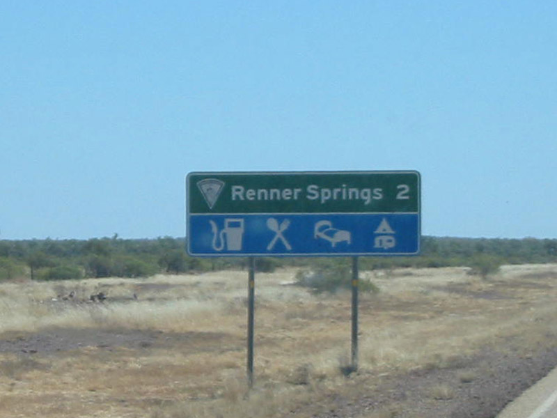 |
Distance Sign: RD sign showing distance to the roadhouse at Renner Springs. August 2008. Image © Kate Pilling |
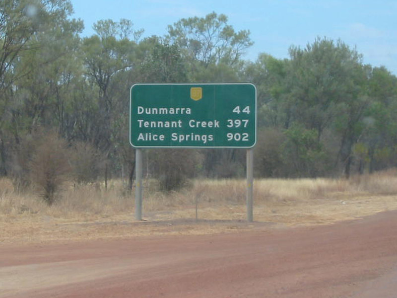 |
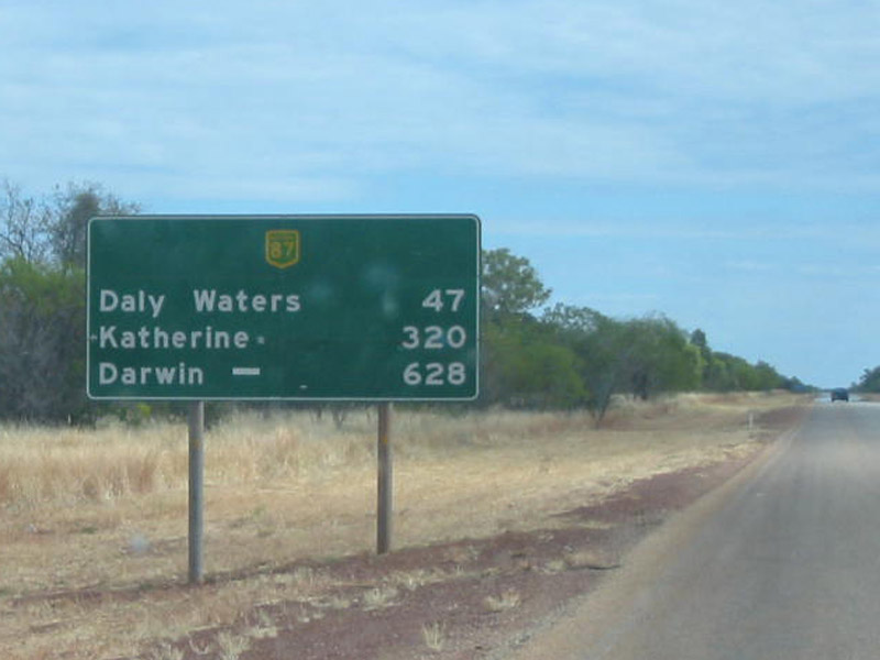
Distance Sign: First southbound RD sign on the NH87 segment of Stuart Highway, at Daly Waters, just after the Carpentaria Highway (NR1) intersection. September 2008. Image © Kate Pilling |
|
 |
Intersection Directional Sign: ID sign facing traffic exiting the Renner Springs Roadhouse. August 2008. Image © Kate Pilling |
 |
Advance Directional Sign: AD sign approaching Buchanan Hwy (C80) at Daly Waters. September 2008. Image © Kate Pilling |
|
 |
Advance Directional Sign: AD sign approaching the intersection with the Barkly Stock Route (SR16). August 2008. Image © Kate Pilling |
 |
Buchanan Hwy Intersection: Sign assembly at the Buchanan Hwy junction at Daly Waters. September 2008. Image © Kate Pilling |
|
 |
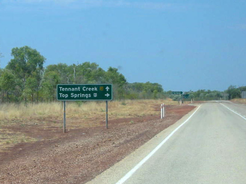
Distance Sign: RD sign after the Barkly Stock Route intersection, Elliott. August 2008. Image © Kate Pilling |
 |
Distance Sign: RD sign at Daly Waters. September 2008. Image © Kate Pilling |
|
 |
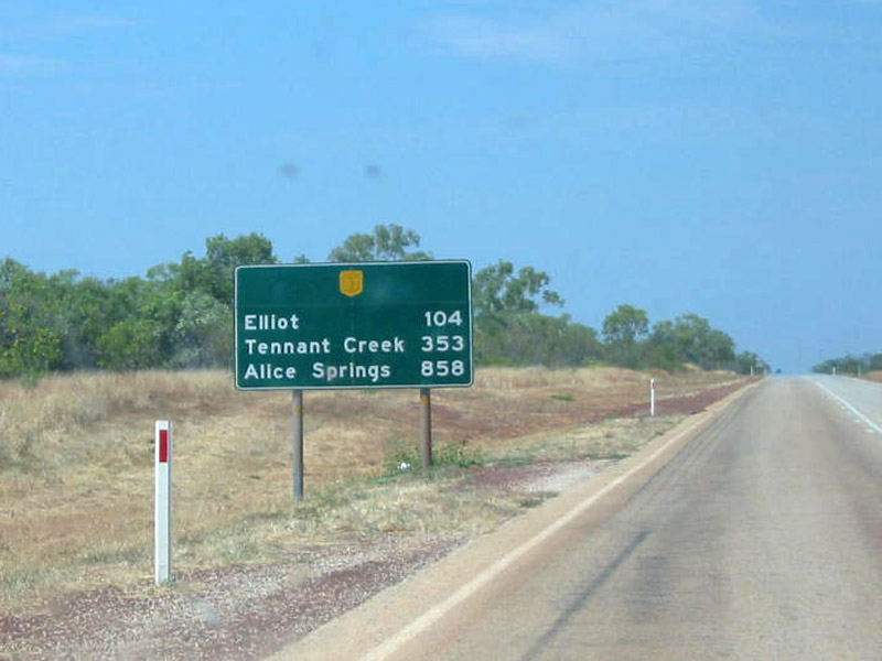
RD Sign: Distance sign as you leave the town of Elliott. August 2008. Image © Kate Pilling |
 |
Distance Sign: RD sign as you leave the Newcastle Waters area. September 2008. Image © Kate Pilling |
|
 |
Distance Sign: RD sign as you leave Newcastle Waters. August 2008. Image © Kate Pilling |
 |
RD Sign: Distance sign located as you leave Elliott. September 2008. Image © Kate Pilling |
|
 |
Distance Sign: RD sign near Dunmurra Roadhouse. August 2008. Image © Kate Pilling |
 |
Intersection Sign: ID sign facing the Renner Springs Roadhouse. March 2012. Image © Alan Kelly |
|
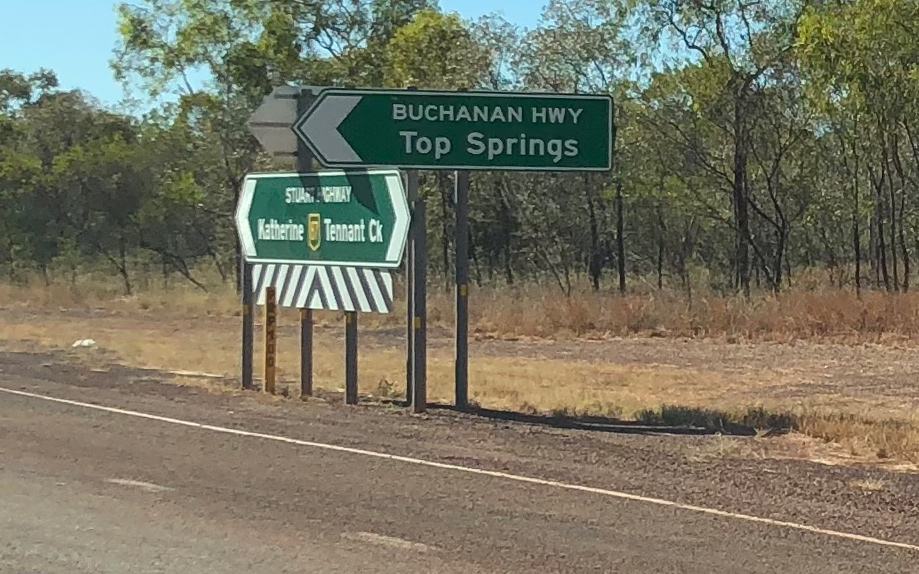 |
Buchanan Hwy Intersection: Sign assembly at the Buchanan Hwy junction at Daly Waters. June 2018. Image © Dean Sherry |
|||
 |
RD Sign: Distance sign after the intersection with Buchanan Hwy. August 2008. Image © Kate Pilling |
|||
 |
RD Sign: Distance sign after the Daly Waters turn off. August 2008. Image © Kate Pilling |
|||
 |
Advance Directional Sign: AD sign approaching the intersection with Carpentaria Highway (NR1) near Daly Waters and the Hi-Way Inn Roadhouse. August 2008. Image © Kate Pilling |
|||
 |
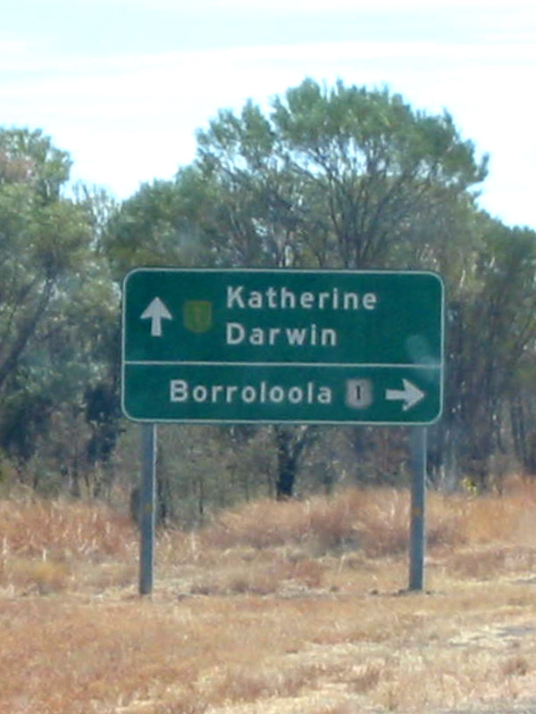
Intersection Directional Sign: Intersection directional sign at the northern terminus of NH87 at the intersection with Carpentaria Hwy (NR1) at Daly Waters Roadhouse. Stuart Hwy continues at NH1, north from this junction. Image taken 2000. Image © Tourism NT |
|||
| Click here for the continuation of NH87 between Barrow and Tennant Creek Click here for the continuation of Stuart Highway as A1 from Daly Waters to Darwin and the WA border |
||||
1 NT Government Chief Minister's Office
Last updated: 06-Jul-2020 22:44
This site © Paul Rands. All rights reserved. Some portions © (copyright) by their respective and credited owners. Permission must be obtained before using any images from this site. For details, please email by clicking here.