|
|
|
|
|
| Camden Valley Way, Camden Bypass, Remembrance Drive & Old Hume Highway (State Route 89) - Narellan to Camden (Decommissioned) |
Statistics:
Route Numbering:


General Information:
State Route 89 is the former Hume Highway alignment between Prestons and Alpine near Mittagong. More of the former Hume Highway alignment continues from the northern terminus into the town of Liverpool. That section is defunct as far as numbering is concerned. This happened when the Roads and Traffic Authority decommisioned the Metroad 7 route between the M2 Hills Motorway at West Pennant Hills to the Metroad 5 Hume Highway at Prestons upon opening the Westlink M7 motorway in December 2005.
The route has a very big history, which goes back to the the first road south from Sydney, known as the Great South Road, which was formed in the 1800s. Some sections of the route still utilise the concrete pavement laid in the 1940s. The route is made up of mostly undivided road, however there's sections of 2 lane rural style road, 3 lane road and 4 lane roadway throughout the route, the Camden Bypass is freeway standard from Narellan and Elderslie.
Multiplexes along the route include:
History:
Click here for the former Hume Highway alignment at Narellan.
| Narellan to Camden | Camden To Narellan | |||
| Preview: | Description: | Preview: | Description: | |
 |
Advance Directional Sign: Southbound AD on Narellan Road (this section is the duplex of SR89 and Metroad 9) at Narellan as you approach the interchange with Camden Bypass. April 2011. Image © Paul Rands |
 |
Divided Road Ahead Sign: Sign announcing improved road conditions ahead, northbound at Camden Park, December 2005. Image © Paul Rands |
|
 |
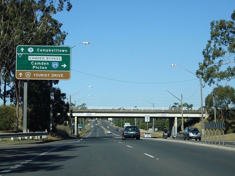
Camden Bypass Interchange: Southbound onramp and signage at the Camden Bypass / Narellan Road at Narellan. April 2011. Image © Paul Rands |
 |
Start Divided Road: Image © Paul Rands |
|
 |
Camden Bypass Interchange: Southbound onramp and signage at the Camden Bypass / Narellan Road at Narellan. December 2005. Image © Paul Rands
|
 |
Old Services Sign: Old style local services sign, dating back to the days this road was national highway as you head north on Old Hume Highway at Camden South, December 2005. Image © Paul Rands |
|
 |
Camden Bypass: Southwest bound through Narellan Vale, December 2005. Image © Paul Rands |
 |
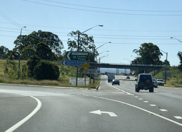
Old Hume Highway / Camden Bypass Junction: Looking northbound on Old Hume Hwy at Camden, as you enter the intersection with the Old Hume Highway and Camden Bypass, December 2005. The TD12 duplex splits off here to travel through the Camden town centre. Traffic signals were installed here for the first time in the early 1990s. Image © Paul Rands |
|
 |
Distance Sign: Image © Paul Rands |
|||
 |
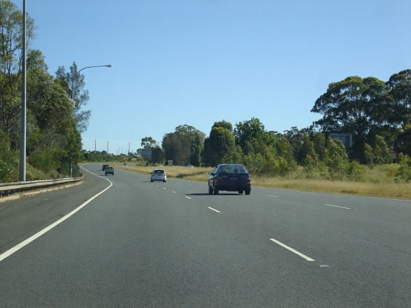
Southbound at Spring Farm: Heading into the Camden area on the southbound carriageway at Spring Farm, December 2005. Image © Paul Rands |
|||
 |
Services Sign: Camden services sign from the 1970s as you approach the Elderslie interchange at Spring Farm, December 2005. Image © Paul Rands |
|||
 |
Approaching Elderslie Interchange: Southbound near the Elderslie interchange and bridge over the Nepean River at Spring Farm, December 2005. Image © Paul Rands |
|||
 |
Elderslie Interchange: Southwest through the Elderslie interchange. The interchange is only partially grade separated with southbound traffic from Camden accessing the bypass at an at grade crossing. April 2011 Image © Paul Rands |
|||
 |
Elderslie Interchange: Southwest through the Elderslie interchange. The interchange is only partially grade separated with southbound traffic from Camden accessing the bypass at an at grade crossing. April 2011. Image © Paul Rands |
|||
 |
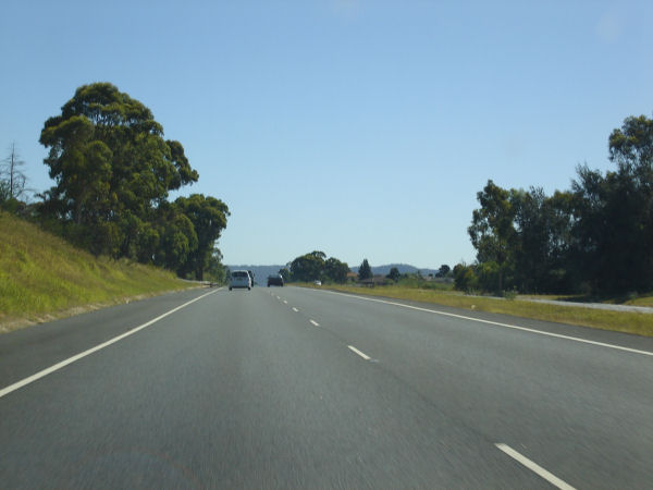
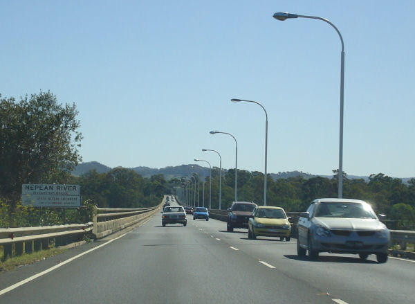
Approaching Macarthur Bridge: The divided road / near freeway conditions end here at Macarthur Bridge to cross the Nepean River, December 2005. Image © Paul Rands |
|||
 |
Macarthur Bridge: Looking southbound over the Nepean River at Spring Farm, December 2005. Image © Paul Rands |
|||
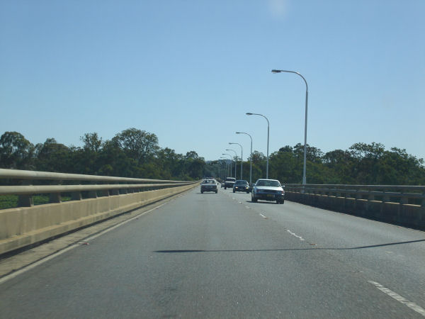 |
Macarthur Bridge: Looking southbound over the Nepean River at Spring Farm, December 2005. Image © Paul Rands |
|||
 |
Old Hume Highway Junction: Looking southbound as you enter the intersection with the Old Hume Highway (TD12), December 2005. This is where the TD12 duplex is reintroduced after being dropped at the Northern Road intersection in Narellan. Image © Paul Rands |
|||
 |
Advance Directional Sign: Looking southbound at Camden South through the Old Hume Highway Intersection and approaching Burragorang Road, April 2011. Click here for a photo of this location by Paul Rands from December 2005. Image © Paul Rands |
|||
 |
Old Hume Highway: Camden Bypass (SR89) at the junction with Remembrance Driveway (Old Hume Hwy) (SR89) and Old Hume Hwy at Camden South. April 2011. Image © Paul Rands |
|||
 |
Distance Sign: Image © Paul Rands |
|||
 |
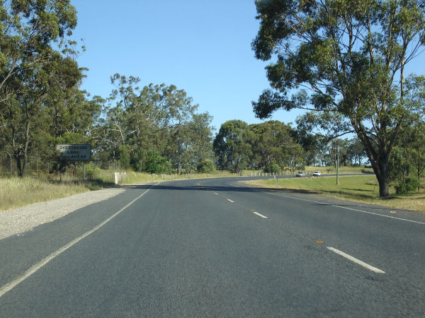
End Divided Road: End of divided roadway, southbound at Camden South, December 2005. Image © Paul Rands |
|||
 |
Southbound at Camden Park: Looking towards Picton as you pass through Camden Park, December 2005. Image © Paul Rands |
|||
 |
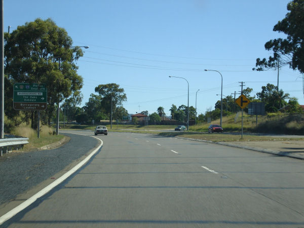
Bridgewater Boulevarde Intersection: Southbound at Camden Park, December 2005. Image © Paul Rands |
|||
 |
Distance Sign: Looking southbound as you pass the distance sign near the Elizabeth Macarthur Agricultural Institute at Camden Park, December 2005. Image © Paul Rands |
|||
 |
Southbound at Camden Park: Looking southbound as you pass the distance sign near the Elizabeth Macarthur Agricultural Institute at Camden Park, December 2005. Image © Paul Rands |
|||
| Click here for the continuation of SR89 between Camden and Picton | ||||
1 Roads and Traffic Authority
2 Argyle County web site
Last updated: 15-Aug-2020 14:59
This site © Paul Rands. All rights reserved. Some portions © (copyright) by their respective and credited owners. Permission must be obtained before using any images from this site. For details, please email by clicking here.