|
|
|
|
|
| Tomago Road, Cabbage Tree Road, Nelson Bay Road & Stockton Street (State Route 122) (Decommissioned) |
Statistics:
Route Numbering:
General Information:
State Route 122 is a significant east-west route north of Newcastle, connecting the Pacific and New England Highways and the Sydney-Newcastle Freeway to the Port Stephens area. It consists or both arterial road and rural highway qualities and passes through both industrial, farming and tourist areas.
Nelson Bay Road connects the Tomaree and Tilligerry Peninsulas to Newcastle and Sydney. The long and narrow width of the peninsulas means that access to and from them is restricted to this one road. Nelson Bay Road also provides connection to current and future local and regional employment areas, namely Newcastle Airport, Thornton/Beresfield, Tomago, Kooragang and Carrington. 1
SR122 was once duplexed with SR121 along Nelson Bay Road from the Cabbage Tree Road intersection to the Medowie Road turn-off, but SR121 now terminates at the roundabout with Cabbage Tree Road in Williamtown.
History:

| Nelson Bay to Tomago | Tomago to Nelson Bay | |||
| Preview: | Description: | Preview: | Description: | |
 |
Advance Directional Sign : AD sign at Anna Bay on Gan Gan Rd approaching Nelson Bay Rd (SR122), July 2012. Image © Paul Rands |
 |
Intersection Directional Sign : ID sign on the roundabout with Salt Ash Av and Richardson Rd at Salt Ash, July 2012. Image © Paul Rands |
|
 |
Supplemental Advance Directional Sign : Supplemental AD sign at Anna Bay approaching Jessie Rd & Port Stephens Rd, July 2012. Image © Paul Rands |
|||
 |
Advance Directional Sign : AD sign at Anna Bay approaching Jessie Rd & Port Stephens Rd, July 2012. Image © Paul Rands |
|||
 |
Intersection Directional Sign : ID sign at Anna Bay at the roundabout with Jessie Rd & Port Stephens Rd, July 2012. Image © Paul Rands |
|||
 |
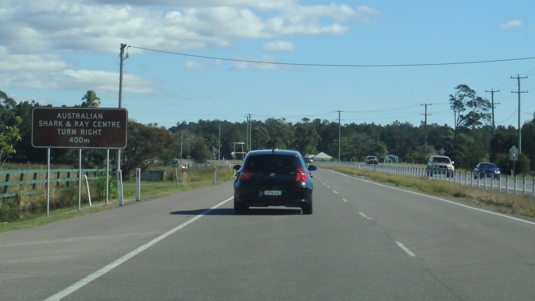
Wildlife Sign : Wildlife warning and hotline sign, Anna Bay, July 2012. Image © Paul Rands |
|||
 |
Trotter Road : Intersection directional sign at Trotter Rd, Anna Bay, July 2012. Image © Paul Rands |
|||
 |
Entering Bobs Farm : Entering the town of Bobs Farm, July 2012. Image © Paul Rands |
|||
 |
Divided Road Ahead : Sign denoting distance to next stretch of divided road, Bobs Farm, July 2012. Image © Paul Rands |
|||
 |
Divided Road: Restart of divided road conditions at Bobs Farm, July 2012. Image © Paul Rands |
|||
 |
Advance Directional Sign : AD sign at Bobs Farm, approaching Marsh Rd, July 2012. Image © Paul Rands |
|||
 |
Marsh Road : Corner of Nelson Bay Rd and Marsh Rd, Bobs Farm, July 2012. Image © Paul Rands |
|||
 |
Typical Conditions : Typical divided road conditions, Bob Farm, July 2012. Image © Paul Rands |
|||
 |
Entering Salt Ash : End of divided road as Nelson Bay Rd (SR122) enters the town of Salt Ash, July 2012. Image © Paul Rands |
|||
 |
Divided Road Ahead : Sign denoting distance to next stretch of divided road, Salt Ash, July 2012. Image © Paul Rands |
|||
 |
Advance Directional Sign : AD sign at Salt Ash, approaching Oakvale Dr and Lemon Tree Passage Rd, July 2012. Image © Paul Rands |
|||
 |
Supplemental Advance Directional Sign : Supplemental AD sign at Salt Ash, approaching Oakvale Dr and Lemon Tree Passage Rd, July 2012. Image © Paul Rands |
|||
 |
Intersection Directional Sign : ID sign on the roundabout with Oakdale Dr and Lemon Tree Passage Rd, Salt Ash, July 2012. Image © Paul Rands |
|||
 |
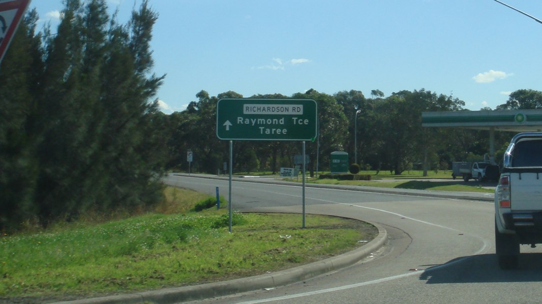
Advance Directional Sign : AD sign at Salt Ash, approaching the roundabout with Richardson Rd and Salt Ash Av, July 2012. Image © Paul Rands |
|||
 |
Intersection Directional Sign : ID sign at Salt Ash, on the roundabout with Richardson Rd and Salt Ash Av, July 2012. Image © Paul Rands |
|||
 |
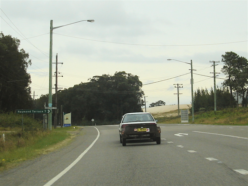
Distance Sign: Westbound RD sign after the Nelson Bay Road roundabout at Williamtown. August 2007. Image © Paul Rands |
|||
 |
Typical Conditions: The average conditions along Cabbage Tree Road, mostly rural farmlets in this area between Williamtown and Tomago. August 2007 Image © Paul Rands |
|||
 |
Masonite Road Intersection: Westbound through the Masonite Road intersection at Tomage. Masonite Road connects Tomago directly to Raymond Terrace. August 2007. Image © Paul Rands |
|||
 |
AD Sign: Advance directional sign at Tomago as you approach the Old Punt Road roundabout, August 2007. Image © Paul Rands |
|||
 |
Distance Sign: Westbound RD sign after the Old Punt Rd intersection at Tomago, August 2007. Image © Paul Rands |
|||
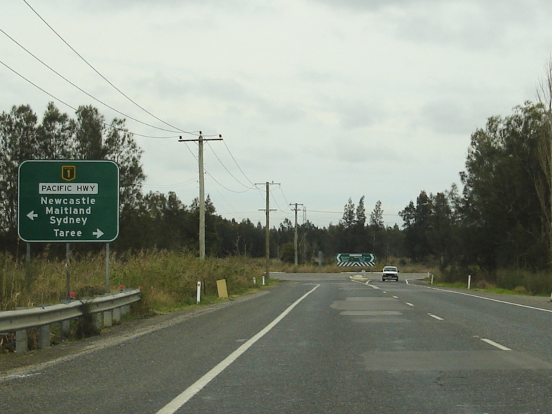 |
Pacific Hwy Approach: Westbound advance directional sign as you approach the Pacific Hwy at Tomago. August 2007. Note the incorrect NH1 shield, it should be a black and white NR1 shield. Image © Paul Rands |
|||
 |
End SR122: Western terminus for State Route 122, the Pacific Highway (NR1) at Tomago. This photo was taken before the upgrade to the intersection, August 2007. Note the incorrect NH1 shield. Image © Paul Rands |
|||
1 Port Stephens Council
2 Roads & Traffic Authority
Last updated: 30-Oct-2018 13:13
This site © Paul Rands. All rights reserved. Some portions © (copyright) by their respective and credited owners. Permission must be obtained before using any images from this site. For details, please email by clicking here.