
| |
Bruxner Highway (National Route 44) - Uralba to Casino (Decommissioned) |
Statistics:
Route Numbering:
General Information:
The Bruxner Highway is named after Michael Bruxner, member for Northern Tablelands and Tenterfield from 1920 to 1962, leader of the New South Wales Country Party for almost all that period and Deputy Premier and Minister for Transport from 1932 to 1941. Mr Bruxner grew up in the Tenterfield area.
The Bruxner Highway is the State's most northerly highway from the coast to the interior plains.
The western section from Tenterfield to Boggabilla was never officially signposted as NR44 as planned, as the route was never fully sealed at the western end, however this section is now fully sealed.
History:
| Preview: | Description: |
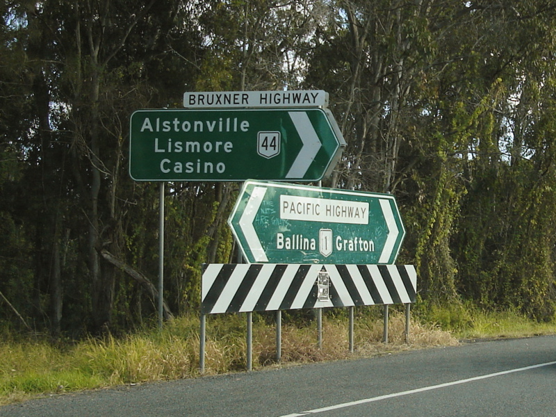 |
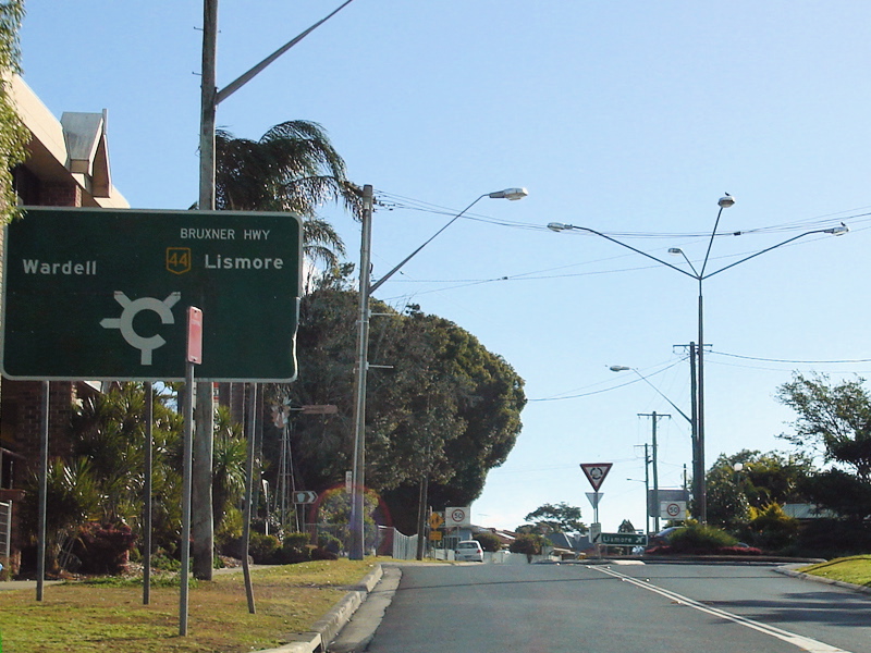
Intersection
Directional Sign Assembly: ID sign assembly at Uralba at the corner of Pacific Hwy (NR1) and Bruxner Hwy (NR44), July 2007. Image © Paul Rands |
|
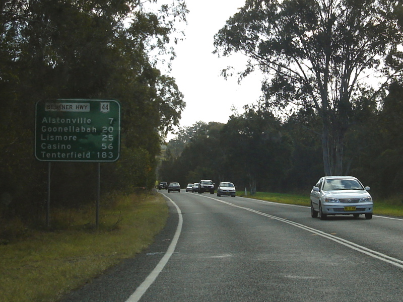
Distance
Sign: RD sign Uralba just after the junction with Pacific Hwy (NR1), July 2007. Image © Paul Rands |
|
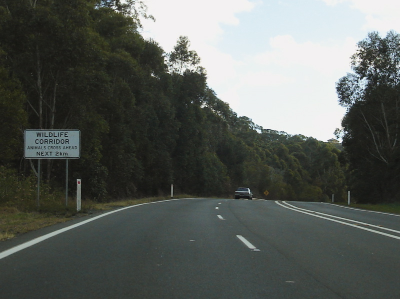
Wildlife
Corridor: Custom sign indicating wildlife may be found crossing the road, Uralba, July 2007. Image © Paul Rands |

|
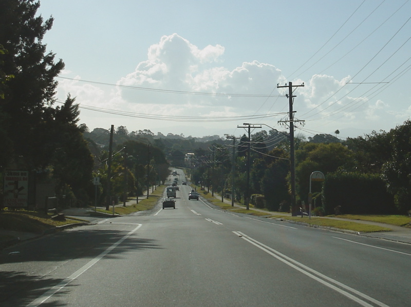
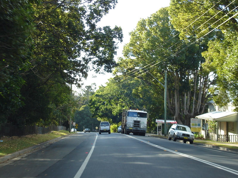
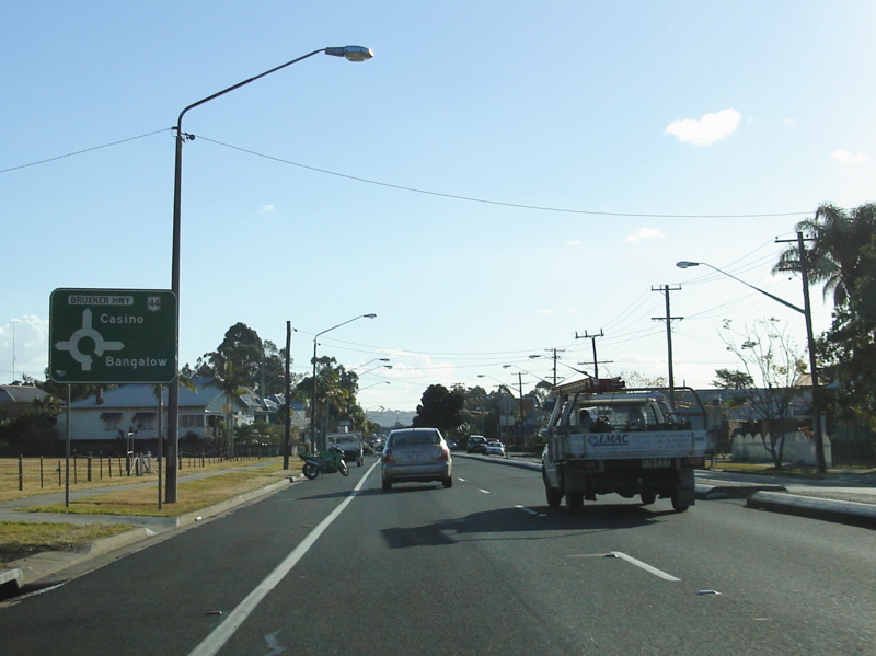
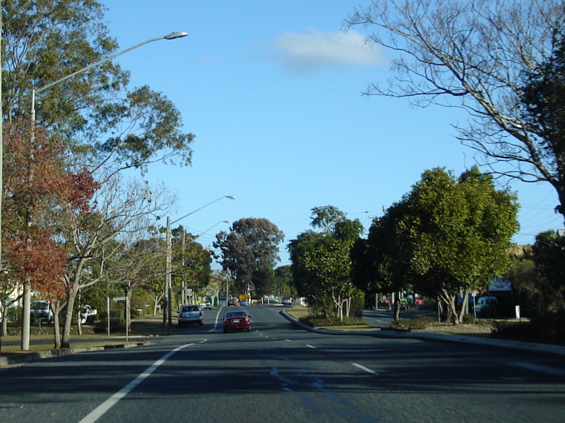
Entering
Alstonville: Bruxner Hwy (NR44) as it enters Alstonville, July 2007. Image © Paul Rands |
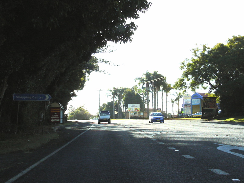
|
Alstonville: Bruxner Hwy (NR44) as it passes through the town of Alstonville, July 2007. Image © Paul Rands |
 |
Approaching
Daley Street: Bruxner Hwy (NR44) as it approaches Daley St in Alstonville, July 2007. Note the incorrect NH44 shield on the sign. Image © Paul Rands |

|
Alstonville: Bruxner Hwy (NR44) as it passes through the town of Alstonville, July 2007. Image © Paul Rands |
 |
Approaching
Pearces Creek Road: Bruxner Hwy (NR44) as it near Pearces Creek Rd at Alstonville, July 2007. Image © Paul Rands |
 |
Macguires
Creek: Bruxner Hwy (NR44) as it crosses Macguires Creek at Alstonvill, July 2007. Image © Paul Rands |

|
Wollongbar: Bruxner Hwy (NR44) as it passes through Wollongbar, July 2007. Image © Paul Rands |
 |
Rifle
Range Road: Corner of Bruxner Hwy (NR44) and Rifle Range Rd at Wollongbar, July 2007. Image © Paul Rands |

|
Wollongbar: Bruxner Hwy (NR44) as it passes through Wollongbar, July 2007. Image © Paul Rands |
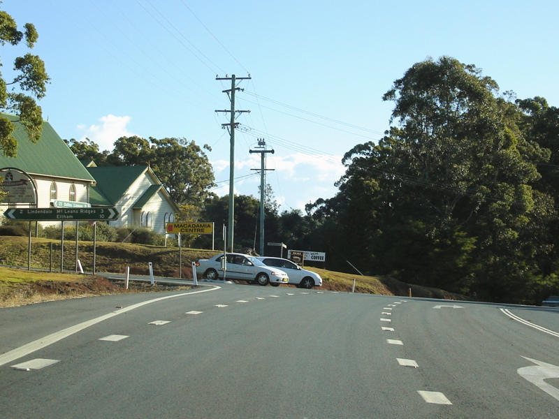 |
Lindendale
Road & Converys Lane: Corner of Bruxner Hwy (NR44), Lindendale Rd and Converys Rd at Wollongbar, July 2007. Image © Paul Rands |
|
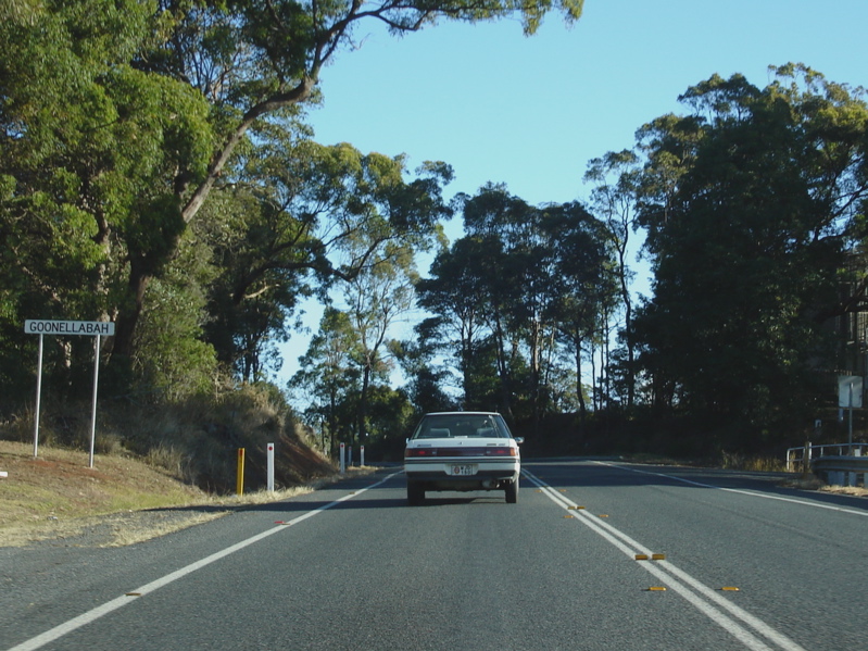
Entering
Goonellabah: Bruxner Hwy (NR44) as it enters the town of Goonellabah, July 2007. Image © Paul Rands |
|
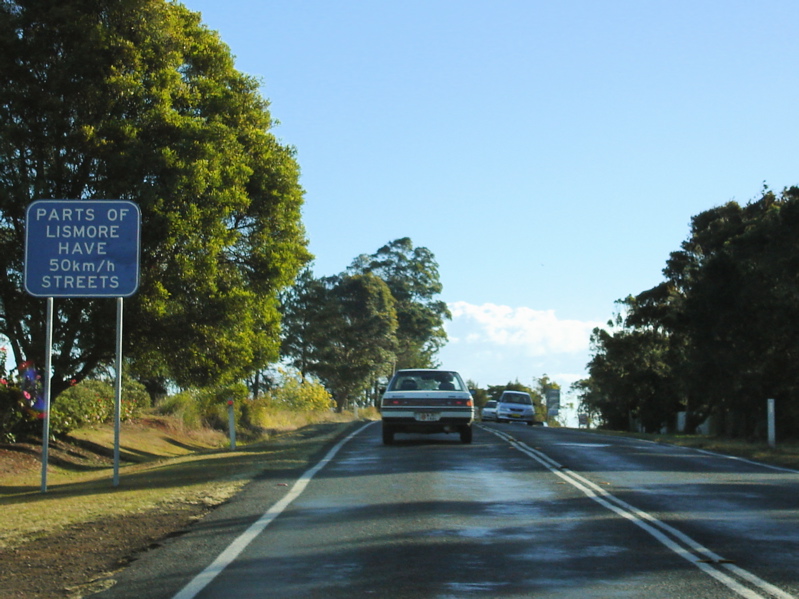
50km/h
Streets Sign: Sign indicating that parts of the Lismore area has streets with 50 km/h speed limits - the sign is a remnant from when 50 km/h urban speed limits were introduced. Goonellabah, July 2007. Image © Paul Rands |
 |
Advance
Directional Sign: AD sign on Bruxner Hwy (NR44) approaching Holland St in Goonellabah, July 2007. Image © Paul Rands |
 |
Advance
Directional Sign: AD sign on Holland St approaching Bruxner Hwy (NR44) in Goonellabah, July 2007. Image © Paul Rands |
|
Goonellabah: Dual carriageway section of Bruxner Hwy (NR44) as it passes through Goonellabah, July 2007. Image © Paul Rands |
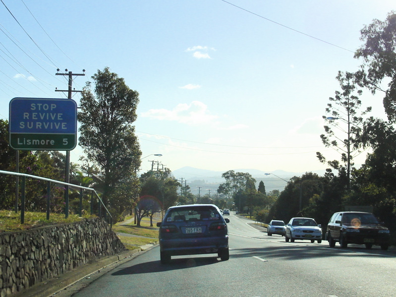 |
Distance
Sign: RD sign at Lismore Heights, July 2007. Image © Paul Rands |
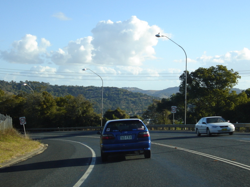 |
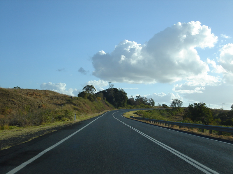
Lismore
Heights: Bruxner Hwy (NR44) as it winds its way down the hill at Lismore Heights. July 2007. Image © Paul Rands |
|
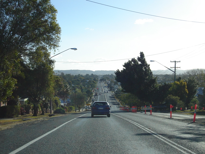
Entering
Lismore: Bruxner Hwy (NR44) as it enters the town of Lismore, July 2007. Image © Paul Rands |
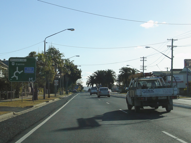 |
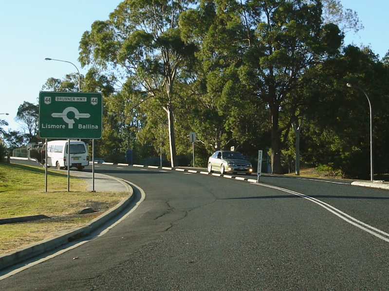
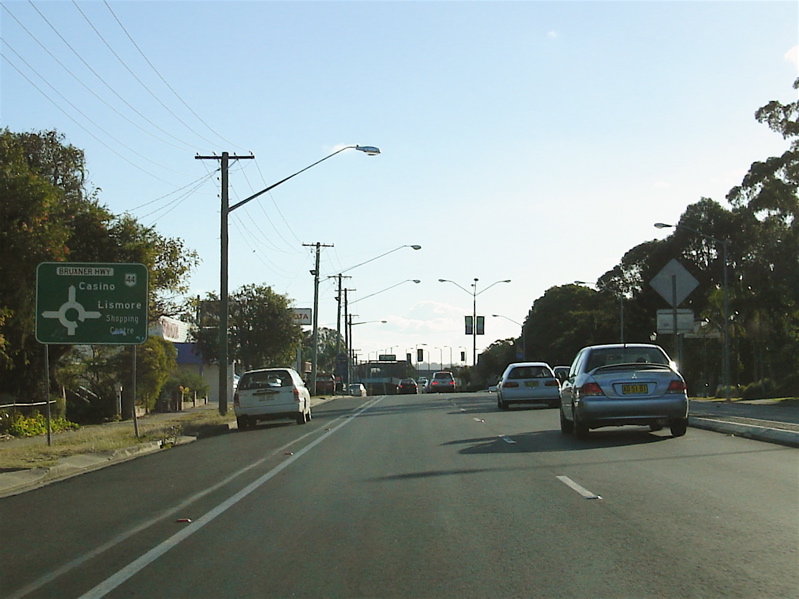
Advance
Directional Sign: AD sign at Lismore approaching the roundabout with Conway St and Wyrallah Rd, July 2007. Image © Paul Rands |
 |
Intersection
Directional Sign: AD style signage acting as ID signs at Lismore on the Conway St & Wyrallah Rd roundabout, July 2007. Image © Paul Rands |
 |
Advance
Directional Sign: AD sign on Bruxner Hwy (NR44) in Lismore approaching the Dawson St (TD24) roundabout, July 2007. Image © Paul Rands |
 |
Dawson
Street Roundabout: Corner of Bruxner Hwy (NR44) and Dawson St (TD24) in Lismore, July 2007. Image © Paul Rands |
 |
Advance
Directional Sign: AD sign on Bruxner Hwy (NR44) (Ballina St) at Lismore approaching Molesworth St roundabout, July 2007. Image © Paul Rands |
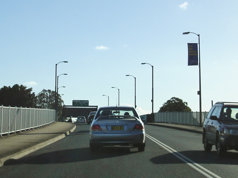 |
Ballina
Street Bridge: Ballina St Bridge over Wilsons River at Lismore, July 2007. Image © Paul Rands |
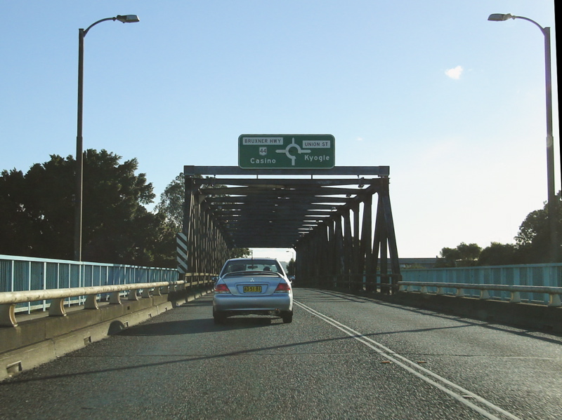 |
Advance
Directional Sign: AD sign attached to the Ballina St Bridge for the roundabout with Union St and Elliot Rd, July 2007. Image © Paul Rands |
 |
South
Lismore: Bruxner Hwy (NR44) near Foleys Rd in South Lismore, July 2007. Image © Paul Rands |
 |
Advance
Directional Sign: AD sign on Bruxner Hwy (NR44) approaching the roundabout with Three Chain Rd in South Lismore, July 2007. Image © Paul Rands |
 |
Loftville
Bridge: Bruxner Hwy (NR44) at Loftville, July 2007. Image © Paul Rands |
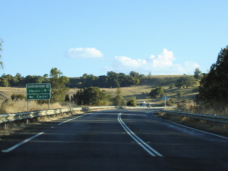 |
Advance
Directional Sign: Battered AD sign on Bruxner Hwy (NR44) at Gundarimba approaching Coraki Rd, July 2007. Image © Paul Rands |

|
Distance
Sign: RD sign at Gundarimba, July 2007. Image © Paul Rands |
|
Gundarimba
Area: Bruxner Hwy (NR44) as it passes Gundarimba, July 2007. Image © Paul Rands |
 |
South
Gundarimba Area: Bruxner Hwy (NR44) as it passes South Gundarimba, July 2007. Image © Paul Rands |
 |
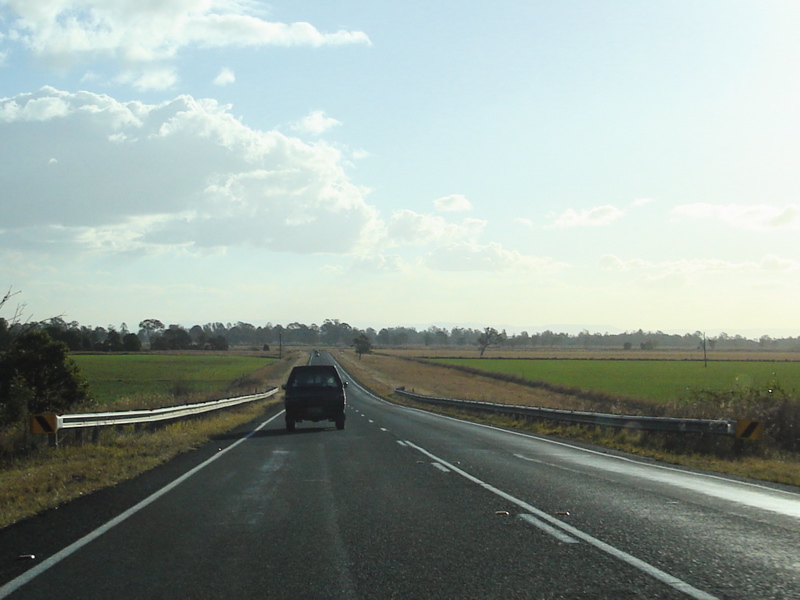
Tomki
Creek: Bruxner Hwy (NR44) as it crosses Tomki Ck at Tomki, July 2007. Image © Paul Rands |
| Click here for the continuation of NR44 between Casino and Tenterfield | |
1 Schedule
of Classified Roads (and unclassified Regional Roads), 25 February 2008
2 The Roadmakers, A History of
Main Roads in New South Wales
3 Roads &
Traffic Authority, Heritage and Conservation Register, Macadamized Road
Bruxner Highway
4 Lismore City Council,
History of Lismore, 1950s and 1960s
5 Roads
& Traffic Authority, Construction and Maintenance, Regional
projects, North Coast, Alstonville Bypass
Last updated: 17-Dec-2019 0:55
This site © Paul Rands. All rights reserved. Some portions © (copyright) by their respective and credited owners. Permission must be obtained before using any images from this site. For details, please email by clicking here.