|
|
|
|
|

|
Great Western Highway, Mitchell Highway & Barrier Highway (National Route 32) - South Australia Border to Nyngan (Decommissioned) |
Statistics:
Route Numbering:
General Information:
National Route 32 is the main route linking the New South Wales state capital, Sydney, with the west of the state. The road varies from arterial road conditions, rural expressway and rural highway.
The Barrier Highway is a highway in New South Wales and South Australia.
The Barrier Highway starts at Nyngan where it joins the Mitchell Highway. It heads west to Cobar. It then continues to Wilcannia, then further west it passes through Broken Hill and enters South Australia, turning southwest towards Adelaide. It joins Main North Road at Giles Corner between Riverton and Tarlee. Route A32 continues on Main North Road to Gawler where it joins the Sturt Highway (A20). The area traversed by the Barrier Highway is remote and very sparsely settled.
History:
| SA Border to Nyngan | Nyngan to SA Border | |||
| Preview: | Description: | Preview: | Description: | |
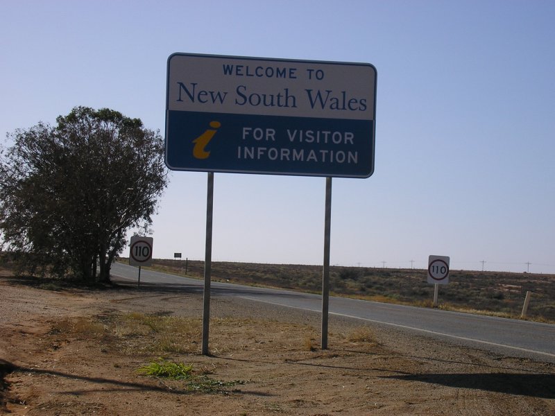 |
State Welcome Sign: NSW border signage at Cockburn, March 2007. Click here for a photo of this location by Michael Greenslade from December 2003. Image © Mitchell Oliver |
 |
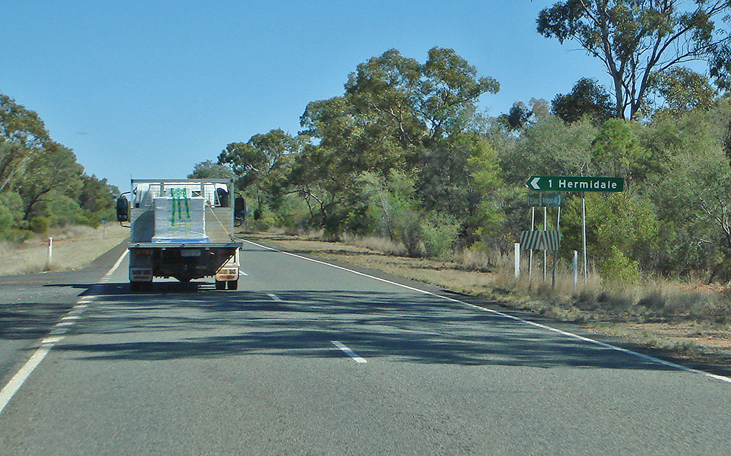
Yarrandale Road: Corner of Barrier Hwy (NR32) and Yarrandale Rd at Hermidale, August 2011. Image © Paul Rands |
|
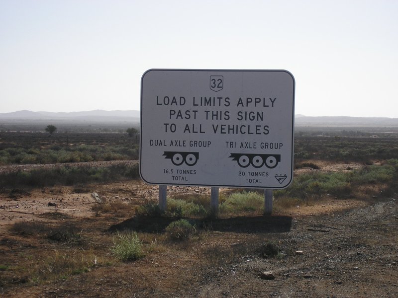 |
NSW Load Limits Sign: Load limits sign as you cross the NSW-SA border at Cockburn, March 2007. Image © Mitchell Oliver |
 |
Yoongee Street: Corner of Barrier Hwy (NR32) and Yoongee St at Hermidale, August 2011. Image © Paul Rands |
|
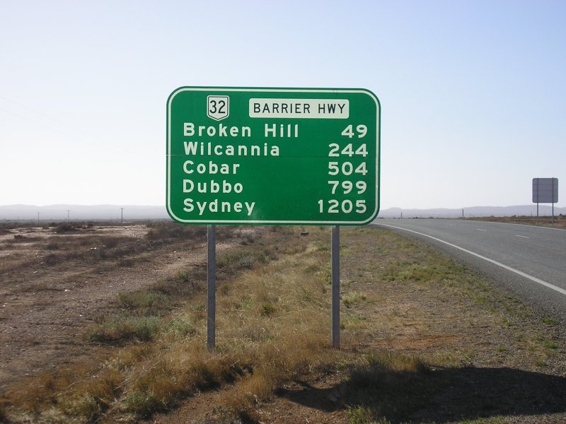 |
Distance Sign: RD sign eastbound at Cockburn, March 2007. Click here for a photo of this location by Michael Greenslade from December 2003, featuring a black sign. Image © Mitchell Oliver |
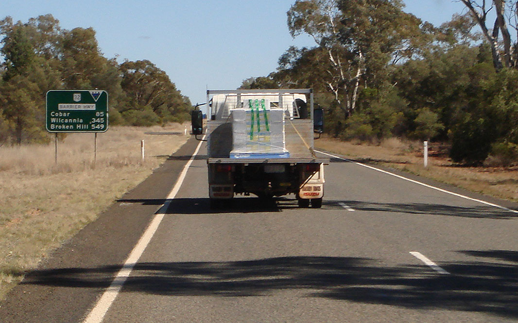 |
Distance Sign: Reassurance directional sign at Hermidale, August 2011. Image © Paul Rands |
|
 |
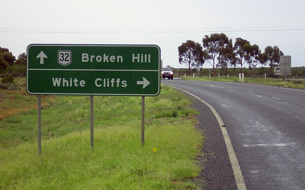
Entering Broken Hill: Image © Michael Greenslade |
 |
Walwa Street: Corner of Barrier Hwy (NR32) and Walwa St at Hermidale, August 2011. Image © Paul Rands |
|
 |
Distance Sign: Reassurance directional sign as Barrier Hwy (NR32) leaves Broken Hill, March 2006. Image © Richard Wardle |
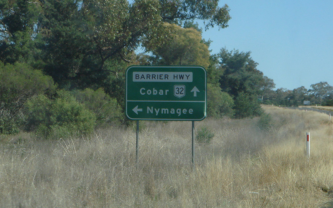 |
Advance Directional Sign: AD sign at Canbelego approaching Rosevale Road, August 2011. Image © Paul Rands |
|
 |
Black Kilometre Plate: Image © Michael Greenslade |
 |
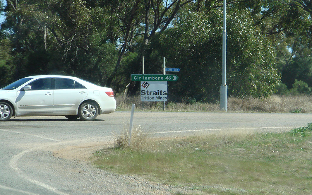
Rosedale Road: Corner of Barrier Hwy (NR32) and Rosedale Rd, Canbelego, August 2011. Image © Paul Rands |
|
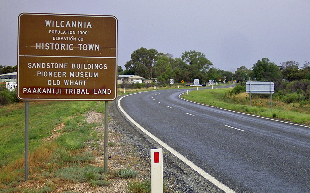 |
Entering Wilcannia: Barrier Hwy (NR32) as it enters the town of Wilcanna, December 2003. Image © Michael Greenslade |
 |
Booroomugga Road: Corner of Barrier Hwy (NR32) and Booroomugga Rd, Canbelego, August 2011. Image © Paul Rands |
|
 |
Advance Directional Sign: AD sign approaching Reid St, Wilcannia, December 2003. Image © Michael Greenslade |
 |
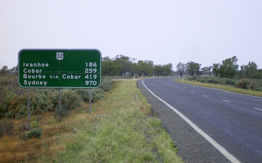
Entering Cobar: Barrier Hwy (NR32) as it enters the town of Cobar, August 2011. Image © Paul Rands |
|
 |
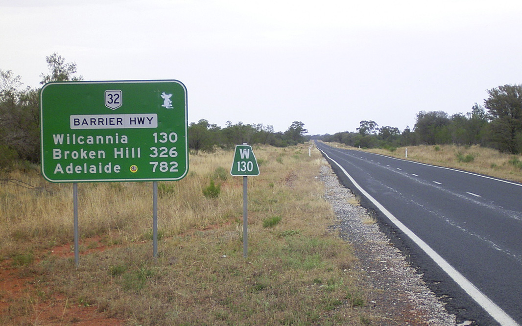
Reassurance Directional Sign: Distance sign at Wilcannia, December 2003. Image © Michael Greenslade |
 |
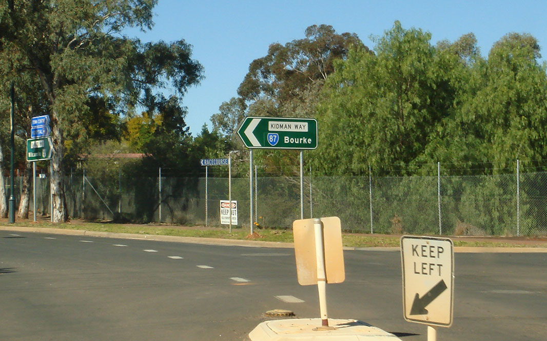
Advance Directional Sign: AD sign approaching Kidman Way (SR87) at Cobar, August 2011. The SR87 duplex starts at this intersection. Image © Paul Rands |
|
 |
Advance Directional Sign: AD sign at Wilcannia approaching Cobb Hwy, December 2003. Image © Michael Greenslade |
 |
Welcome Sign: Large welcome sign at the corner of Barrier Hwy (NR32) and Kidman Way (SR87) at Cobar, August 2011. Image © Paul Rands |
|
 |
Reassurance Directional Sign: Distance sign at Wilcannia, December 2003. Image © Michael Greenslade |
 |
Advance Directional Sign: Image © Michael Greenslade |
|
 |
Services Sign: Image © Michael Greenslade |
 |
Cobar: Barrier Hwy (NR32) as it passes through the town of Cobar, August 2011. Image © Paul Rands |
|
 |
Cobar: Barrier Hwy (NR32) as it passes through the town of Cobar, August 2011. Image © Paul Rands |
 |
Black Reassurance Directional Sign: Black distance sign at Cobar, December 2003. Image © Michael Greenslade |
|
 |
Advance Directional Sign: AD sign approaching Frederick St and Barton St in Cobar, August 2011. Image © Paul Rands |
 |
Advance Directional Sign: Image © Michael Greenslade |
|
 |
Cobar: Barrier Hwy (NR32) (Marshall St) as it passes through the town of Cobar, August 2011. Image © Paul Rands |
 |
Reassurance Directional Sign: Distance sign at Noona, December 2003. Image © Michael Greenslade |
|
 |
Advance Directional Sign: AD sign approaching Kidman Way (SR87) at Cobar, August 2011. The SR87 duplex starts at this intersection. Image © Paul Rands |
 |
Services Sign: Image © Michael Greenslade |
|
 |
Kidman Way: Corner of Barrier Hwy (NR32) and Kidman Way (SR87) in Cobar, August 2011. The SR87 duplex starts at this intersection. Image © Paul Rands |
 |
Advance Directional Sign: Image © Michael Greenslade |
|
 |
Advance Directional Sign: AD sign approaching Kidman Way (SR87) at Cobar, August 2011. The SR87 duplex ends at this intersection. Image © Paul Rands |
 |
Woore Street: Image © Michael Greenslade |
|
 |
Booroomugga Road: Corner of Barrier Hwy (NR32) and Booroomugga Rd, Canbelego, August 2011. Image © Paul Rands |
 |
Advance Directional Sign: Image © Michael Greenslade |
|
 |
Entering Hermidale: Barrier Hwy (NR32) as it enters the town of Hermidale, August 2011. Image © Paul Rands |
 |
Timezone Sign: Sign east of Broken Hill indicating a change in time zone, March 2006. Because Broken Hill primarily does business with South Australia, the town operates on South Australian time. Image © Richard Wardle |
|
 |
Distance Sign: Reassurance directional sign at Hermidale, August 2011. Image © Paul Rands |
 |
Kilometre Plate: Image © Michael Greenslade |
|
 |
Intersection Directional Sign: ID sign assembly facing the Florida Rest Area at Canbelego, March 2006. Image © Richard Wardle |
 |
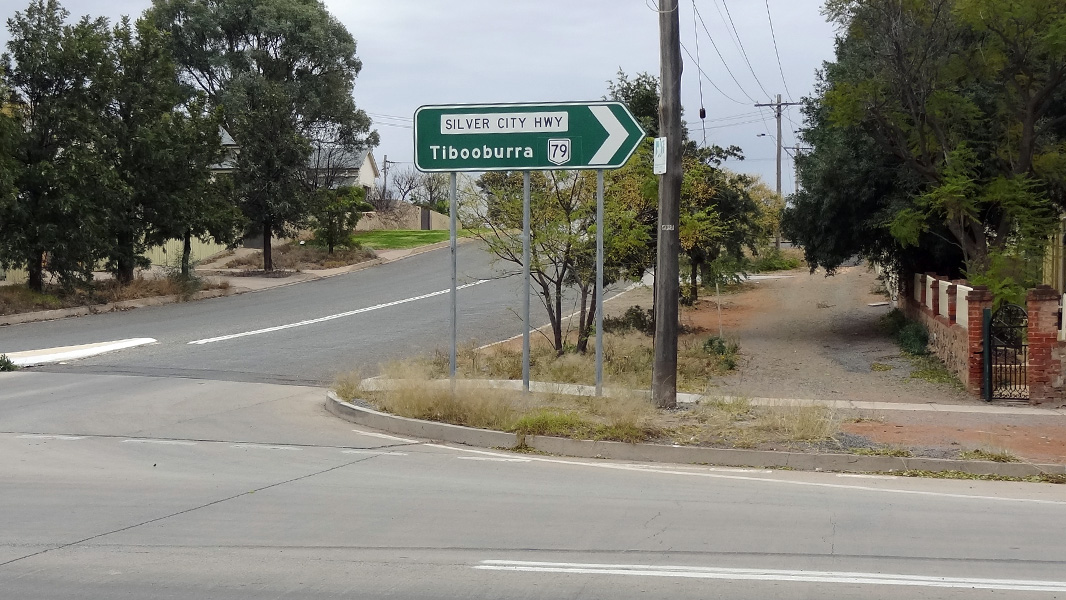
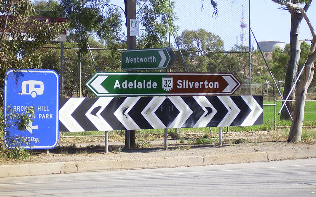
Advance Directional Sign: AD sign on Barrier Hwy (NR32) at Broken Hill approaching Argent St and Silver City Hwy (NR79). NR32 turns right at this junction. Click here for a photo of this location by Michael Greenslade from December 2003. Image © Peter Renshaw |
|
 |
Advance Directional Sign: AD sign on Barrier Hwy (NR32) at Broken Hill approaching Iodide St and Silver City Hwy (NR79). NR32 turns left at this junction. Click here for a photo of this location by Michael Greenslade from December 2003. Image © Peter Renshaw |
|||
 |
Intersection Directional Sign: ID sign at Broken Hill at the junction with Iodide St and Silver City Hwy (NR79). NR32 turns left at this junction. Image © Peter Renshaw |
|||
 |
Advance Directional Sign: Image © Michael Greenslade |
|||
 |
Intersection Directional Sign: Image © Michael Greenslade |
|||
 |
Reassurance Directional Sign: Distance sign at Broken Hill, December 2003. Image © Michael Greenslade |
|||
 |
Entering Cockburn: Image © Michael Greenslade |
|||
 |
Cockburn: Image © Michael Greenslade |
|||
 |
NSW-SA Border: Old wooden border crossing sign at Cockburn, March 2007. Image © Mitchell Oliver |
|||
| Click here for the continuation of NR32 between Nyngan and Dubbo Click here for the continuation of Barrier Highway as A32 within South Australia |
||||
1 Roads and Traffic Authority, Schedule of Classified Roads (and unclassified Regional Roads), 25 February 2008
2 Department of Main Roads. The Roadmakers, A History of Main Roads in New South Wales, ISBN 0 7240 0439 4
Last updated: 10-Sep-2020 0:37
This site © Paul Rands. All rights reserved. Some portions © (copyright) by their respective and credited owners. Permission must be obtained before using any images from this site. For details, please email by clicking here.