|
|
|
|
|
 |
Pacific Highway, New England Highway, John Renshaw Drive, Southern Freeway, Mount Ousley Road & Princes Highway (National Route 1) (Decommissioned) - South Nowra to Ulladulla |
Statistics:
Route Numbering:
General Information:
National Route 1 forms part of the main coastal route between Victoria and Queensland. The route features a mix of rural highway, arterial and freeway design standards. The route forms part of what is collectively known as Highway 1. It is Australia's coastal highway joining all mainland's state capitals and coastal towns circumnavigating the entire Australian continent. It is also the longest numbered highway in the world, covering more than 14 500 km.
In New South Wales, National Route 1 was truncated by National Highway 1 between Beresfield and Wahroonga, by Metroad 1 between Wahroonga and Waterfall and by M1 at Tweed Heads West.
Southern Section:
The southern section of National Route 1 is formed by 2 separate sections of the Southern Freeway, linked by dual carriageway Mt Ousley Road. At the end of southern segment of the Southern Freeway, National Route continues as Princes Highway. The route from Kiama to Sydney is a mix of divided road and freeway, the majority of the route from Gerringong to the Victorian border is undivided rural highway standard and undivided urban arterial within some towns, with some dual carriageway sections sporadically placed between Bomaderry and tourist areas immediately south of Nowra.
The Princes Highway was formed from a string of roads linking Sydney to the Illawarra, which later was renumbered from National Route 1 to Metroad 1 in the Sydney area during the 1990s.
The Princes Highway section of NR1 formed a coastal route from Yallah, in Wollongong's southern suburbs to Melbourne and into South Australia. The route is a mix of urban arterial road, dual carriageway and also rural highway.
History:
Princes Highway:
Click here for construction photos between South Nowra and Ulladulla.
Click here for historic photos of Princes Highway between South Nowra and Ulladulla.
| Ulladulla to South Nowra | South Nowra to Ulladulla | |||
| Preview: | Description: | Preview: | Description: | |
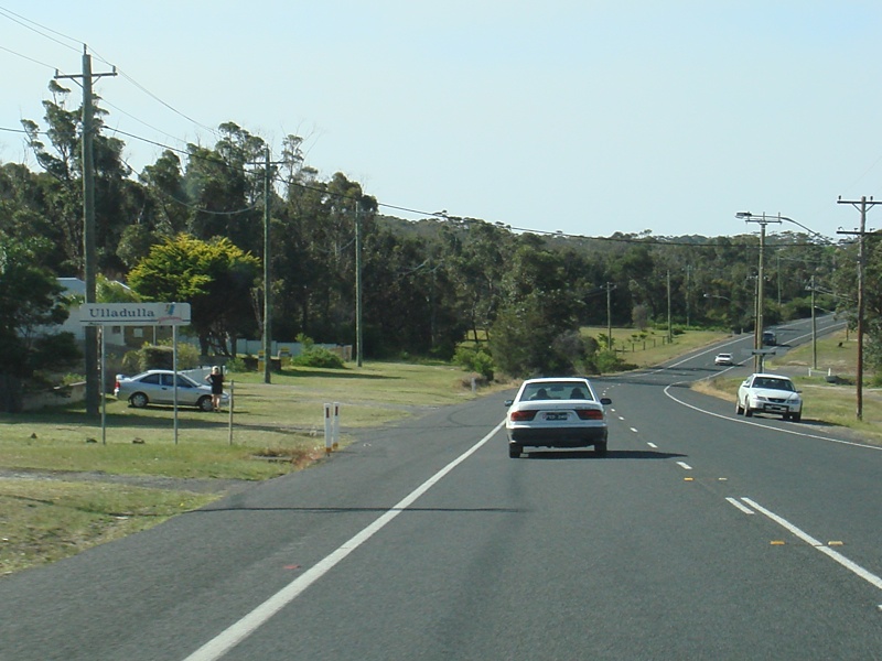 |
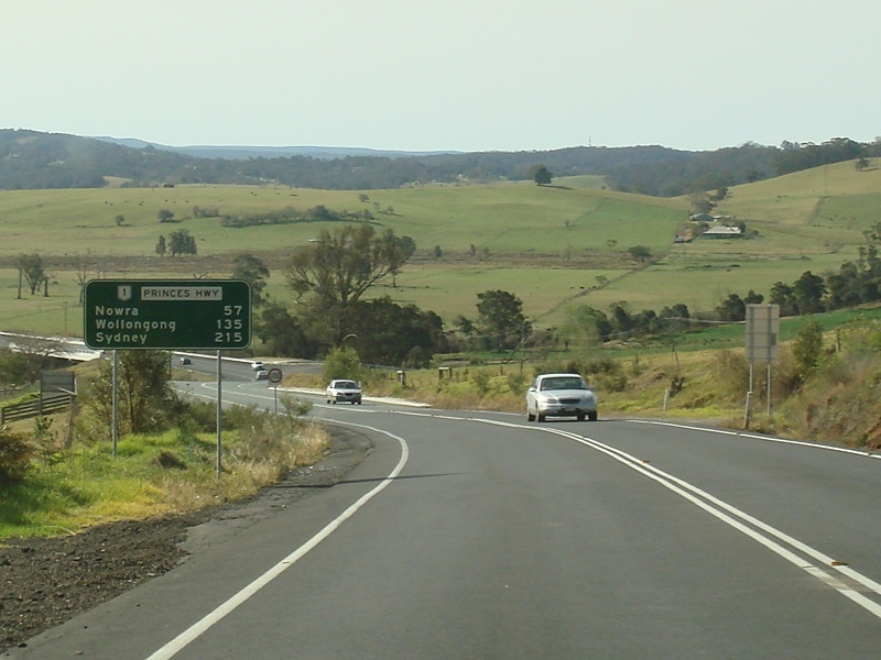
Entering Ulladulla: Princes Hwy (NR1) entering the town of Ulladulla, September 2009. Image © Paul Rands |
 |
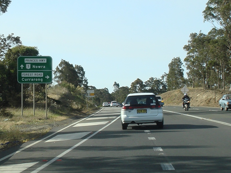
Advance Directional Sign: AD sign at Comberton approachng Forest Rd, November 2010. Image © Paul Rands |
|
 |
Kings Point Road: Corner of Princes Hwy (NR1) and Kings Point Rd at Ulladulla, September 2009. Image © Paul Rands |
 |
Intersection Directional SIgn: ID sign at the Forest Rd junction in Comberton, November 2009. Image © Paul Rands |
|
 |
Ulladulla Town Centre: Princes Hwy (NR1) as it passes through Ulladulla, September 2009. Image © Paul Rands |
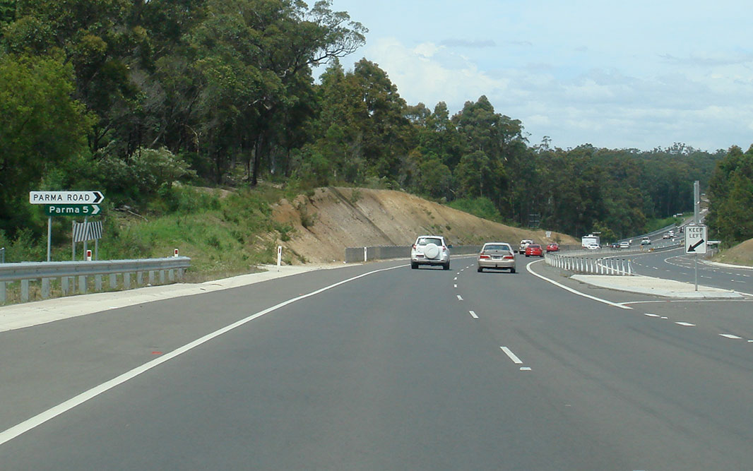 |
Parma Road: Corner of Princes Hwy (NR1) and Parma Rd at Comberton, November 2010. Image © Paul Rands |
|
 |
Supplemental Advance Directional Sign: Supplemental AD sign at Ulladulla, approaching Golf Av, September 2009. Image © Paul Rands |
 |
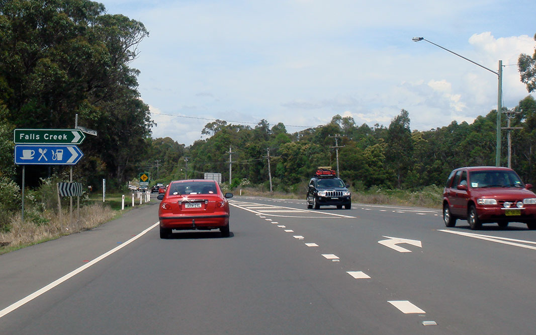
Entering Falls Creek: Princes Hwy (NR1) as it enters the town of Falls Creek, November 2009. Image © Paul Rands |
|
 |
Advance Directional Sign: AD sign at Ulladulla approaching St Vincent St, September 2009. Image © Paul Rands |
 |
Advance Directional Sign: AD sign at Falls Ck approaching Jervis Bay Rd (TD4), November 2010. Image © Paul Rands |
|
 |
Advance Directional Sign: AD sign at Ulladulla, approaching Golf Av, September 2009. Image © Paul Rands |
 |
Advance Directional Sign: AD sign at Falls Ck approaching Jervis Bay Rd (TD4), November 2010. Image © Paul Rands |
|
 |
Interesection Directional Sign: ID sign assembly at the corner of Princes Hwy (NR1) and Golf Av, Ulladulla, September 2009. Image © Paul Rands |
 |
Supplemental Advance Directional Sign: Supplemental AD sign at Falls Ck approaching Jervis Bay Rd (TD4), November 2009. Image © Paul Rands |
|
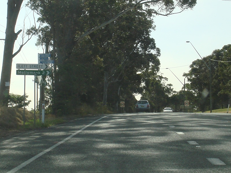 |
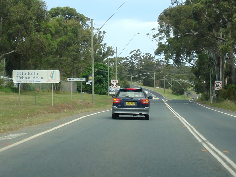
Ilett Stree: Corner of Princes Hwy (NR1) and Ilett St, Ulladulla, September 2009. Image © Paul Rands |
 |
Supplemental Advance Directional Sign: Supplemental AD sign at Falls Ck approaching Jervis Bay Rd (TD4), November 2010. Image © Paul Rands |
|
 |
Entering Milto: Princes Hwy (NR1) as it enters the town of Milton, September 2009. Image © Paul Rands |
 |
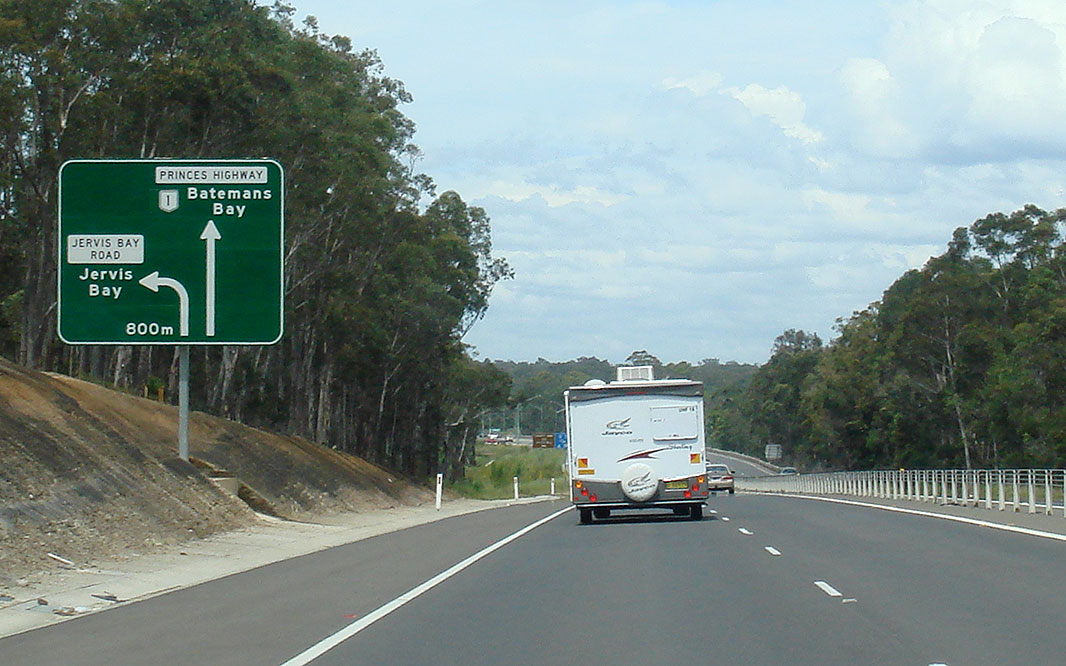
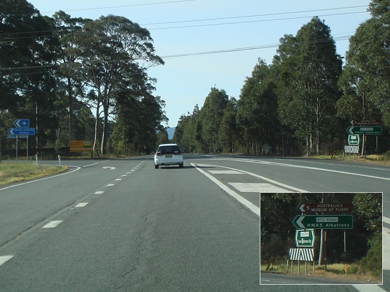
Jervis Bay Road: Corner of Princes Hwy (NR1) and Jervis Bay Rd (TD4) at Falls Creek, November 2009. Image © Paul Rands |
|
 |
Croobyar Road & Matron Porter Road: Corner of Princes Hwy (NR1), Croobyar Rd and Matron Porter Rd, Milton, September 2009. Image © Paul Rands |
 |
Advance Directional Sign: AD sign close to the junction with Jervis Bay Rd (TD4) at Falls Ck, November 2010. Image © Paul Rands |
|
 |
Milton Town Centr: Princes Hwy (NR1) as it passes through the Milton town centre, September 2009. Image © Paul Rands |
 |
Jervis Bay Road: Corner of Princes Hwy (NR1) and Jervis Bay Rd (TD4) at Falls Creek, November 2010. Click here for a photo of this location by Paul Rands from November 2009. Image © Paul Rands |
|
 |
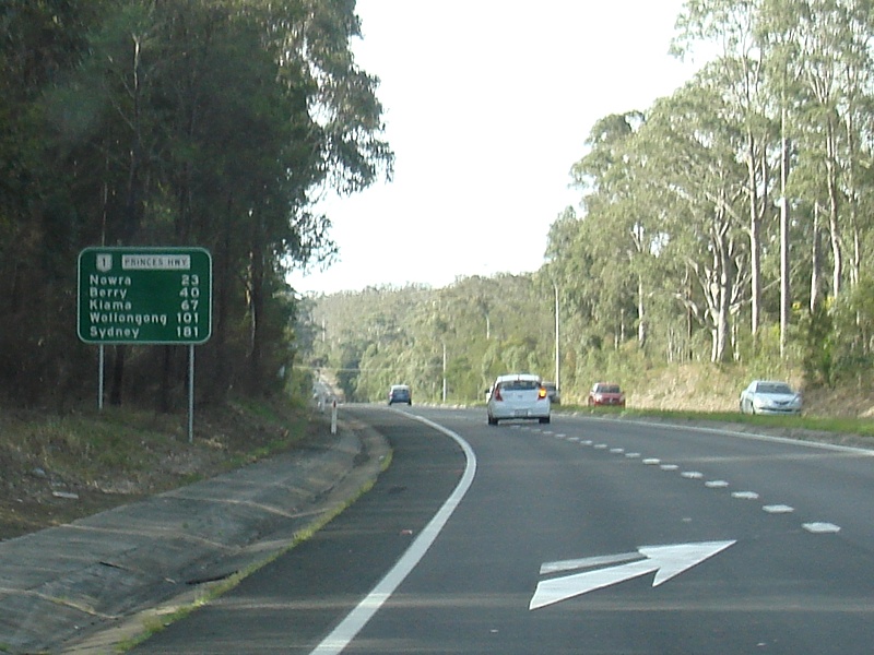
Reassurance Directional Sign: Distance sign at Milton, September 2009. Image © Paul Rands |
 |
Old Princes Highway: Corner of Princes Hwy (NR1) and Old Princes Hwy at Falls Creek, November 2010. Image © Paul Rands |
|
 |
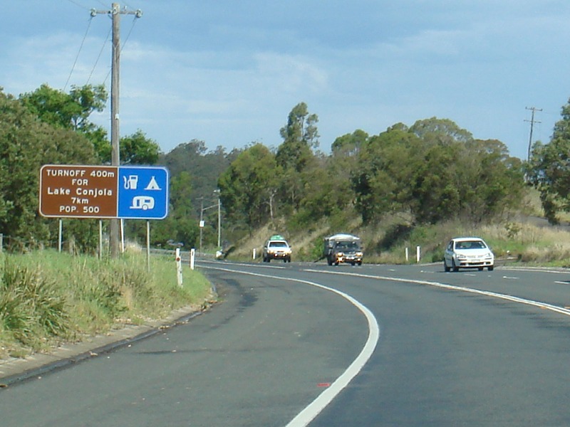
Supplemental Advance Directional Sign: Supplemental AD sign at Yatte Yattah, approaching Lake Conjola Entrance Rd, September 2009. Image © Paul Rands |
 |
Reassurance Directional Sign: Distance sign at Falls Creek, November 2010. Image © Paul Rands |
|
 |
Advance Directional Sign: AD sign at Yatte Yattah, approaching Lake Conjola Entrance Rd, September 2009. Image © Paul Rands |
 |
Advance Directional Sign: AD sign at Tomerong approaching Hawken Rd, November 2010. Click here for a photo of this location by Paul Rands from November 2009. Image © Paul Rands |
|
 |
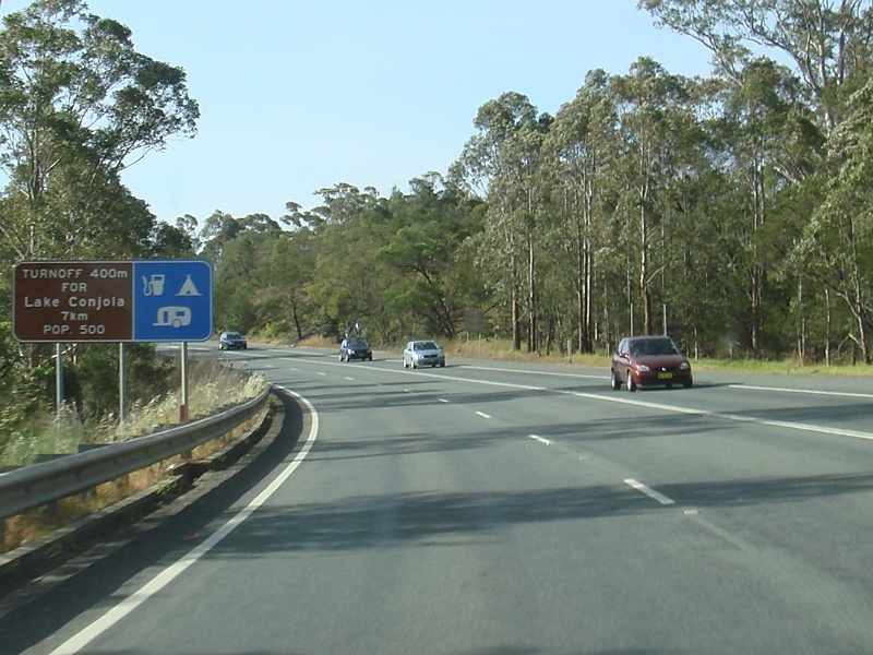
Lake Conjola Entrance Road: Corner of Princes Hwy (NR1) and Lake Conjola Entrance Rd at Yatte Yattah, September 2009. Image © Paul Rands |
 |
Hawken Road: Corner of Princes Hwy (NR1) and Hawken Rd at Tomerong, November 2010. Image © Paul Rands |
|
 |
Reassurance Directional Sign: Distane sign at Yatte Yattah, September 2009. Image © Paul Rands |
 |
Advance Directional Sign: AD sign at Tomerong approaching Turpentine Rd, November 2009. Image © Paul Rands |
|
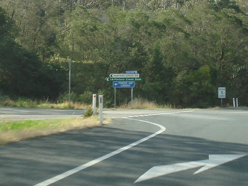 |
Porters Creek Road: Corner of Princes Hwy (NR1) and Porters Ck Rd, Yatte Yattah, September 2009. Image © Paul Rands |
 |
Turpentine Road: Corner of Princes Hwy (NR1) and Turpentine Rd at Tomerong, November 2010. Image © Paul Rands |
|
 |
Advance Directional Sign: AD sign at Conjola, approaching Fishermans Paradise Rd, September 2009. Image © Paul Rands |
 |
Reassurance Directional Sign: Distance sign at Tomerong, November 2010. Image © Paul Rands |
|
 |
Fishermans Paradise Road: Corner of Princes Hwy (NR1) and Fishermans Paradise Rd at Conjola, September 2009. Image © Paul Rands |
 |
Supplemental Advance Directional Sign: Supplemental AD sign at Tomerong approaching Island Point Rd, November 2010. Image © Paul Rands |
|
 |
Conjola Mountain: Princes Hwy (NR1) climbing Conjola Mountain at Conjola, November 2010. Image © Paul Rands |
 |
Advance Directional Sign: AD sign at Tomerong approaching Island Point Rd, November 2010. Image © Paul Rands |
|
 |
Advance Directional Sign: AD sign at Mondayong approaching Bendalong Rd, November 2010. Image © Paul Rands |
 |
Intersection Directional Sign: ID sign at the junction with Island Point Rd at Tomerong, November 2010. Image © Paul Rands |
|
 |
Bendalong Road: Corner of Princes Hwy (NR1) at Bendalong Rd at Mondayong, November 2010. Image © Paul Rands |
 |
Reassurance Directional Sign: Distance sign at Tomerong, November 2010. Image © Paul Rands |
|
 |
Reassurance Directional Sign: Distance sign at Mondayong, September 2009. Image © Paul Rands |
 |
Advance Directional Sign: AD sign at Bewong approaching The Wool Rd, November 2010. Image © Paul Rands |
|
 |
Jerrawangala: Princes Hwy (NR1) entering Jerrawangala, September 2009. Image © Paul Rands |
 |
The Wool Road: Corner of Princes Hwy (NR1) and The Wool Rd at Bewong, November 2010. Image © Paul Rands |
|
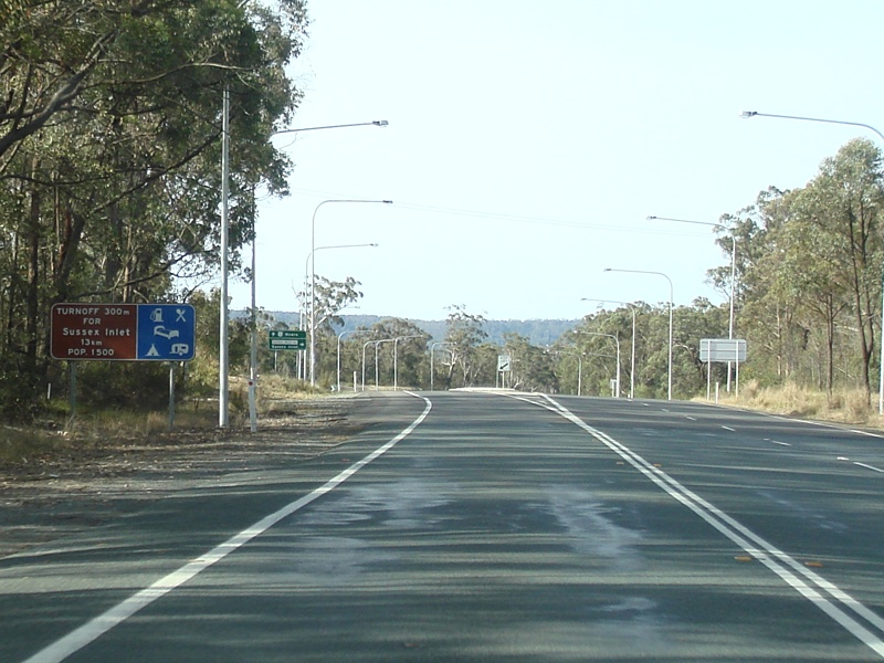 |
Supplemental Advance Directional Sign: Supplemental AD sign at Tullarwalla, approaching Sussex Inlet Rd, September 2009. Image © Paul Rands |
 |
Entering Bewong: Princes Hwy (NR1) as it enters the town of Bewong, November 2010. Image © Paul Rands |
|
 |
Advance Directional Sign: AD sign at Tullarwalla, approaching Sussex Inlet Rd, September 2009. Image © Paul Rands |
 |
Advance Directional Sign: AD sign at Tullarwalla approaching Sussex Inlet Rd, November 2010. Image © Paul Rands |
|
 |
Sussex Inlet Road: Corner of Princes Hwy (NR1) and Sussex Inlet Rd, Tullarwalla, September 2009. Image © Paul Rands |
 |
Sussex Inlet Road: Corner of Princes Hwy (NR1) and Sussex Inlet Rd at Tullarwalla, November 2010. Image © Paul Rands |
|
 |
Reassurance Directional Sign: Distance sign at Tullarwalla, September 2009. Image © Paul Rands |
 |
Reassurance Directional Sign: Distance sign at Tullarwalla, November 2010. Image © Paul Rands |
|
 |
Entering Wandandian: Princes Hwy (NR1) as it enters the town of Wandandian, September 2009. Image © Paul Rands |
 |
Entering Wandandian: Princes Hwy (NR1) as it enters the town of Wandandian, November 2010. Image © Paul Rands |
|
 |
Wandandian: Princes Hwy (NR1) passing through Wandandian, September 2009. Image © Paul Rands |
 |
Wandandian: Princes Hwy (NR1) passing through the town of Wandandian, November 2010. Image © Paul Rands |
|
 |
Entering Bewong: Princes Hwy (NR1) as it enters the town of Bewong, September 2009. Image © Paul Rands |
 |
Entering Jerrawangala: Princes Hwy (NR1) as it enters the town of Jerrawangala, November 2010. Image © Paul Rands |
|
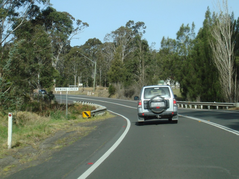 |
Bewong Creek: Princes Hwy (NR1) passing over Bewong Ck at Bewong, September 2009. Image © Paul Rands |
 |
Supplemental Advance Directional Sign: Supplemental AD sign at Mondayong approaching Bendalong Rd, November 2009. Image © Paul Rands |
|
 |
Bewong: Princes Hwy (NR1) as it passes through the town of Bewong, September 2009. Image © Paul Rands |
 |
Advance Directional Sign: AD sign at Mondayong approaching Bendalong Rd, November 2010. Click here for a photo of this location by Paul Rands from November 2009. Image © Paul Rands |
|
 |
Reassurance Directional Sign: Rest area distance sign at Bewong, September 2009. Image © Paul Rands |
 |
Reassurance Directional Sign: Distance sign at Mondayong, November 2010. Click here for a photo of this location by Paul Rands from November 2009. Image © Paul Rands |
|
 |
Advance Directional Sign: AD sign at Bewong, approaching The Wool Rd, September 2009. Image © Paul Rands |
 |
Conjola Mountain: Princes Hwy (NR1) as it descends Conjola Mountain at Conjola, November 2010. Image © Paul Rands |
|
 |
The Wool Road: Corner of Princes Hwy (NR1) and The Wool Rd, Bewong, September 2009. Image © Paul Rands |
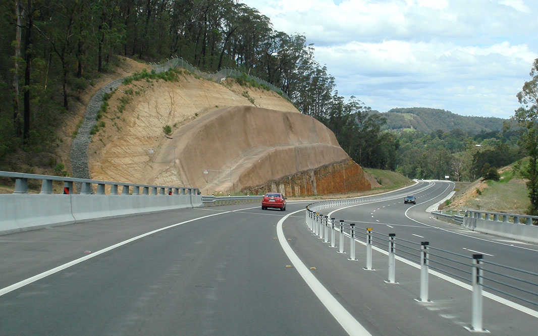 |
Conjola Mountain: Princes Hwy (NR1) as it descends Conjola Mountain at Conjola, November 2010. Image © Paul Rands |
|
 |
Supplemental Advance Directional Sign: Supplemental AD sign at Tomerong, approaching Island Point Rd, September 2009. Image © Paul Rands |
 |
Advance Directional Sign: AD sign at Conjola approaching Fishermans Paradise Rd, November 2009. Image © Paul Rands |
|
 |
Advance Directional Sign: AD sign at Tomerong, approaching Island Point Rd, September 2009. Image © Paul Rands |
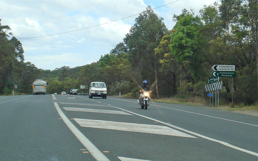 |
Fishermans Paradise Road: Corner of Princes Hwy (NR1) and Fishermans Paradise Rd, November 2010. Image © Paul Rands |
|
 |
Supplemental Advance Directional Sign: Supplemental AD sign at Tomerong, approaching Island Point Rd, September 2009. Image © Paul Rands |
 |
Porters Creek Road: Corner of Princes Hwy (NR1) and Porters Ck Rd at Yatte Yattah, November 2009. Image © Paul Rands |
|
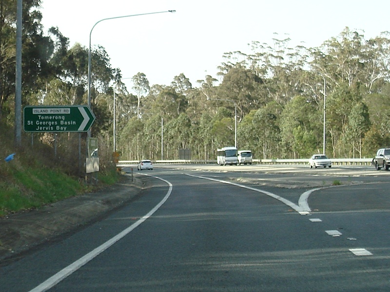 |
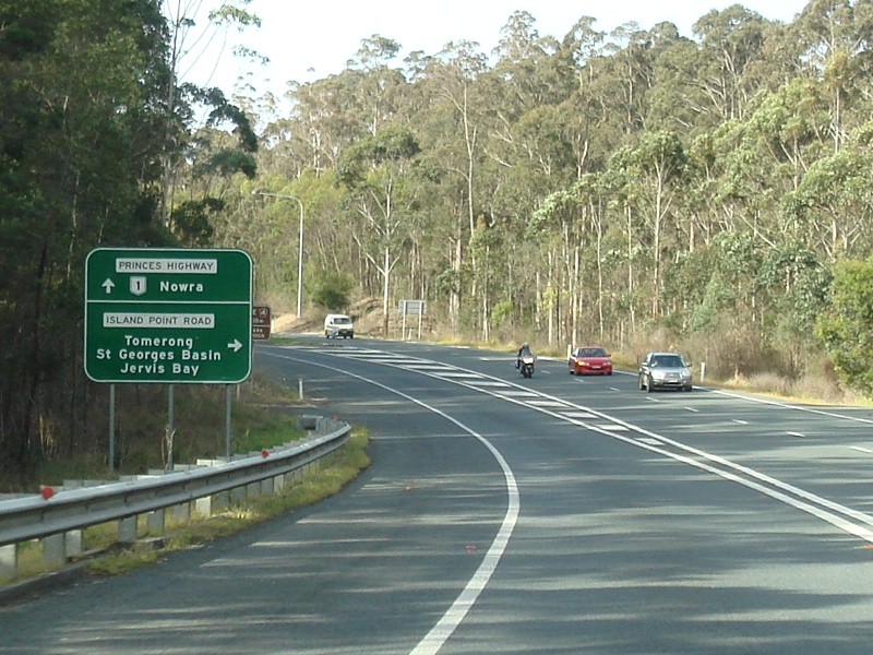
Island Point Road: Corner of Princes Hwy (NR1) and Island Point Rd, Tomerong, September 2009. Image © Paul Rands |
 |
Entering Yatte Yattah: Princes Hwy (NR1) as it enters the town of Yatta Yattah, November 2009. Image © Paul Rands |
|
 |
"Distance Sign: Reassurance directional sign at Tomerong, September 2009. Image © Paul Rands |
 |
Supplemental Advance Directional Sign: Supplemental AD sign at Yatte Yattah approaching Lake Conjola Entrance Rd, November 2009. |
|
 |
Advance Directional Sign: AD sign approaching Turpentine Rd at Tomerong, September 2009. Image © Paul Rands |
 |
Advance Directional Sign: AD sign at Yatte Yattah approaching Lake Conjola Entrance Rd, November 2009. Image © Paul Rands |
|
 |
Turpentine Road: Corner of Princes Hwy (NR1) and Turpentine Rd, Tomerong, September 2009. Image © Paul Rands |
 |
Lake Conjola Entrance Road: Corner of Princes Hwy (NR1) and Lake Conjola Entrance Rd at Yatte Yattah, November 2010. Image © Paul Rands |
|
 |
Reassurance Directional Sign: Distance sign at Tomerong, September 2009. Image © Paul Rands |
 |
Reassurance Directional Sign: Distance sign at Yatte Yattah, November 2010. Image © Paul Rands |
|
 |
Hawken Road: Corner of Princes Hwy (NR1) and Hawken Rd, Tomerong, September 2009. Image © Paul Rands |
 |
Little Forest Road: Corner of Princes Hwy (NR1) and Little Forest Rd at Yatte Yattah, November 2010. Image © Paul Rands |
|
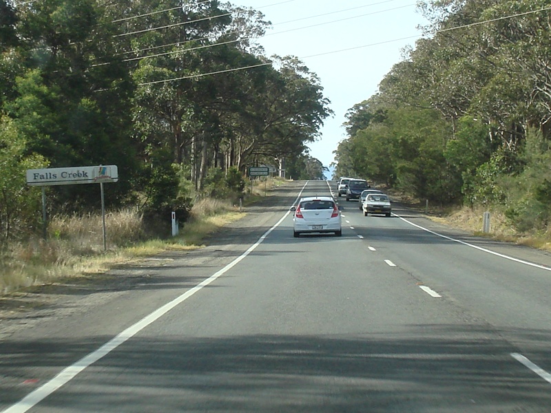 |
Falls Creek: Princes Hwy (NR1) entering Falls Ck, September 2009. Image © Paul Rands |
 |
Milton: Princes Hwy (NR1) winding its way into the town of Milton, November 2009. Image © Paul Rands |
|
 |
Supplemental Advance Directional Sign: Supplemenal AD sign at Falls Ck approaching Jervis Bay Rd (TD4, September 2009. Image © Paul Rands |
 |
Entering Milton: Princes Hwy (NR1) as it enters the town of Milton, November 2009. Image © Paul Rands |
|
 |
Advance Directional Sign: AD sign approaching Old Princes Hwy and Jervis Bay Rd (TD4) at Falls Creek, September 2009. Image © Paul Rands |
 |
Milton: Princes Hwy (NR1) in the town of Milton, November 2009. Image © Paul Rands |
|
 |
Old Princes Highwa: Princes Hwy (NR1) at the junction with Old Princes Hwy, Falls Ck, September 2009. Image © Paul Rands |
 |
Advance Directional Sign: AD sign approaching Croobyar Rd and Matron Porter Dr at Milton, November 2009. Image © Paul Rands |
|
 |
Jervis Bay Road: Corner of Princes Hwy (NR1) at the corner Jervis Bay Rd (TD4) at Falls Ck, September 2009. Image © Paul Rands |
 |
Croobyar Road & Matron Porter Road: Princes Hwy (NR1) at the junction with Croobyar Rd & Matron Porter Rd in Milton, November 2010. Image © Paul Rands |
|
 |
Reassurance Directional Sign: Distance sign at Falls Creek, September 2009. Image © Paul Rands |
 |
Croobyar Road & Matron Porter Road: Princes Hwy (NR1) at the junction with Croobyar Rd & Matron Porter Rd in Milton, November 2010. Image © Paul Rands |
|
 |
Advance Directional Sign: AD sign at Falls Creek approaching Parma Rd and Comberton Grange Rd, September 2009. Image © Paul Rands |
 |
Default Speed Limit Sign: Old default speed limit sign at Ulladulla, November 2009. These signs were introduced when the urban default speed limit was reduced from 60 km/h to 50 km/h in July 2001. Image © Paul Rands |
|
 |
Advance Directional Sign: AD sign at Comberton approaching Forest Rd, September 2009. Image © Paul Rands |
 |
Entering Ulladulla: Princes Hwy (NR1) as it enters the town of Ulladulla, November 2009. Image © Paul Rands |
|
 |
Forest Road: Corner of Princes Hwy (NR1) and Forest Rd at Comberton Rd, September 2009. Image © Paul Rands |
 |
Illet Street: Corner of Princes Hwy (NR1) and Illet St at Ulladulla, November 2010. Image © Paul Rands |
|
 |
BTU Road: Corner of Princes Hwy (NR1) at the junction with BTU Rd in Comberton, September 2009. Image © Paul Rands |
 |
Entering Ulladulla: Princes Hwy (NR1) as it enters the town of Ulladulla, November 2010. Image © Paul Rands |
|
 |
Advance Directional Sign: AD sign at Ulladulla approaching Golf Av, November 2009. Image © Paul Rands |
|||
 |
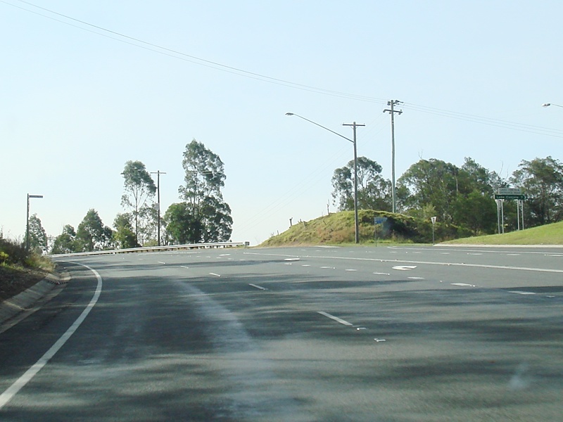
Golf Avenue: Princes Hwy (NR1) at the roundabout with Golf Av, Ulladulla, November 2010. Image © Paul Rands |
|||
 |
Advance Directional Sign: AD sign at Ulladulla approaching St Vincent St, November 2009. Image © Paul Rands |
|||
 |
Ulladulla: Princes Hwy (NR1) as it passes through Ulladulla, November 2009. Image © Paul Rands |
|||
 |
Ulladulla: Princes Hwy (NR1) as it passes through Ulladulla near Wason St, November 2009. Image © Paul Rands |
|||
 |
Kings Point Road: Corner of Princes Hwy (NR1) and Kings Point Rd, Ulladulla, November 2010. Image © Paul Rands |
|||
| Click here for the continuation of National Route 1 between Ulladulla and Batemans Bay Click here for the continuation of National Route 1 between Gerringong and South Nowra |
||||
1 Roads and Traffic Authority, Schedule of Classified Roads and State & Regional Roads, 31 January 2011
2 Main Roads Board, Annual Report, 1929-30
3 Department of Main Roads, Annual Report, 1932-33
4 Department of Main Roads, Annual Report, 1933-34
5 Department of Main Roads, Annual Report, 1934-35
6 Department of Main Roads, Annual Report, 1936-37
7 Department of Main Roads, Annual Report, 1937-38
8 Department of Main Roads, Annual Report, 1947-48
9 Department of Main Roads, Annual Report, 1957-58
10 Department of Main Roads, Annual Report, 1958-59
11 Department of Main Roads, Annual Report, 1963-64
12 Department of Main Roads, Annual Report, 1976-77
13 Tomerong Local History, A Short History of Tomerong
14 Roads and Maritime Services, Projects, Princes Highway Upgrade, Completed Projects, Conjola Mountain
15 Roads and Maritime Services, Projects, Princes Highway Upgrade, Completed Projects, Forest Road to Jervis Bay Road
Last updated: 13-Aug-2020 16:02
This site © Paul Rands. All rights reserved. Some portions © (copyright) by their respective and credited owners. Permission must be obtained before using any images from this site. For details, please email by clicking here.