|
|
|
|
|
 |
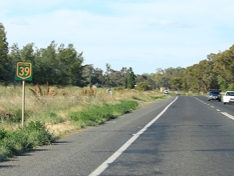
Newell Highway (National Highway 39) - Forbes to Dubbo (Decommissioned) |
Statistics:
Route Numbering:

General Information:
The Newell Highway is the longest highway in NSW, stretching from the Victorian border at Tocumwal to the Queensland border. It's the economic backbone for freight and livestock transporters, tourism operators, caravanners and holiday makers, emergency services, government, media and business owners. 2
The majority of the route is undivided roadway, with various overtaking sections where required.
The Newell Highway is named after HH Newell. He was the first commissioner for Main Roads in New South Wales. He passed away in 1941. 3 Prior to his appointment to the newly formed Main Roads Board on March 9, 1925, he was the District Engineer at the Wollongong branch of the Department of Public Works. 4
History:
Click here for the former alignment between Forbes and Dubbo
| Forbes to Dubbo | Dubbo to Forbes | |||
| Preview: | Description: | Preview: | Description: | |
 |
Back Yamma Road: Newell Hwy (NH39) at Daroobalgie at the junction with Back Yamma Rd, November 2010. Image © Rob Tilley |
 |
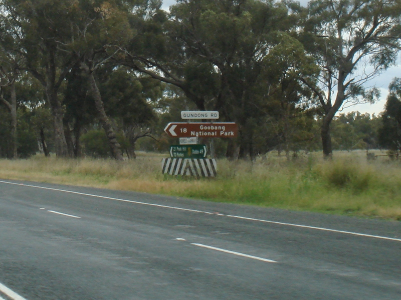
Advance Directional Sign: AD sign approaching Gundong Rd, Tomingley, October 2011. Image © Paul Rands |
|
 |
Trailblazer: NH39 trailblazer at Tichborne, November 2010. Image © Rob Tilley |
 |
Intersection Directional Sign: ID sign assembly at Gundong Rd, Tomingley, October 2011. Image © Paul Rands |
|
 |
Services Sign: Services sign near Grey Dove Ln for the Billabong Creek Rest Area at Tichborne, November 2010. Image © Rob Tilley |
 |
Services Sign: Services sign encouraging motorists to stop in Tomingley, October 2011. Image © Paul Rands |
|
 |
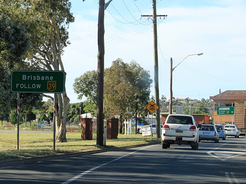
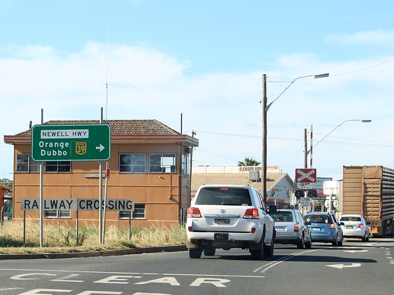
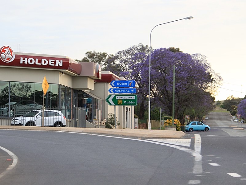
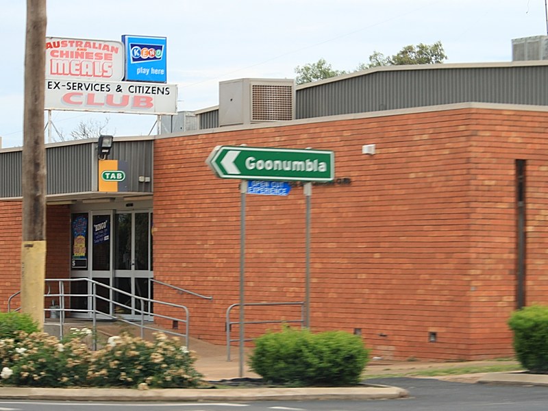
Entering Parkes: Newell Hwy (NH39) as it enters the town of Parkes, November 2010. Image © Rob Tilley |
 |
Safe-T-Cam Sign: Sign for the Safe-T-Cam heavy vehicle monitoring system, Tomingley, October 2011. Image © Paul Rands |
|
 |
Supplemental Advance Directional Sign: Supplemental AD sign in Parkes used to help motorists to negotiate a fairly complicated urban area, November 2010. Image © Rob Tilley |
 |
Advance directional Sign: AD sign at Tomingley approaching Tomingley-Narromine Rd, May 2005. Image © Rob Tilley |
|
 |
Advance Directional Sign: AD sign approaching Hartigan Av in Parkes, November 2010. Image © Rob Tilley |
 |
Entering Tomingley: Newell Hwy (NH39) as it enters the town of Tomingley, October 2011. Image © Paul Rands |
|
 |
Hartigan Avenue: Intersection directional signs at the junction with Hartigan Av in Parkes, October 2011. NH39 turns right at this junction. Image © Paul Rands |
 |
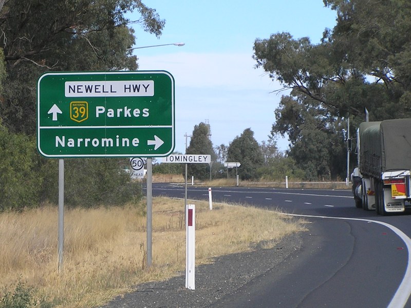
Tomingley-Narromine Road: Newell Hwy (NH39) at Tomingley-Narromine Rd, Tomingley, October 2011. Image © Paul Rands |
|
 |
Welcome Street: Newel Hwy (NH39) at the junction with Welcome St in Parks, October 2011. NH39 turns left at this junction. Image © Paul Rands |
 |
Tomingley: Newell Hwy (NH39) passing through Tomingley, October 2011. Image © Paul Rands |
|
 |
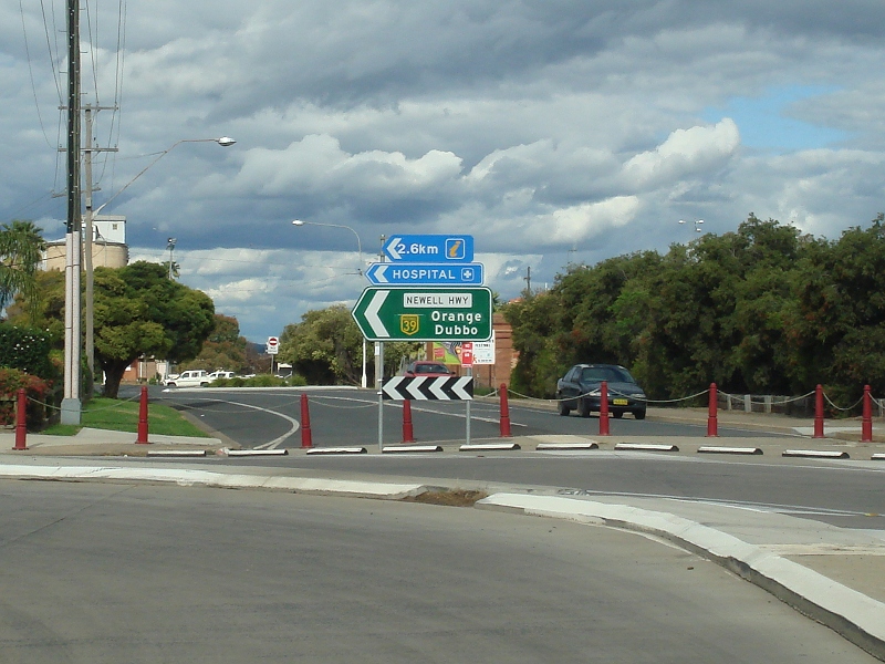
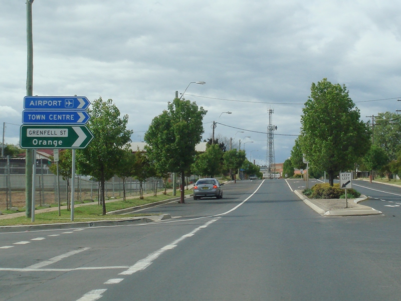
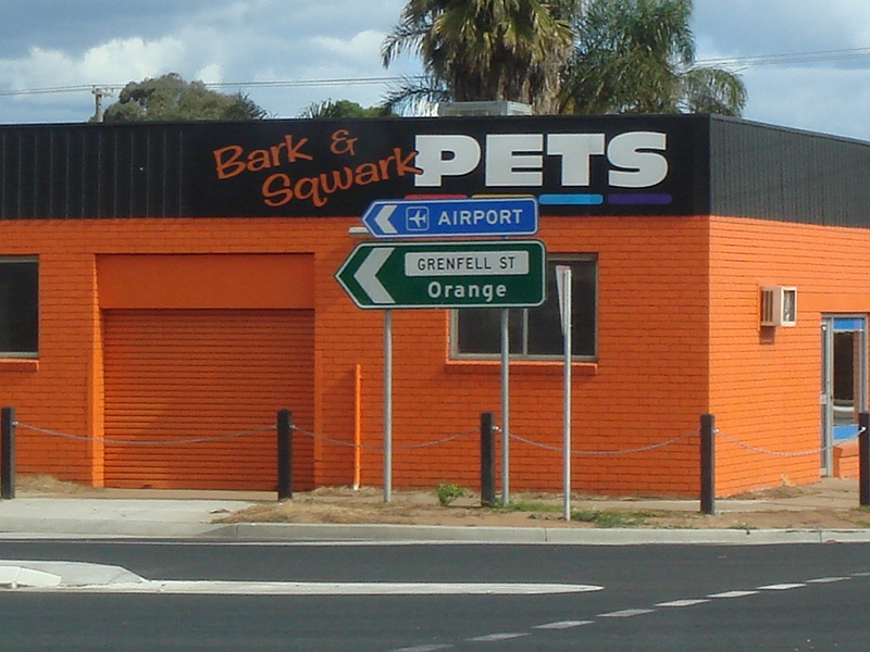
Advance Directional Sign: AD sign approaching Grenfell St in Parkes, October 2011. Image © Paul Rands |
 |
Distance Sign: RD sign at Tomingley, October 2011. Click here for a photo from May 2005 by Rob Tilley of the previous sign. Image © Paul Rands |
|
 |
Intersection Directional Sign: ID sign at the junction with Grenfell St in Parkes, November 2010. Image © Rob Tilley |
 |
Safe-T-Cam Sign: Sign for the Safe-T-Cam heavy vehicle monitoring system, Tomingley, October 2011. Image © Paul Rands |
|
 |
Intersection Directional Sign: ID sign at the junction with Grenfell St in Parkes, October 2011. Image © Paul Rands |
 |
Safe-T-Cam: The Safe-T-Cam heavy vehicle monitoring system gantry at Tomingley, October 2011. Image © Paul Rands |
|
 |
Advance Directional Sign: AD sign approaching Dalton St in Parkes,October 2011. Image © Paul Rands |
 |
Rest Area Distance Sign: Distance sign for rest areas, Tomingley, October 2011. Image © Paul Rands |
|
 |
Dalton Street: Newell Hwy (NH39) at the junction with Dalton St in Parkes, November 2010. Image © Rob Tilley |
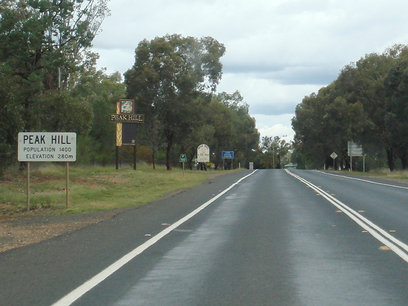 |
Entering Peak Hill: Newell Hwy (NH39) entering the town of Peak Hill, October 2011. Image © Paul Rands |
|
 |
Mitchell Street: Intersection directional sign at the junction with Mitchell St in Parkes, November 2010. NH39 turns right at this junction. Image © Rob Tilley |
 |
Advance Directional Sign: AD sign at Peak Hill approaching Peak Hill Rd, May 2005. Image © Rob Tilley |
|
 |
Mitchell Street & Clarinda Street: Newell Hwy (NH39) at the junction with Mitchell St & Clarinda St in Parkes, November 2010. NH39 turns left at this junction. Image © Rob Tilley |
 |
Peak Hill Road: Newell Hwy (NH39) at Peak Hill at the junction with Peak Hill Rd, October 2011. Image © Paul Rands |
|
 |
Distance Sign: RD sign as the Newell Hwy (NH39) leaves Parkes, November 2010. Click here for a photo from April 2005 of the old version of this sign. Image © Rob Tilley |
 |
Advance Directional Sign: AD sign approaching Mingello St, Peak Hill, October 2011. Image © Paul Rands |
|
 |
Cobleys Lane: Intersection directional sign assembly at the junction with Cobleys Ln at Parkes, November 2010. Image © Rob Tilley |
 |
Mingello Street: Newell Hwy (NH39) at Mingello St in Peak Hill, October 2011. Image © Paul Rands |
|
 |
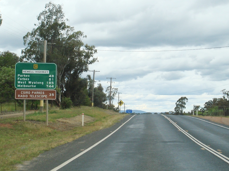
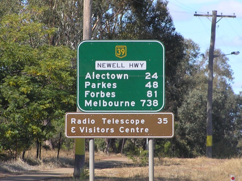
Advance Directional Sign: AD sign approaching Telescope Rd at Parkes, November 2010. Image © Rob Tilley |
 |
Mingello Street: Newell Hwy (NH39) at Mingello St in Peak Hill, October 2011. Image © Paul Rands |
|
 |
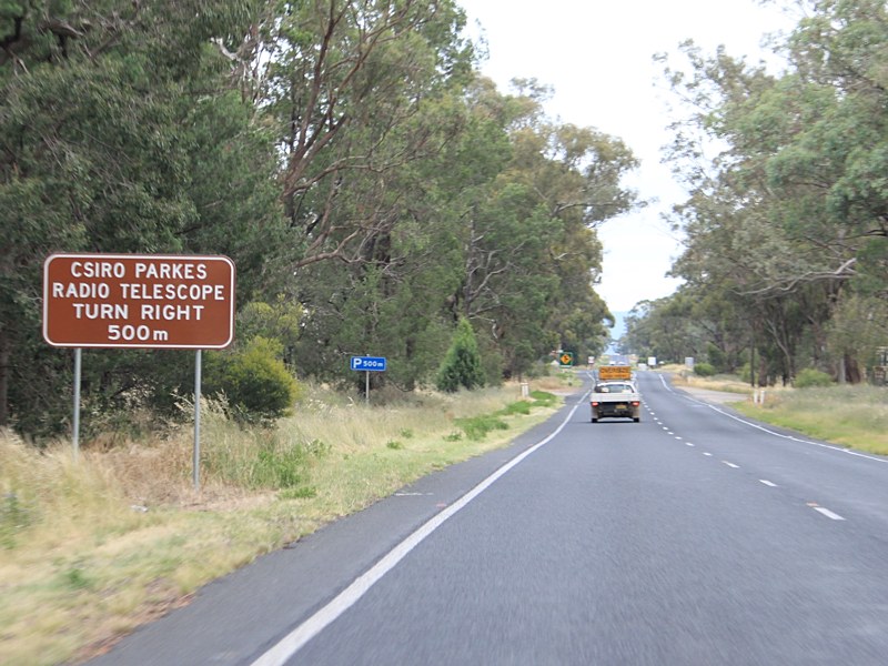
Telescope Road: Newell Hwy (NH39) at the junction with Telescope Rd at Parkes, November 2010. Image © Rob Tilley |
 |
Distance Sign: RD sign at Tomingley, October 2011. Click here for a photo from May 2005 by Rob Tilley of the previous sign Image © Paul Rands |
|
 |
Advance Directional Sign: AD sign approaching Baldry-Peak Hill Rd at Trewilga, November 2010. Image © Rob Tilley |
 |
Entering Trewilga: Newell Hwy (NH39) entering the village of Trewilga, October 2011. Image © Paul Rands |
|
 |
Baldry-Peak Hill Road: Intersection directional sign at the Baldry-Peak Hill Rd junction at Trewilga, November 2010. Image © Rob Tilley |
 |
Advance Directional Sign: AD sign approaching Baldry-Peak Hill Rd at Trewilga, October 2011. Image © Paul Rands |
|
 |
Distance Sign: RD sign at Trewilga after the Baldry-Peak Hill Rd junction, November 2010. Image © Rob Tilley |
 |
Baldry-Peak Hill Road: Newell Hwy (NH39) at Baldry-Peak Hill Rd in Trewilga, October 2011. Image © Paul Rands |
|
 |
Advance Directional Sign: AD sign in Peak Hill approaching Mingelo St, November 2010. Image © Rob Tilley |
 |
Alectown: Newell Hwy (NH39) entering the town of Alectown, October 2011. Image © Paul Rands |
|
 |
Mingelo Street: Newell Hwy (NH39) at the junction with Mingelo St in Peak Hill, November 2010. Image © Rob Tilley |
 |
Mamre Road: ID sign assembly at Mamre Rd, Alectown, October 2011. Image © Paul Rands |
|
 |
Mingelo Street: Newell Hwy (NH39) at the junction with Mingelo St in Peak Hill, November 2010. Image © Rob Tilley |
 |
Alectown: Newell Hwy (NH39) passing through Alectown, October 2011. Image © Paul Rands |
|
 |
Advance Directional Sign: AD sign at Peak Hill approaching Peak Hill Rd, April 2005. Image © Rob Tilley |
 |
Advance Directional Sign: AD sign approaching Telescope Rd, Parkes, October 2011. Image © Paul Rands |
|
 |
Advance directional Sign: AD sign at Tomingley approaching Tomingley-Narromine Rd, November 2010. Image © Rob Tilley |
 |
Trailblazer: NH39 trailblazer at Parkes, October 2011. Image © Paul Rands |
|
 |
Distance Sign: RD sign at Tomingley after Tomingley-Narromine Rd, November 2010. Image © Rob Tilley |
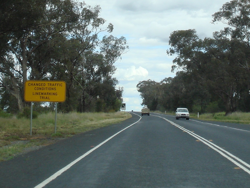 |
Line Marking Trial: Sign for trial line markings along Newell Hwy (NH39) at Parkes, October 2011. Image © Paul Rands |
|
 |
Line Marking Trial: Sign for trial line markings along Newell Hwy (NH39) at Parkes, October 2011. Image © Paul Rands |
|||
 |
Line Marking Trial: Sign for trial line markings along Newell Hwy (NH39) at Parkes, October 2011. Image © Paul Rands |
|||
 |
Line Marking Trial: Sign for trial line markings along Newell Hwy (NH39) at Parkes, October 2011. Image © Paul Rands |
|||
 |
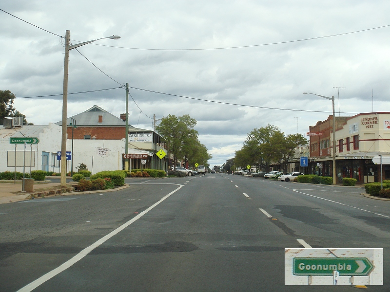
Entering Parkes: Newell Hwy (NH39) entering the town of Parkes, October 2011. Image © Paul Rands |
|||
 |
Bogan Road: Newell Hwy (NH39) at Bogan Rd, Parkes, October 2011. Image © Paul Rands |
|||
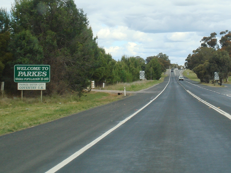 |
Welcome Sign: Council welcome sign at Parkes, October 2011. Image © Paul Rands |
|||
 |
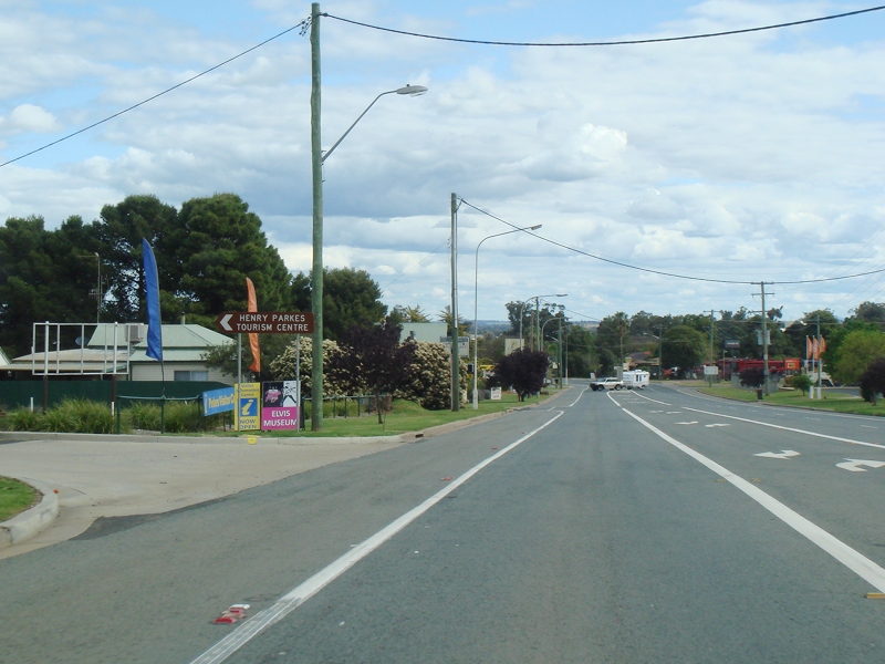
Advance Directional Sign: AD sign approaching the tourist information centre, Parkes, October 2011. Image © Paul Rands |
|||
 |
Intersection Directional Sign: ID sign at the entrance to the tourist information centre, Parkes, October 2011. Image © Paul Rands |
|||
 |
Supplemental Advance Directional Sign: Supplemental AD sign to guide motorists through the complex road layout in Parkes, October 2011. Image © Paul Rands |
|||
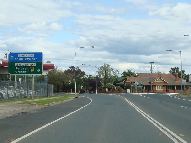 |
Mitchell Street & Clarinda Street: Newell Hwy (NH39) at the junction with Mitchell St & Clarinda St in Parkes, October 2011. NH39 turns right at this junction. Click here for a photo from May 2005 by Rob Tilley of the previous sign Image © Paul Rands |
|||
 |
Intersection Directional Sign: ID sign at the junction with Mitchell St and Clarinda St in Parkes, October 2011. Image © Paul Rands |
|||
 |
Intersection Directional Sign: ID sign at the junction with Mitchell St in Parkes, October 2011. Image © Paul Rands |
|||
 |
Advance Directional Sign: AD sign approaching Dalton St (former SR90) at Parkes, October 2011. Image © Paul Rands |
|||
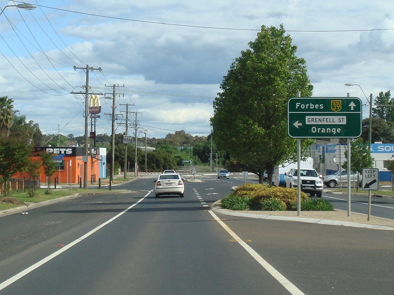 |
Advance Directional Sign: AD sign approaching Grenfell St, Parkes, October 2011. Image © Paul Rands |
|||
 |
Grenfell Street: ID sign at Grenfell St in Parkes, October 2011. Image © Paul Rands |
|||
 |
intersection Directional Sign: ID sign at Welcome St, Parkes, October 2011. Image © Paul Rands |
|||
 |
Advance Directional Sign: AD sign approaching Hartigan Av in Parkes, October 2011. Click here for a photo from May 2005 by Rob Tilley of the previous sign Image © Paul Rands |
|||
 |
Hartigan Avenue: Intersection directional signs at the junction with Hartigan Av in Parkes, October 2011. Click here for a photo from May 2005 by Rob Tilley of the previous sign. NH39 turns left at this junction. Image © Paul Rands |
|||
 |
Distance Sign: RD sign as the Newell Hwy (NH39) leaves Parkes, October 2011. Click here for a photo from May 2005 by Rob Tilley of the previous sign Image © Paul Rands |
|||
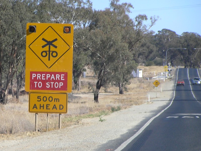 |
Railway Line: Flashing warning sign approaching the railway on the southern outskirts of Parkes, May 2005. Image © Rob Tilley |
|||
| Click here for the continuation of National Highway 39 between Dubbo and Gilgandra Click here for the continuation of National Highway 39 between Wyalong and Forbes |
||||
1 Roads and Traffic Authority, Schedule of Classified Roads and State & Regional Roads, 31 January 2011
2 Roads and Traffic Authority, Road Projects, Western Region, Newell Highway
3 Department of Main Roads, Main Roads of New South Wales brochure
4 Department of Main Roads, The Roadmakers, A History of Main Roads in New South Wales, ISBN0 7240 0439 4
5 Roads & Traffic Authority, Rules & Regulations, Newell Highway Reduced Speed Limit
Last updated: 17-Dec-2019 0:55
This site © Paul Rands. All rights reserved. Some portions © (copyright) by their respective and credited owners. Permission must be obtained before using any images from this site. For details, please email by clicking here.