|
|
|
|
|

|
Hume Highway (National Highway 31) - Yass To Coolac (Decommissioned) |
Statistics:
Route Numbering:

General Information:
The Hume Highway is one of Australia's most vital highway links. Providing access between Sydney and Melbourne, Australia's 2 largest cities. The National Highway section of the Hume Highway consists of almost 100% dual carriageway road, either rural expressway or motorway standard. Works to duplicate small sections of highway that are not dual carriageway are well underway.
In NSW, the highway in one form or another started life as the Great South Road, linking Sydney with the southern highlands and eventually beyond. The highway was named in 1928 after Hamilton Hume (1797-1873), a famous explorer in the early 19th century who, in 1824, in conjunction with William Hovell first found an overland route between Sydney and the infant colonial outpost of Port Phillip, the original name of Melbourne.
NH31 is the main freight and commuter route between Sydney and Melbourne and has gone through a massive amount of transformation over the past 30 or so years, with many towns being bypassed along its route as well and gradual upgrades to motorway standards. Since the 1960s, the road has either been duplicated, where alignments allow for it, and also large deviations have also been part of the upgrade process.
The route around the Mittagong area averages around 16,000 vehicles every day, in other sections the number drops off a little or closer to Sydney increases.1
The route forms the Remembrance Driveway which honours war veterans, click here for the Remembrance Driveway web site.
History:
Click here for construction photos of the Coolac bypass
| Preview: | Description: |
 |
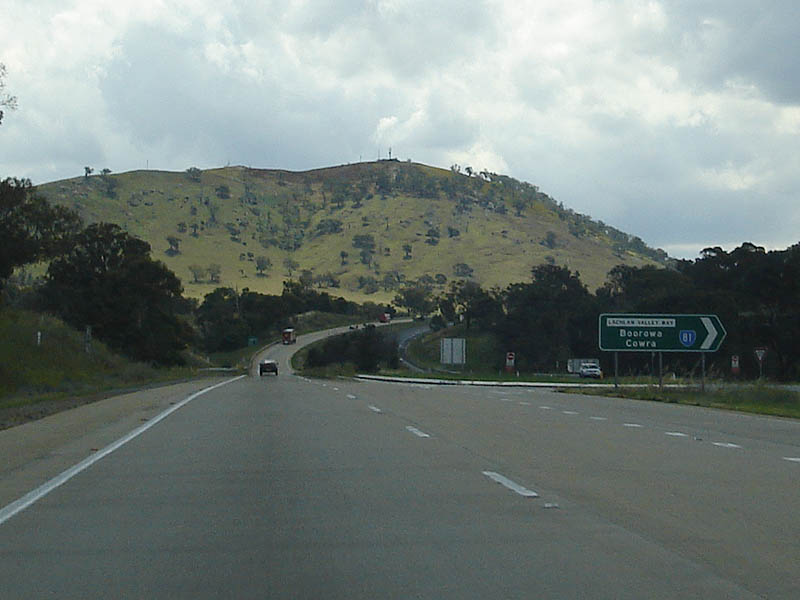
Advance Directional Sign: Westbound at Bowning approaching Lachlan Valley Way (SR81). SR81 connects the Hume Hwy with Boorowa, Cowra, Canowindra and Molong. The route also provides access to the Mitchell Hwy (NR32), The Escort Way, Mid Western Hwy (NR24) and Olympic Hwy (NR41), August 2011. Click here for a photo of this location by Rob Tilley from November 2010. Image © Paul Rands |
 |
Lachlan Valley Way intersection: Westbound approaching the intersection with Lachlan Valley Way at Bowning, November 2010. Click here for a photo of this location from December 2007. Image © Rob Tilley |
 |
Lachlan Valley Way Junction: Westbound through the intersection with Lachlan Valley Way at Bowning, November 2010. Click here for a photo of this location from December 2007. Image © Rob Tilley |
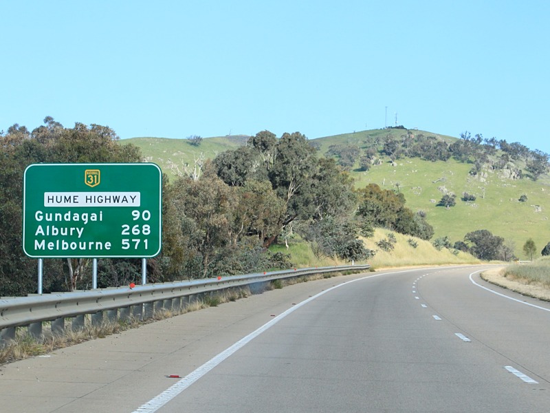 |
Distance Sign: RD sign as you head westbound at Bowning, November 2010. Click here for a photo of this location from December 2007. Image © Rob Tilley |
 |
Temporary Signs: Signs indicating the the turnoff to Burley Griffin Way has been changed, Bowning, November 2007. Image © Tim Cole |
 |
Services Sign: Westboound approaching Bowning. December 2007. Image © Paul Rands |
 |
AD Sign: Westbound alphanumeric advance directional sign approaching Bowning Road at Bowning, November 2010. Image © Rob Tilley |
 |
Bowning Rd Intersection: Looking through the intersection with Bowning Road at Bowning, November 2010. Image © Rob Tilley |
 |
Bowning Rd Intersection: Looking through the intersection with Bowning Road at Bowning, November 2010. Image © Rob Tilley |
 |
Intersection Directional Sign: Sign facing Bowning Road traffic at Bowning, November 2010. Click here for a photo of this location from December 2007. Image © Rob Tilley |
 |
Distance Sign: Westbound RD sign after the Bowning Road intersection at Bowning, November 2010. Image © Rob Tilley |
 |
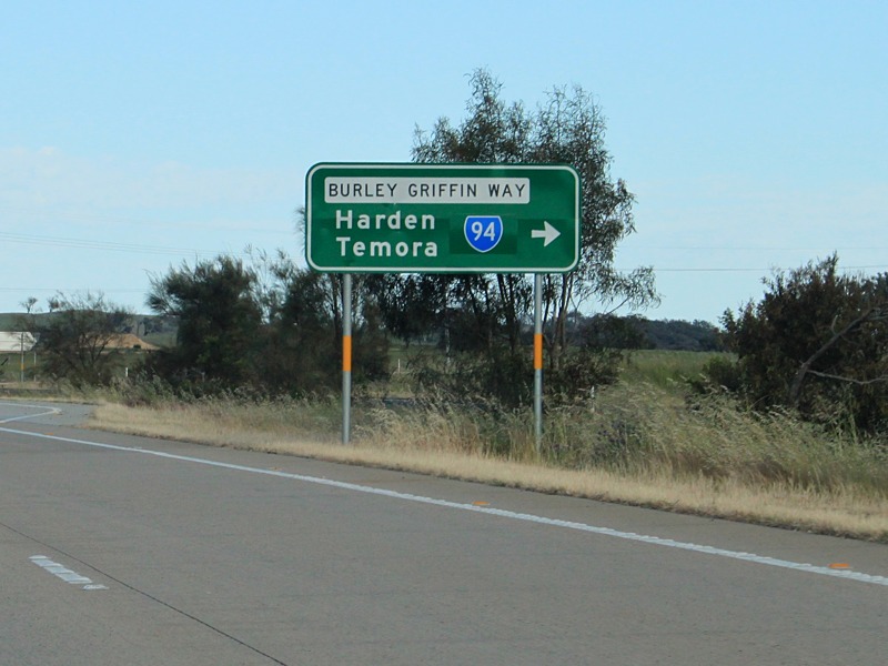
Supplementary AD Sign: Westbound sign approaching Burley Griffin Way at Bowning. The route is named after Walter Burley Griffin, the original designer of Canberra and the country town of Griffith. November 2010. Image © Rob Tilley |
 |
Diagrammatic AD Sign: Westbound advance directional sign approaching Burley Griffin Way (SR94) at Bowning, November 2010. Image © Rob Tilley |
 |
Supplemental Advance Directional Sign: Supplemental AD sign for the Burley Griffin Way intersection, at Bowning. November 2010. Image © Rob Tilley |
 |
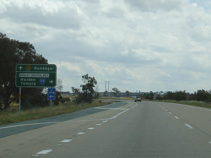
Alphanumeric Advance Directional Sign: Alphanumeric AD sign approaching Burley Griffin Way at Bowning, westbound, November 2010. SR94 connects the Hume Hwy with Binalong, Harden, Temora, Ardlethan, and Griffith. It also connects with Olympic Hwy (NR41), Newell Hwy (NH39), Goldfields Way (SR85), and Kidman Way (SR87). Click here for a photo of this location from December 2007. Image © Rob Tilley |
 |
Burley Griffin Way Intersection: Heading westbound at Bowning as you approach Burley Griffin Way, November 2010. Image © Rob Tilley |
 |
Burley Griffen Way Junction: The intersection with Burley Griffin Way at Bowning, November 2010. Image © Rob Tilley |
 |
Distance Sign: RD sign located after the Burley Griffen Way intersection at Bowning, November 2010. Image © Rob Tilley |
 |
Conroys Gap: Heading over Conroys Gap at Bookham, November 2010. Image © Rob Tilley |
 |
Tourism / Services Sign: Heading southwest at Bookham approaching Burrinjuck Road, November 2010. Image © Rob Tilley |
 |
Advance Directional Sign: Looking southwest approaching Burrinjuck Road and Bookham, December 2007. Image © Paul Rands |
 |
Burrinjuck Road Intersection: Travelling southwest at Burrinjuck Road in Bookham, December 2007. Image © Paul Rands |
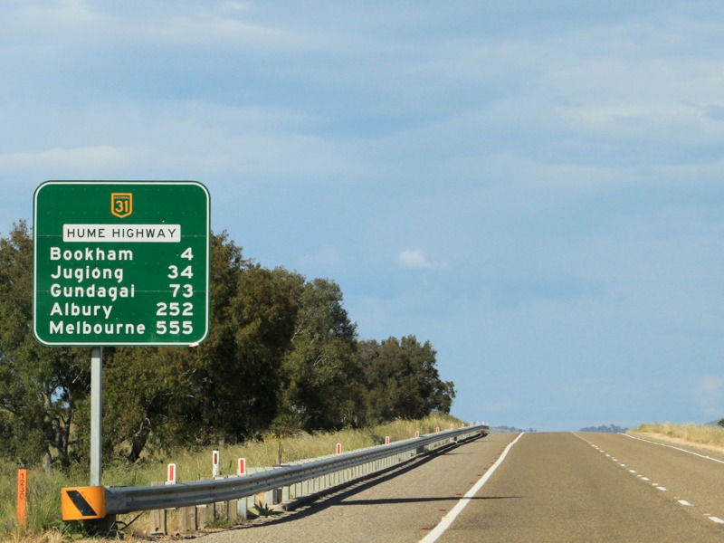 |
Distance Sign: RD sign located after the Burrinjuck Road intersection at Bookham, November 2010. Image © Rob Tilley |
 |
Advance Directional Sign: AD sign approaching Conroy Street in Bookham, November 2010. Image © Rob Tilley |
 |
Conroy Street: Hume Hwy (NH31) at Conroy St, Bookham, November 2010. Image © Rob Tilley |
 |
Conroy St Intersection: Looking westbound at Bookham, November 2010. Image © Rob Tilley |
 |
Intersection Directional Sign: ID sign facing Conroy St, Bookham, November 2010. Image © Rob Tilley |
 |
Advance Directional Sign: AD sign approaching Childow Rd and Illalong Rd at Bookham, November 2010. Image © Rob Tilley |
 |
Intersection Directional Sign: ID sign at Childow Rd and Illalong Rd at Bookham, November 2010. Image © Rob Tilley |
 |
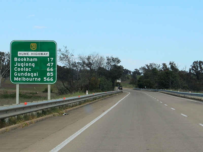
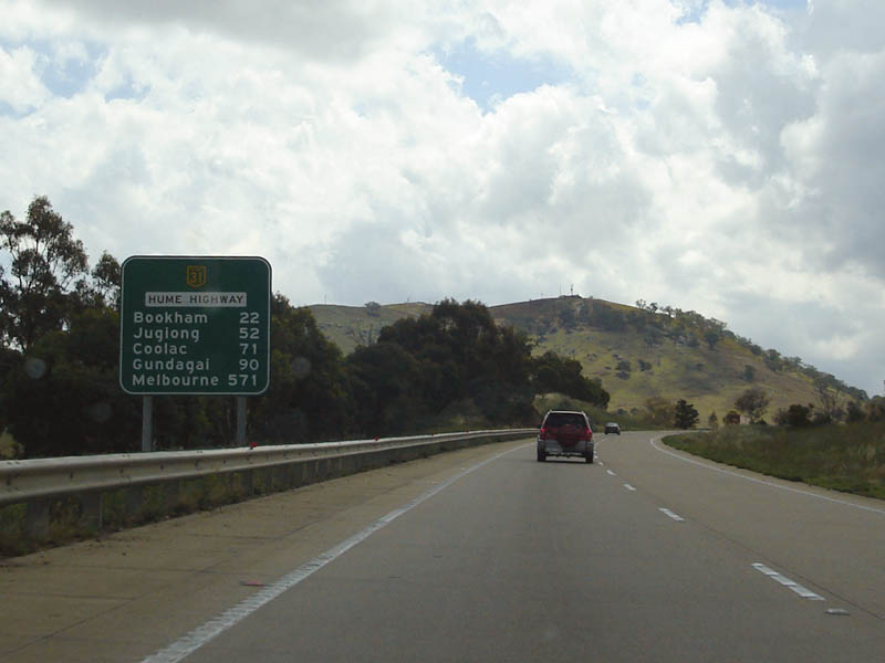
Distance Sign: RD sign between Bookham and Jugiong, November 2010. Image © Rob Tilley |
 |
Intersection Directional Sign: ID sign at Bogolara Rd at Berremangra, November 2010. Image © Rob Tilley |
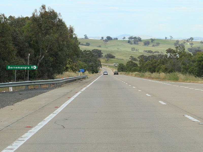 |
Intersection Directional Sign: ID sign at Berremangra Rd at Berremangra, November 2010. Image © Rob Tilley |
 |
Stop Revive Survice Sign: Sign warning motorists to take a break at Jugiong, December 2007. Image © Paul Rands |
 |
Advance Directional Sign: Diagrammatic AD sign for the Riverside Dr (Old Hume Hwy) at Jugiong, November 2010. Image © Rob Tilley |
 |
Services Sign: Services sign for Jugiong, November 2010. Image © Rob Tilley |
 |
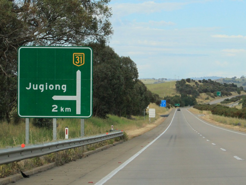
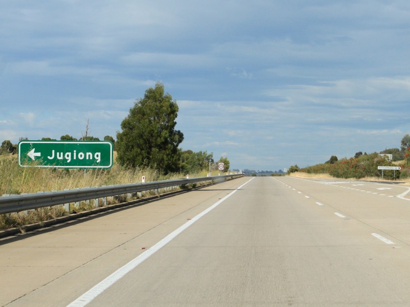
Supplemental AD Sign: Sign listing destinations available from the Jugiong turn off, November 2010. Image © Rob Tilley |
 |
Advance Directional Sign: AD sign for Riverside Dr (Old Hume Hwy) at Jugiong, November 2010. Image © Rob Tilley |
 |
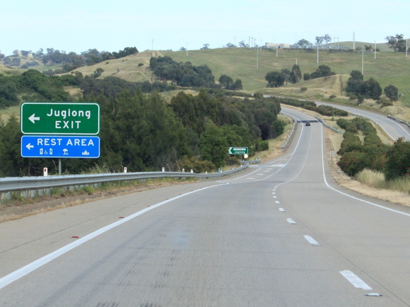
Bypassed Town Sign: Typical NSW bypassed town signage at Jugiong, westbound, November 2010. Image © Rob Tilley |
 |
Approaching River Side Drive: Westbound at Jugiong, November 2010. Image © Rob Tilley |
 |
River Side Drive: ID sign at River Side Dr, Jugiong, November 2010. Image © Rob Tilley |
 |
Advance Directional Sign: Westbound AD sign approaching Dunnolly Road at Jugiong, November 2010. Image © Rob Tilley |
 |
Advance Directional Sign: AD sign for the other end of Riverside Drive at Jugiong, November 2010. Image © Rob Tilley |
 |
Riverside Drive Intersection: Intersection with the western end of Riverside Drive at Jugiong, November 2010. Image © Rob Tilley |
 |
Distance Sign: RD sign as you leave Jugiong near Belmont Rd, November 2010. |
 |
Welcome to The Riverina: Tourism orientated distance sign at Jugiong, November 2010. Click here for a photo of this location from December 2007. Image © Rob Tilley |
| Click here for the continuation of Hume Hwy (NH31) between Coolac and Gundagai Click here for the continuation of Hume Hwy (NH31) between Yass and Goulburn |
|
1 Roads & Traffic Authority
Last updated: 13-Aug-2020 14:38
This site © Paul Rands. All rights reserved. Some portions © (copyright) by their respective and credited owners. Permission must be obtained before using any images from this site. For details, please email by clicking here.