|
|
|
|
|
Mildura, Victoria's most northern city is located on the Sturt & Calder Highways against the Murray River and is the main centre in the Sunraysia Region.
The city is somewhat of an oasis as it is in the centre of an irrigated fertile district surrounded by dry, arid saltbush country. With its picturesque river setting and dry & relatively warm winters, Mildura has become a surprisingly popular holiday destination.
The city was settled in the late 1880's after a successful irrigation scheme was put into place to open the surrounding countryside up for farmland. Today, Mildura and its environs still depend on the local fruit, vegetable and crop growing industries but the city has grown more recently due to steadily increasing tourism and because of its key highway position. The city itself is superb - the western entrance on the Sturt Highway is a wide, tree lined boulevard; has an impressive shopping precicnt & CBD and several great parks & gardens abut the Murray River. Also in the area is the Murray-Sunset National Park, Lock 11, river cruises and the Golden River Zoo. A recommended spot to visit.
| Preview: | Description: |
 |
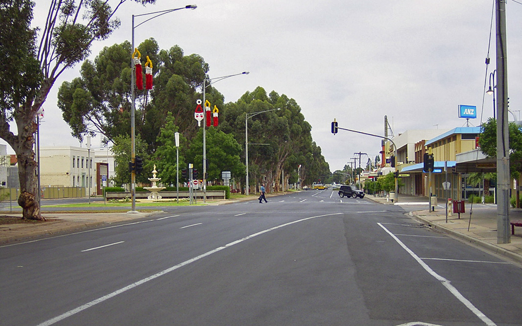
Mildura Town Centre: Eighth Street, looking south-east towards Deakin Avenue, Mildura, 2003. Image © Jamie Scuglia |
 |
Mildura Town Centre: Deakin Avenue looking north-east with Seventh Street in the distance, Mildura, January 2004. Image © Michael Greenslade |
 |
Mildura Town Centre: Deakin Avenue, looking south-west towards Eighth Street, Mildura, January 2004. Image © Michael Greenslade |
 |
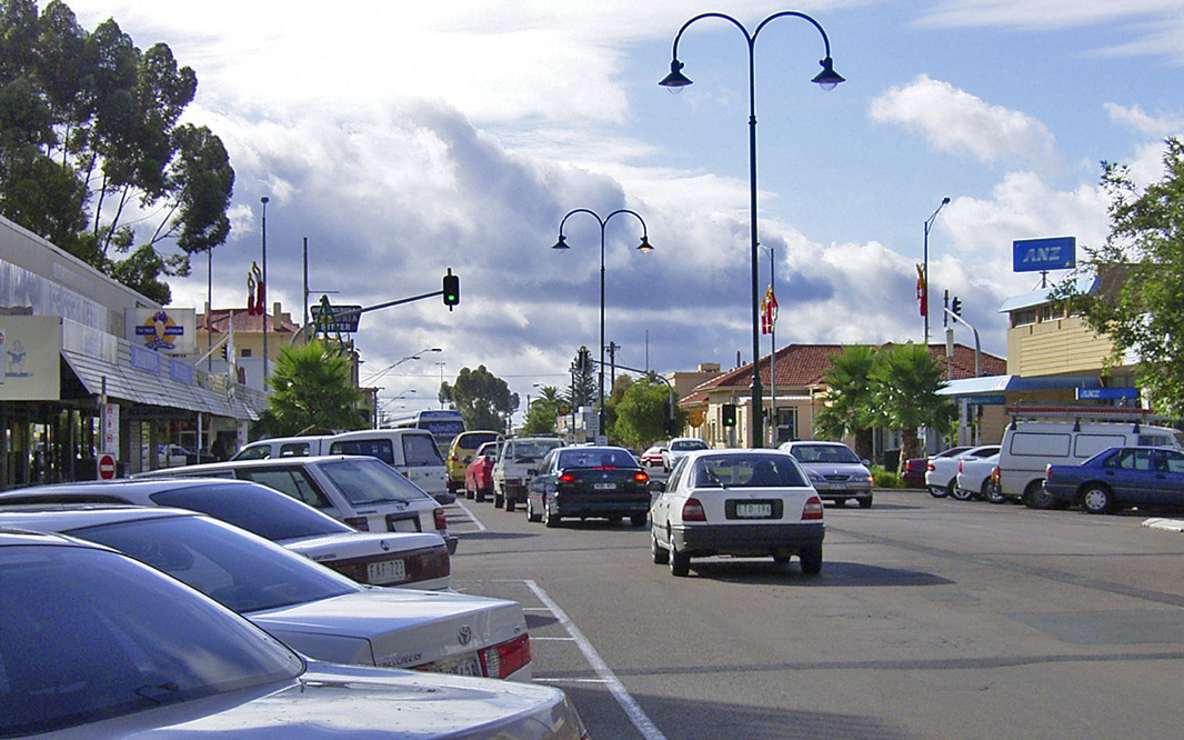
Deakin Avenue: Looking south-west along Deakin Avenue (Sturt Hwy) in Mildura, January 2004. Image © Michael Greenslade |
 |
Mildura Town Centre: Looking south-west across parklands adjoining Seventh Street. Deakin Avenue and its wide median strip is in the distance, Mildura, January 2004. Image © Michael Greenslade |
 |
Eighth Street: Eighth Street, looking north-west at the Langtree Avenue intersection, Mildura, January 2004. Image © Michael Greenslade |
 |
Eighth Street: Eighth Street at Mildura, January 2004. Image © Michael Greenslade |
 |
Eighth Street: Eighth Street at Mildura, January 2004. Image © Michael Greenslade |
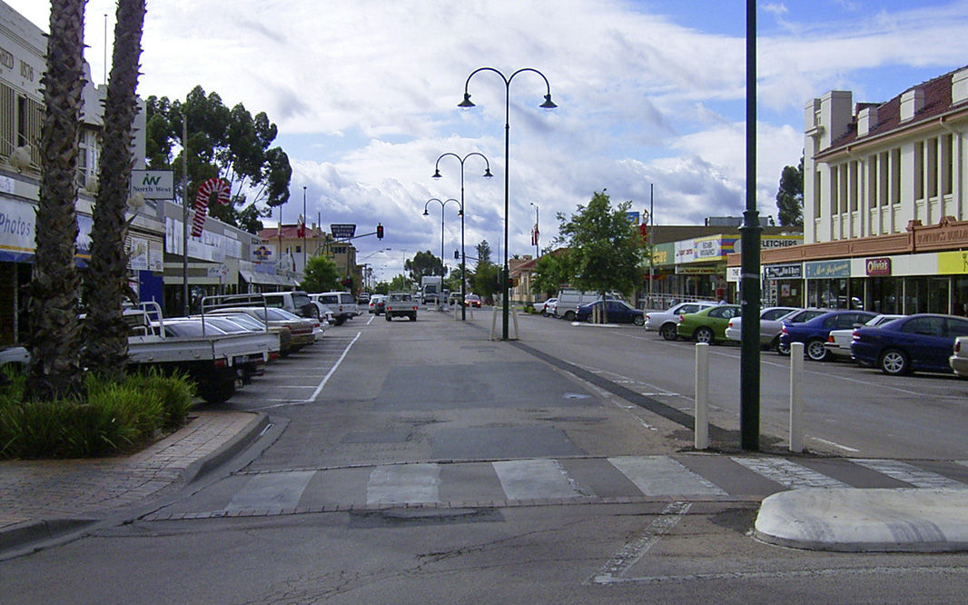 |
Eighth Street: Eighth Street at Mildura, January 2004. Image © Michael Greenslade |
 |
Langtree Street: Langtree Street in Mildura, January 2004. Image © Michael Greenslade |
 |
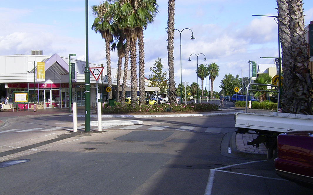
Langtree Mall: View of Langtree Mall in Mildura CDB, January 2004. Image © Michael Greenslade |
 |
Lock Island: Lock Island, looking north-west with the Murray River and old Mildura Homestead in the background, Mildura, January 2004. Image © Michael Greenslade |
 |
Lock 11: Lock 11 on the Murray River - looking north-west, Mildura, January 2004. Image © Michael Greenslade |
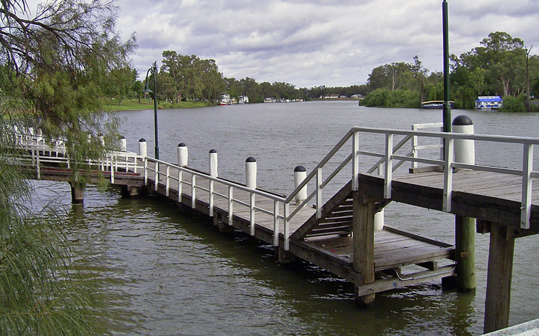 |
Mildura Wharf: The Mildura Wharf with Jaycee Park and the Murray River in the background, Mildura, January 2004. Image © Michael Greenslade |
 |
Hugh King Drive: Hugh King Drive and the adjoining river parklands, Mildura, January 2004. Image © Michael Greenslade |
 |
Rio Vista Park: Murray River from Rio Vista Park, January 2004. Image © Michael Greenslade |
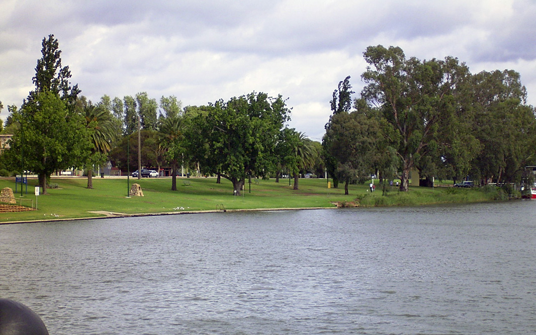 |
Jaycee Park: Jaycee Park, Mildura, January 2004. Image © Michael Greenslade |
1 Australian Bureau of Statistics, 2016 Census QuickStats
Last updated: 19-Dec-2020 8:27
This site © Paul Rands. All rights reserved. Some portions © (copyright) by their respective and credited owners. Permission must be obtained before using any images from this site. For details, please email by clicking here.