|
|
|
|
|
The Adelaide suburbs generally sprawl north-south due to terrain difficulties as the Mt Lofty Ranges bound the city to the east and St Vincents Gulf to the west. Urban sprawl has been a continual problem from Adelaide in particular due to these restraints as the suburbs spread up to 30km north and south but by only10km east and west, however with the recent trend being towards urban densification, this will slowly subside.
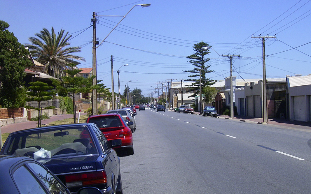
Adelaide's suburban boom typically started after WW2, on par with the other capital cities - before then, many of Adelaide's outer suburbs were separate towns which were inevitably swallowed up as the city grew during the 1960's and 1970's. One intriguing factor of Adelaide's growth during these times was the lack of development in Adelaide's roads. While there was plans for freeway ring roads which have proved successful in one form or another in other cities, no action was ever taken. Only in recent times has the road network in outer Adelaide developed, however with the housing trend for densification, the inner road network will ultimately be put to the test in coming years. Though public transport upgrading can be worked on, Adelaide infact was the innovator for the world renowned O-Bahn busway that was built in the 1980s and for the first fully reversible one-way motorway (Southern Expressway) that was completed in 2001 - both of which have been a success.
In and around the Adelaide suburbs, the highlights include Glenelg (Caption Title and Colley Tce), the Adelaide beaches (clean and safe), Norwood Parade, the Adelaide Hills (Mt Lofty, Stirling, Belair & Aldgate), Port Adelaide (Maritime museum) & Semaphore. Due to the amount of photos to be displayed, the suburbs have been split into northern and southern sections.
Glenelg:
Glenelg, the landing place for the first European settlers in South Australia, lies along St Vincents Gulf just southwest of the Adelaide CBD and has arguably built itself into the city's premier seaside suburb. Boasting several high rise apartment building and a continuous hive of development, Glenelg also has great beaches and an excellent shopping precinct (Jetty Road). The suburb is also the terminus for the historic tram that still runs from the Adelaide CBD, Holdfast Shores, the HMS Buffalo restaurant/museum, several historic buildings and the waterfront gardens & parklands are also well kept - always a recommended place to visit while in Adelaide.
| Preview: | Description: |
 |
Wigley Reserve: View of Wigley Reserve, Glenelg, December 2003. Image © Michael Greenslade |
 |
Magic Mountain: Magic Mountain, now closed, demolished and redeveloped into high rise apartment block - taken from Colley Terrace, Glenelg, December 2003. Image © Michael Greenslade |
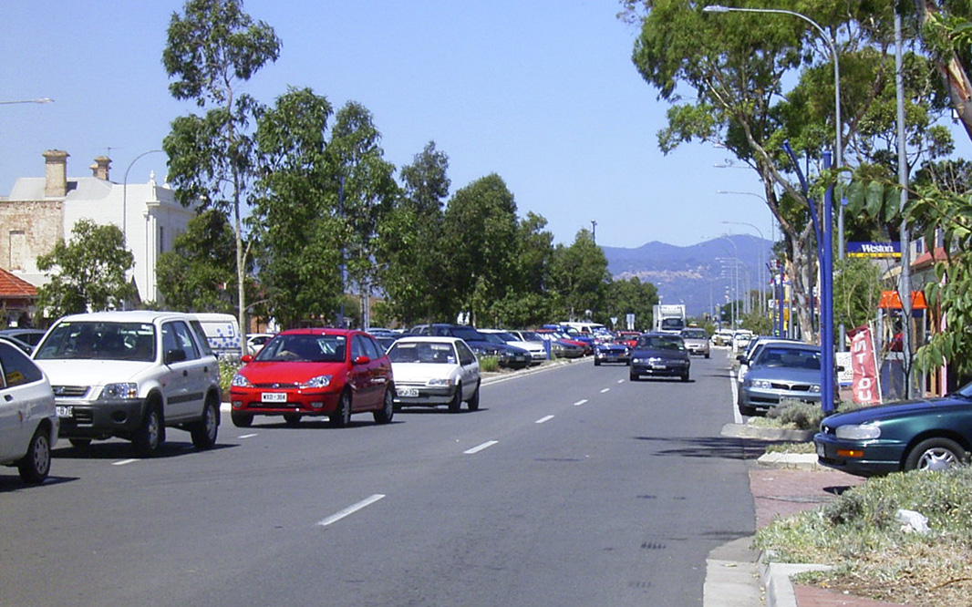 |
Anazc Highway: View of Anzac Hwy at Glenelg, December 2003. Image © Michael Greenslade |
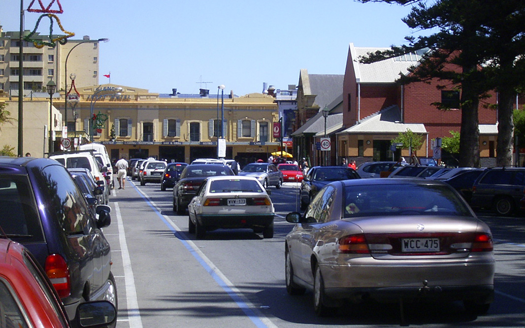 |
Colley Terrace: Colley Tce in the Glenelg CBD, December 2003. Image © Michael Greenslade |
 |
Tram Stop: The historic tram servicing Glenelg, December 2003. Image © Michael Greenslade |
 |
Moseley Square: Moseley Square, looking northeast with the Town Hall in the distance, Glenelg, December 2003. Image © Michael Greenslade |
 |
Glenelg Beach & Foreshore: Glenelg foreshore and beach, looking south from Moseley Square, December 2003. Image © Michael Greenslade |
 |
Glenelg Beach & Jetty: View of Glenelg Beach and historic jetty, December 2003. Image © Michael Greenslade |
 |
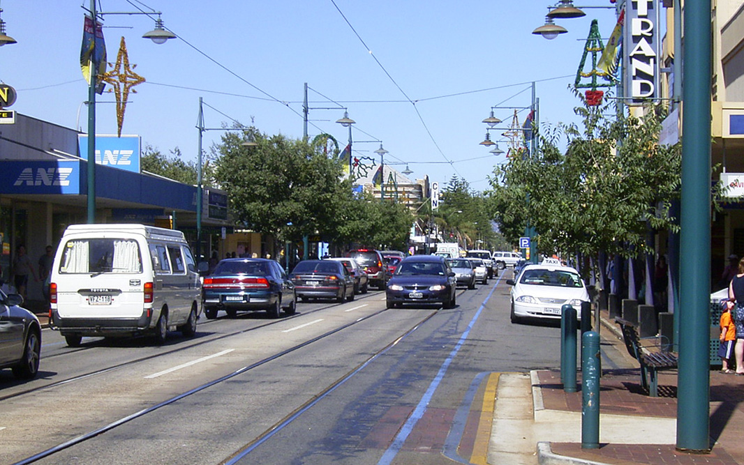
Jetty Road: Jetty Road, looking east from Colley Terrace, Glenelg, December 2003. Image © Michael Greenslade |
 |
Jetty Road: Glenelg town centre, December 2003. Image © Michael Greenslade |
 |
Jetty Road & Gordon Street: Jetty Road again looking east approaching the Gordon Street intersection, December 2003. Image © Michael Greenslade |
 |
Jetty Road: Glenelg town centre, December 2003. Image © Michael Greenslade |
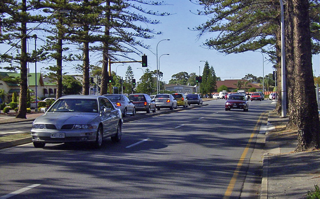 |
Brighton Road: Brighton Rd as it passes through Glenelg, December 2003. Image © Michael Greenslade |
Henley Beach:
| Preview: | Description: |
 |
Seaview Road: Seaview Road, Henley Beach, December 2003. Image © Michael Greenslade |
 |
Henley Beach: Henley Beach town centre, December 2003. Image © Michael Greenslade |
 |
Seaview Road: Seaview Road, looking north in Henley Beach, December 2003. Image © Michael Greenslade |
1 Australian Bureau of Statistics, 2016 Census QuickStats
Last updated: 21-Dec-2020 21:29
This site © Paul Rands. All rights reserved. Some portions © (copyright) by their respective and credited owners. Permission must be obtained before using any images from this site. For details, please email by clicking here.