|
|
|
|
|
Named after the town's first postmaster, Mr Woodburn, Woodburn is a small town located on the Pacific Highway between Grafton and Ballina and against the wide Richmond River. Surrounded by lush green pastures, it is the centre of the local dairying and sugar industries with nearby Broadwater (10km north-east) having a large sugar mill. The town is also close to the excellent surf beaches at Evans Head and the Bundjalung & Broadwater National Parks.
| Preview: | Description: |

|
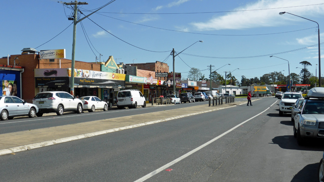
Woodburn
Town Centre: River Street (Pacific Hwy), looking north-east, September 2016. Image © Michael Greenslade |
|
Woodburn Town Centre: River Street (Pacific Hwy), looking south-west in Woodburn, September 2016. Image © Michael Greenslade |

|
Richmond River: Looking northeast along the Richmond River from Riverview Park, Woodburn, September 2016. Image © Michael Greenslade |
|
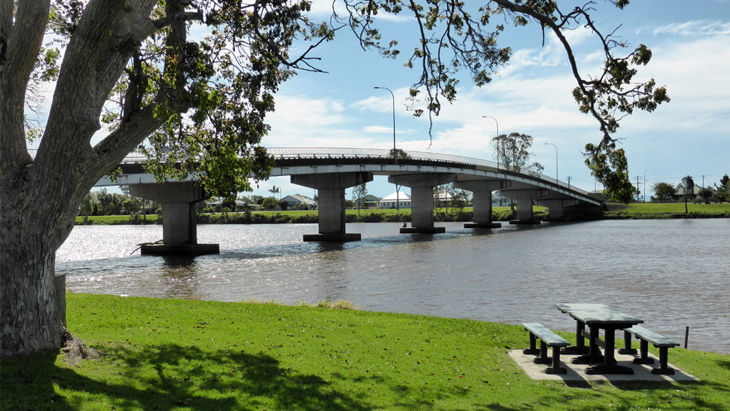
Richmond River: Looking north along the Richmond River, with Court St bridge, from Riverview Park, Woodburn, September 2016. Image © Michael Greenslade |
1 Australian Bureau of Statistics, 2016 Census QuickStats
Last updated: 21-Aug-2020 23:51
This site © Paul Rands. All rights reserved. Some portions © (copyright) by their respective and credited owners. Permission must be obtained before using any images from this site. For details, please email by clicking here.