|
|
|
|
|
Wilcannia, proclaimed a town in the mid 1860's lies on the banks of the Darling River and along the Barrier Highway.
The town was once a key port for paddle steamers but since those operations stopped, the town has slowly declined. In the town, several historic buildings still remain from the town's heyday, the centre-lifting Darling River bridge is still in use with several well kept parks along the Darling River. The town's name is of Aboriginal origin meaning "where flood water escapes".
| Preview: | Description: |
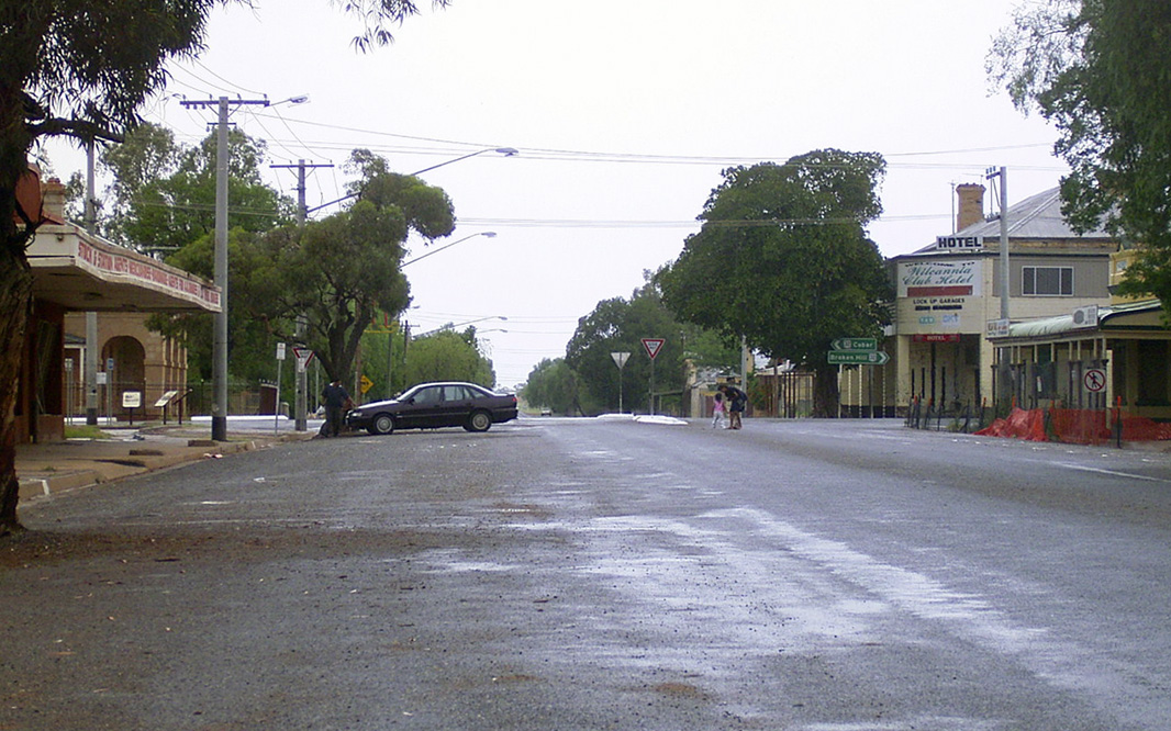 |
Wilcannia Town Centre: Reid Street, looking southwest approaching Myers Street in Wilcannia, December 2003. Image © Michael Greenslade |
 |
Wilcannia Town Centre: Southeast view of Myers Street (Barrier Highway) in Wilcannia, December 2003. Image © Michael Greenslade |
1 Australian Bureau of Statistics, 2016 Census Quickstats
Last updated: 11-Dec-2020 10:08
This site © Paul Rands. All rights reserved. Some portions © (copyright) by their respective and credited owners. Permission must be obtained before using any images from this site. For details, please email by clicking here.