|
|
|
|
|
Named after John Hay, a former local politician, Hay lies at the junction of three highways and also at the banks of the Murrumbidgee River. The town is surrounded by hundreds of kilometres of flat saltbush plains in every direction, giving them the name "Hay Plains". Possibly the best remembered plains in Australia due to the boring drives that are encumbered with every east-west journey. While the town is a centre for the local wool industry, irrigation has allowed the region to be utilised for crops.
The town itself is well looked after, has an interesting main street with various historic buildings still standing from the 1800's and several parks abutting the Murrumbidgee River. The town also has a significant commercial precinct, as it is not only a centre of a large area but an important stop for travellers due to its remoteness and key geographical position.
| Preview: | Description: |
 |
Hay Town Centre: View of Lachlan Street in Hay, January 2004. Image © Michael Greenslade |
 |
Hay Town Centre: View of Lachlan Street in Hay, January 2004. Image © Michael Greenslade |
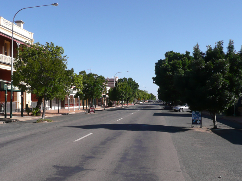 |
Hay Town Centre: Lachlan St (Cobb Hwy (B75)), January 2014. Image © Michael Greenslade |
 |
Hay Town Centre: Lachlan St (Cobb Hwy (B75)), January 2014. Image © Michael Greenslade |
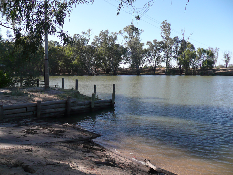 |
Murrumbidgee River: View of the Murrumbidgee River at Hay, January 2014. Image © Michael Greenslade |
 |
Murrumbidgee River: View of the Murrumbidgee River at Hay, January 2014. Image © Michael Greenslade |
1 Australian Bureau of Statistics, 2016 Census QuickStats
Last updated: 09-Dec-2020 21:56
This site © Paul Rands. All rights reserved. Some portions © (copyright) by their respective and credited owners. Permission must be obtained before using any images from this site. For details, please email by clicking here.