|
|
|
|
|
Dubbo, known as NSW's hub of the west lies on a major road junction - that of the Newell and Mitchell Highways as well as a major rail junction. While its status has grown over the years as a junction town and being a target location for businesses de-centralising from Sydney, the addition of the Western Plains Zoo and the Military Museum, both on the outskirts of the city have promoted tourism. The city centre is quite attractive with most streets lined with deciduous trees, well kept Victoria Park and Macquarie Riverside parks, and Macquarie Street, which runs through the CBD.
| Preview: | Description: |
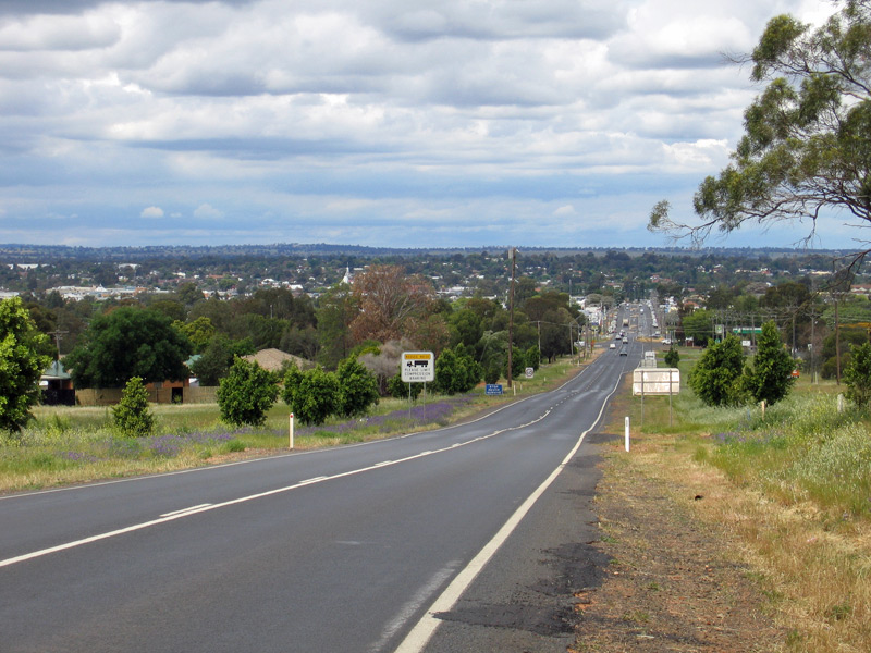 |
View Over Dubbo: Looking east over Dubbo from Mitchell Hwy (A32) at West Dubbo, October 2004. Image © Jamie Scuglia |
 |
Cobra Street: Looking west on Cobra St (Mitchell Hwy) at Dubbo, June 2003. Image © Michael Greenslade |
 |
Darling Street: Looking south on Darling St (former Newell Hwy) in Dubbo, June 2003. Image © Michael Greenslade |
 |
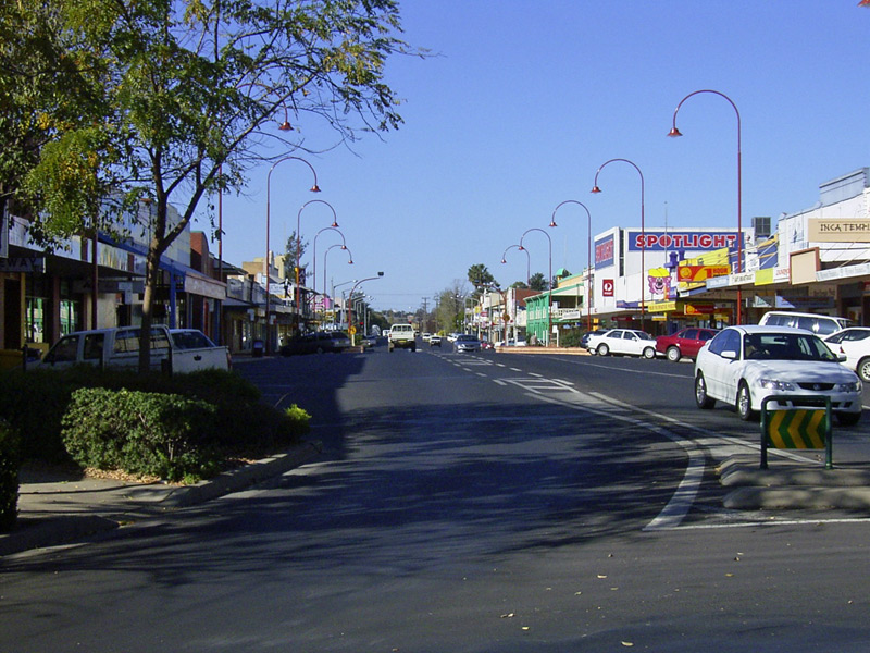
Macquarie Street: Dubbo's main street, Macquarie St, June 2003. Image © Michael Greenslade |
 |
Macquarie Street: Dubbo's main street, Macquarie St, December 2002. Image © Michael Greenslade |
 |
Talbragar Street: Looking east on Talbragar St in Dubbo CBD, June 2003. Image © Michael Greenslade |
1 Australian Bureau of Statistics, 2016 Census QuickStats
Last updated: 27-Oct-2021 13:42
This site © Paul Rands. All rights reserved. Some portions © (copyright) by their respective and credited owners. Permission must be obtained before using any images from this site. For details, please email by clicking here.