|
|
|
|
|
 |
Alexander Drive & Fitzgerald Street (State Route 56) |
Statistics:
Route Numbering:
General Information:
Fitzgerald Street travels northwards through West Perth and North Perth before joining up with Alexander Drive at the intersection of Walcott Street.
Alexander Drive is a major north-south road in the northeastern suburbs of Perth, Western Australia, connecting Perth's central business district (CBD) with Edith Cowan University's Mount Lawley campus and the Malaga industrial area, as well as several suburbs to Perth's northeast.
History:

| North Perth to Gnangara | Gnangara to North Perth | |||
| Preview: | Description: | Preview: | Description: | |
 |
Approaching Scarborough Beach Road & Angove Street: Warning sign on Fitzgerald Street for the signalised junction with Scarborough Beach Road (unnumbered section) and Angove Street in North Perth. February 2009. Image © Paul Rands |
 |
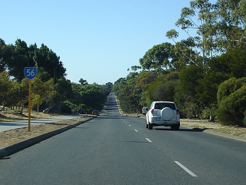
Landsdale Area: Southbound after the Gnangara Rd (SR83) intersection, April 2009. Image © Paul Rands |
|
 |
Approaching Green Street, Walcott Street & Alexander Drive: Warning sign on Fitzgerald St, North Perth approaching the signalised intersection with Green & Walcott Streets (SR75) and Alexander Dr (SR56). February 2009. Image © Paul Rands |
 |
Approaching Kingsway & Park Street: Alexander Dr (SR56) at Landsdale approaching Kingsway and Park St, April 2009. Image © Paul Rands |
|
 |
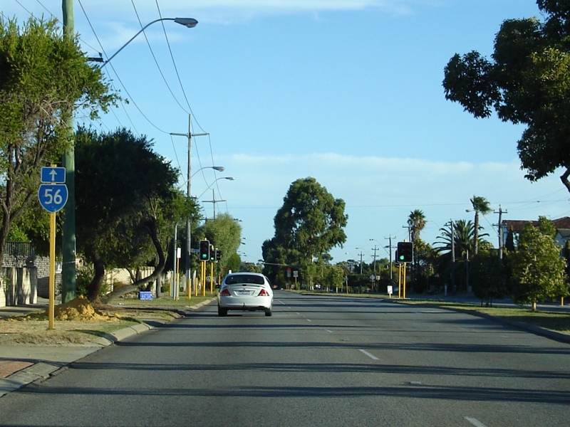
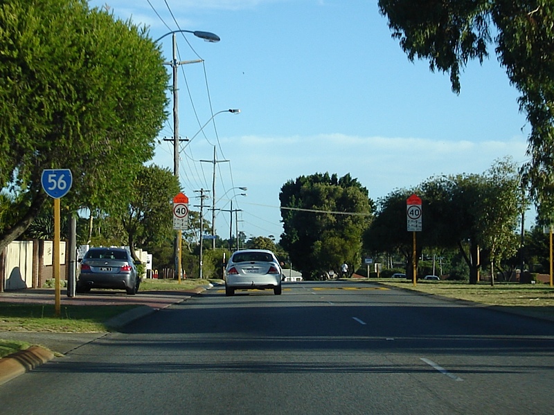
Trailblazer: SR56 trailblazer at Alexander Heights, April 2009. Image © Paul Rands |
 |
Approaching Kingsway & Park Street: Alexander Dr (SR56) at Landsdale approaching Kingsway and Park St, April 2009. Image © Paul Rands |
|
 |
Approaching Hepburn Avenue: Alexander Dr (SR56) approaching the unnumbered section of Hepburn Av in Alexander Heights, April 2009. Image © Paul Rands |
 |
Landsdale Road: Corner of Alexander Dr (SR56) and Landsdale Rd at Landsdale, April 2009. Image © Paul Rands |
|
 |
Approaching Kingsway: Alexander Dr (SR56) approaching Kingsway and Park St at Landsdale, April 2009. Image © Paul Rands |
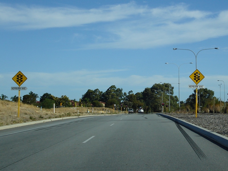 |
Approaching Hepburn Avenue: Alexander Dr (SR56) at Landsdale approaching Hepburn Av, April 2009. Image © Paul Rands |
|
 |
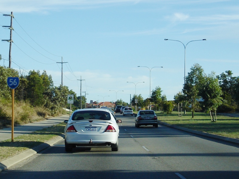
Approaching Gnangara Road: Alexander Drive (SR56) approaching the intersection with Gnangara Drive (SR83) and the unnumbered section of Alexander Drive at Landsdale, April 2009. Image © Paul Rands |
 |
Approaching Illawarra Crescent: Alexander Dr (SR56) approaching Illawarra Cr at Ballajura, April 2009. Image © Paul Rands |
|
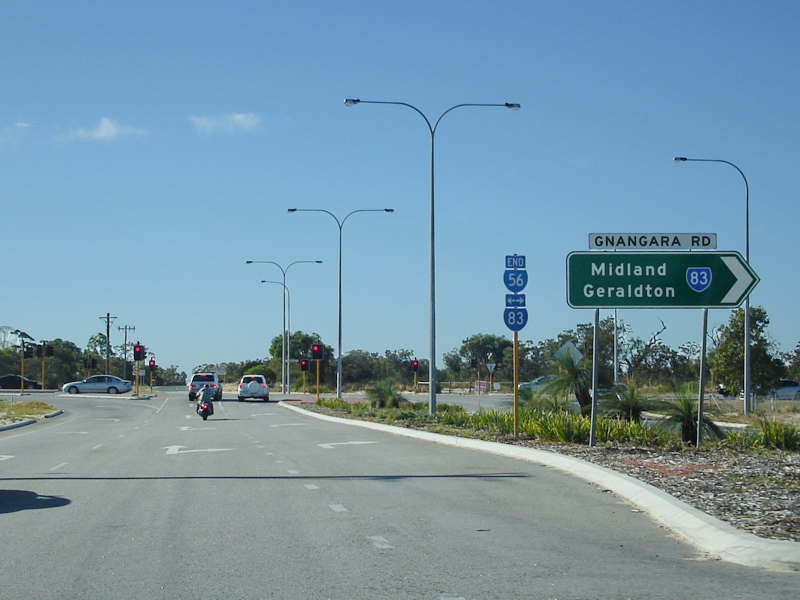 |
End SR56: End of State Route 56 at the junction with Gnangara Rd (SR83), April 2009. Image © Paul Rands |
 |
Approaching Marangaroo Road: Alexander Dr (SR56) approaching Marangaroo Rd (SR81) at Ballajura, April 2009. Image © Paul Rands |
|
 |
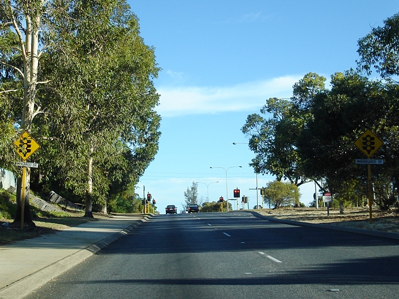
Marangaroo Drive: Corner of Alexander Dr (SR56) and Marangaroo Rd (SR81) at Ballajura, April 2009. Image © Paul Rands |
|||
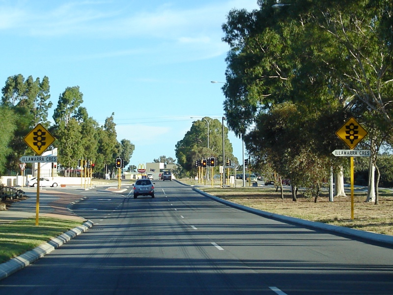 |
Approaching Illawarra Crescent: Alexander Dr (SR56) approaching Illawarra Cr at Ballajura, April 2009. Image © Paul Rands |
|||
 |
Approaching Beach Road: Alexander Dr (SR56) approaching Beach Rd at Malaga, April 2009. Image © Paul Rands |
|||
 |
Beach Road: Alexander Dr (SR56) at the junction with Beach Rd at Malaga, April 2009. Image © Paul Rands |
|||
 |
Approaching Victoria Road: Corner of Alexander Dr (SR56) and Victoria Rd at Malaga, April 2009. Image © Paul Rands |
|||
 |
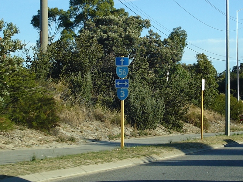
Advance Directional Sign: AD sign at Malaga approaching Reid Hwy (SR3), April 2009. Image © Paul Rands |
|||
 |
Trailblazer Assembly: Trailblazer assembly approaching Reid Hwy (SR3) at Malaga, April 2009. Image © Paul Rands |
|||
 |
Reid Highway Intersection: Corner of Alexander Dr (SR56) and Reid Hwy (SR3) at Malaga, April 2009. Image © Paul Rands |
|||
 |
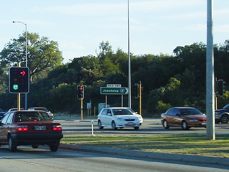
Reid Hwy Intersection: Westbound on Reid Hwy (SR3) at Noranda at the intersection with Alexander Drive. February 2008. Image © Paul Rands |
|||
 |
Trailblazer: SR56 trailblazer at Noranda after the Reid Hwy (SR3) junction, April 2009. Image © Paul Rands |
|||
 |
Approaching Widgee Road & Hellenic Drive: Alexander Dr (SR56) at Noranda approaching Widgee Rd and Hellenic Dr, April 2009. Image © Paul Rands |
|||
 |
Approaching Yirrigan Drive: Alexander Dr (SR56) at Dianella approaching Yirrigan Dr, April 2009. Image © Paul Rands |
|||
 |
Yirrigan Drive Intersection: Corner of Alexander Dr (SR56) and Yirrigan Dr at Dianella, April 2009. Image © Paul Rands |
|||
 |
Trailblazer: SR56 trailblazer at Dianella, after Yirrigan Dr, April 2009. Image © Paul Rands |
|||
 |
Advance Directional Sign: Southbound approaching the intersection with Morley Drive (SR76) at Dianella. February 2008. Image © Paul Rands |
|||
 |
Morley Drive Intersection: Southbound through the intersection with Morley Drive in Dianella. February 2008. Image © Paul Rands |
|||
 |
Morley Drive Intersection: Southbound through the intersection with Morley Drive in Dianella. February 2008. Image © Paul Rands |
|||
 |
Grand Promenade Intersection: Southbound intersection directional sign on the corner of Alexander Dr and Grand Prom (SR55) at Dianella, February 2008. Image © Paul Rands |
|||
 |
Menora: Southbound as you pass through the suburb of Menora, near Central Av. February 2008. Image © Paul Rands |
|||
 |
Lane Allocation Sign: Southbound signage approaching the intersection with Walcott St (SR75) at Menora, February 2008. Image © Paul Rands |
|||
 |
North Perth: Looking southwest in the shopping precinct in North Perth near Forrest Street, February 2008. Image © Paul Rands |
|||
 |
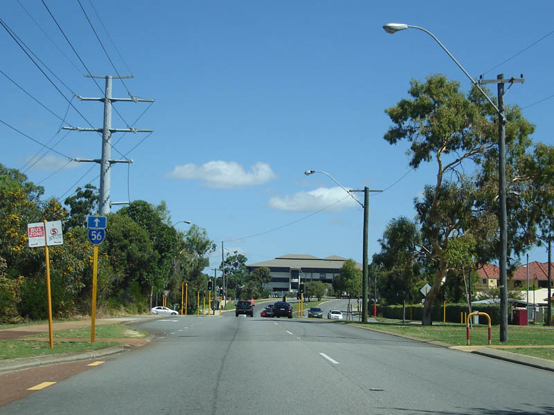
North Perth: SR56 trailbalzer on Fitzgerald St near Chelmsford St in North Perth, April 2009. Image © Paul Rands |
|||
 |
End SR56 Sign: Looking southwest in North Perth at the southern terminus of SR56 near Glendower Street, February 2008. Image © Paul Rands |
|||
1 Western Australia Government Gazette
2 City of Wanneroo
3 Main Roads Western Australia
Last updated: 20-Sep-2016 22:25
This site © Paul Rands. All rights reserved. Some portions © (copyright) by their respective and credited owners. Permission must be obtained before using any images from this site. For details, please email by clicking here.