|
|
|
|
|
| Toodyay Road (State Route 50) |
Statistics:
Route Numbering:
General Information:
Toodyay Road is a rural highway connecting Perth with the WA wheatbelt. It crosses the Darling Range and has some quite steep sections as a result.
History:

| Town to Town | Caversham to Toodyay | |||
| Preview: | Description: | Preview: | Description: | |
 |
Approaching Roe Highway: Toodyay Rd (SR50) approaching Roe Hwy (NH95 / SR3) at Middle Swan, April 2018. Image © Paul Rands |
 |
Intersection Directional Sign: ID sign at the intersection with Roe Hwy (SR3) in Stratton. November 2008. The suburb of Stratton was named for John Peter Stratton (1888-1966), farmer and businessman who owned some of the land in this suburb and was president of the Western Australian Trotting Association 1930-1966. Image © Paul Rands |
|
 |
Trailblazer: NH95 / SR3 trailblazer at the junction with Roe Hwy (NH95 / SR3) at Middle Swan, April 2018. Image © Paul Rands |
 |
Jane Brook: Crossing Jane Brook in the suburb of Jane Brook. November 2008. The suburb is formerly part of Stratton and Red Hill, and takes its name from the brook which flows through the suburb. Jane Brook is believed to be named after Jane Currie, the wife of Fremantle's first Harbour Master. 2 Image © Paul Rands |
|
 |
Intersection Directional Sign: ID sign assembly at the junction with Roe Hwy (NH95 / SR3) at Middle Swan, April 2018. Image © Paul Rands |
 |
Trailblazer: Route number sign at Red Hill. November 2008. Image © Paul Rands |
|
 |
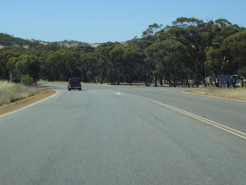
Red Hill: Toodyay Rd as it makes its way up the Darling Range, November 2008. Image © Paul Rands |
|||
 |
Trailblazer: Route number sign at Red Hill. November 2008. Image © Paul Rands |
|||
 |
Entering Gidgegannup: Heading northeast into the town of Gidgegannup. November 2008. Image © Paul Rands |
|||
 |
Gidgegannup: Gidgegannup town centre. November 2008. Gidgegannup derives its name from Gidgegannup Spring, which was first recorded by surveyors passing through the area in 1852. Gidgegannup is an Aboriginal word meaning 'place where spears are made'. "Gidgie' is the word for spear. 2 Image © Paul Rands |
|||
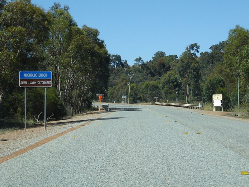 |
Wooroloo Brook: Toodyay Road crossing Wooroloo Brook at Bailup, November 2008. This rural locality derives its name from Bailup Creek, and a Police Station and Inn established on the Toodyay Road in the 1840s. The name is of unknown Aboriginal origin. 2 Image © Paul Rands |
|||
 |
Advacne Directional Sign: Advance directional sign for the Morangup Road intersection at Morangup, November 2008. Image © Paul Rands |
|||
 |
Morangup Road Intersection: Toodyay Road and Morangup Road intersection in Morangup. November 2008. Image © Paul Rands |
|||
 |
Trailblazer: Route number sign at Morangup. November 2008. Image © Paul Rands |
|||
 |
Jimperding Brook: Toodyay Road as it crosses Jimperding Brook at Morangup, November 2008. Image © Paul Rands |
|||
 |
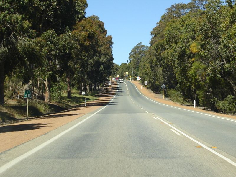
Typical Conditions: Typical highway conditions 10km from Toodyay, note the old black kilometre plate, November 2008. Image © Paul Rands |
|||
 |
Advance Directional Sign: AD sign for the Clackline-Toodyay Rd intersection at Toodyay, November 2008. Image © Paul Rands |
|||
 |
Clackline-Toodyay Road Intersection: Corner of Toodyay Road (SR50) and Clackline-Toodyay Road in Toodyay, November 2008. Image © Paul Rands |
|||
 |
Distance Sign: Reassurance directional sign after the Clackline-Toodyay Road intersection at Toodyay, November 2008. Image © Paul Rands |
|||
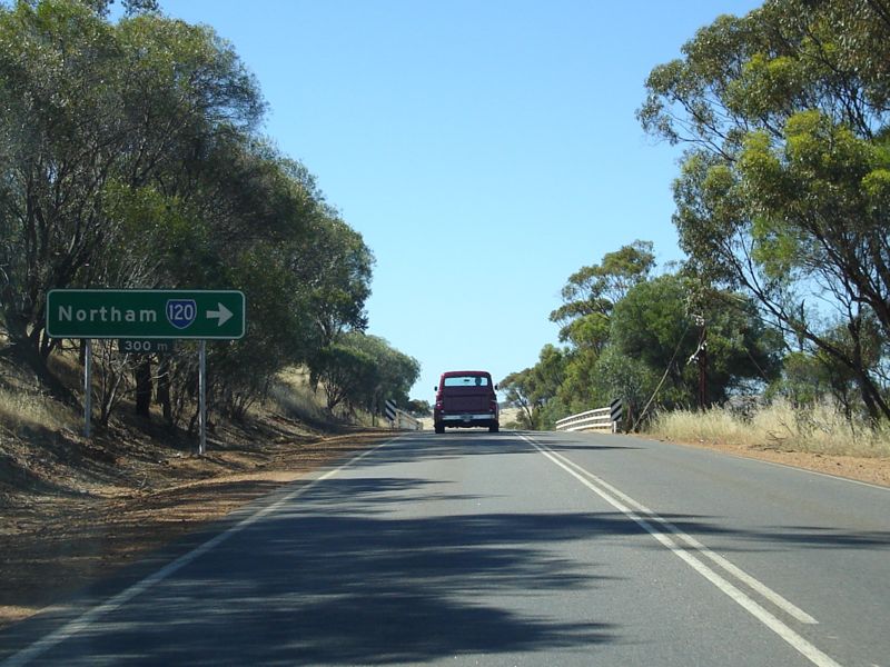 |
Advance Directional Sign: AD sign for the Northam-Toodyay Road intersection, Toodyay. November 2008. Image © Paul Rands |
|||
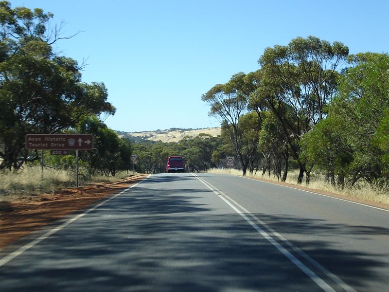 |
Supplemental Advance Directional Sign: Supplemental AD sign for the Avon Historic Tourist Drive (TD254), which partially follows Northam-Toodyay Road. Toodyay, November 2008. Image © Paul Rands |
|||
 |
End SR50: The eastern terminus of SR50 - the corner of Toodyay Road and Northam-Toodyay Rd (SR120), Toodyay November 2008. Toodyay is one of the earliest inland towns in the state, and was surveyed in 1833 following the settlement of the Avon region. However, the townsite's location on the Avon River was subject to flooding, and in 1860 an alternative site about 5 km higher up the Avon was gazetted as a townsite and named Newcastle. In 1909 the Prime Minister wrote to the state government requesting consideration be given to changing the name of Newcastle because of duplication with Newcastle in New South Wales. The Prime Minister suggested the name Toodyay be considered. The Newcastle Municipality at first opposed the change, but following a referendum of residents the name change to Toodyay was supported. The change was gazetted in May 1910, and at the same time the Toodyay townsite was renamed West Toodyay. Toodyay is an Aboriginal name of uncertain meaning. In 1836 the name was referred to as "Duidgee", and some references refer to it as possibly named after the Aboriginal Toodyeep who was the wife of the Coondebung who accompanied Moore & Dale in exploring the area in 1831. 2 Image © Paul Rands |
|||
| Image | Caption Title: Caption, April 2018. Image © Paul Rands |
|||
| Image | Caption Title: Caption, April 2018. Image © Paul Rands |
|||
| Image | Caption Title: Caption, April 2018. Image © Paul Rands |
|||
| Image | Caption Title: Caption, April 2018. Image © Paul Rands |
|||
| Image | Caption Title: Caption, April 2018. Image © Paul Rands |
|||
| Click here to continue | ||||
1 Main Roads WA
2 Landgate
Last updated: 27-Jul-2020 11:22
This site © Paul Rands. All rights reserved. Some portions © (copyright) by their respective and credited owners. Permission must be obtained before using any images from this site. For details, please email by clicking here.