|
|
|
|
|
 |
Nicholson Road (State Route 31) |
Statistics:
Route Numbering:
General Information:
Nicholson Road is an arterial route in Perth's southeastern suburbs. It's a mix of single and dual carriageway, and passes through rural, industrial, commercial and residential zones.
History:

| Oakford to Beckenham | Beckenham to Oakford | |||
| Preview: | Description: | Preview: | Description: | |
 |
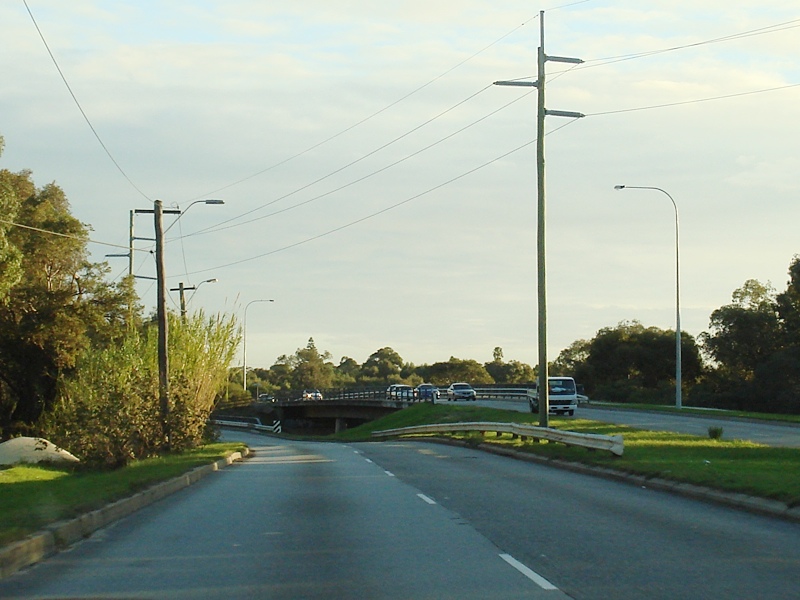
Oakford: Northbound at Oakford, just after the Thomas Rd (SR21) intersection, July 2010. Image © Brendan Cherry |
 |
Intersection Directional Sign: ID sign assembly at the junction with Albany Hwy (SR30) at Langford, July 2009. Image © Paul Rands |
|
 |
Forrestdale Area: SR31 in the Forrestdale area, June 2010. Image © Brendan Cherry |
 |
Approaching Canning River: Nicholson Rd at Langford approaching Canning River, July 2009. Image © Paul Rands |
|
 |
Traliblazer Assembly & Flashing Warning Sign: Trailblazer assembly and flashing warning sign at Forrestdale approaching Armadale Rd (SR14), July 2010. Image © Brendan Cherry |
 |
Approaching Spencer Road: Nicholson Rd (SR31) approaching Spencer Rd (SR36) at Langford, July 2009. Image © Paul Rands |
|
 |
Approaching Harrisdale Drive: Nicholson Rd (SR31) at Piara Waters approaching Harrisdale Dr, July 2010. Image © Brendan Cherry |
 |
Spencer Road Intersection: Corner of Nicholson Rd (SR31) and Spencer Rd (SR36) at Langford. July 2009. Image © Paul Rands |
|
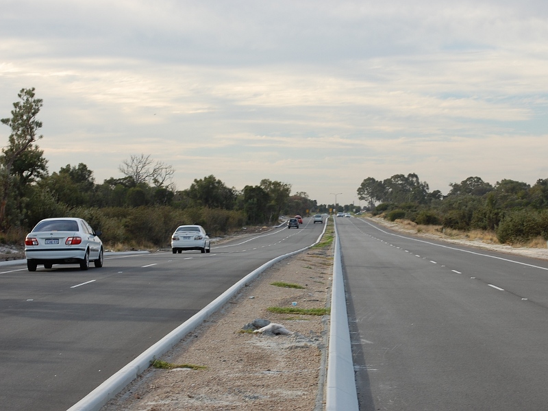 |
Canning Vale: Northbound at Canning Vale, April 2010. Image © Brendan Cherry |
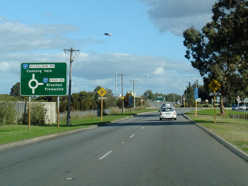 |
Advance Directional Sign: AD sign at Langford on Nicholson Rd (SR31), approaching High Rd (SR27), July 2009. Image © Paul Rands |
|
 |
Trailblazer Assembly: Trailblazer assembly at Langford on Nicholson Rd (SR31), approaching High Rd (SR27), July 2009. Image © Paul Rands |
|||
 |
Intersection Directional Sign: ID sign at the roundabout with Nicholson Rd (SR31) and High Rd (SR27) at Langford, July 2009. Image © Paul Rands |
|||
 |
Intersection Directional Sign: ID sign at the roundabout with Nicholson Rd (SR31) and High Rd (SR27) at Langford, July 2009. Image © Paul Rands |
|||
 |
Advance Directional Sign: AD sign at Langford approaching the interchange with Roe Hwy (SR3), July 2009. Image © Paul Rands |
|||
 |
Roe Highway Interchange: ID sign at the Roe Hwy (SR3) interchange at Langford, July 2009. Image © Paul Rands |
|||
 |
Trailblazer: SR31 trailblazer at Thornlie after the Roe Hwy (SR3) interchange, July 2009. Image © Paul Rands |
|||
 |
Approaching Wilfred Road & Bannister Road: Nicholson Rd (SR31) at Thornlie approaching Wilfred Rd and Bannister Rd, July 2009. Image © Paul Rands |
|||
 |
Wilfred Road & Bannister Road Intersection: Nicholson Rd (SR31) at Thornlie at the signalised junction with Wilfred Rd and Bannister Rd, July 2009. Image © Paul Rands |
|||
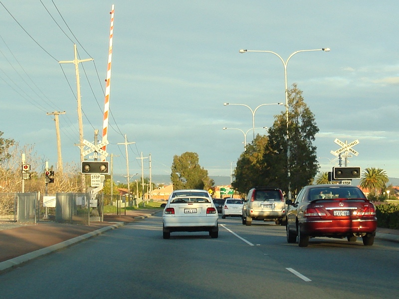 |
Level Crossing: Railway level crossing at Thornlie, July 2009. Image © Paul Rands |
|||
 |
Advance Directional Sign: Diagrammatic AD sign on Nicholson Rd (SR31) at Thornlie, approaching the roundabout with Yale Rd and Garden St, July 2009. SR31 veers off to the right at the roundabout. Image © Paul Rands |
|||
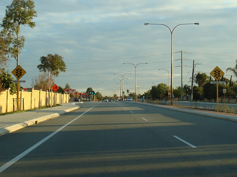 |
Approaching Amherst Rd: Nicholson Rd as it approaches Amherst Rd in Canning Vale, July 2009. Image © Paul Rands |
|||
 |
Amherst Road Intersection: Corner of Nicholson Rd (SR31) and Amherst Rd at Canning Vale, July 2009. Image © Paul Rands |
|||
 |
Approaching Warton Road: Nicholson Rd (SR31) as it approaches Warton Rd at Canning Vale, July 2009. Image © Paul Rands |
|||
 |
Warton Road Roundabout: Corner of Nicholson Rd (SR31) and Warton Rd in Canning Vale, July 2009. Image © Paul Rands |
|||
 |
Harrisdale Area: SR31 as it passes through the Harrisdale area, July 2009. Image © Paul Rands |
|||
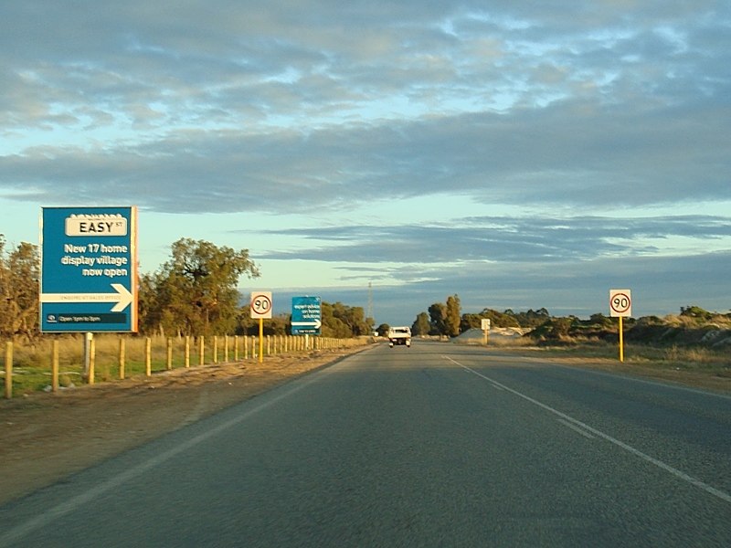 |
Harrisdale Area: SR31 as it approaches the 90 km/h zone at Harrisdale, July 2009. Image © Paul Rands |
|||
 |
Approaching Armadale Road: Nicholson Rd (SR31) as it approaches Armadale Rd (SR14) at Harrisdale, July 2009. Image © Paul Rands |
|||
 |
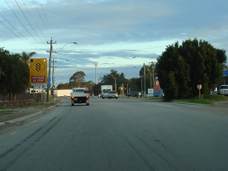
Trailblazer Assembly: Trailblazer at the corner of Nicholson Rd (SR31) and Armadale Rd (SR14) at Harrisdale, July 2009. Image © Paul Rands |
|||
 |
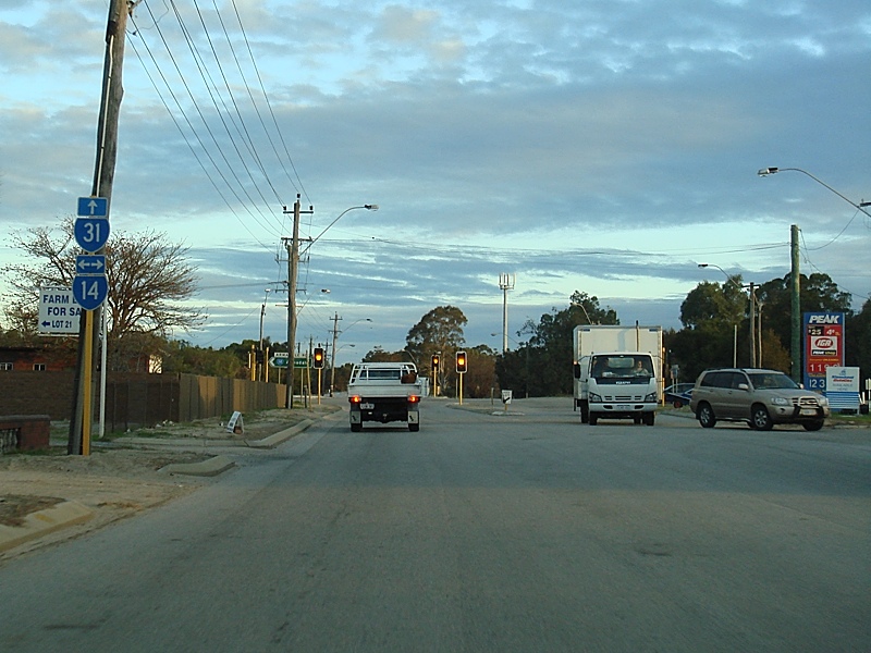
Armadale Road Intersection: Corner of Nicholson Rd (SR31) and Armadale Rd (SR14) at Harrisdale, July 2009. Image © Paul Rands |
|||
 |
Armadale Road Intersection: Corner of Nicholson Rd (SR31) and Armadale Rd (SR14) at Harrisdale, July 2009. Image © Paul Rands |
|||
 |
Trailblazer: Trailblazer the junction of Nicholson Rd (SR31) and Armadale Rd (SR14) at Forrestdale, July 2009. Image © Paul Rands |
|||
 |
Approaching Rowley Road: Nicholson Rd (SR31) as it approaches Rowley Rd at Forrestdale, July 2009. Image © Paul Rands |
|||
 |
Entering Serpentine Jarrahdale: Nicholson Rd at Oakford as it enters Serpentine Jarrahdale region, July 2009. Image © Paul Rands |
|||
 |
Thomas Road Intersection: The southern terminus of SR31 - Thomas Road at Oakford, July 2009. Image © Paul Rands |
|||
1 Curtin Health Innovation Research Institute, Curtin University of Technology, An Evaluation of the State Black Spot Program in Western Australia, 2003-2004, Meuleners L, Hendrie D, December 2008
Last updated: 08 Nov 2019 01:09
This site © Paul Rands. All rights reserved. Some portions © (copyright) by their respective and credited owners. Permission must be obtained before using any images from this site. For details, please email by clicking here.