|
|
|
|
|
 |
Coolgardie-Esperance Highway, South Coast Highway, Chester Pass Road, South Western Highway, Robertson Drive, Forrest Highway, Old Coast Road, Mandurah Road, Ennis Avenue, Patterson Road, Rockingham Road, Stock Road, Leach Highway, Kwinana Freeway, Canning Highway, Great Eastern Highway, Great Eastern Highway Bypass, Roe Highway, Great Northern Highway, Brand Highway & North West Coastal Highway (National Route 1) - Norseman to Esperance |
Statistics:
Route Numbering:
General Information:
National Route 1 is a major route in WA.
The route varies in form from multi-laned arterial road, suburban road, to single carriageway rural highway. It passes through commercial, industrial, residential and agricultural land, and also through state forest and conservation areas.
History:
Coolgardie-Esperance Highway:
- 2000: Work starts on the first stage of an $8.5 million project to upgrade 38km of Coolgardie Esperance Highway from Scaddan to Gibson, 40kms north of Esperance, to State Highway standard. The work included road reconstruction of 16km of highway to provide a wider seal and shoulder, and minor improvements to drainage. 2
- February 2000: Widening works on the 40 km stretch of Coolgardie-Esperance Highway between Scaddan and Gibson begin. 3
- March 2010: A new passing lane constructed on the Coolgardie-Esperance Highway, approximately 10km north of Esperance at Six Mile Hill. 4
- 2015: Works start to widen a three-kilometre stretch of Coolgardie-Esperance Highway, 60km north of Norseman.The work included widening and sealing the pavement, adding culverts and installing audible edge lining. 5
Click here for photos of the former alignment between Norseman and Esperance
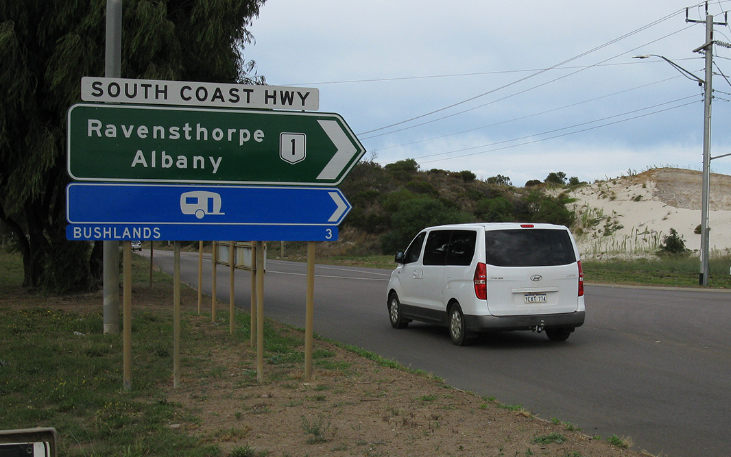
| Esperance to Norseman | Norseman to Esperance | |||
| Preview: | Description: | Preview: | Description: | |
 |
Services Sign: Services sign on South Coast Hwy (NR1) at Monjinup, a suburb of Esperance, April 2018. Image © Paul Rands |
 |
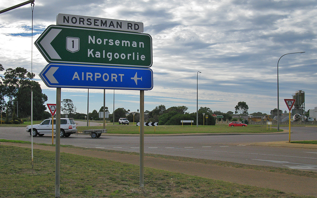
Directional Sign: ID sign facing the Eyre Hwy (NH1) at Norseman. This is the terminus of NR1. December 2007. Image © Paul Rands |
|
 |
Advance Directional Sign: AD sign at Chadwick approaching Harbour Rd, April 2018. Click here for a photo of this location by Paul Rands from September 2009. NR1 turns left at Harbour Rd. Image © Paul Rands |
 |
Southbound on Prinsep Street: Entering Norseman on Prinsep Street. Prinsep Street acts as a bypass to the main shopping area. December 2007. Image © Paul Rands |
|
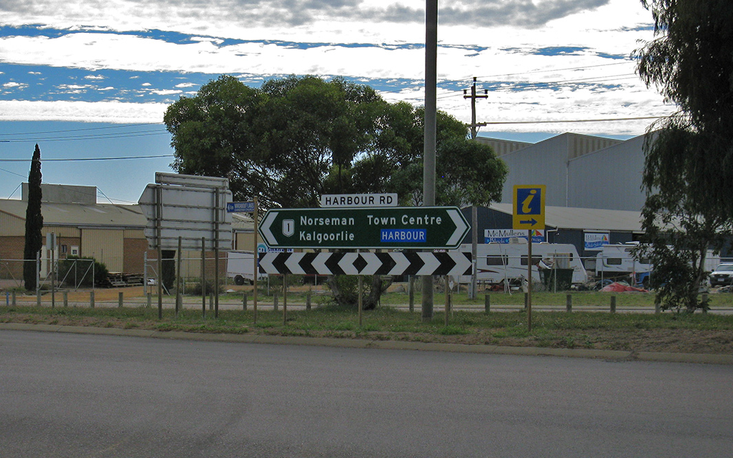 |
Intersection Directional Sign: ID sign assembly at the junction with Harbour Rd, April 2018. Click here for a photo of this location by Paul Rands from September 2009. Harbour Rd is the local name for NR1 which is part of South Coast Hwy. Image © Paul Rands |
 |
Corner of Ramsey & Prinsep Streets: Southbound through Norseman as you approach the camel sculptures on the roundabout at the corner of Ramsey and Prinsep Streets, December 2007. Image © Paul Rands |
|
 |
Black advance Directional Sign: Old black AD sign on Harbour Rd at Chadwick, approaching South Coast Hwy (NR1), September 2009. Image © Paul Rands |
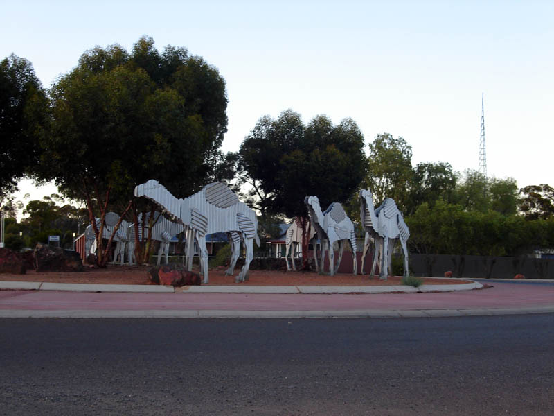 |
Camel Sculptures: The tin camels on the corner of Prinsep Street (NR1) and Ramsey Street in Norseman. They're a tribute to the early camel trains that carried freight through the area. December 2007. Image © Paul Rands |
|
 |
Harbour Road & South Coast Highway: Harbour Road at its junction with South Coast Hwy (NR1), September 2009. Image © Paul Rands |
 |
Road Trains Sign: Southbound warning sign near the Norseman industrial area indicating road trains entering. December 2007. Image © Paul Rands |
|
 |
Distance Sign: RD sign on South Coast Hwy (NR1) at Chadwick, after the Harbour Rd junction, April 2018. Click here for a photo of this location by Paul Rands from September 2009. Image © Paul Rands |
 |
Road Status Sign: Sign indicating the status of Lake King - Norseman Road. Southbound at Norseman, December 2007. Image © Paul Rands |
|
 |
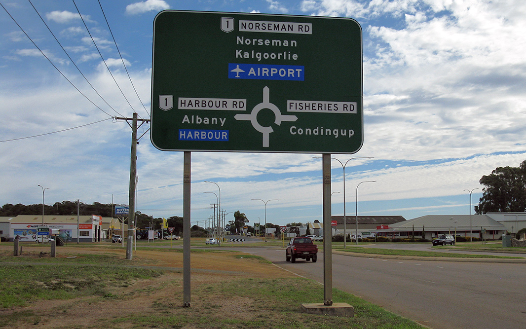
advance Directional Sign: AD sign on South Coast Hwy (NR1) at Chadwick, approaching Norseman Rd and Fisheries Rd, April 2018. Click here for a photo of this location by Paul Rands from September 2009. NR1 turns left at this junction. Image © Paul Rands |
 |
Distance Sign: RD sign as you head southbound out of Norseman, April 2018. Click here for a photo by Paul Rands of this location from December 2007. Image © Paul Rands |
|
 |
Norseman Road & Fisheries Road: South Coast Hwy (NR1) at the junction with Coolgardie-Esperance Hwy (NR1), Norseman Rd and Fisheries Rd, April 2018. Click here for a photo of this location by Paul Rands from September 2009. Norseman Rd is the local name for this section of NR1. Image © Paul Rands |
 |
Advance Directional Sign: AD sign at Dundas approaching Dundas Heritage Trail, April 2018. Image © Paul Rands |
|
 |
Intersection Directional Sign: ID sign on the corner of South Coast Hwy (NR1) and Coolgardie-Esperance Hwy (NR1), Norseman Rd and Fisheries Rd at Chadwick, April 2018. Image © Paul Rands |
 |
Dundas Heritage Trail: Corner of Coolgardie-Esperance Hwy (NR1) and Dundas Heritage Trail at Dundas, April 2018. Image © Paul Rands |
|
 |
Intersection Directional Sign: ID sign on the corner of South Coast Hwy (NR1) and Coolgardie-Esperance Hwy (NR1), Norseman Rd and Fisheries Rd at Chadwick, April 2018. Image © Paul Rands |
 |
Bromus Dam Road: Corner of Coolgardie-Esperance Hwy (NR1) and Bromus Dam Rd at Dundas, April 2018. Image © Paul Rands |
|
 |
Intersection Directional Sign: ID sign on the corner of South Coast Hwy (NR1) and Coolgardie-Esperance Hwy (NR1), Norseman Rd and Fisheries Rd at Chadwick, April 2018. Image © Paul Rands |
 |
Lake King-Norseman Road: Corner of Coolgardie-Esperance Hwy (NR1) and Lake King-Norseman Rd at Salmon Gums, April 2018. Image © Paul Rands |
|
 |
Black Distance Sign: Old black RD sign on Coolgardie-Esperance Hwy (NR1) (Norseman Rd) at Chadwick, after the roundabout with Fisheries Rd and South Coast Hwy (NR1), April 2018. Click here for a photo of this location (with black sign) by Paul Rands from September 2009. Image © Paul Rands |
 |
Kumarl-Lake King Road: Corner of Coolgardie-Esperance Hwy (NR1) and Kumarl-Lake King Rd at Salmon Gums, April 2018. Image © Paul Rands |
|
 |
Melijinup Road: Corner of Coolgardie-Esperance Hwy (NR1) and Melijinup Rd at Monjingup, April 2018. Click here for a photo of this location by Paul Rands from September 2009. Image © Paul Rands |
 |
Services Sign: Services sign at Salmon Gums, April 2018. Image © Paul Rands |
|
 |
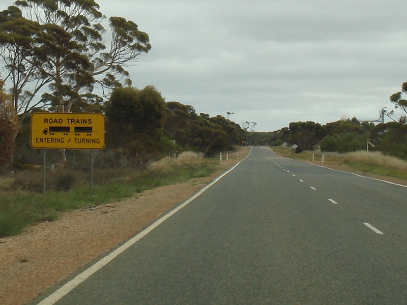
Road Train Sign: Sign at Monjingup indicating road trains are prevalent on the road, September 2009. Image © Paul Rands |
 |
Entering Salmon Gums: Coolgardie-Esperance Hwy (NR1) entering the town of Salmon Gums, April 2018. Image © Paul Rands |
|
 |
Reassurance Directional Sign: Distance sign near Shark Lake Rd (former NR1) at Myrup, April 2018. Image © Paul Rands |
 |
Salmon Gums: Coolgardie-Esperance Hwy (NR1) passing through the town of Salmon Gums, April 2018. Image © Paul Rands |
|
 |
Interesection Directional Sign: ID sign facing Shark Lake Rd (former NR1) at Myrup, April 2018. Image © Paul Rands |
 |
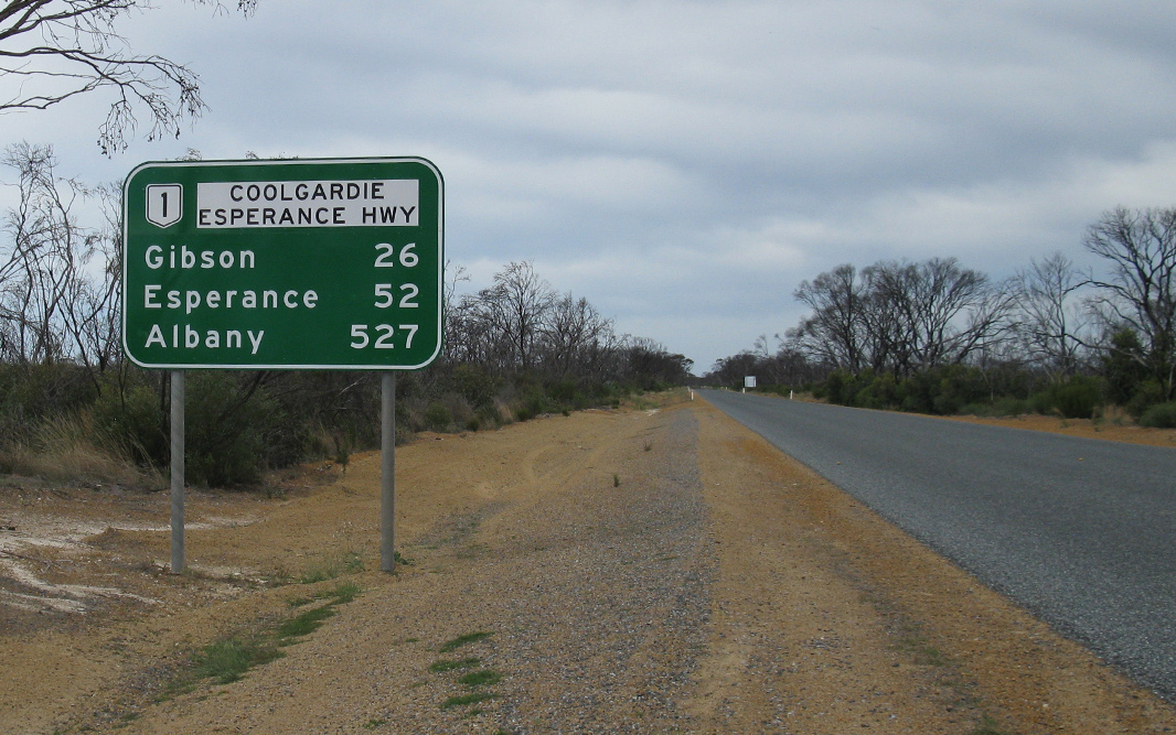
Reassurance Directional Sign: Distance sign at Salmon Gums, April 2018. Image © Paul Rands |
|
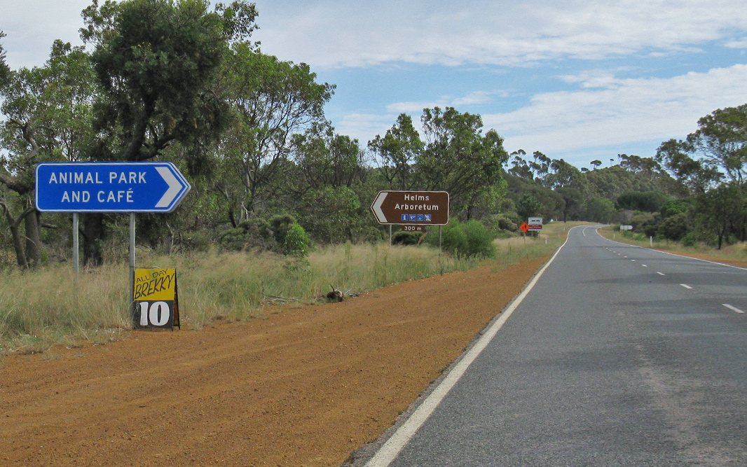 |
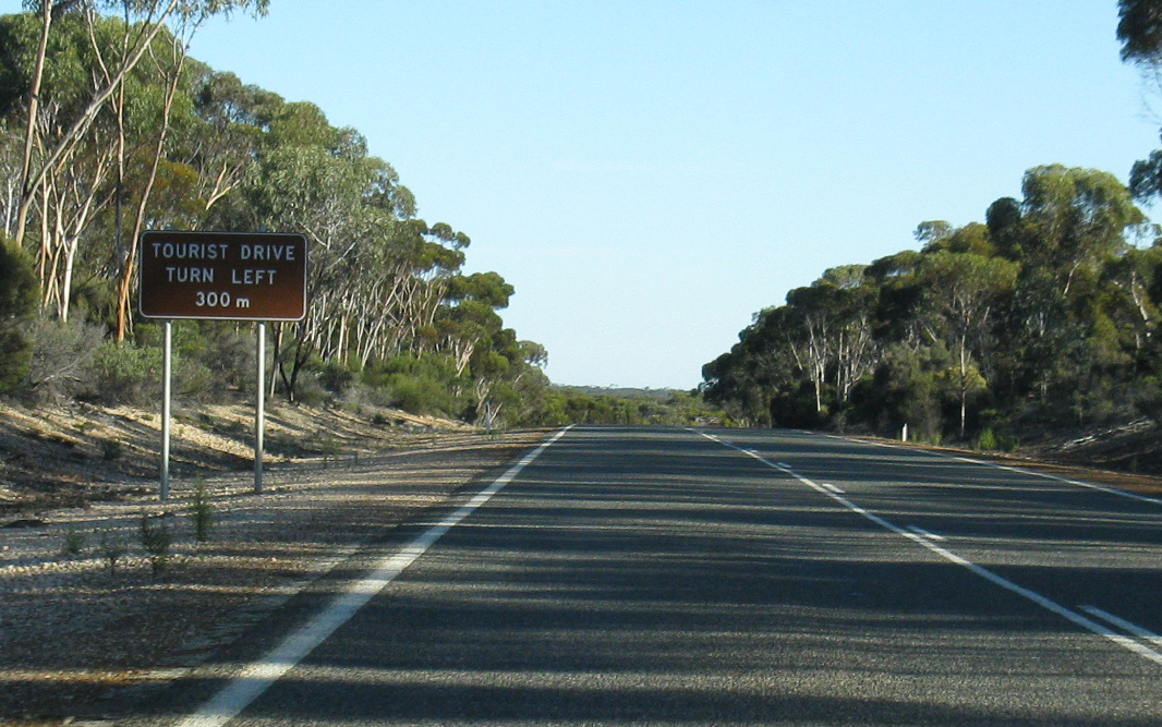
Intersection Directional Signs: ID signs at Gibson at the entrances to Esperance Animal Park and Helms Aboretum, April 2018. Image © Paul Rands |
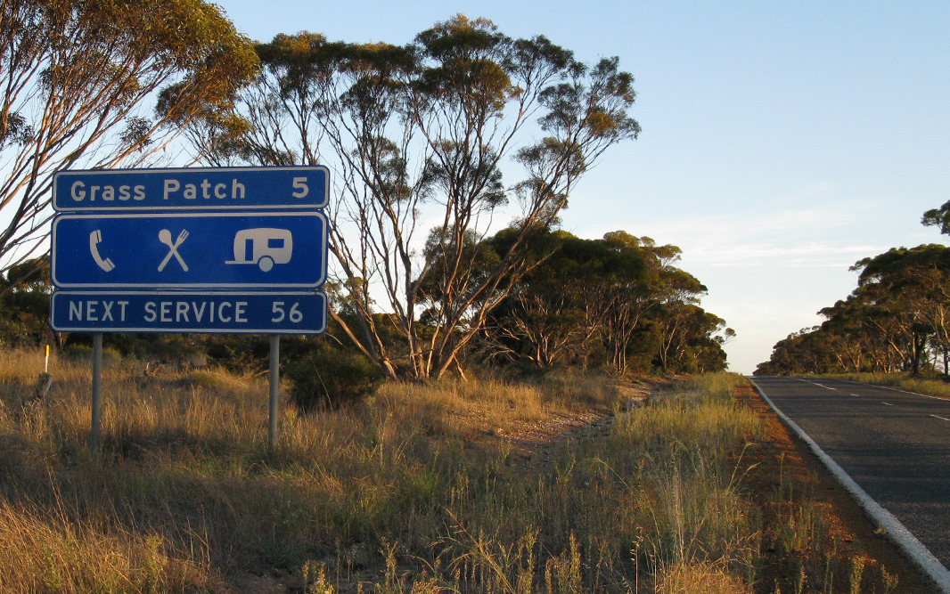 |
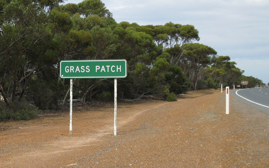
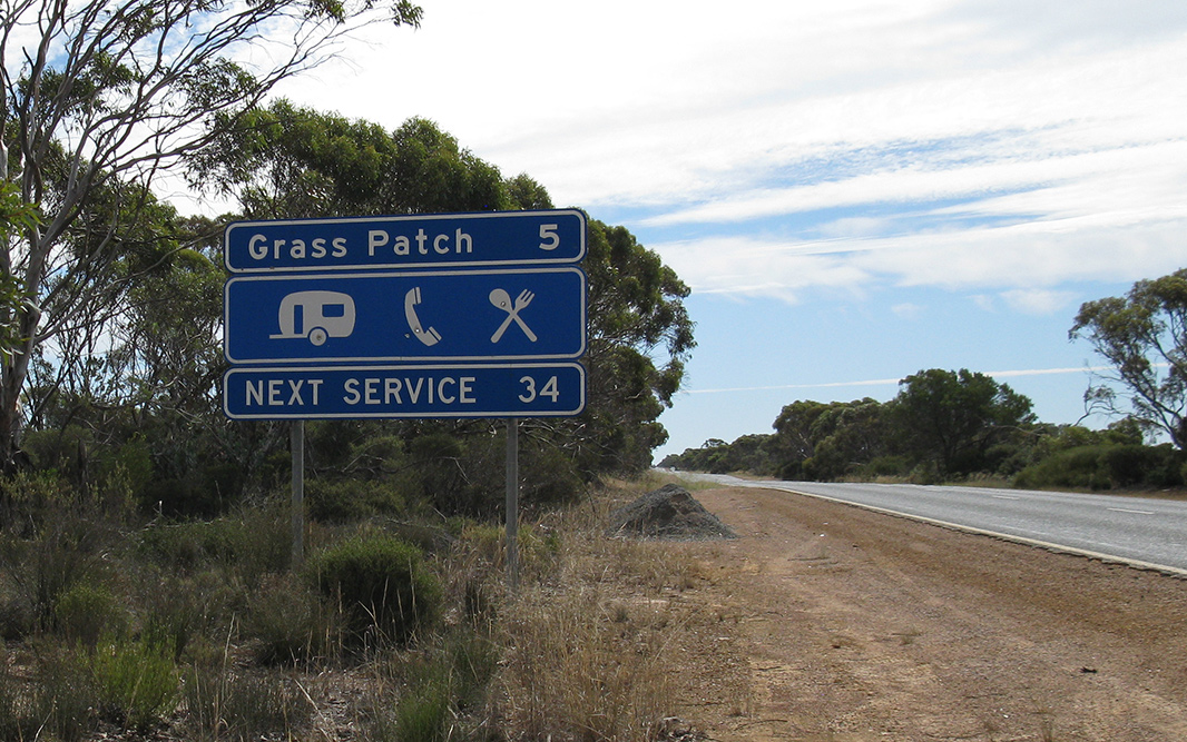
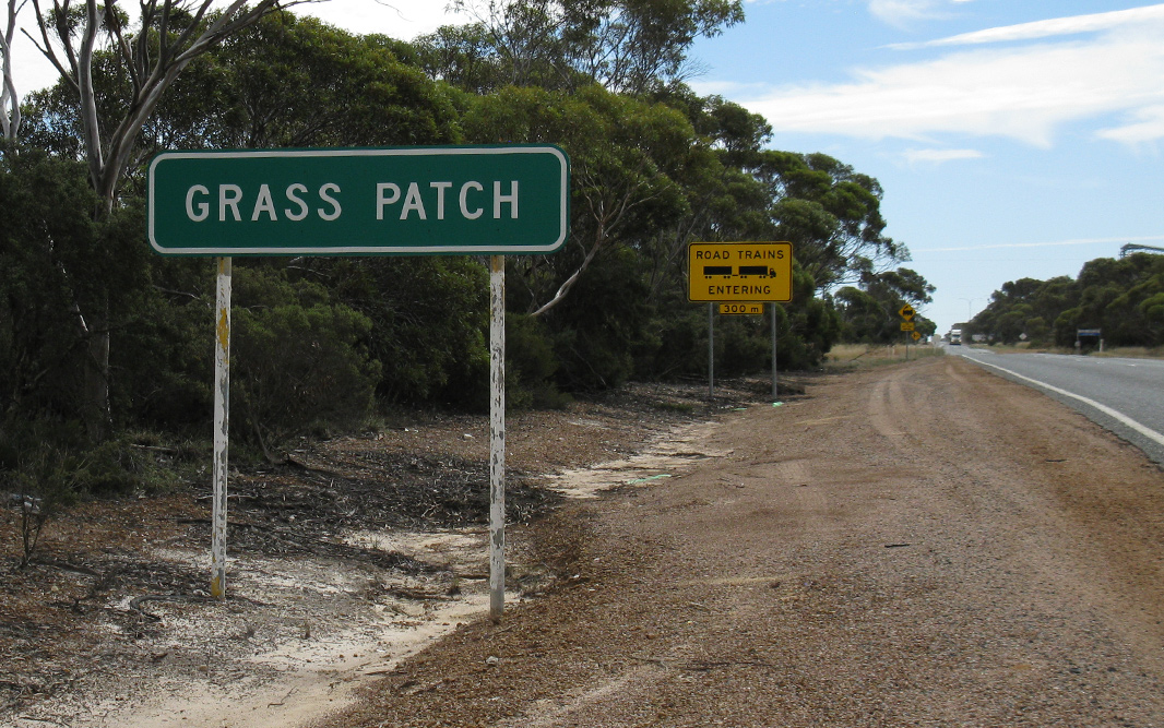
Services Sign: Services sign at Grass Patch, April 2018. Image © Paul Rands |
|
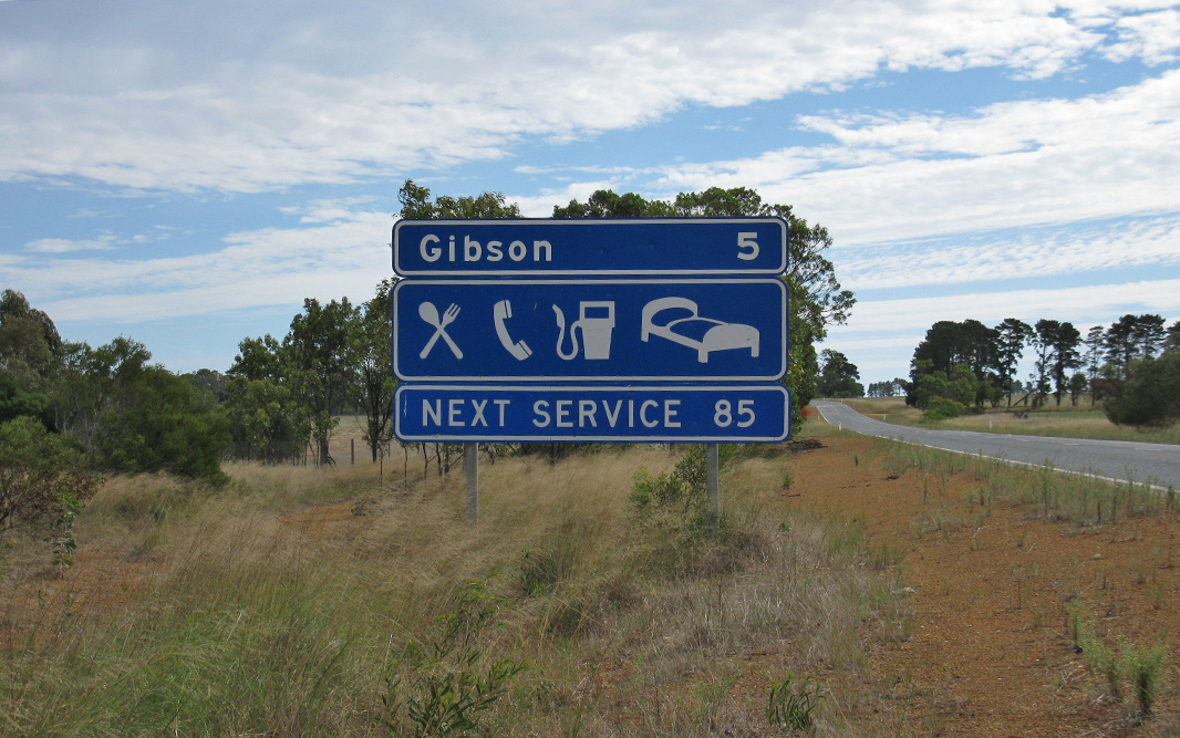 |
Services Sign: Services sign on Coolgardie-Esperance Hwy (NR1) at Gibson, April 2018. Image © Paul Rands |
 |
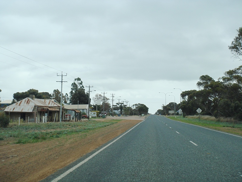
Entering Salmon Gums: Coolgardie-Esperance Hwy (NR1) entering the town of Grass Patch, April 2018. Image © Paul Rands |
|
 |
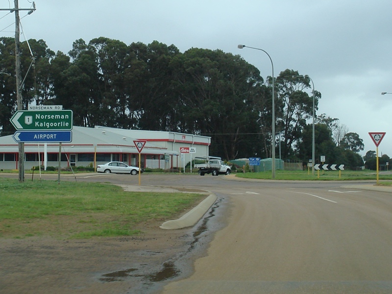
Esperance Airport Entrance: Coolgardie-Esperance Hwy (NR1) at the entance with Esperance Airport at Gibson, April 2018. Image © Paul Rands |
 |
Advance Directional Sign: AD sign at Grass Patch approaching Willis Street, April 2018. Image © Paul Rands |
|
 |
Esperance Airport Entrance: Coolgardie-Esperance Hwy (NR1) at the entance with Esperance Airport at Gibson, April 2018. Click here for a photo of this location by Paul Rands from September 2009. Image © Paul Rands |
 |
Grass Patch: Coolgardie-Esperance Hwy (NR1) passing through the town of Grass Patch, April 2018. Image © Paul Rands |
|
 |
Fingerboards: Fingerboards facing the entrance to Espreance Airport at Gibson, April 2018. Image © Paul Rands |
 |
Reassurance Directional Sign: Distance sign at Grass Patch, April 2018. Image © Paul Rands |
|
 |
Entering Gibson: Coolgardie-Esperance Hwy (NR1) as it enters the town of Gibson, April 2018. Click here for a photo of this location by Paul Rands from September 2009. Image © Paul Rands |
 |
Services Distance Sign: Services distance sign at Scaddan, April 2018. Click here for a photo of this location by Paul Rands from September 2009. Image © Paul Rands |
|
 |
Gibson: Coolgardie-Esperance Hwy (NR1) passing through the town of Gibson, April 2018. Image © Paul Rands |
 |
Entering Scaddan: Coolgardie-Esperance Hwy (NR1) as it enters the town of Scaddan, April 2018. Image © Paul Rands |
|
 |
Distance Sign: RD sign leaving Gibson, April 2018. Click here for a photo of this location by Paul Rands from September 2009. Image © Paul Rands |
 |
Anderson Street: Corner of Coolgardie-Esperance Hwy (NR1) and Anderson St in Scaddan, April 2018. Image © Paul Rands |
|
 |
Services Sign: Services distance sign near Scaddan, April 2018. Image © Paul Rands |
 |
Distance Sign: RD sign at Scaddan, April 2018. Image © Paul Rands |
|
 |
Approaching Scaddan Road: Coolgardie-Esperance Hwy (NR1) as it approaches Scaddan Rd in Scaddan, September 2009. Image © Paul Rands |
 |
Services Sign: Services sign on Coolgardie-Esperance Hwy (NR1) at Gibson, April 2018. Image © Paul Rands |
|
 |
Entering Scaddan: Coolgardie-Esperance Hwy (NR1) as it enters the town of Scaddan, April 2018. Click here for a photo of this location by Paul Rands from September 2009. Image © Paul Rands |
 |
Entering Gibson: Coolgardie-Esperance Hwy (NR1) as it enters the town of Gibson, April 2018. Image © Paul Rands |
|
 |
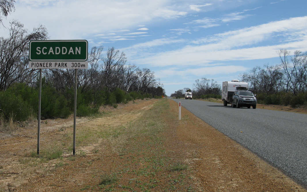
Intersection Directional Sign: ID sign on Coolgardie-Esperance Hwy (NR1) at the entrace to Pioneer Park in Scaddan, September 2009. Image © Paul Rands |
 |
Distance Sign: RD sign leaving Gibson, April 2018. Image © Paul Rands |
|
 |
Anderson Street: Corner of Coolgardie-Esperance Hwy (NR1) and Anderson St in Scaddan, April 2018. Image © Paul Rands |
 |
Esperance Airport Entrance: Coolgardie-Esperance Hwy (NR1) at the entance with Esperance Airport at Gibson, April 2018. Image © Paul Rands |
|
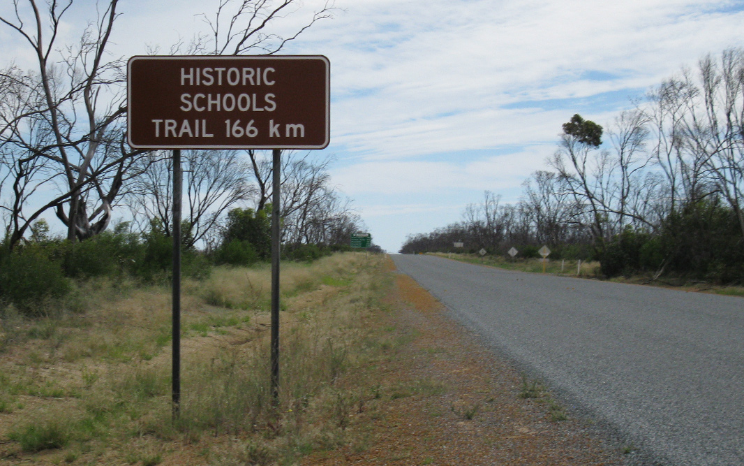 |
Historic Schools Trail: Sign on Coolgardie-Esperance Hwy (NR1) in Scaddan indicating the route forms part of the Historic Schools Trail, April 2018. Click here for a photo of this location by Paul Rands from September 2009. Image © Paul Rands |
 |
Services Sign: Services sign on South Coast Hwy (NR1) at Castletown, a suburb of Esperance, April 2018. Image © Paul Rands |
|
 |
Distance Sign: RD sign at Scaddan, April 2018. Click here for a photo of this location by Paul Rands from September 2009. Image © Paul Rands |
 |
advance Directional Sign: AD sign at Castletown, approaching South Coast Hwy (NR1), Norseman Rd and Fisheries Rd, April 2018. NR1 turns right at this junction. Image © Paul Rands |
|
 |
Services Sign: Services sign on Coolgardie-Esperance Hwy (NR1) at Grass Patch, April 2018. Image © Paul Rands |
 |
Intersection Directional Sign: ID sign on the corner of South Coast Hwy (NR1) and Coolgardie-Esperance Hwy (NR1), Norseman Rd and Fisheries Rd at Castletown, April 2018. Image © Paul Rands |
|
 |
Advance Directional Sign: AD sign on Coolgardie-Esperance Hwy (NR1) at Grass Patch, approaching Mallee Memorial Park, April 2018. Image © Paul Rands |
 |
Intersection Directional Sign: ID sign on the corner of South Coast Hwy (NR1) and Coolgardie-Esperance Hwy (NR1), Norseman Rd and Fisheries Rd at Castletown, April 2018. Image © Paul Rands |
|
 |
Entering Grass Patch: Town name sign as Coolgardie-Esperance Hwy (NR1) enters the town of Grass Patch, April 2018. Image © Paul Rands |
 |
Advance Directional Sign: AD sign on Fisheries Rd, Castletown approaching Coolgardie-Esperance Hwy (NR1), South Coast Hwy (NR1) and Norseman Rd, April 2018. Image © Paul Rands |
|
 |
Grass Patch: Coolgardie-Esperance Hwy (NR1) in the town centre of Grass Patch, September 2009. Image © Paul Rands |
 |
Intersection Directional Sign: ID sign on the corner of South Coast Hwy (NR1) and Coolgardie-Esperance Hwy (NR1), Norseman Rd and Fisheries Rd at Castletown, April 2018. Image © Paul Rands |
|
 |
Distance Sign: RD sign on Coolgardie-Esperance Hwy (NR1) as you leave Grass Patch, April 2018. Click here for a photo of this location by Paul Rands from September 2009. Image © Paul Rands |
 |
Intersection Directional Sign: ID sign on the corner of South Coast Hwy (NR1) and Coolgardie-Esperance Hwy (NR1), Norseman Rd and Fisheries Rd at Chadwick, April 2018. Image © Paul Rands |
|
 |
Services Sign: Services sign on Coolgardie-Esperance Hwy (NR1) at Salmon Gums, April 2018. Image © Paul Rands |
 |
Intersection Directional Sign: ID sign on the corner of South Coast Hwy (NR1) and Coolgardie-Esperance Hwy (NR1), Norseman Rd and Fisheries Rd at Chadwick, April 2018. Image © Paul Rands |
|
 |
Road Trains Sign: Road trains sign on Coolgardie-Esperance Hwy (NR1) at Salmon Gums, September 2009. Image © Paul Rands |
 |
Advance Directional Sign: AD sign on Norseman Rd, Chadwick approaching Coolgardie-Esperance Hwy (NR1), South Coast Hwy (NR1) and Fisheries Rd, April 2018. Image © Paul Rands |
|
 |
Entering Salmon Gums: Coolgardie-Esperance Hwy (NR1) as it enters the town of Salmon Gums, April 2018. Click here for a photo of this location by Paul Rands from September 2009. Image © Paul Rands |
 |
Distance Sign: RD sign at Chadwick (Esperance) on South Coast Hwy (Harbour Rd) (NR1), April 2018. Image © Paul Rands |
|
 |
Salmon Gums: Coolgardie-Esperance Hwy (NR1) as it passes through the town of Salmon Gums, September 2009. Image © Paul Rands |
 |
Advance Directional Sign: AD sign at Chadwick approaching Harbour Rd (unnumbered), April 2018. NR1 turns right at this location. Image © Paul Rands |
|
 |
Distance Sign: RD sign at Salmon Gums, April 2018. Click here for a photo of this location by Paul Rands from September 2009. Image © Paul Rands |
 |
Advance Directional Sign: AD sign at Chadwick on Harbour Rd (unnumbered) approaching South Coast Hwy (NR1) and Harbour Rd (NR1), April 2018. Image © Paul Rands |
|
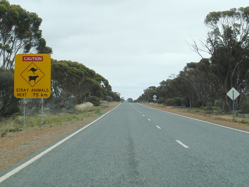 |
Animal Warning Sign: Sign warning of animals on the road, Salmon Gums, September 2009. Image © Paul Rands |
 |
Intersection Directional Sign: ID sign at the corner of South Coast Hwy (NR1), Harbour Rd (NR1 and unnumbered) at Chadwick, April 2018. Image © Paul Rands |
|
 |
Lake King-Norseman Road: Corner of Coolgardie-Esperance Hwy (NR1) and Lake King-Norseman Rd at Salmon Gums, April 2018. Image © Paul Rands |
 |
Intersection Directional Sign: ID sign at the corner of South Coast Hwy (NR1), Harbour Rd (NR1 and unnumbered) at Chadwick, April 2018. Image © Paul Rands |
|
 |
Welcome to The Shire of Dundas: Coolgardie-Esperance Hwy (NR1) as it enters the Shire of Dundas local government area, September 2009. Image © Paul Rands |
 |
Distance Sign: RD sign at Chadwick (Esperance) on South Coast Hwy (NR1), April 2018. Click here for a photo of this location by Paul Rands from September 2009. Image © Paul Rands |
|
 |
Approaching Level Crossing: Coolgardie-Esperance Hwy (NR1) at Dundas approaching the level crossing, September 2009. Image © Paul Rands |
|||
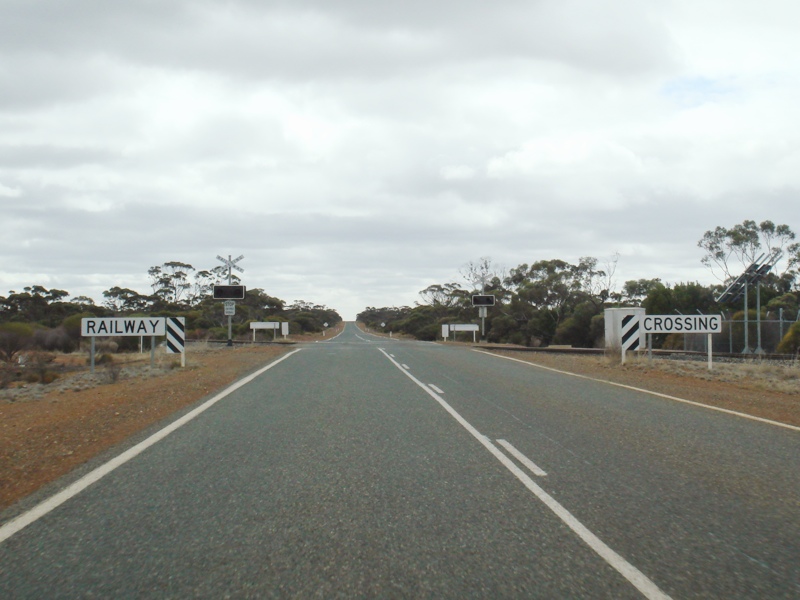 |
Level Crossing: Level crossing on Coolgardie-Esperance Hwy (NR1) at Dundas, September 2009. Image © Paul Rands |
|||
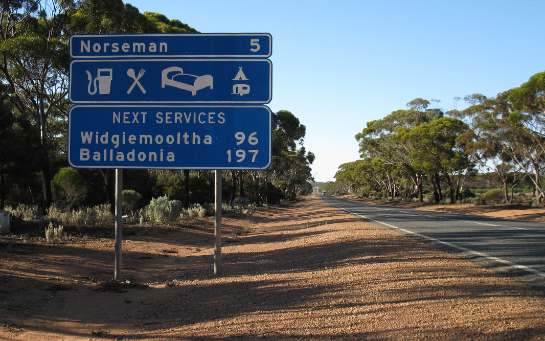 |
Services Sign: Services sign on the outskirts of Norseman, April 2018. Image © Paul Rands |
|||
 |
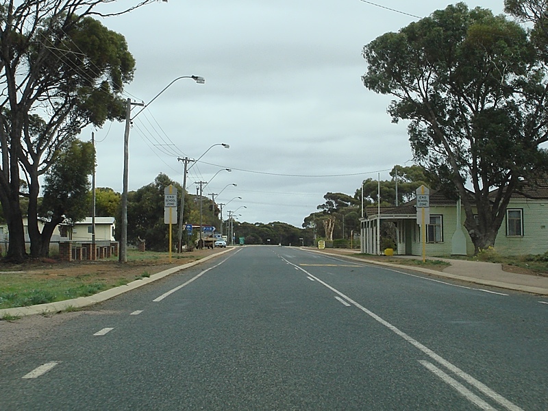
Entering Norseman: Coolgardie-Esperance Hwy (NR1) as it enters the town of Norseman, September 2009. Image © Paul Rands |
|||
 |
Welcome Signs: Welcome signs erected along the edge of Coolgardie-Esperance Hwy (NR1) at Norseman, September 2009. Image © Paul Rands |
|||
 |
Level Crossing: Northbound approaching Crampton Street at Norseman, as you cross the railway line. December 2007. Image © Paul Rands |
|||
 |
Talbot Street: Coolgardie-Esperance Hwy (NR1) (Prinsep St) in Norseman at the junction with Talbot St, September 2009. Image © Paul Rands |
|||
 |
Sinclair St: Coolgardie-Esperance Hwy (NR1) (Prinsep St) in Norseman at the junction with Sinclair St, September 2009. Image © Paul Rands |
|||
 |
Advance Directional Sign: AD at Norseman approaching Eyre Hwy (NH1) and Coolgardie-Esperance Hwy (NH94), November 2012. Image © Brendan Cherry |
|||
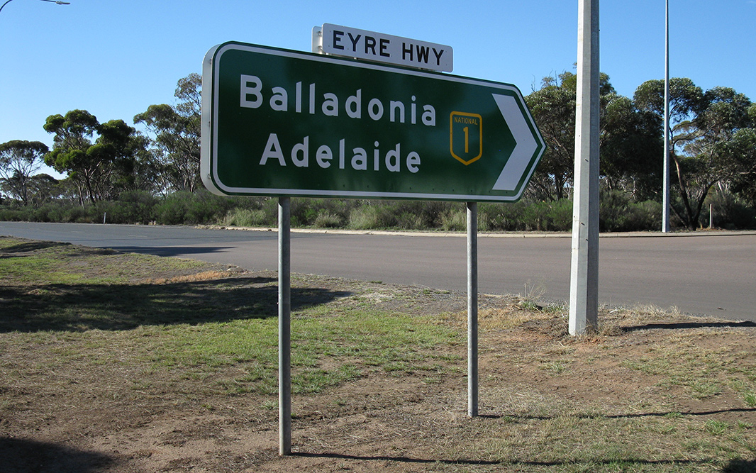 |
National Route 1 Terminus: The end of NR1, corner of Eyre Hwy (NH1) and Coolgardie-Esperance Hwy (NH94) in Norseman, April 2018. Image © Paul Rands |
|||
| Click here for the continuation of NR1 between Esperance and Ravensthorpe Click here for National Highway 1 (Eyre Highway) between Norseman and SA Border Click here for the continuation of Coolgardie-Esperance Highway as National Highway 94 |
||||
1 Main Roads Western Australia
2 Government of Western Australia, Media Statements, Works Infrastructure Pty Ltd win contract for Coolgardie-Esperance Highway roadwork, 31 January 2000
3 State Records Office of Western Australia
4 Government of Western Australia, Ministerial Media Statements, $1.6million Coolgardie-Esperance Highway intersection upgrade, 24 March 2010
5 Government of Western Australia, Media Statements, Goldfields-Esperance road safety improved, 10 February 2015
Last updated: 22-Jul-2020 23:15
This site © Paul Rands. All rights reserved. Some portions © (copyright) by their respective and credited owners. Permission must be obtained before using any images from this site. For details, please email by clicking here.