|
|
|
|
|
| C612 | Bonang Road (C612) |
Statistics:
Route Numbering:


General Information:
Formally Bonang Highway, C612 is a rural route linking the Snowy River town of Orbost with the ranges to the north of the town and eventually the NSW-Vic border. The route is narrow and windy, and passes through some of the country's most picturesque regions.
The road was established to allow access for people going to the gold mining in the Bendoc area south of Delegate after 1852, and as an access road for logging and other forestry activities in the late nineteenth and early twentieth centuries. 2
Multiplexes along the route include:
History:

| Orbost to NSW Border | NSW Border to Orbost | |||
| Preview: | Description: | Preview: | Description: | |
 |
Advance Directional Sign: AD sign on Lochiel St (C612 / TD81) approaching Nicholson St (C612 / TD6 / TD81) and Marlo Rd (C107) at Orbost, May 2011. Image © Paul Rands |
 |
Scott Street & Nicholson Street: Bonang Rd (C612 / TD81) (Scott St) at the junction with Nicholson St (C612 / TD6 / TD81), Nicholson St (unnumbered) and Scott St (TD6) at Orbost, May 2011. C612 turns left and the TD6 multiplex starts at this location. Image © Paul Rands |
|
 |
Marlo Road & Nicholson Street: Corner of Lochiel St (C612 / TD81), Nicholson St (C612 / TD6 / TD81) and Marlo Rd (C107) at Orbost, May 2011. C612 turns right and picks up the TD6 multiplex at this location. Image © Paul Rands |
 |
Advance Directional Sign: AD sign approaching Salisbury St at Orbost, May 2011. Image © Paul Rands |
|
 |
Start Tourist Drive 6: Sign indicating start of the Diamond Creek Falls Tourist Drive (TD6) on Nicholson St in Orbost, May 2011. Image © Paul Rands |
 |
Advance Directional Sign: AD sign on Nicholson St (C612 / TD6 / TD81) approaching Lochiel St (C612 / TD81) and Marlo Rd (C107) at Orbost, May 2011. Image © Paul Rands |
|
 |
Orbost: C612 passing through the town of Orbost, May 2011. Image © Paul Rands |
 |
Marlo Road & Lochiel Street: Corner of Nicholson St (C612 / TD6 / TD81), Lochiel St (C612 / TD81) and Marlo Rd (C107) at Orbost, May 2011. C612 turns left and the TD6 multiplex ends at this location. Image © Paul Rands |
|
 |
Orbost: C612 passing through the town of Orbost, May 2011. Image © Paul Rands |
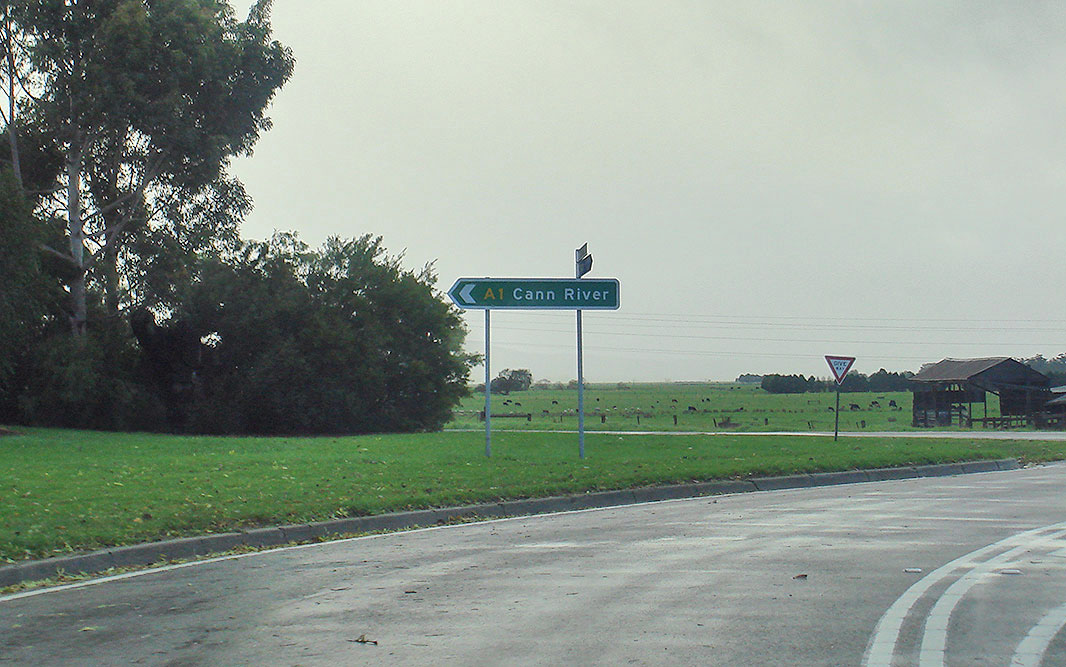 |
Intersection Directional Sign: ID sign facing Lochiel St (C612) at Orbost where it meets Princes Hwy (A1), May 2011. Image © Paul Rands |
|
 |
Salisbury Street: Corner of Nicholson St (C612 / TD6 / TD8) and Salisbury St in Orbost, May 2011. Image © Paul Rands |
 |
Intersection Directional Sign: ID sign facing Lochiel St (C612) at Orbost where it meets Princes Hwy (A1), December 2013. Image © Michael Greenslade |
|
 |
Intersection Directional Sign: ID sign assembly at the corner of Nicholson St (C612) and Salisbury St in Orbost, January 2017. Image © Huang-Milton Collection |
|||
 |
Scott Street & Nicholson Street: Nicholson St (C612 / TD6 / TD81) at the junction with Nicholson St (unnumbered), Scott St (TD6) and Bonang Rd (C612 / TD81) (Scott St) at Orbost, May 2011. C612 turns right and the TD6 multiplex ends at this location. Image © Paul Rands |
|||
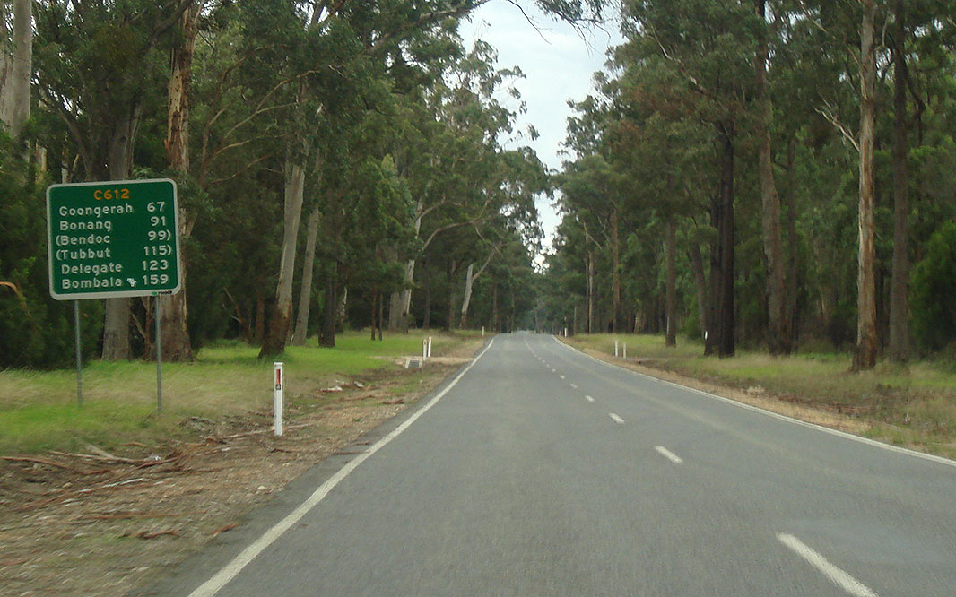 |
Reassurance Directional Sign: Distance sign at Orbost, May 2011. Image © Paul Rands |
|||
 |
Snowy River Country Trail Sign: Tourism sign at Orbost showing route of Snowy River Country Trail (TD81) which duplexes part of C612, May 2011. Image © Paul Rands |
|||
 |
No Fuel Sign: Sign at Orbost indicating fuel is not available at Bonang, May 2011. Image © Paul Rands |
|||
1 VicRoads Road Maintenance Category - Road List Version 1, September 2012
2 Bendoc Historic Loop Drive, Department of Sustainability and Environment - Victoria, July 2008
3 Ozroads, Monaro Highway, Former Alignment: Bombala to Delegate River
Last updated: 19-Aug-2020 0:42
This site © Paul Rands. All rights reserved. Some portions © (copyright) by their respective and credited owners. Permission must be obtained before using any images from this site. For details, please email by clicking here.