
| B32 | East Derwent Highway (B32) |
Statistics:
Route Numbering:
General Information:
B32 is an arterial route that parallels the eastern banks of the Derwent River in Hobart. It is a mix of divided and undivided road which passes through residential, commercial, and bushland areas.
History:
| Bridgewater to Rose Bay | |
Rose Bay to Bridgewater | ||
| Preview: | Description: | |
Preview: | Description: |
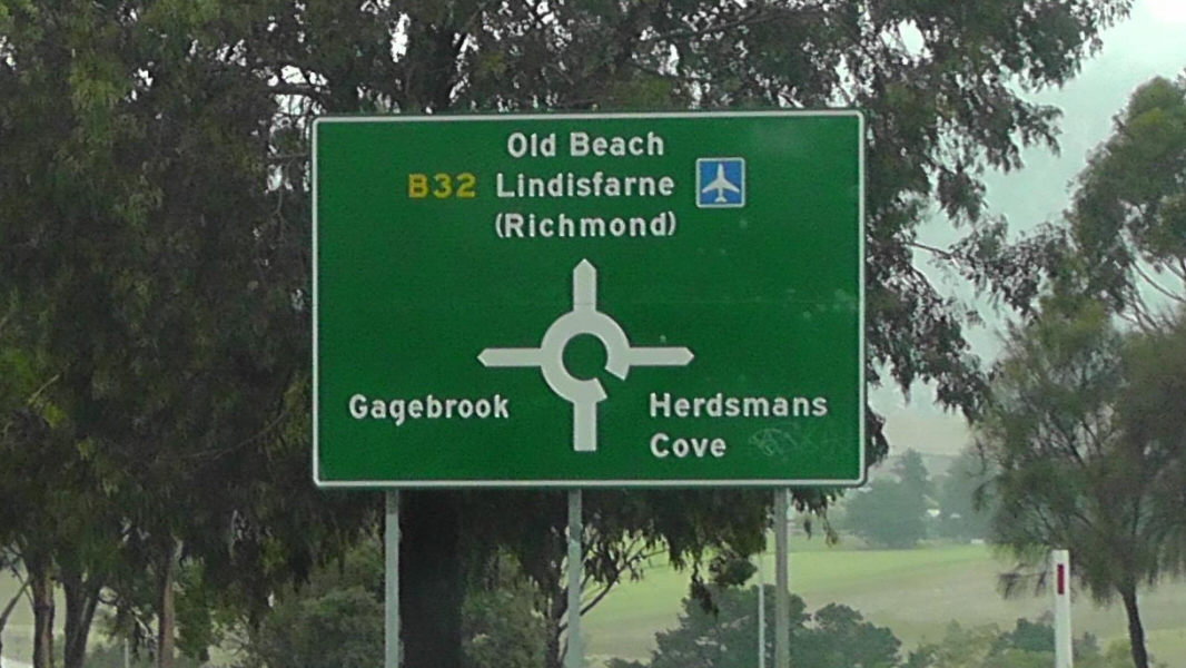 |
Advance Directional
Sign: AD sign at Gagebrook approaching Old Beach Rd, March 2016. Image © Garry Coxhead |
|
 |
Reassurance
Directional Sign: Distance sign near Goodwood Rd at Risdon, 2008. Image © Jamie Scuglia |
| |
 |
Advance
Directional Sign: AD sign approaching Midland Hwy (NH1) at Bridgewater, 2008. Image © Jamie Scuglia |
||
1 Local
Government Association Tasmania, LGAT News, September 2011
2 Department of State Growth,
Transport, Roads and Traffic, Road Projects, Tasman / East Derwent Highway
Interchange Improvements, Latest News, retreived 30 June 2016
Last updated: 17-Jul-2020 18:03
This site © Paul Rands. All rights reserved. Some portions © (copyright) by their respective and credited owners. Permission must be obtained before using any images from this site. For details, please email by clicking here.