|
|
|
|
|
| B12 | Mallee Highway (B12) |
Statistics:
Route Numbering:

General Information:
B12 is a two-lane rural route linking the grain-growing and sheep-farming Murray-Mallee area with Adelaide and country Victoria.
Multiplexes along the route include:
History:

| Victoria Border to Tailem Bend | Tailem Bend to Victoria Border | |||
| Preview: | Description: | Preview: | Description: | |
 |
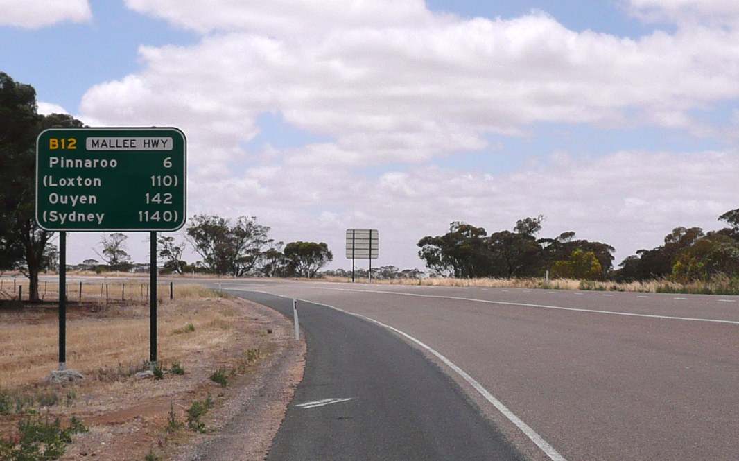
Reassurance Directional Sign: Distance sign at Pinnaroo, January 2014. Image © Michael Greenslade |
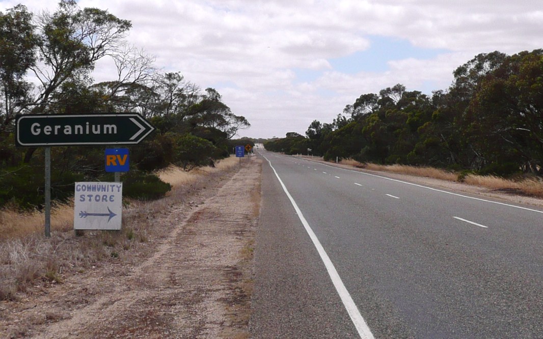 |
Black Intersection Directional Sign: Black ID sign at Geranium at the junction with Geranium North Rd and Geranium Tce, January 2014. Image © Michael Greenslade |
|
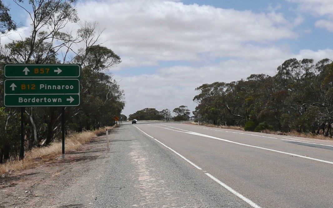 |
Advance Directional Sign: AD sign at Pinnaroo approaching Ngarkat Hwy (B57), January 2014. Image © Michael Greenslade |
|||
 |
Ngarkat Highway: Corner of Mallee Hwy (B12) and Ngarkat Hwy (B57) at Pinnaroo, January 2014. The B57 duplex starts at this location. Image © Michael Greenslade |
|||
 |
Reassurance Directional Sign: Distance sign at Pinnaroo, after Ngarkat Hwy (B57) intersection, January 2014. Image © Michael Greenslade |
|||
| Click here for the continuation of B12 in Victoria | ||||
1 Government of South Australian, State Route Numbers Map, May 2003
Last updated: 04-Jan-2020 10:33
This site © Paul Rands. All rights reserved. Some portions © (copyright) by their respective and credited owners. Permission must be obtained before using any images from this site. For details, please email by clicking here.