|
|
|
|
|
| A5 | Anzac Highway (A5) |
Statistics:
Route Numbering:
General Information:
Anzac Highway is a major arterial route that links the Adelaide CBD with the west coast at Glenelg, as well as several inner western Adelaide suburbs. The route is divided with at least 2 lanes in each direction.
History:

| Adelaide to Glenelg North | |
Glenelg North to Adelaide | ||
| Preview: | Description: | |
Preview: | Description: |
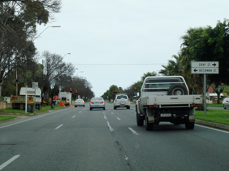 |
Approaching Gray Street and Beckman Street: Looking southwest on Anzac Hwy in Glandorf as you approaching Gray St and Beckman St, September 2009. Image © Paul Rands |
|
 |
Advance Directional Sign: AD sign at Kurralta Park approaching South Rd (A13), December 2010. Image © Michael Greenslade |
 |
Approaching Marion Road: Looking southwest as you approach Marion Road (A14) at Plympton, September 2009. Image © Paul Rands |
|
 |
Anzac Highway / South Road: Anzac Hwy (A5) passing over South Rd (A13) at Kurralta Park, December 2010. Image © Michael Greenslade |
1 Transport SA, State Route Numbers map, Metropolitan Region, May 2003
2 Office of the Premier of South Australia, South Road underpass to be named in honor of Gallipoli, 15 March 2009
3 Department of Transport, Energy & Transport, Gallipoli Underpass, Project Overview, 9 October 2009
4 Department of Transport, Energy & Transport, Gallipoli Underpass, Project News, 9 October 2009
Last updated: 24 Sep 2019 19:58
This site © Paul Rands. All rights reserved. Some portions © (copyright) by their respective and credited owners. Permission must be obtained before using any images from this site. For details, please email by clicking here.