|
|
|
|
|
| Oxley Road & Blunder Road (State Route 35) |
Statistics:
Route Numbering:
General Information:
State route 35 is a suburban arterial road servicing residential, commercial and industrial suburbs in Brisbane's south. The route is multi-laned it's entire length and divided for most of its length south of Oxley.
History:

| Heathwood to Sherwood | Sherwood to Heathwood | |||
| Preview: | Description: | Preview: | Description: | |
 |
Intersection Directional Sign : ID sign assembly on the interchange with Ipswich Mwy (M7) at Oxley, March 2012. Image © Paul Rands |
 |
Intersection Directional Sign : ID sign facing the unnumbered section of Sherwood Rd at Sherwood, March 2012. Image © Paul Rands |
|
 |
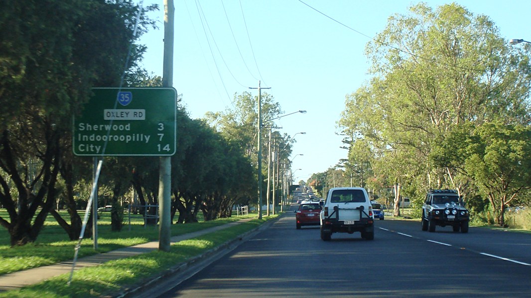
Advance Directional Sign : AD sign at Oxley, apporaching the roundabout with Oxley Station Rd, March 2012. Image © Paul Rands |
|||
 |
Oxley Station Road : Corner of Oxley Rd (SR35) and Oxley Stn Rd at Oxley, March 2012. Image © Paul Rands |
|||
 |
Oxley Station Road : Corner of Oxley Rd (SR35) and Oxley Stn Rd at Oxley, March 2012. Image © Paul Rands |
|||
 |
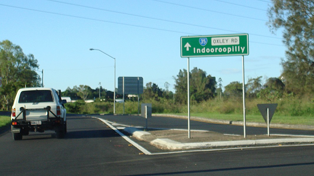
Reassurance Directional Sign : Distance sign at Oxley, March 2012. Image © Paul Rands |
|||
 |
Entering Corinda : Oxley Rd (SR35) entering the suburb of Corinda, March 2012. Image © Paul Rands |
|||
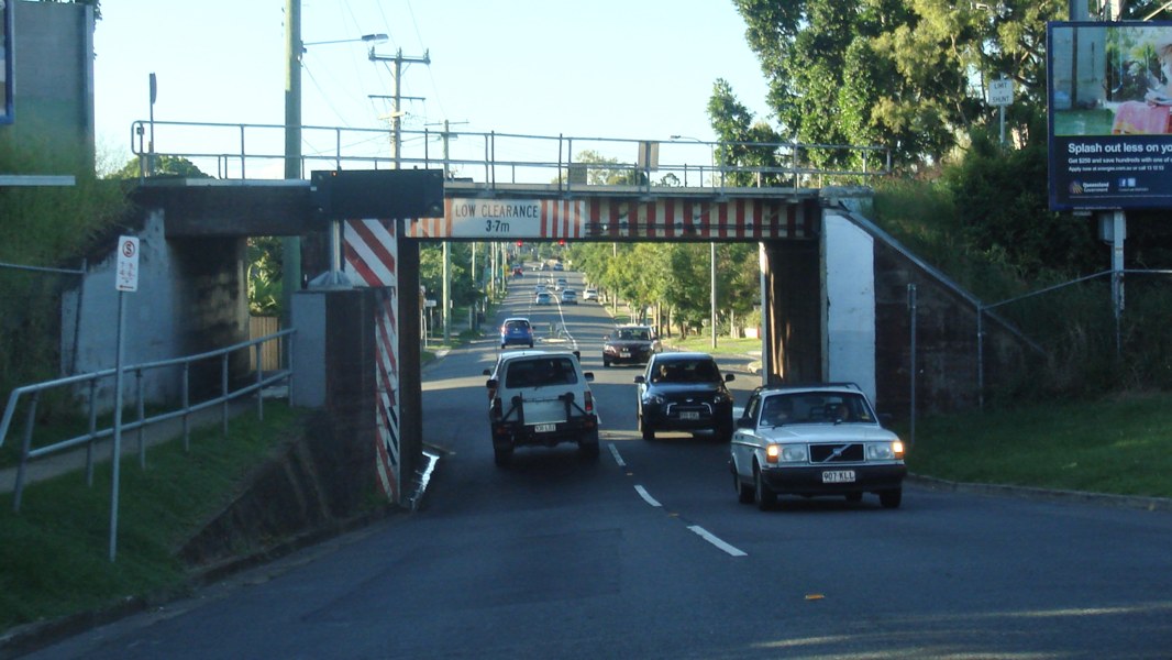 |
Corinda: Oxley Rd (SR35) as it passes under the railway line at Corinda, March 2012. Image © Paul Rands |
|||
 |
Entering Sherwood : Oxley Rd (SR35) as it enters the suburb of Sherwood, March 2012. Image © Paul Rands |
|||
 |
Advance Directional Sign : AD sign at Sherwood approaching the SR20 section of Oxley Rd and Sherwood Rd (SR20), March 2012. Image © Paul Rands |
|||
1 Brisbane Times, South-east Queensland transport infrastructure rollout since 1975, 6 Jul 2010
2 Brisbane City Council, Oxley Road And Clewley Street Intersection Upgrade Community Newsletter 2, October 2011
Last updated: 11-Nov-2018 17:28
This site © Paul Rands. All rights reserved. Some portions © (copyright) by their respective and credited owners. Permission must be obtained before using any images from this site. For details, please email by clicking here.