|
|
|
|
|
| Isis Highway, Hinkler Avenue, Mount Perry Road & Bundaberg-Gin Gin Road (State Route 3) |
Statistics:
Route Numbering:

General Information:
According to several 1960s Shell and Caltex maps, State Route 3 is a former alignment of National Route 1. The route now acts as a link between Bundaberg and Bruce Highway and consists mostly of rural highway standard, except in Bundaberg, where it's a multi-laned suburban arterial road.
The road services rural, residential, commercial and industrial areas. It directly passes Bundaberg Airport as well as a number of sugar cane farms.
History:
Click here for the former highway alignment over Burnett River.

| Apple Tree Creek to Gin Gin | Gin Gin To Apple Tree Creek | |||
| Preview: | Description: | Preview: | Description: | |
 |
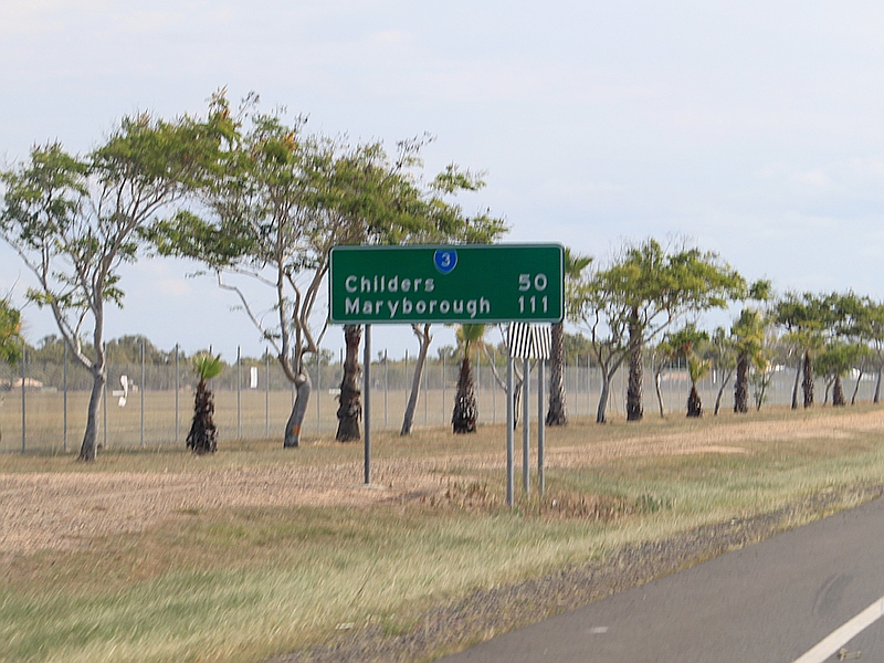
Distance
Sign: RD sign at Apple Tree Creek within the interchange with Bruce Hwy (M1), December 2009. Image © Rob Tilley |
 |
Intersection
Directional Sign: ID sign at the roundabout with Hinkler Av (SR3), Mt Perry Rd (SR3) and the unnumbered sections of Mt Perry Rd and Hinkler Av at North Bundaberg, June 2010. Image © Rob Tilley |
|
 |
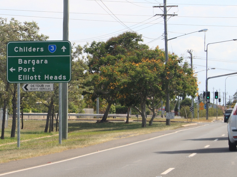
Advance
Directional Sign: AD sign at Apple Tree Creek approaching Kevin Livingstone Dr, December 2009. Image © Rob Tilley |
 |
Advance
Directional Sign: AD sign at Bundaberg on Hinkler Av (SR3) approaching Isis Hwy (SR3), Bourbong St and Mulgrave St, December 2009. Image © Rob Tilley |
|
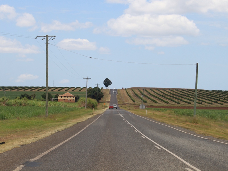 |
Apple
Tree Creek: Isis Hwy (SR3) as it passes through sugar cane farms at Apple Tree Ck, December 2009. Image © Rob Tilley |
 |
Hinkler
Avenue, Isis Highway, Bourbong Street & Mulgrave Street: ID sign at Bundaberg at the junction with Hinkler Av (SR3), Isis Hwy (SR3), Bourbong St and Mulgrave St, December 2009. Image © Rob Tilley |
|
 |
Cane
Level Crossing Sign: Sign indicating a number of cane railway crossings ahead for next 9 km, Apple Tree Creek, March 2006. Image © Paul Rands |
 |
Advance
Directional Sign: AD sign at Bundaberg West approaching Walker St, December 2009. Image © Rob Tilley |
|
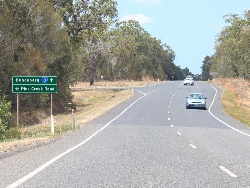 |
Advance
Directional Sign: AD sign at Pine Creek approaching Pine Creek, December 2009. Image © Rob Tilley |
 |
Advance
Directional Sign: AD sign at Svensson Heights approaching Johanna Dr, Heidke St, Kendalls Rd and Bundaberg Airport, December 2009. Image © Rob Tilley |
|
 |
Intersection
Directional Sign: ID sign assembly at the corner of Isis Hwy (SR3) and Pine Ck Rd at Pine Ck, December 2009. Image © Rob Tilley |
 |
Distance
Sign: RD sign on Isis Hwy (SR3) at Kensington, December 2009. Image © Rob Tilley |
|
 |
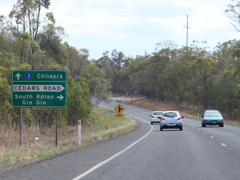
Advance
Directional Sign: AD sign at South Bingera approaching Cedars Rd, March 2006. Image © Paul Rands |
 |
Advance
Directional Sign: AD sign at Kensington approaching Ring Rd, December 2009. Image © Rob Tilley |
|
 |
Advance
Directional Sign: AD sign at South Bingera approaching Kingswood Way, December 2009. Image © Rob Tilley |
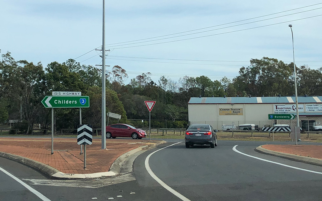 |
Intersection
Directional Signs: ID signs at on Ring Rd at Kensington approaching Isis Hwy (SR3) (Childers Rd), June 2019. Image © Dean Sherry |
|
 |
Advance
Directional Sign: AD sign at Branyan approaching Parkes Tate Dr, December 2009. Image © Rob Tilley |
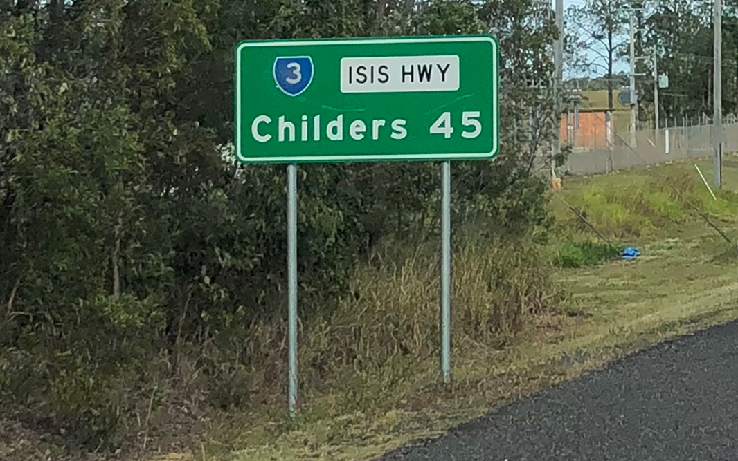 |
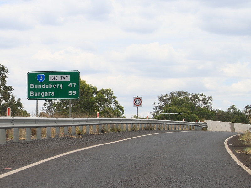
Distance
Sign: RD sign as Isis Hwy (SR3) leaves Kensington, June 2019. Click here for a photo of this location by Rob Tilley from December 2009. Image © Dean Sherry |
|
 |
Advance
Directional Sign: AD sign at Branyan approaching Kingston Town Way and Nicholl Rd, December 2009. Image © Rob Tilley |
 |
Advance
Directional Sign: AD sign approaching Bonna Rd at Kensington, December 2009. Image © Rob Tilley |
|
 |
Advance
Directional Sign: AD sign at Branyan approaching Palamino Av, December 2009. Image © Rob Tilley |
 |
Advance
Directional Sign: AD sign approaching Palomino Av in Kensington, December 2009. Image © Rob Tilley |
|
 |
Advance
Directional Sign: AD sign approaching Bonna Rd at Branyan, December 2009. Image © Rob Tilley |
 |
Advance
Directional Sign: AD sign approaching Kingston Town Way and Nicholl Rd at Kensington, December 2009. Image © Rob Tilley |
|
 |
Advance
Directional Sign: AD sign at Branyan approaching Cummins Rd, December 2009. Image © Rob Tilley |
 |
Advance
Directional Sign: AD sign approaching Parkes Tate Dr at Kensington, December 2009. Image © Rob Tilley |
|
 |
Advance
Directional Sign: AD sign at Branyan approaching Ring Road, December 2009. Image © Rob Tilley |
 |
Advance
Directional Sign: AD sign approaching Kingswood Way at South Bingera, December 2009. Image © Rob Tilley |
|
 |
Distance
Sign: RD sign at Branyan after the Ring Rd junction, December 2009. Image © Rob Tilley |
 |
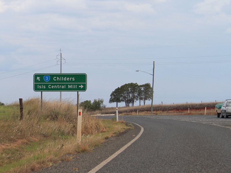
Advance
Directional Sign: AD sign approaching Cedars Rd at Pine Ck (TD3), December 2009. Image © Rob Tilley |
|
 |
Entering
Greater Bundaberg: Bundaberg welcome sign at Avoca, near Bundaberg airport, December 2009. Image © Rob Tilley |
 |
Advance
Directional Sign: AD sign at Pine Creek approaching Pine Creek Rd, December 2009. Image © Rob Tilley |
|
 |
Advance
Directional Sign: AD sign at Millbank approaching Enterprise St, December 2009. Image © Rob Tilley |
 |
Advance
Directional Sign: AD sign at Apple Tree Creek approaching Kevin Livingstone Dr, December 2009. Image © Rob Tilley |
|
 |
Advance
Directional Sign: AD sign at Millbank approaching Walker St, December 2009. Image © Rob Tilley |
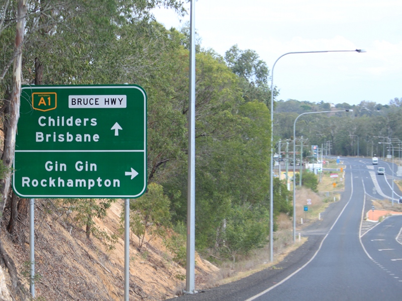 |
Advance
Directional Sign: AD sign at Apple Tree Creek approaching the Bruce Hwy (A1) interchange, December 2009. Image © Rob Tilley |
|
 |
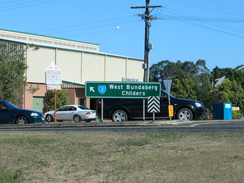
Advance
Directional Sign: AD sign at Bundaberg approaching Hinkler Av (SR3), Bourbong St and Mulgrave St, December 2009. Click here for a photo from March 2006 of the previous sign. Image © Rob Tilley |
 |
End
State Route 3: End SR3 sign at the junction with Bruce Hwy (A1) at Apple Tree Ck, December 2009. Image © Rob Tilley |
|
 |
Hinkler
Avenue, Bourbong Street & Mulgrave Street: ID sign at Bundaberg at the junction with Hinkler Av (SR3), Bourbong St and Mulgrave St, December 2009. Image © Rob Tilley |
|||
 |
Distance
Sign: RD sign on Hinkler Av (SR3) next to the Tallon Bridge over Burnett River, December 2009. Image © Rob Tilley |
|||
 |
Tallon
Brige: Hinkler Av (SR3) as it crosses Burnett River via Tallon Bridge, March 2006. Image © Paul Rands |
|||
 |
Advance
Directional Sign: AD sign on Hinkler Av (SR3) approaching Mt Perry Rd (SR3) and the unnumbered sections of Mt Perry Rd and Hinkler Av at North Bundaberg, March 2006. Image © Paul Rands |
|||
 |
Intersection
Directional Sign: ID sign at the roundabout with Hinkler Av (SR3), Mt Perry Rd (SR3) and the unnumbered sections of Mt Perry Rd and Hinkler Av at North Bundaberg, June 2010. Image © Rob Tilley |
|||
 |
Distance
Sign: RD sign at North Bundaberg on Mt Perry Rd, June 2010. Image © Rob Tilley |
|||
 |
Advance
Directional Sign: AD sign on Mt Perry Rd approaching Moore Pk Rd, June 2010. Image © Rob Tilley |
|||
 |
Distance
Sign: Reassurance directional sign on Bundaberg-Gin Gin Rd (SR3) at North Bundaberg, June 2010. Image © Rob Tilley |
|||
 |
Advance
Directional Sign: AD sign at Oakwood approaching Rosedale Rd, June 2010. Image © Rob Tilley |
|||
 |
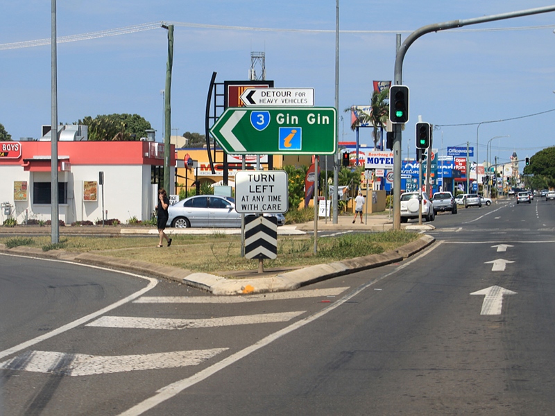
Rosedale
Road: Corner of Bundaberg-Gin Gin Rd (SR3) and Rosewood Rd at Oakwood, June 2010. Image © Rob Tilley |
|||
1 Transport
and Main Roads, Queensland state-controlled roads and region maps, Wide Bay/Burnett Region: front
2 Bundaberg State School, Don Tallon
3 Australian Travelling, Bundaberg Culture
4 Queensland Government,
Ministerial Media Statements, New Wagners Gully bridge opens to traffic, 03 July
2009
Last updated: 07-Jul-2020 11:12
This site © Paul Rands. All rights reserved. Some portions © (copyright) by their respective and credited owners. Permission must be obtained before using any images from this site. For details, please email by clicking here.