|
|
|
|
|
 |
Deception Bay Road, Anzac Avenue, Elizabeth Avenue, Snook Street, Houghton Highway, Deagon Deviation, Braun Street, Sandgate Road, Abbotsford Road, Markwell Street & St Pauls Terrace (State Route 26) |
Statistics:
Route Numbering:


General Information:
State Route 26 connects the Brisbane CBD with the northern suburbs along the shores of Moreton Bay.
The route is a mix of divided and undivided roadway, and features the Ted Smout Memorial Bridge over Bramble Bay, which parallels the remains of the timber bridge that formed the Hornibrook Highway.
Australia’s longest bridge, the Ted Smout Memorial Bridge is named after Queensland’s longest-surviving World War I veteran, who lived until June 22, 2004 when he died at age of 106. He served until 1919 in France and Belgium. He was awarded the Medal of the Order of Australia in 1978, France’s Legion of Honour in 1979, was made the Australian Citizen of the Year in 1979 and Brisbane’s Citizen of the Year in 2000. 2
The Ted Smout Memorial Bridge has 78 spans at 35.2m per span with a total bridge deck length of 2746 m. Each span consists of eight Super T girders around 35.2 m in length and weight of about 82 t each. Each pier has two 1500 mm diameter cast in situ piles with a load capacity in excess of 1400 t each. 3
James (Jim) Edward Harim Houghton was elected Mayor of Redcliffe in 1955. He held this position for nine years before resigning to become the first Member for Redcliffe in the State Parliament. He resigned from Parliament in 1979. In 1979 the Houghton Highway bridge opened and was named in his honour. 4
The Hornibrook Highway was a 294 span, 2684 m long bridge predominately consisting of a timber superstructure (decking, girders, corbels) supported by a reinforced concrete substructure. The bridge deck was covered by a thin layer of asphalt. The bridge which crossed Bramble Bay was built as a toll bridge by the firm M.R. Hornibrook Pty Ltd. The construction of the bridge provided much needed employment during the 'depression' of the 1930's. When it was constructed, the Hornibrook Highway was the longest road viaduct over water in Australia. 5
Multiplexes along the route include:
History:
Click here for photos of the Hornibrook Highway bridge

| Fortitude Valley to Deception Bay | Deception Bay to Fortitude Valley | |||
| Preview: | Description: | Preview: | Description: | |
 |
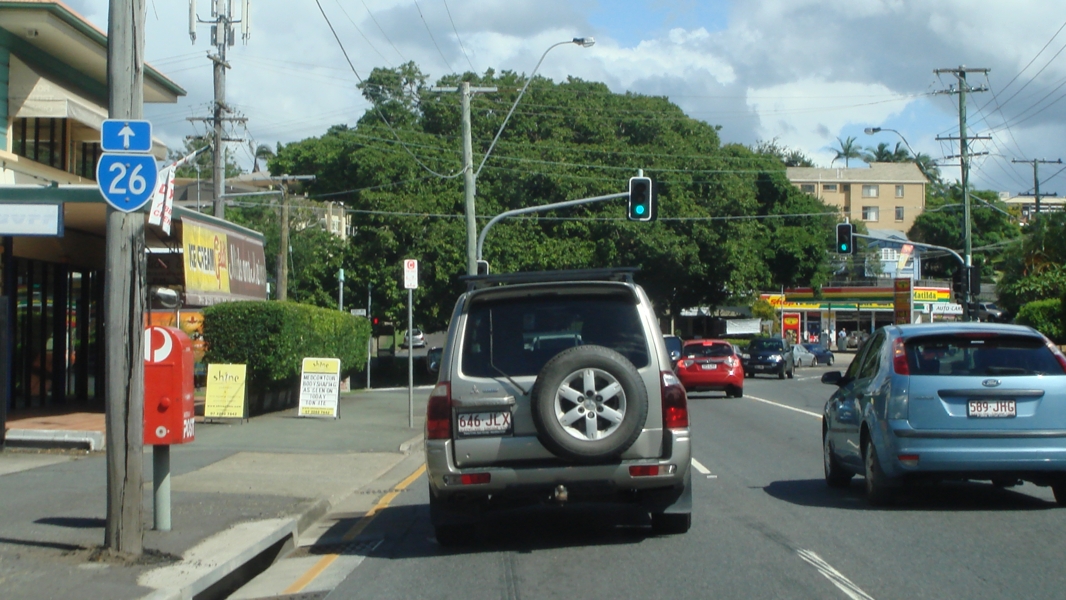
Advance
Directional Sign : AD sign on Inner City Bypass at Bowen Hills, June 2012. Image © Justin Cozart |
 |
Intersection
DIrectional Sign: ID sign at corner of Deception Bay Rd (unnumbered) and Old Gympie Rd at Burpengary, September 2007. Both signs should be prefixed with 'To'. Image © Paul Rands |
|
 |
Abbotsford
Road Interchange: Inner City Bypass in Bowen Hills at the Abbotsford Rd (SR26) interchange, June 2012. Image © Justin Cozart |
 |
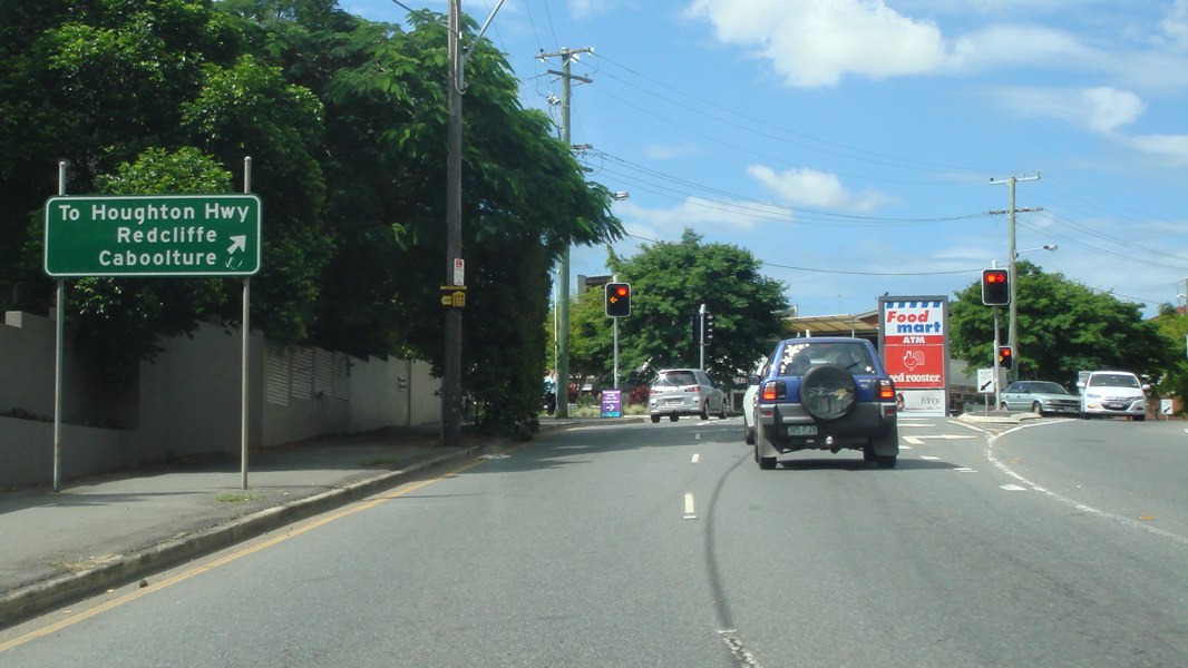
Intersection
Directional Sign: ID sign facing Bruce Hwy (M1) traffic at the Deception Bay Rd (SR26) interchange at Deception Bay, January 2009. Image © Rob Tilley |
|
 |
Advance
Directional Sign : AD sign at Bowen Hills, approaching Burrows St, March 2013. Image © Paul Rands |
 |
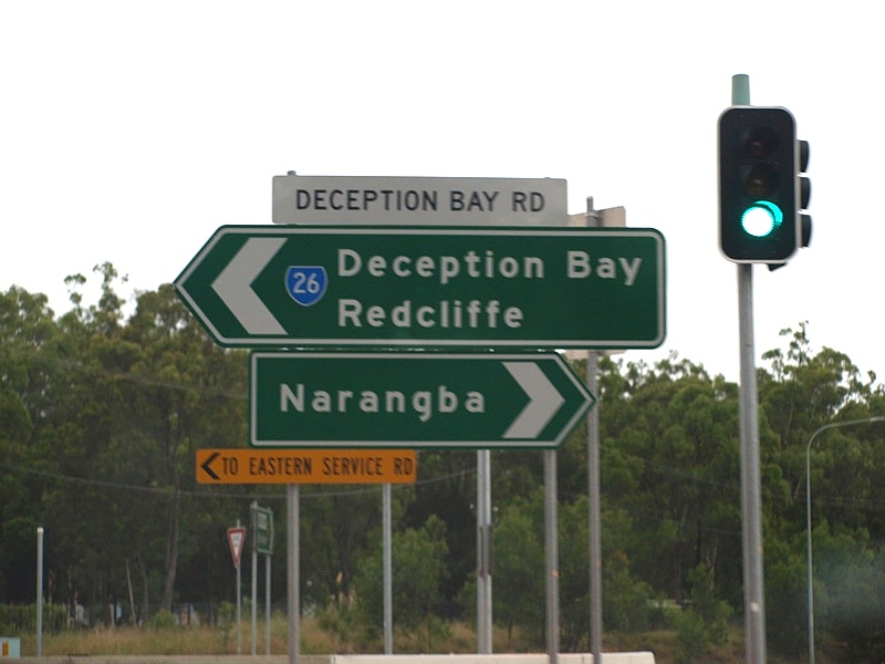
Intersection
Directional Sign: ID sign facing Eastern Service Road and Wayper Way traffic at the junction with Deception Bay Rd (SR26) at Deception Bay, August 2009. Image © Rob Tilley |
|
 |
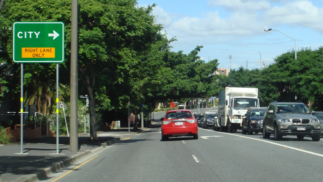
Bowen
Hills : Abbortsford Rd (SR26) as it passes through the suburb of Bowen Hills, near Albion Rd & Lever St, March 2013. Image © Paul Rands |
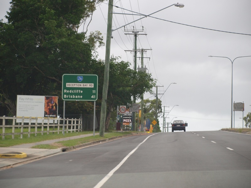 |
Distance Sign: Reassurance directional sign on Deception Bay Rd (SR26) at Deception Bay, January 2009. Image © Rob Tilley |
|
 |
Advance
Directional Sign : AD sign on Sandgate Rd (SR26) approaching Bonney Av, Clayfield, March 2013. Image © Paul Rands |
 |
Black Advance Directional Sign: Black AD sign on Deception Bay Rd (SR26) at Rothwell, approaching Anzac Av (SR26 / SR71) and Anzac Av (SR71), May 2005. Image © Michael Greenslade |
|
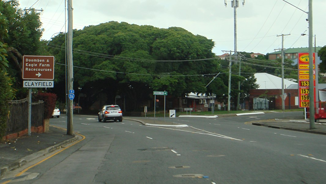 |
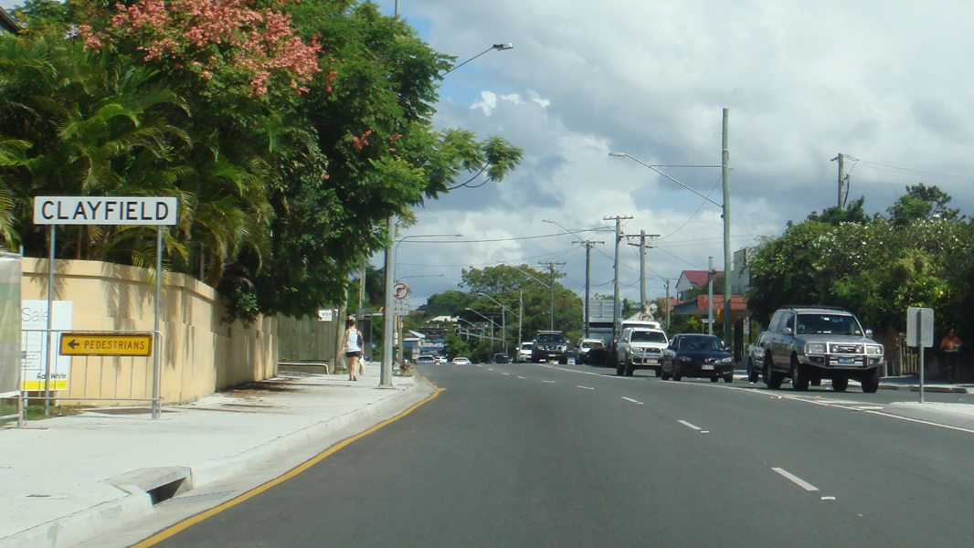
Entering
Clayfield : Sandgate Rd (SR26) as it enters the suburb of Clayfield and AD sign approaching Oriel St, March 2013. Image © Paul Rands |
 |
Reassurance Directional Sign: Distance sign at Rothwell, May 2005. Image © Michael Greenslade |
|
 |
Trailblazer: SR26 trailblazer on Sandgate Rd (SR26), after Oriel St at Clayfield, March 2013. Image © Paul Rands |
 |
Advance Directional
Sign: AD sign on Anzac Av (SR26 / SR71) approaching Klingner Rd at Kippa-Ring, January 2009. Image © Rob Tilley |
|
 |
Trailblazer: SR26 trailblazer on Sandgate Rd (SR26), at Clayfield, March 2013. Image © Paul Rands |
 |
Supplemental
Advance Directional Sign: Supplemental AD sign on Anzac Av (SR26 / SR71) approaching Klingner Rd at Kippa-Ring, January 2009. Image © Rob Tilley |
|
 |
Intersection Directional Sign: ID sign on the corner of Zillman Rd and Junction Rd in Hendra, showing access to SR26 via Junction Rd, May 2005. Image © Michael Greenslade |
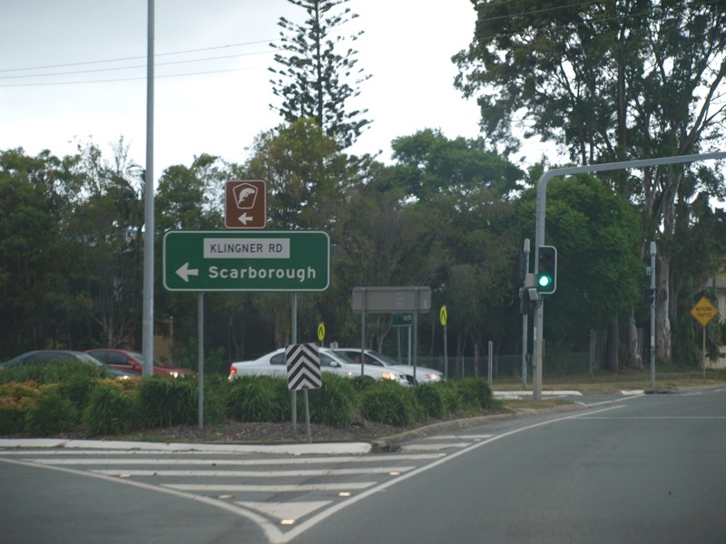 |
Klingner
Road: ID sign at the corner of Anzac Av (SR26 / SR71) and Klingner Rd (North Moreton Bay Tourist Drive), January 2009. Image © Rob Tilley |
|
 |
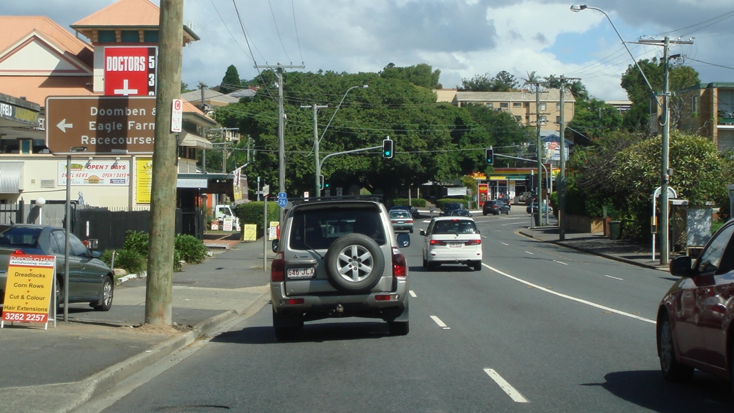
Advance Directional Sign: AD sign on Junction Rd at Clayfield approaching Junction Rd (SR20) and Sandgate Rd (SR20 / SR26), May 2005. Image © Michael Greenslade |
 |
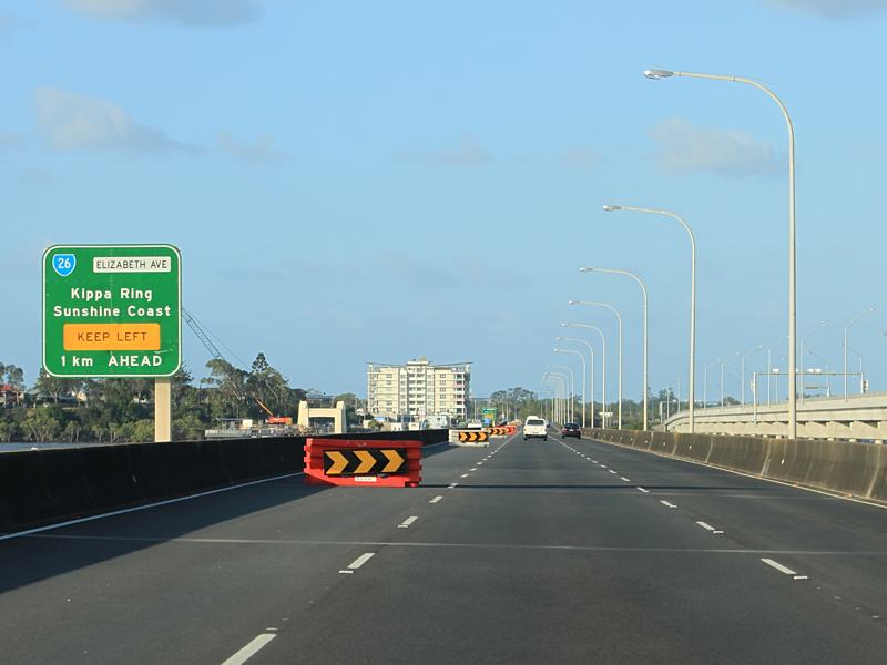
Advance
Directional Sign: AD sign on Anzac Av (SR26 / SR71) approaching Boardman Rd, Anzac Av (SR71) and Elizabeth Av (SR26) at Kippa-Ring, January 2009. Image © Rob Tilley |
|
 |
Advance
Directional Sign : AD sign on Sandgate Rd (SR26) approaching Junction Rd (SR20) at Clayfield, March 2013. Image © Paul Rands |
 |
Intersection
Directional Sign: AD style ID sign at the junction with Boardman Rd, Anzac Av (SR71) and Elizabeth Av (SR26) at Kippa-Ring, January 2009. Image © Rob Tilley |
|
 |
Intersection
Directional Sign : AD style sign as an ID sign at the intersection with Junction Rd (unnumbered and SR20) at Clayfield, March 2013. The SR20 duplex starts at this junction. Image © Paul Rands |
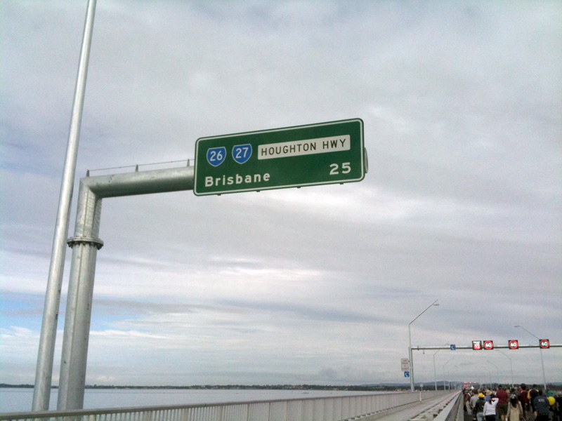 |
Distance
Sign: RD sign on Ted Smout Memorial Bridge, as Houghton Hwy crosses Bramble Bay at Brighton, July 2010. Image © Rob Tilley |
|
 |
Intersection
Directional Sign : AD style sign as an ID sign at the intersection with Junction Rd (unnumbered and SR20) at Clayfield, March 2013. The SR20 duplex starts at this junction. Image © Paul Rands |
 |
Advance
Directional Sign: AD sign approaching Hornibrook Hwy (SR27) and Brighton Park at Brighton, July 2010. Image © Rob Tilley |
|
 |
Reassurance
Directional Sign : Distance sign at Clayfield, after Junction Rd (SR20 & unnumbered), March 2013. Image © Paul Rands |
 |
Reassurance Directional Sign: Distance sign placed in median at Deagon, May 2005. Image © Michael Greenslade |
|
 |
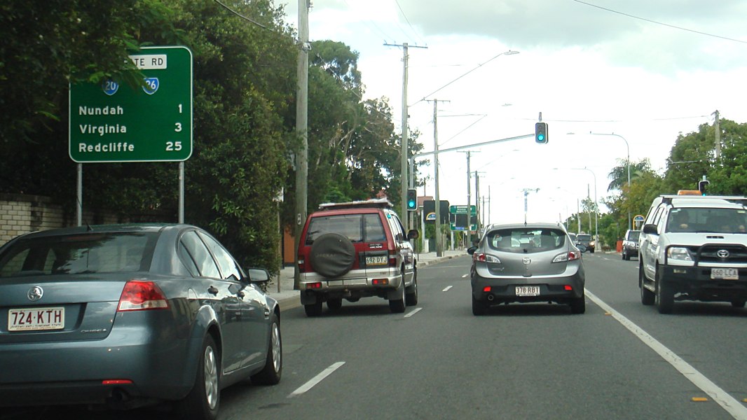
Advance
Directional Sign: AD sign on Sandgate Rd (SR20 / SR26) approaching East-West Arterial Rd (M7) in Clayfield, March 2013. Image © Paul Rands |
 |
Advance Directional Sign: AD sign on Sandgate Rd (SR26) at Virginia, approaching Whitfield St, May 2005. Image © Michael Greenslade |
|
 |
Intersection
Directional Sign : Non-standard ID sign at the interchange with East-West Arterial Rd (M7) at Clayfield, March 2013. Image © Paul Rands |
 |
Black Advance & Intersection Directional Signs: Black AD and ID signs in the Sandgate Rd (SR26) and Whitfield St interchange at Virginia, May 2005. The interchange consists of a grade-separated roundabout. Image © Michael Greenslade |
|
 |
Advance
Directional Sign: AD sign on Sangate Rd (SR20 / SR26) approaching East-West Arterial Rd (M7) in Clayfield, June 2012. Image © Justin Cozart |
 |
Advance
Directional Sign: AD sign on Sandgate Rd (SR26) at Nundah approaching Rode Rd, June 2018. Image © Rob Tilley |
|
 |
Intersection
Directional Sign: ID sign on the corner of Sangate Rd (SR20 / SR26) and East-West Arterial Rd (M7) in Clayfield, June 2012. Image © Justin Cozart |
 |
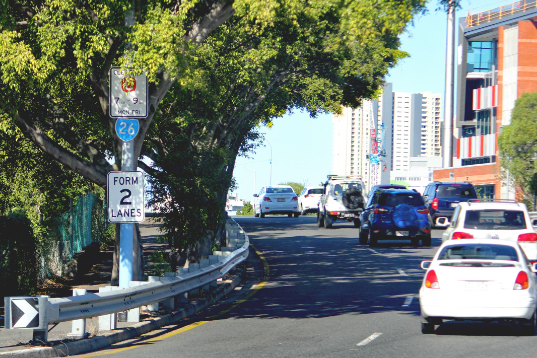
Supplemental
Advance Directional Sign: Supplemental AD sign on Sandgate Rd (SR26) approaching the unnumbered section of Sandgate Rd at Nundah, June 2018. Image © Rob Tilley |
|
 |
Trailblazer & Advance Directional Sign: Trailblazer and AD sign on Sandgate Rd (SR26) approaching Beams Rd and Stanworth Rd at Boondall, May 2005. Image © Michael Greenslade |

|
Advance
Directional Sign: AD sign on Sandgate Rd (SR26) approaching the unnumbered section of Sandgate Rd at Nundah, June 2018. Image © Rob Tilley |
|
 |
Freeway Green Advance Directional Sign: Freeway green AD sign near Roghan Rd at Boondall for the Gateway Mwy (then Metroad 1, now M1) interchange, May 2005. Image © Michael Greenslade |

|
Intersection
Directional Sign: ID sign on the ramp from Buckland Rd onto Sandgate Rd (SR26) at Nundah, August 2018. Image © Rob Tilley |
|
 |
Freeway Green Intersection Directional Sign: Standard green and freeway green ID sign on Sangate Rd (SR26) at the Gateway Mwy (then Metroad 1, now M1) interchange at Boondall, May 2005. Northbound SR26 traffic exits here and uses the northbound Gateway Mwy carriageway before exiting at Bracken Ridge. Image © Michael Greenslade |
 |
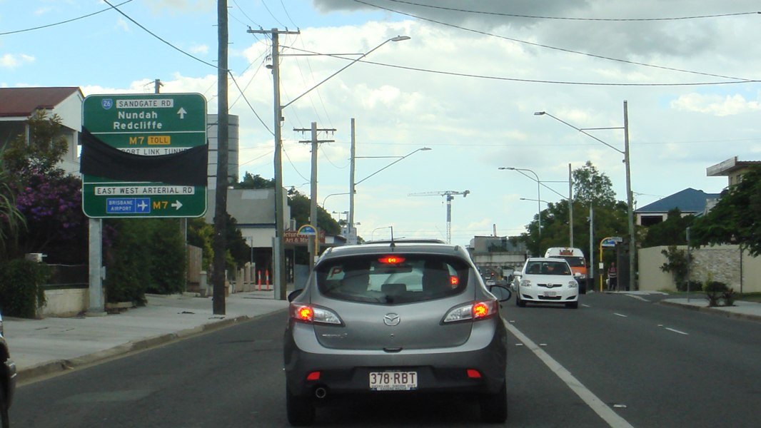
Supplemental
Advance Directional Sign: Supplemental AD sign on Sandgate Rd (SR26) at Nundah, approaching Airport Link Tunnel (M7) and East West Art Rd (M7), June 2018. Image © Rob Tilley |
|
 |
Advance Directional Sign: AD sign on Braun St (northbound unnumbered, southbound SR26), approaching Depot Rd (SR27 / SR40), Gateway Mwy (then Metroad 1, now M1) and Deagon Deviation (southbound SR26) at Deagon, May 2005. Image © Michael Greenslade |
 |
Supplemental
Advance Directional Sign: Supplemental AD sign on Sandgate Rd (SR26) at Nundah, approaching Airport Link Tunnel (M7) and East West Art Rd (M7), June 2018. Image © Rob Tilley |
|
 |
Advance
Directional Sign: AD sign approaching Hornibrook Hwy (SR27) and Brighton Park at Brighton, January 2011. Image © Rob Tilley |
 |
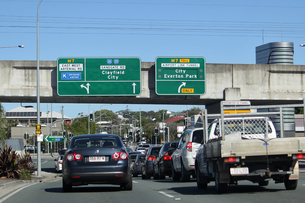
Intersection
Directional Sign: ID sign on the corner of Sandgate Rd (SR26), Airport Link Tunnel (M7) and East West Art Rd (M7) at Nundah, June 2018. Image © Rob Tilley |
|
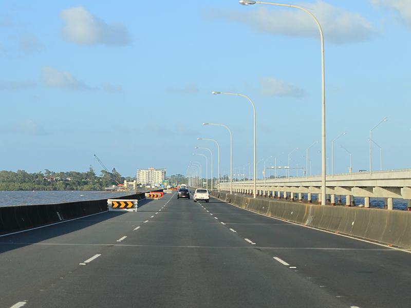 |
Houghton
Highway: Houghton Hwy (SR26 / SR27) as it crosses Bramble Bay via Ted Smout Memorial Bridge, January 2011. Image © Rob Tilley |
 |
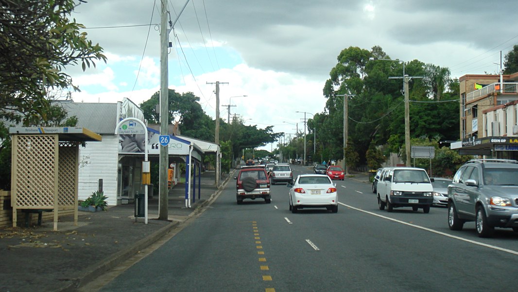
Entering
Clayfield : Sandgate Rd (SR26) as it enters the suburb of Clayfield, March 2013. Image © Paul Rands |
|
 |
Advance
Directional Sign: AD sign approaching Elizabeth Av (SR26) and Hornibrook Esp (SR27), January 2011. Image © Rob Tilley |
 |
Advance
Directional Sign : AD sign on Sandgate Rd (SR26) approaching Junction Rd (SR20) at Clayfield, March 2013. Image © Paul Rands |
|
 |
Advance
Directional Sign: AD sign approaching Elizabeth Av (SR26) and Hornibrook Esp (SR27), January 2011. Image © Rob Tilley |
 |
Intersection
Directional Sign : AD style sign as an ID sign at the intersection with Junction Rd (unnumbered and SR20) at Clayfield, March 2013. The SR20 duplex ends at this junction. Image © Paul Rands |
|
 |
Advance Directional Sign: Image © Alexander Czarnecki |
 |
Intersection
Directional Sign : AD style sign as an ID sign at the intersection with Junction Rd (unnumbered and SR20) at Clayfield, August 2018. The SR20 duplex ends at this junction. Image © Rob Tilley |
|
 |
Reassurance Directional Sign: Distance sign at Rothwell, May 2005. Image © Michael Greenslade |
 |
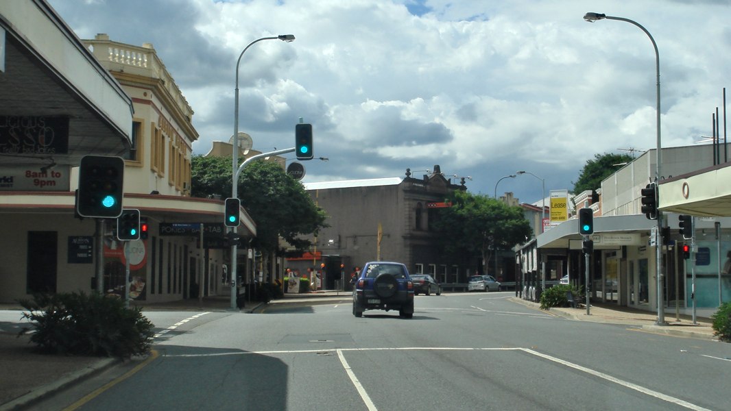
High
Vehicle Warning Sign: Sign warning of risk of damage to high vehicles if they use kerbside lane, Clayfield, March 2013. Image © Paul Rands |
|
 |
Advance
Directional Sign: AD sign on Deception Bay Rd (SR26) approaching the interchange with Bruce Hwy (M1) at Deception Bay, August 2009. Image © Rob Tilley |
 |
Advance
Directional Sign: AD sign at Clayfield approaching Oriel St, May 2018. Click here for a photo of this location by Paul Rands from March 2013. |
|
 |
Bruce Highway Interchange: Bruce Hwy (M1) interchange at Deception Bay, August 2009. This is also the northern terminus of SR26. Image © Rob Tilley |
 |
Trailblazer: SR26 trailblazer on Sandgate Rd (SR26), near Oriel St at Clayfield, March 2013. Image © Paul Rands |
|
 |
Trailblazer: SR26 trailblazer on Sandgate Rd (SR26), near Butler St at Clayfield, March 2013. Image © Paul Rands |
|||
 |
Entering
Albion : Sandgate Rd (SR26) as it enters the suburb of Albion, March 2013. Image © Paul Rands |
|||
 |
Advance
Directional Sign : Sandgate Rd (SR26) approaching Frodsham St, Albion, March 2013. Image © Paul Rands |
|||
 |
Trailblazer: SR26 trailblazer on Sandgate Rd (SR26), near Frodsham St at Albion, May 2005. Image © Michael Greenslade |
|||
 |
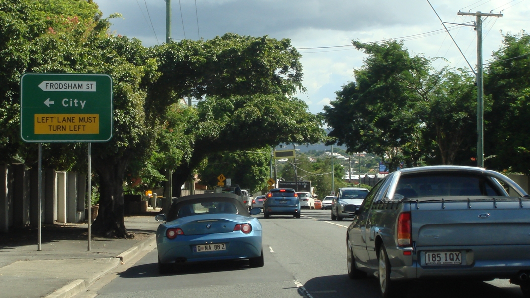
Advance
Directional Sign: AD sign with non-standrd all caps text and missing route number near Frodsham St, Crosby Rd & Sandgate Rd (unnumbered section) at Albion, March 2013. Image © Paul Rands |
|||
 |
Trailblazer: SR26 trailblazer on Sandgate Rd (SR26), near Frodsham St, Crosby Rd & Sandgate Rd (unnumbered section) at Clayfield, March 2013. SR26 turns right here and becomes Abbottsford Rd. Image © Paul Rands |
|||
 |
Trailblazer: Trailblazer on Frodsham St at Albion, June 2018. Image © Rob Tilley |
|||
 |
Brisbane
Central Traffic Area Sign : Sign denoting default parking time length in the Brisbane area, Bowen Hills, March 2013. Image © Paul Rands |
|||
 |
Advance
Directional Sign : AD sign on Abbotsford Rd (SR26) in Bowen Hills, near Burrows St, approaching the interchange with Inner City Bypass, June 2012. Image © Justin Cozart |
|||
 |
Advance
Directional Sign : AD sign on Abbotsford Rd (SR26) in Bowen Hills, approaching the interchange with Inner City Bypass, May 2018. |
|||
 |
Inner
City Bypass Interchange : Abbotsford Rd (SR26) at the interchange with Inner City Bypass in Clayfield, May 2018. |
|||
 |
Trailblazer: SR26 trailblazer near Colishaw St at Clayfield, May 2018. Image © Rob Tilley |
|||
1 Transport and
Main Roads, Queensland state-controlled roads and region maps, North Coast
Region: front
2 Brisbane Times, Australia's longest
bridge opens at Redcliffe, 12 July 2010
3 Transport and Main Roads, Queensland
Roads, Edition 8, Houghton Highway Duplication - Ted Smout Memorial
Bridge, March 2010
4 Transport and Main Roads, Houghton
Highway Fact Sheet 2, June 2007.
5 Transport and Main Roads, Queensland
Roads, Edition 1, Hornibrook Highway Condition Assessment, March 2006
6 John Oxley Library, New Bridge to
Redcliffe, 22 Sep 2010
7 ABC Local Radio, 612 ABC Brisbane,
Ted Smout Memorial Bridge opens, 12 July 2010.
8 Tyler Bullock
9 Nundah & Districts Historical
Society
10 Queensland Government, Media
Releases, All systems go for new Houghton Highway lane control system, 1
May 2002.
11 Transport and Main Roads,
Construction Update, Houghton Highway Duplication Project, August 2008.
12 Queensland Government, Media
Releases, Local pioneer honoured in Q150 celebrations, 19 November 2009
Last updated: 21-Oct-2021 16:08
This site © Paul Rands. All rights reserved. Some portions © (copyright) by their respective and credited owners. Permission must be obtained before using any images from this site. For details, please email by clicking here.