|
|
|
|
|
 |
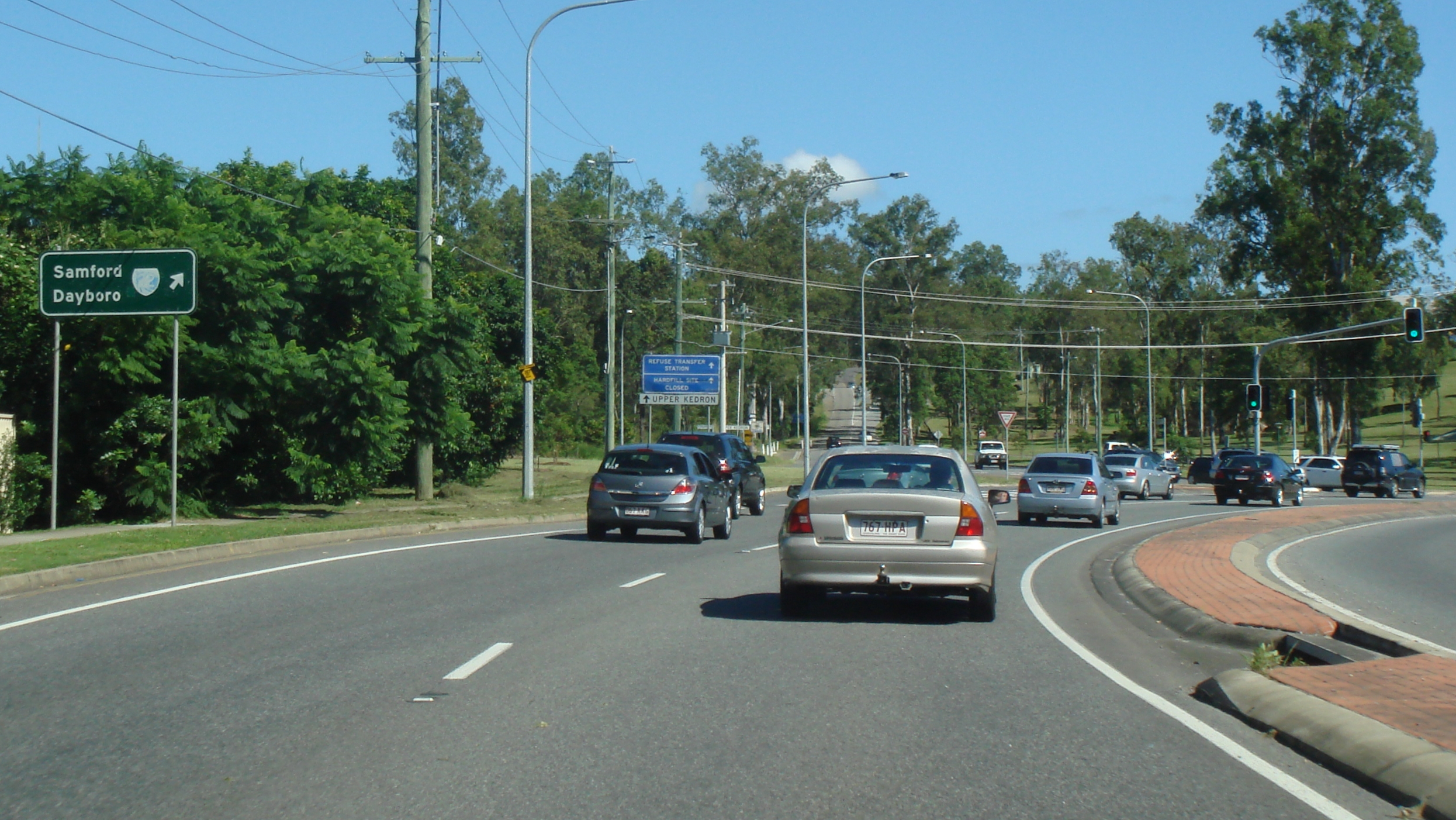
Willams Street, Bradley Street, Mt Samson Road, Main Street, Samson Road, O'Keefe Street, Logan Road, Old Cleveland Road, Moreton Bay Road, Finucane Road, Shore Street West, Bridge Street & North Street (State Route 22) - Alderley to Dayboro |
Statistics:
Route Numbering:


General Information:
State Route 22 is a 2 part route, truncated after numbering changes in the Brisbane area during the 1990s. The eastern section features a small unsigned section along O'Keefe St at Woolloongabba as well as an unsigned duplex with SR95 within the same suburb. 2
The western section of the route passes through commercial, residential and rural zones, and features several tracts of bushland as it makes its way into the mountains northwest of Brisbane CBD.
The routing of SR22 once included Cavendish Rd at Coorparoo, Stanley and Vulture Streets in East Brisbane, Woolloongabba and South Brisbane as well as Cordelia and Merivale Streets, Peel and Melbourne Streets and Grey St in South Brisbane, plus Skew St, Petrie Tce, Saul St, Countess St and Kelvin Grove Rd in Brisbane, and Kelvin Grove Rd in Kelvin Grove and then Enoggera Rd in New Market and Alderley.
Multiplexes along the route include:
| Alderley to Dayboro | Dayboro to Alderley | |||
| Preview: | Description: | Preview: | Description: | |
 |
Advance
Directional Sign: AD sign on Samford Rd (SR22) approaching Osborne Rd at Mitchelton, August 2018. Image © Rob Tilley |
 |
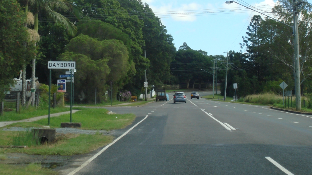
Start
SR22: Start SR22 trailblazer on Williams St in Dayboro, November 2009. Image © Rob Tilley |
|
 |
Trailblazer: Trailblazer on Samford Rd (SR22) near Suze St, Mitchelton, August 2018. Image © Rob Tilley |
|
 |
Advance
Directional Sign: AD sign on Williams St in Dayboro approaching McKenzie St and Bradley St (SR22), November 2009. Image © Rob Tilley |
 |
Trailblazer: Trailblazer sign on Samford Rd (SR22 / SR40) at Keperra, August 2018. Image © Rob Tilley |
|
 |
Intersection
Directional Sign: ID sign in Dayboro at the junction of Williams St, McKenzie St and Bradley St (SR22), November 2009. Image © Rob Tilley |
 |
Advance
Directional Sign: AD sign on Samford Rd (SR22) approaching Settlement Rd (SR40) at Keperra, March 2012. The SR40 duplex ends at this junction. Image © Paul Rands |
|
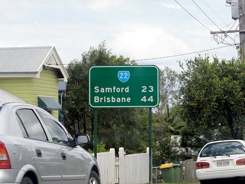 |
Distance
Sign: Reassurance directional sign as SR22 leaves Dayboro, November 2009. Image © Rob Tilley |
 |
Black
Advance Directional Sign: Black AD sign on Samford Rd (SR22) approaching Upper Kedron Rd at Keperra, March 2012. Image © Paul Rands |
 |
Black
Advance Directional Sign: Black AD sign on Mt Samson Rd (SR22) at Mt Samson approaching Winn Rd, November 2009. Image © Rob Tilley |
|
 |
Upper
Kedron Road: Samford Rd (SR22) at the junction with Upper Kedron Rd at Keperra, August 2018. Image © Rob Tilley |
 |
Old
Mt Samson Road: Corner of Mt Samson Rd (SR22) and Old Mt Samson Rd in Mt Samson, November 2009. Image © Rob Tilley |
|
 |
Ferny
Grove: Samford Rd (SR22) as it enters the suburb of Ferny Grove, March 2012. Image © Paul Rands |
|
 |
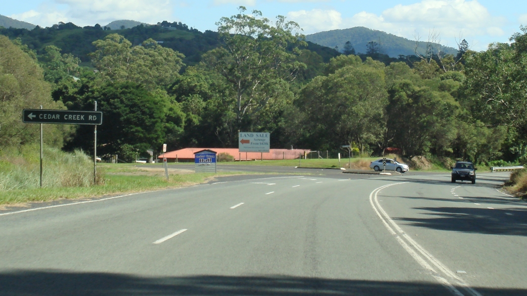
Black Advance
Directional Sign: Black AD sign approaching Cedar Ck Rd at Closeburn, November 2009. Image © Rob Tilley |
 |
Start
Tourist Drive 9: Sign announcing the start of TD9 duplex at Ferny Hills, March 2012. Image © Paul Rands |
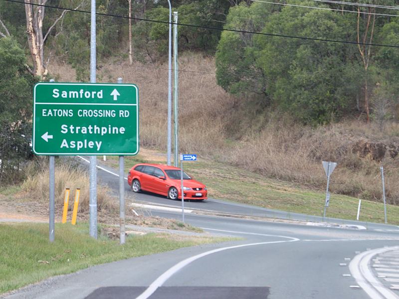 |
Advance
Directional Sign: AD sign on Mt Samson Rd (SR22) at Yugar approaching Eatons Crossing Rd, November 2009. Image © Rob Tilley |
|
 |
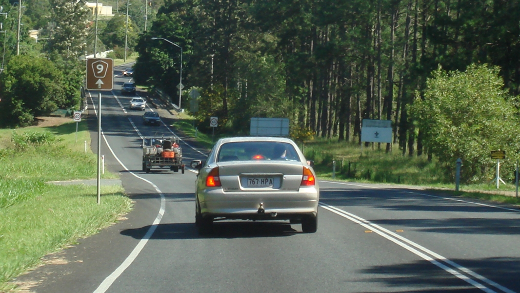
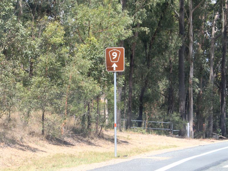
Trailblazer: TD9 trailblazer at Ferny Hills, March 2012. Image © Paul Rands |
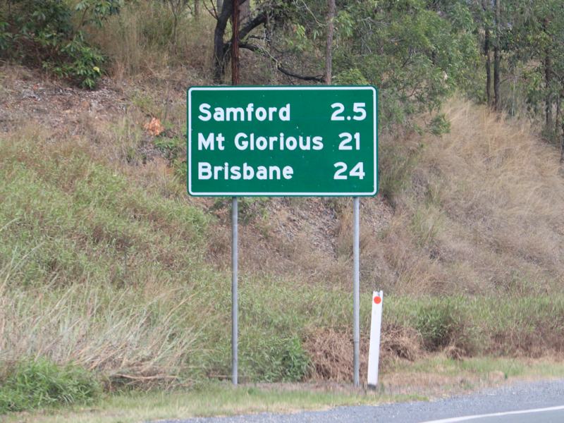 |
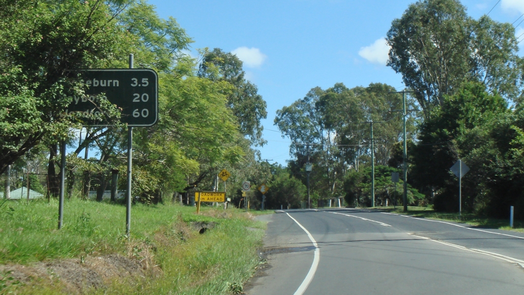
Distance
Sign: RD sign missing a SR22 shield at Yugar, November 2009. Note the decimal point on the first distance. Image © Rob Tilley |
|
 |
Trailblazer: TD9 trailblazer at Ferny Hills, near Baden Ln, August 2018. Click here for a photo of this location by Paul Rands from March 2012. |
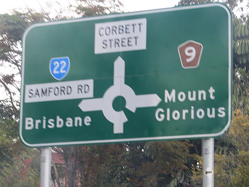 |
Advance
Directional Sign: AD sign in Samford approaching the roundabout with Corbett St and Mt Glorious Rd (TD9), November 2009. The TD9 duplex starts at this junction, though not shown on this sign. Image © Rob Tilley |
|
 |
Entering
Samford Valley: Samford Rd (SR22 / TD9) as it enters Samford Valley, March 2012. Image © Paul Rands |
 |
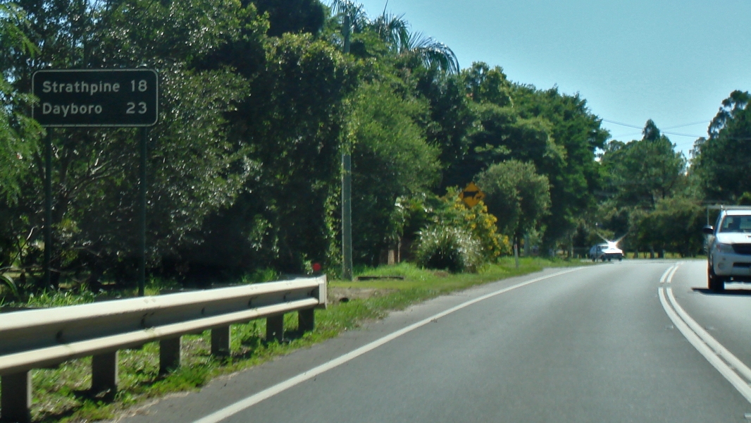
Distance
Sign: RD sign on Samford Rd (SR22) in Samford, November 2009. Image © Rob Tilley |
|
 |
Trailblazer: TD9 trailblazer at Samford Valley, March 2012. Image © Paul Rands |
 |
Trailblazer: Tourist Drive 9 trailblazer at Samford, November 2009. Image © Rob Tilley |
|
 |
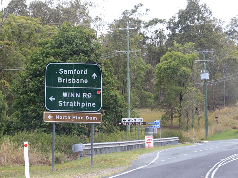
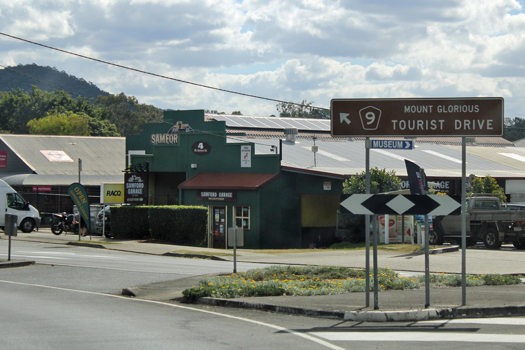
Advance
Directional Sign: AD sign on Samford Rd (SR22 / TD9) approaching the roundabout with Mt Glorious Rd (TD9) and Main St (SR22) at Samford Village, March 2012. SR22 turns right at this intersection, and the TD9 duplex ends at this junction. Image © Paul Rands |
 |
Trailblazer: Tourist Drive 9 trailblazer at Ferny Hills, November 2009. Image © Rob Tilley |
|
 |
Intersection
Directional Sign: ID sign on the roundabout with Mt Glorious Rd (TD9) and Main St (SR22) at Samford Village, August 2018. Image © Rob Tilley |
 |
Trailblazer: State Route 22 trailblazer at Ferny Hills, November 2009. Image © Rob Tilley |
|
 |
Samford
Village: Main St (SR22) as it passes through the Samford Village town centre, March 2012. Image © Paul Rands |
 |
End
Tourist Drive 9: End TD9 at Ferny Grove, November 2009. Image © Rob Tilley |
|
 |
Black
Distance Sign: Black reassurance directional sign at Samford Village, March 2012. Image © Paul Rands |
 |
Ferny
Grove: Samford Rd (SR22) as it passes through Ferny Grove, November 2009. Image © Rob Tilley |
|
 |
South
Pine River: Mt Samson Rd (SR22) at Samford Valley as it crosses South Pine River via Private Percy Cash Bridge, March 2012. Image © Paul Rands |
 |
Advance
Directional Sign: AD sign at Keperra approaching Upper Kedron Rd, November 2009. Image © Rob Tilley |
|
 |
Yugar: Mt Samson Rd (SR22) as it enters the town of Yugar, March 2012. Image © Paul Rands |
 |
Advance
Directional Sign: AD sign at Keperra approaching Settlement Rd (SR40), November 2009. The SR40 duplex starts at this junction. Image © Rob Tilley |
|
 |
Black
Advance Directional Sign: Black AD sign on Mt Samson Rd (SR22) at Yugar approaching Eatons Crossing Rd, March 2012. Image © Paul Rands |

|
Trailblazer: Very faded SR22 trailblazer on Samford Rd (SR22 / SR40) at Keperra, November 2009. Image © Rob Tilley |
|
 |
Black
Distance Sign: Black reassurance directional sign at Yugar, March 2012. Image © Paul Rands |
 |
Advance
Directional Sign: AD sign on Samford Rd (SR22) approaching Wardell St (Metroad 5) at Enoggera, November 2009. Image © Rob Tilley |
|
 |
Closeburn: Mt Samson Rd (SR22) as it enters the town of Closeburn, March 2012. Image © Paul Rands |
|||
 |
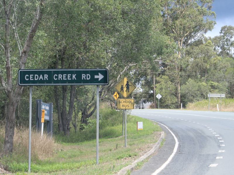
Black
Intersection Directional Sign: Black ID sign at Closeburn, approaching Cedar Creek Rd, March 2012. Image © Paul Rands |
|||
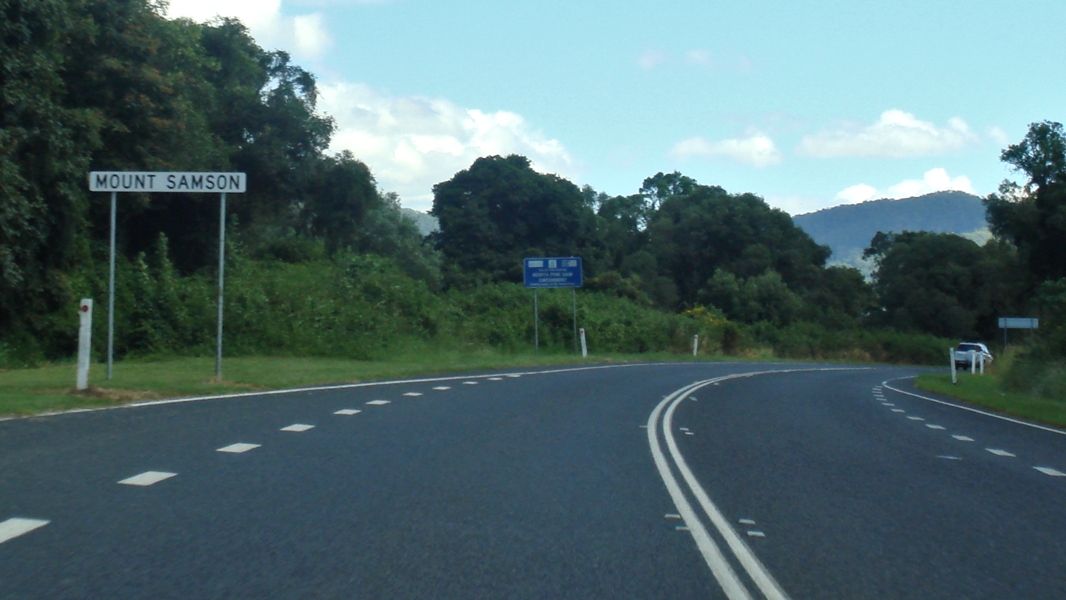 |
Mount
Samson: Mt Samson Rd (SR22) as it enters the town of Mt Samson, March 2012. Image © Paul Rands |
|||
 |
Black
Advance Directional Sign: Black AD sign at Mt Samson, approaching Winn Rd, March 2012. Image © Paul Rands |
|||
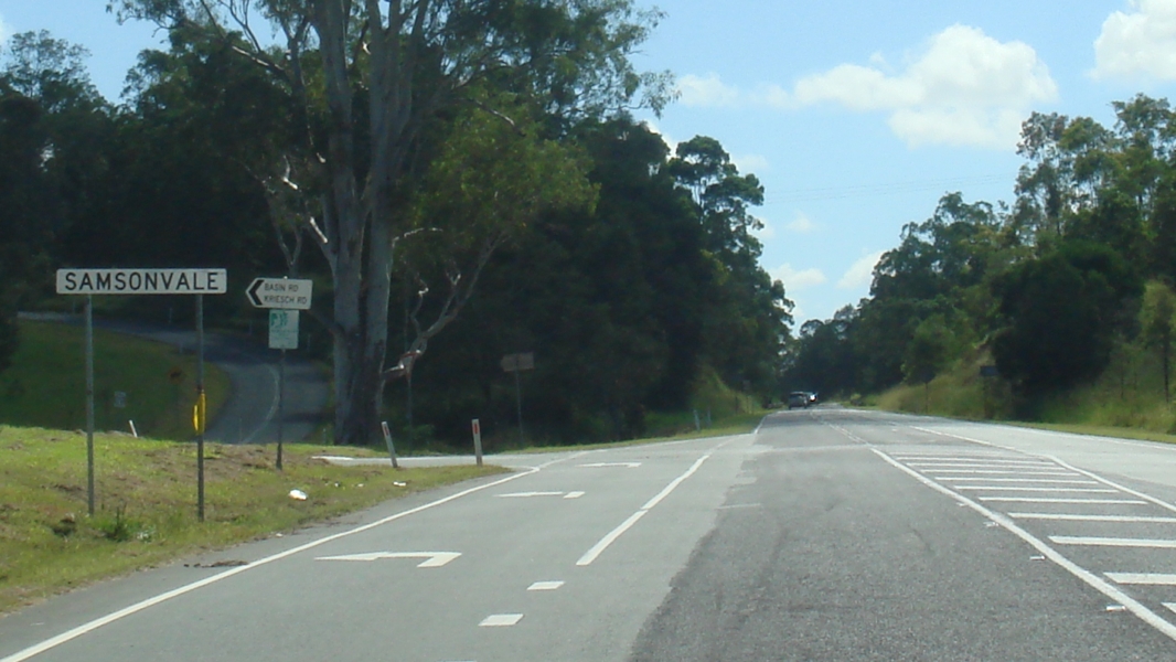 |
Samsonvale: Mt Samson Rd (SR22) as it enters the town of Samsonvale, March 2012. Image © Paul Rands |
|||
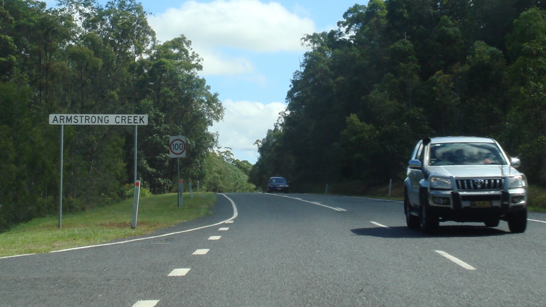 |
Armstrong
Creek: Mt Samson Rd (SR22) as it enters the town of Armstrong Ck, March 2012. Image © Paul Rands |
|||
 |
Dayboro
& North Pine River: Mt Samson Rd (SR22) as it enters the town of Dayboro and crosses North Pine River, March 2012. Image © Paul Rands |
|||
 |
Dayboro: Mt Samson Rd (SR22) as it enters the town of Dayboro, March 2012. Image © Paul Rands |
|||
 |
Advance
Directional Sign: AD sign at Dayboro approaching McKenzie St and Williams St (SR22), March 2012. SR22 turns right at this junction. Image © Paul Rands |
|||
 |
Intersection
Directional Sign: ID sign at the junction of Mt Samson Rd (SR22), Williams St (SR22) and McKenzie St in Dayboro, March 2012. Image © Paul Rands |
|||
 |
Dayboro: Williams St (SR22) as it passes through the Dayboro town centre, March 2012. Image © Paul Rands |
|||
 |
Supplemental
Advance Directional Sign: Supplemental AD sign at Dayboro approaching Mt Mee Rd (SR58 / TD29), March 2012. Image © Paul Rands |
|||
 |
Advance Directional Sign: AD sign at Dayboro approaching Mt Mee Rd (SR58 / TD29), March 2012. Image © Paul Rands |
|||
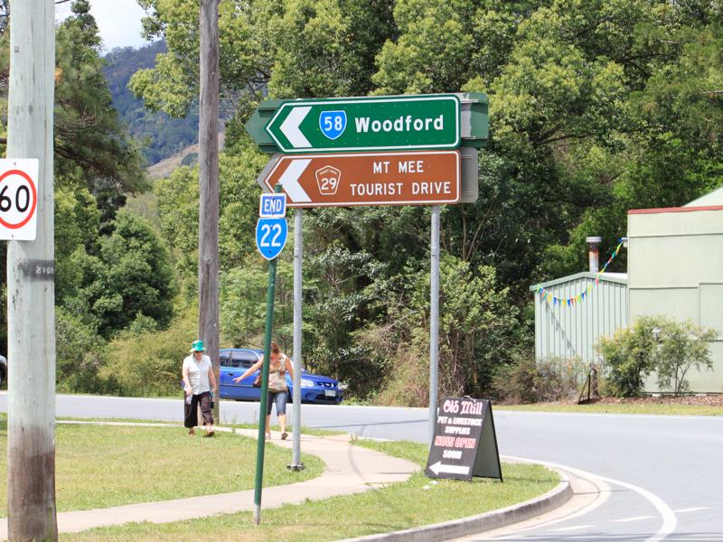 |
Intersection
Directional Sign: End SR22 trailblazer and ID sign assembly at the junction with Mt Mee Rd (SR58 / TD29) and Hay Rd at Dayboro, November 2009. Image © Rob Tilley |
|||
| Click here for State Route 22 between Woolloongabba and Cleveland | ||||
1 Transport and
Main Roads, Queensland State Controlled Roads and Regions Maps,
Metropolitan East
2 Transport and Main Roads, from
correspondence from April 2012
Last updated: 16 Oct 2019 13:04
This site © Paul Rands. All rights reserved. Some portions © (copyright) by their respective and credited owners. Permission must be obtained before using any images from this site. For details, please email by clicking here.