|
|
|
|
|
 |
Carp Street, East Street, Tathra Road, Anthony Poole Drive, Tathra-Bermagui Road, Bunga Street, Lamont Street, Wallaga Lake Road & Bermagui Road - Bega to Tathra |
Statistics:
Route Numbering:


General Information:
Tourist Drive 9 connects several coastal towns on the NSW Sapphire Coast. The route is mostly a 2-lane undivided rural road, passing through farmland, residential and commercial regions. Large tracts of the route pass through national parks and traverse very hilly and steep terrain.
Multiplexes along the route include:
| Bega to Tathra | Tathra to Bega | |||
| Preview: | Description: | Preview: | Description: | |
 |
Advance
Directional Sign: AD sign on Carp St (Princes Hwy) (NR1) in Bega showing Snowy Mtns Hwy, October 2010. Image © Paul Rands |
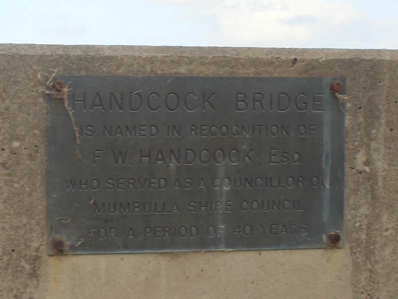 |
Bridge Plaque: Plaque on the southern end of Handcock Bridge over Bega River in Tathra, January 2010. Image © Paul Rands |
|
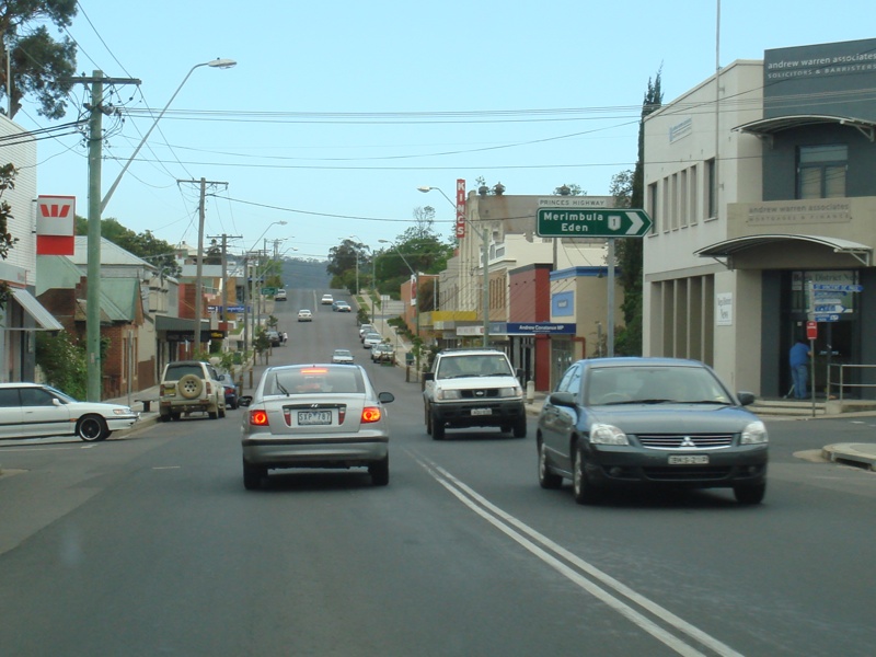 |
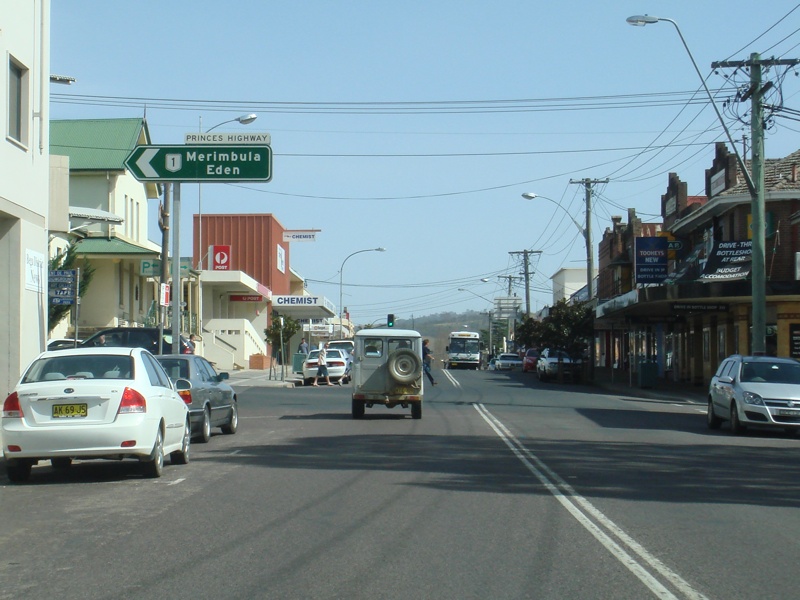
Corner of
Carp Street & Gipps Street: Start of Tourist Drive 9 (former NR18) in Bega CBD, October 2010. Image © Paul Rands |
 |
Tourist Drive 9 as it enters Tathra via Andy Poole Dr, January 2010. Image © Paul Rands |
|
 |
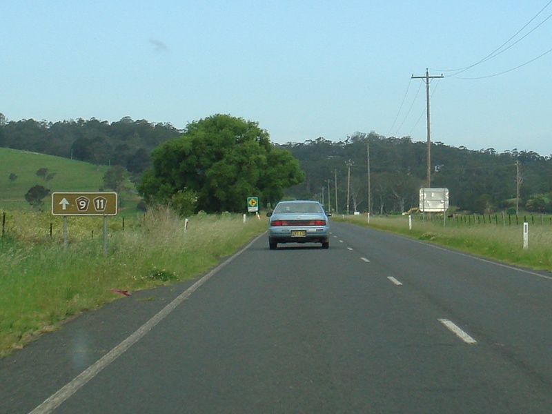
Distance
Sign: First distance sign along Carp St (former NR18) in Bega, October 2010. Image © Paul Rands |
 |
Tathra: Andy Pool Dr at the junction with Francis Hollis Dr in Tathra, January 2010. Image © Paul Rands |
|
 |
Intersection
Directional Sign: ID sign assembly facing Carp St, near East St in Bega, October 2010. Image © Paul Rands |
 |
Intersection Directional Sign: ID sign facing Tathra Street in Tathra, October 2010. Image © Paul Rands |
|
 |
Tarraganda
Lane: Corner of Tathra Rd and Tarraganda Ln in Bega, October 2010. Image © Paul Rands |
 |
Tathra: Tathra Road (Bega Street) as it passes thru Tathra, October 2010. Image © Paul Rands |
|
 |
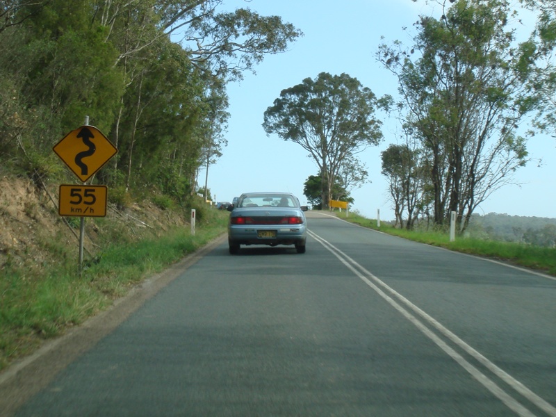
Tourist
Drive Distance Sign: Faded TD9 distance sign on Tathra Rd near Glen Mia estate in Bega, November 2011. Image © Rob Tilley |
 |
Evans Hill: Tathra Rd as it passes over Evans Hill at Tathra, October 2010. Image © Paul Rands |
|
 |
Tourist
Drive Distance Sign: TD11 distance sign on Tathra Rd near Glen Mia estate in Bega, November 2011. Image © Rob Tilley |
 |
Thomsons Road: Corner of Thomsons Rd and Tathra Rd on the outskirts of Tathra, October 2010. Image © Paul Rands |
|
 |
Black
Kilometre Plate: Black kilometre indicating distance to Tathra, near Bega, October 2010. Image © Paul Rands |
 |
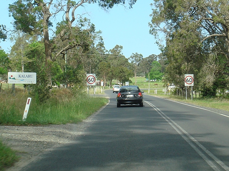
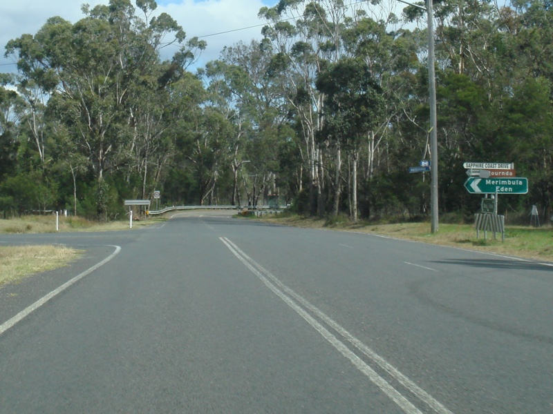
Advance Directional Sign: AD sign approaching Sapphire Coast Dr (TD11) at Kalaru, May 2011. Click here for a photo of this location by Paul Rands from October 2010. Image © Paul Rands |
|
 |
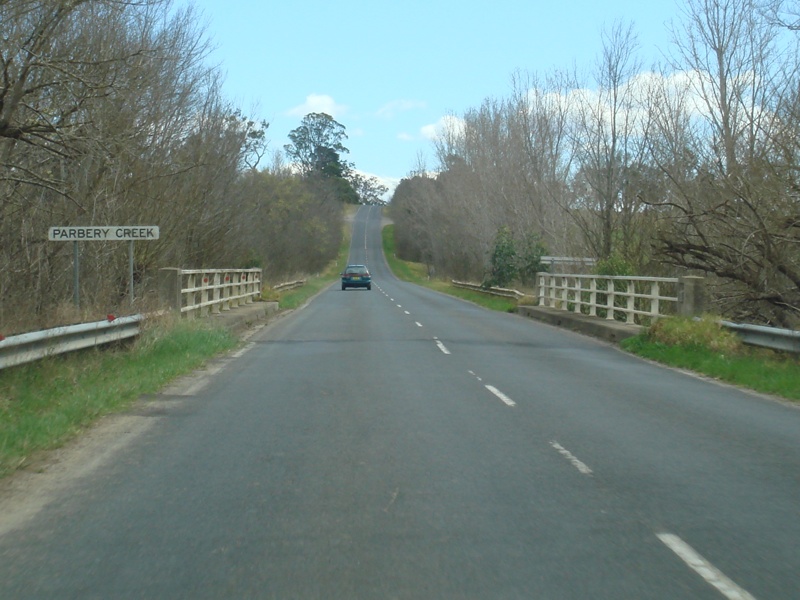
Parbury
Creek: Tathra Rd as it crosses Parbury Ck near Bega, October 2010. Image © Paul Rands |
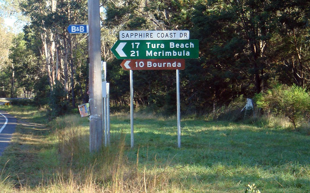 |
Sapphire Coast Drive: Corner of Tathra Rd (TD9) and Sapphire Coast Dr (TD11) at Kalaru. The TD11 duplex starts at this junction, May 2011. Click here for a photo of this location by Paul Rands from October 2010. Image © Paul Rands |
|
 |
Meakers
Gully: Tathra Rd as it crosses Meakers Gully at Jellat Jellat, October 2010. Image © Paul Rands |
 |
Entering Kalaru: Tathra Rd as it enters the town of Kalaru, October 2010. Image © Paul Rands |
|
 |
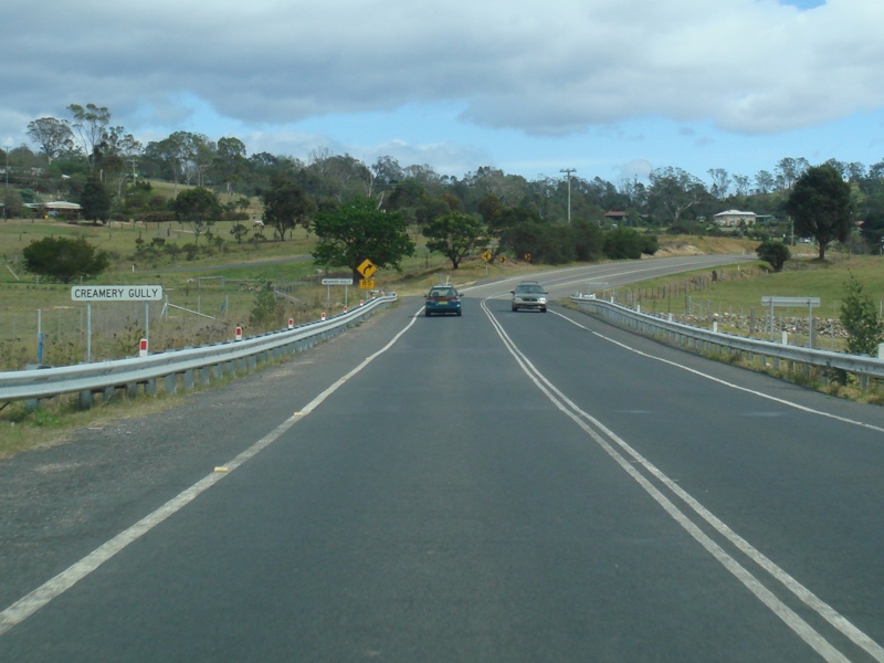
Creamery
Gully: Tathra Rd as it crosses Creamery Gully at Jellat Jellat, October 2010. Image © Paul Rands |
 |
Kalaru Town Centre: Tathra Road as it passes through Kalaru's town centre, October 2010. Image © Paul Rands |
|
 |
Jellat
Jellat: Tathra Rd as it enters Jellat Jellat, October 2010. Image © Paul Rands |
 |
Leaving Kalaru: A winding section of road leads the route away from Kalaru towards Jellat Jellat, October 2010. Image © Paul Rands |
|
 |
Narrow
Bridge Sign: Narrow bridge sign approaching Gowing Ck in Jellat Jellat, October 2010. Image © Paul Rands |
 |
Jellat Jellat: Tathra Rd as it enters Jellat Jellat, October 2010. Image © Paul Rands |
|
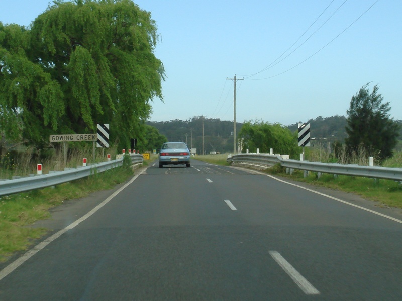 |
Gowing
Creek: Tathra Rd as it crosses Gowing Creek at Jellat Jellat, October 2010. Image © Paul Rands |
 |
Narrow Bridge Sign: Narrow bridge sign approaching Gowing Ck in Jellat Jellat, October 2010. Image © Paul Rands |
|
 |
Trailblazer: TD9 / TD11 trailblazer along Jellat Jellat flat, October 2010. Image © Paul Rands |
 |
Trailblazer: TD9 / TD11 trailblazer along Jellat Jellat flat, October 2010. Image © Paul Rands |
|
 |
Black
Kilometre Plate: Black kilometre at Jellat Jellat, indicating distance to Tathra, October 2010. Image © Paul Rands |
 |
Gowing Creek: Tathra Rd as it crosses Gowing Creek at Jellat Jellat, October 2010. Image © Paul Rands |
|
 |
Leaving
Jellat Jellat: A winding section of road leads the route away from Jellat Jellat towards Kalaru, October 2010. Image © Paul Rands |
 |
Stock On Road Sign: Foldable stock on road sign, Jellat Jellat, near Darcy Lane, October 2010. Image © Paul Rands |
|
 |
Bypassed
Alignment: A small section of Snowy Mtns Hwy bypassed by current alignment of Tathra Rd. This section was known by locals as Cow Shit Corner, due to the twice daily crossing of cattle from farmland to dairy for milking, January 2010. Image © Paul Rands |
 |
Creamery Gully: Tathra Rd as it crosses Creamery Gully at Jellat Jellat, October 2010. Image © Paul Rands |
|
 |
Bypassed
Alignment: A small section of Snowy Mtns Hwy bypassed by current alignment of Tathra Rd. This section was known by locals as Cow Shit Corner, due to the twice daily crossing of cattle from farmland to dairy for milking, January 2010. Image © Paul Rands |
 |
Meakers Gully: Tathra Rd as it crosses Meakers Gully at Jellat Jellat, October 2010. Image © Paul Rands |
|
 |
Entering
Kalaru: Tathra Rd as it enters the town of Kalaru, October 2010. Image © Paul Rands |
 |
Bega Outskirts: Tathra Rd as it enters the outskirts of Bega, October 2010. Image © Paul Rands |
|
 |
Kalaru Town
Centre: Tathra Road as it passes through Kalaru's town centre, October 2010. Image © Paul Rands |
 |
Parbury Creek: Tathra Rd as it crosses Parbury Ck near Bega, October 2010. Image © Paul Rands |
|
 |
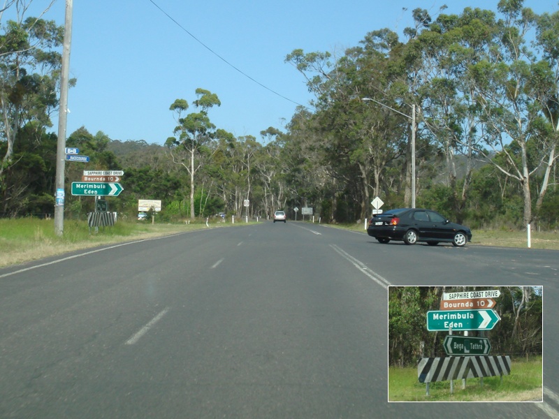
Advance
Directional Sign: Very badly designed AD sign approaching Sapphire Coast Dr (TD11) at Kalaru, May 2011. Click here for a photo of this location by Paul Rands from October 2010. Image © Paul Rands |
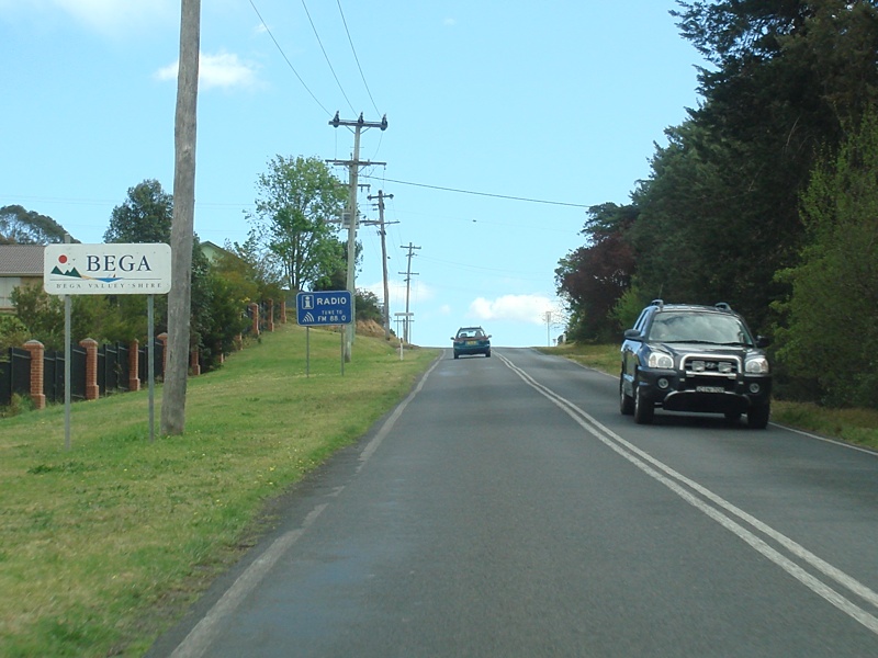 |
Entering Bega: Tathra Rd as it enters Bega near Glen Mia estate, October 2010. Image © Paul Rands |
|
 |
Sapphire
Coast Drive: Corner of Tathra Rd (TD9) and Sapphire Coast Dr (TD11) at Kalaru. The TD11 duplex ends at this junction. May 2011. Click here for a photo of this location by Paul Rands from October 2010. Image © Paul Rands |
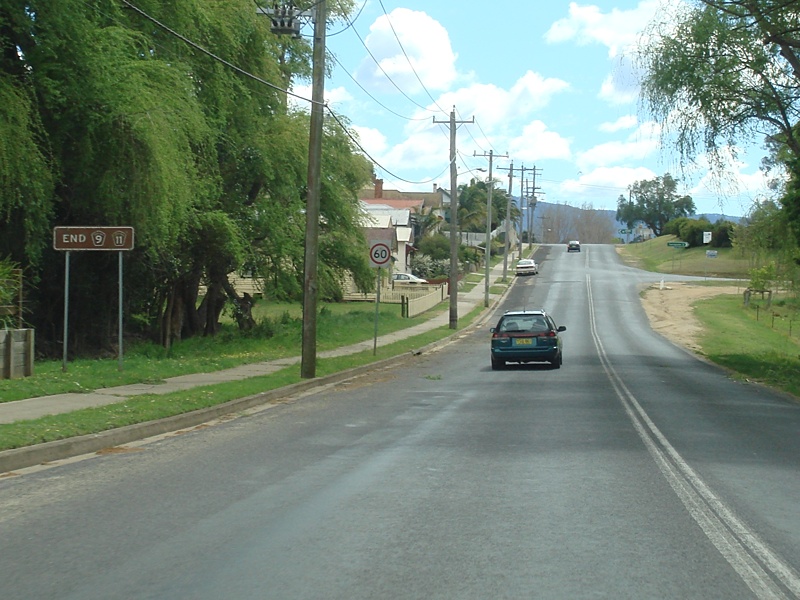 |
End Tourist Drive 9: End TD sign between Upper St and Tarraganda Ln in Bega, October 2010. Image © Paul Rands |
|
 |
Thomsons
Road: Corner of Thomsons Rd and Tathra Rd on the outskirts of Tathra, October 2010. Image © Paul Rands |
 |
Tarraganda Lane: Corner of Tathra Rd and Tarraganda Ln in Bega, October 2010. Image © Paul Rands |
|
|
Entering
Tathra: Tathra Rd as it enters the town of Tathra, October 2010. Image © Paul Rands |
 |
Intersection Directional Sign: ID sign assembly on the corner of Carp St and East St in Bega, October 2010. Image © Paul Rands |
|
 |
Tathra: Tathra Road (Bega Street) as it passes Lawrence Park in Tathra, October 2010. Image © Paul Rands |
 |
Advance Directional Sign: AD sign on Carp St approaching the former NR1 intersection (Princes Hwy) in Bega, October 2010. Image © Paul Rands |
|
 |
Advance
Directional Sign Assembly: Collection of signs forming an advance directional sign approaching Tathra Street in Tathra, October 2010. Image © Paul Rands |
 |
Corner of Carp Street & Gipps Street: End of Tourist Drive 9 in Bega CBD, October 2010. Image © Paul Rands |
|
 |
Tathra
Street junction: Corner of Tathra Rd (Bega St) and Tathra St in Tathra, October 2010. Image © Paul Rands |
|||
 |
Intersection Directional Sign: Corner of Tathra Rd (TD9), Bega St (TD9) and East Ln, Tathra, January 2010. TD11 is signposted in error. Image © Paul Rands |
|||
| Click here for the continuation of Tourist Drive 9 between Tathra and Bermagui | ||||
1 Roads & Traffic Authority, Schedule of Classified Roads (and unclassified Regional Roads), February 2009
Last updated: 13-Aug-2020 13:45
This site © Paul Rands. All rights reserved. Some portions © (copyright) by their respective and credited owners. Permission must be obtained before using any images from this site. For details, please email by clicking here.