|
|
|
|
|
 |
Terralong Street, Jamberoo Road, Jamberoo Mountain Road, Illawarra Highway, Sheepwash Road & Kangaloon Road (State Route 80) (Decommissioned) |
Statistics:
Route Numbering:


General Information:
State Route 80 is a route the connects the NSW Southern Highlands with the south coast. It's a rural road, passing through residential, commercial and farming areas, as well as large tracts of bushland. As it crosses the Illawarra Escarpment, it's quite steep and windy.
The Jamberoo Road section of the route is the former Main South Coast Road. 2
Multiplexes along the route include:
History:

| Bowral to Kiama | Kiama to Bowral | |||
| Preview: | Description: | Preview: | Description: | |
 |
Intersection Directional Sign: ID sign facing Minnamurra Falls Rd at Jamberoo, June 2006. Image © Paul Rands |
 |
Advance Directional Sign: AD sign on Collins St (former NR1) as you approach Terralong Street at Kiama, January 2006. Image © Paul Rands |
|
 |
Advance Directional Sign: AD sign on Jamberoo Mtn Rd (SR80 / TD9) approaching Jamberoo Rd, June 2006. SR80 and TD9 turn right at this junction Image © Paul Rands |
 |
Kiama Town Centre: Westbound along Terralong Street, leaving the Kiama CBD, January 2006. Image © Paul Rands |
|
 |
Intersection Directional Sign: ID sign facing Jamberoo Mtn Rd (SR80 / TD9) at the junction with Jamberoo Rd, June 2006. SR80 and TD9 turn right at this junction Image © Paul Rands |
 |
Priority Road Warning Sign: Rare priority road warning sign on the Havilah Place roundabout at Kiama. These signs were phased out in the mid 1980s, January 2006. Image © Paul Rands |
|
 |
Intersection Directional Sign: ID sign on Jamberoo Rd (SR80 / TD9) at the junction with Wyalla Rd in Jamberoo town centre, June 2006. SR80 and TD9 turn left at this junction Image © Paul Rands |
 |
Princes Highway & Spring Creek Drive: Advance directional signage on Jamberoo Road for Spring Creek Road, which is the left-in left-out access with the Princes Highway (NR1), January 2006. Image © Paul Rands |
|
 |
Town Centre: SR80 as it passes through the Jamberoo town centre, June 2006. Image © Paul Rands |
 |
Intersection Directional Sign: ID sign on Jamberoo Rd (SR80 / TD9) at the junction with Wyalla Rd in Jamberoo town centre, June 2006. SR80 and TD9 turn right at this junction Image © Paul Rands |
|
 |
Trailblazer: TD9 trailblazer in Jamberoo, June 2006. Image © Paul Rands |
 |
Advance Directional Sign: AD sign on Jamberoo Rd (SR80 / TD9) approaching the unnumbered section of Jamberoo Rd and also Jamberoo Mtn Rd (SR80 / TD9), June 2006. SR80 and TD9 turn leftt at this junction Image © Paul Rands |
|
 |
Approaching Fountaindale Road: ID sign acting as AD sign approaching Fountaindale Rd at Jamberoo, June 2006. Image © Paul Rands |
 |
Intersection Directional Sign: ID sign at the junction Jamberoo Mtn Rd (SR80 / TD9) and unnumbered section of Jamberoo Rd, June 2006. SR80 and TD9 turn left at this junction Image © Paul Rands |
|
 |
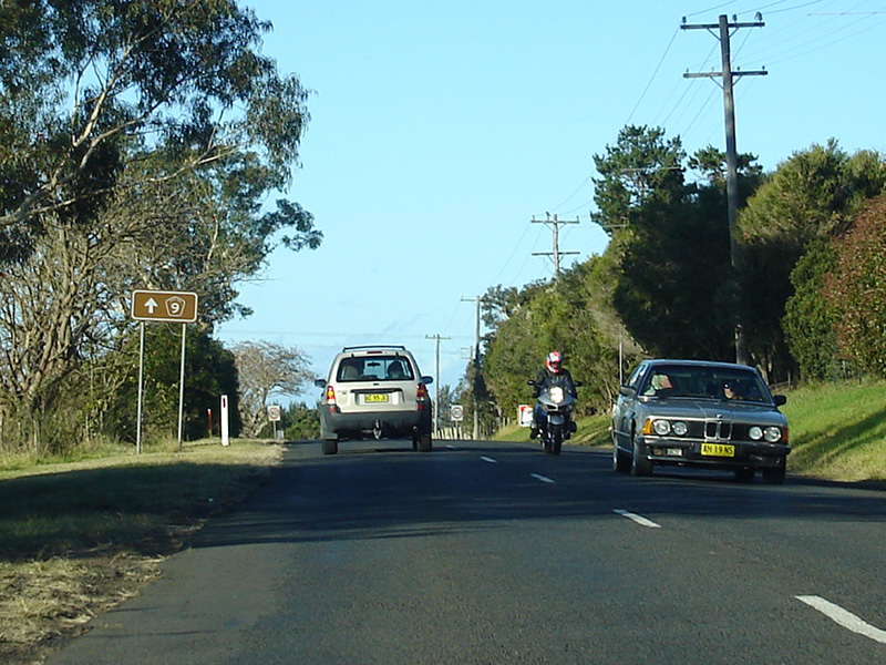
5km Winding Road: Jamberoo Road as it begins to wind its way through the hills between Jamberoo and Kiama, June 2006. Image © Paul Rands |
 |
Tourism Based Distance Sign: Tourist reassurance directional sign on Jamberoo Mtn Rd (SR80 / TD9) at Jamberoo, June 2006. Image © Paul Rands |
|
 |
Intersection Directional Sign: ID sign at Swamp Rd junction near Jamberoo, June 2006. Image © Paul Rands |
 |
Distance Sign: Reassurance directional sign on Jamberoo Mtn Rd (SR80 / TD9) at Jamberoo, June 2006. Image © Paul Rands |
|
 |
Winding Road: Jamberoo Road as winds its way through the hills between Jamberoo and Kiama, June 2006. Image © Paul Rands |
 |
Intersection Directional Sign: ID sign at the junction with Minnamurra Falls Rd at Jamberoo, June 2006. Image © Paul Rands |
|
 |
Intersection Directional Sign: ID sign at Riversdale Rd and Jerrara Rd junction near Kiama, June 2006. Image © Paul Rands |
 |
Advance Directional Sign: AD sign on Illawarra Hwy (NR48) at Robertson approaching Jamberoo Mountain Rd (SR80 / TD9), April 2006. Image © Paul Rands |
|
 |
Trailblazer: TD9 trailblazer near Kiama, June 2006. Image © Paul Rands |
 |
Jamberoo Mountain Road: Corner of Illawarra Hwy (NR48) and Jamberoo Mtn Rd (SR80 / TD9) at Robertson, April 2006. The NR48 duplex begins here. Image © Paul Rands |
|
 |
Entering Kiama: Jamberoo Rd (SR80 / TD9) as it enters Kiama, June 2006. Image © Paul Rands |
 |
Distance Sign: RD sign at Robertson after the Jamberoo Mountain Rd junction, April 2006. Note the missing SR80 and TD9 shields. Image © Paul Rands |
|
 |
Spring Creek Road & Princes Highway: Jamberoo Rd (SR80 / TD9) at the junction with Spring Creek Rd and the overpass of Princes Hwy (NR1) in Kiama, June 2006. Spring Ck Rd acts as access to the highway. Image © Paul Rands |
 |
Entering Robertson: Illawarra Hwy (NR48) as it enter the Robertson town centre, April 2006. Image © Paul Rands |
|
 |
End Tourist Drive 9: End TD9 trailblazer on Spring Ck Rd in Kiama approaching Princes Hwy (NR1), June 2006. Image © Paul Rands |
 |
Advance Directional Sign: AD sign in Robertson near Main St approaching Meryla St (TD15), April 2006. Image © Paul Rands |
|
 |
Advance Directional Sign: AD sign on Spring Creek Rd at Kiama approaching Princes Hwy (NR1), June 2006. Image © Paul Rands |
 |
Advance Directional Sign: AD sign in Robertson near Caalong St approaching Meryla St (TD15), April 2006. The TD15 duplex begins here. Image © Paul Rands |
|
 |
Distance Sign: RD sign at Robertson, April 2006. Image © Paul Rands |
|||
 |
Distance Sign: RD sign at Robertson near Pearsons Ln, April 2006. The TD14 duplex ends at Pearsons Ln. Image © Paul Rands |
|||
 |
McGraths Road: Junction with McGraths Rd in Burrawang, April 2006. The old road between Robertson and Moss Vale used to travel via Burrawang's town centre. Image © Paul Rands |
|||
 |
Distance Sign: Reassurance directional sign at Burrawang, April 2006. Image © Paul Rands |
|||
 |
Church Street: Junction Church St in Burrawang, April 2006. The old road between Robertson and Moss Vale used to travel via Burrawang's town centre. Image © Paul Rands |
|||
 |
Alphanumeric RD Sign: RD sign at Burrawang, December 2007. Click here for a photo from April 2006 of the old sign. Image © Paul Rands |
|||
 |
Advance Directional Sign: AD sign at Avoca approaching Sheepwash Rd (SR80), April 2006. Image © Paul Rands |
|||
 |
Sheepwash Road: Illawarra Hwy (NR48 / SR80) at the Sheepwash Rd (SR80) intersection in Avoca, April 2006.The NR48 duplex ends at this junction. Image © Paul Rands |
|||
 |
Advance Directional Sign: AD sign on the unnumbered section of Sheepwash Rd at Avoca approaching the SR80 section of Sheepwash Rd and Illawarra Hwy (NR48), April 2006. Image © Paul Rands |
|||
1 Roads & Traffic Authority, Schedule of Classified Roads and State & Regional Roads, January 2011
2 Sydney Morning Herald, Walkabout travel guide: Jamberoo
Last updated: 17-Dec-2019 0:55
This site © Paul Rands. All rights reserved. Some portions © (copyright) by their respective and credited owners. Permission must be obtained before using any images from this site. For details, please email by clicking here.