|
|
|
|
|
| Bourke Street, Kembla Street, Corrimal Street, Springhill Road, Five Islands Road, King Street, Primbee Deviation, Windang Road & Shellharbour Road (State Route 151) - Windang to Dunmore (Decommissioned) |
Statistics:

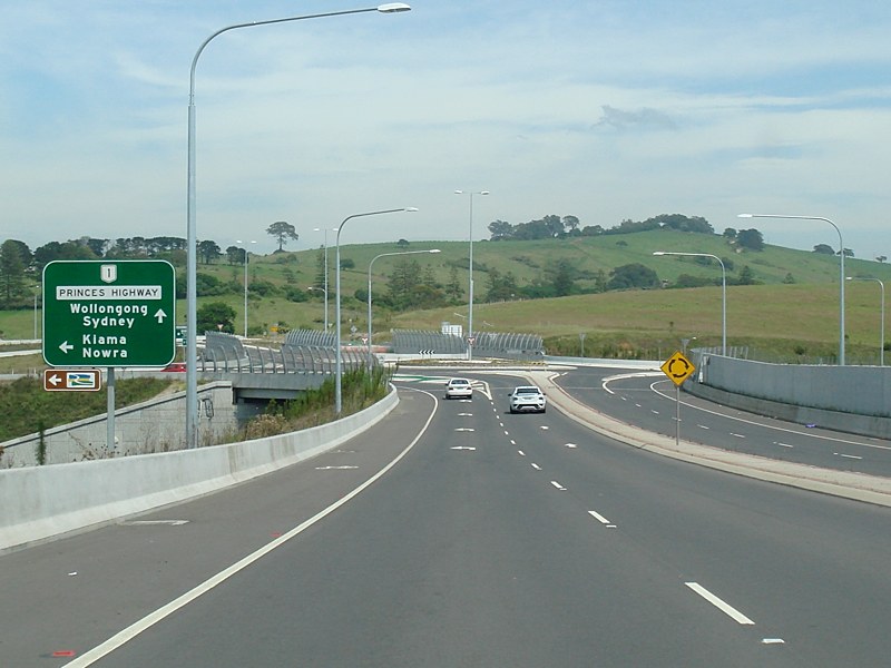
State Route 151 is a collection of routes in the Illawarra region, south of Sydney that are strung together to form a major through route from Wollonong to Dunmore. The route can be used as an alternate route to the Princes Highway (SR60) which takes an inland route. SR151 follows the coast most of the way instead. In fact part of the route (Shellharbour to Dunmore) once formed the main route from Wollongong to the South Coast. Some of the route forms part of Grand Pacific Drive.
History:Click here for photos of the former alignment in the Shellharbour to Dunmore area
| Dunmore To Windang | Windang To Dunmore | |||
| Preview: | Description: | Preview: | Description: | |
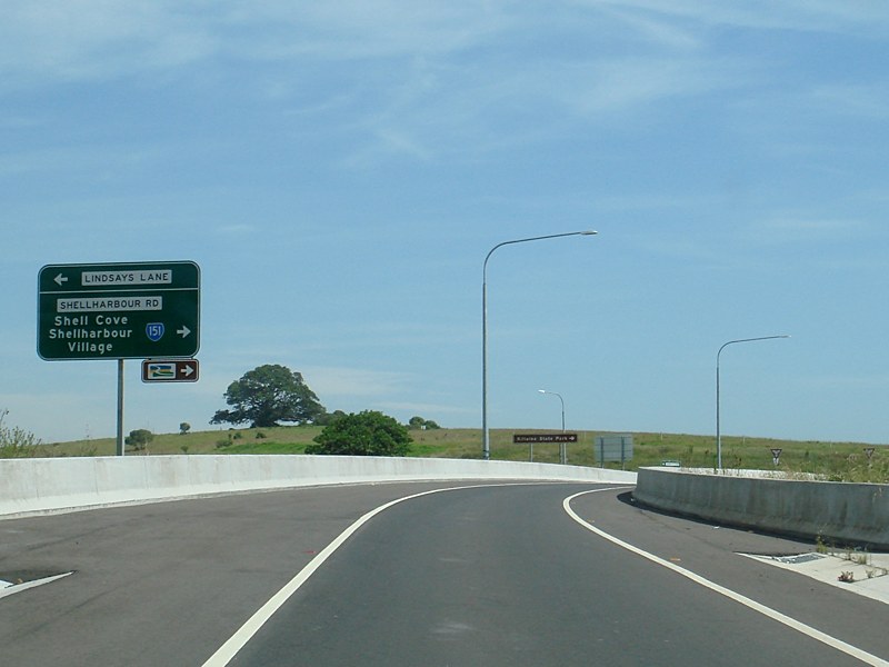 |
Advance Directional Sign: AD sign at Dunmore on the interchange with Princes Hwy (NR1) and Lindsays Ln, November 2010. Image © Paul Rands |
 |
Windang: Shellharbour Rd (SR151) as it passes through Windang, June 2010. Image © Paul Rands |
|
 |
Supplemental Advance Directional Sign: Supplemental AD sign at Dunmore on the interchange with Princes Hwy (NR1) and Lindsays Ln, November 2010. Image © Paul Rands |
 |
Windang
Bridge: Windang Bridge over Lake Illawarra, June 2010. Image © Paul Rands |
|
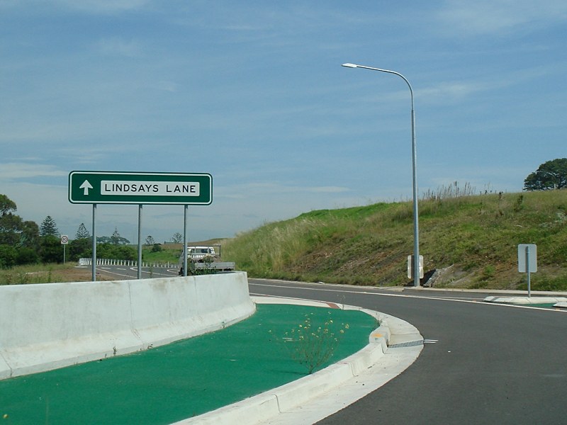 |
Intersection Directional Sign: ID sign at Dunmore on the interchange with Princes Hwy (NR1) and Lindsays Ln, November 2010. Image © Paul Rands |
 |
Trailblazer: Grand Pacific Dr trailblazer on Shellharbour Rd at Lake Illawarra, June 2010. Image © Paul Rands |
|
 |
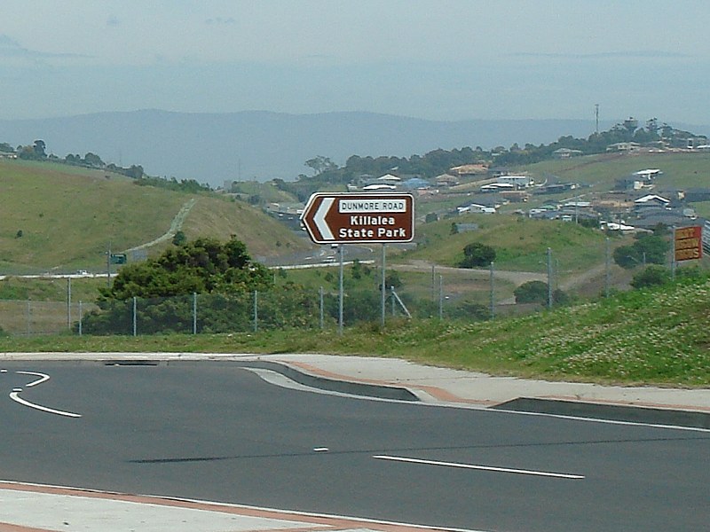
Advance Directional Sign: AD sign at Dunmore on the interchange with Princes Hwy (NR1) and Lindsays Ln, approaching the roundabout with Dunmore Rd (former SR151), November 2010. Image © Paul Rands |
 |
Entering
Warilla: Shellharbour Rd (SR151) near Woolworths Av at Warilla, June 2010. Image © Paul Rands |
|
 |
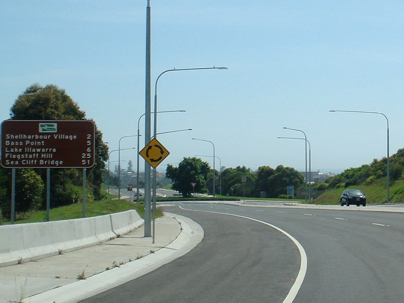
Intersection Directional Sign: ID sign at Flinders on the roundabout with Dunmore Rd (former SR151), November 2010. Image © Paul Rands |
 |
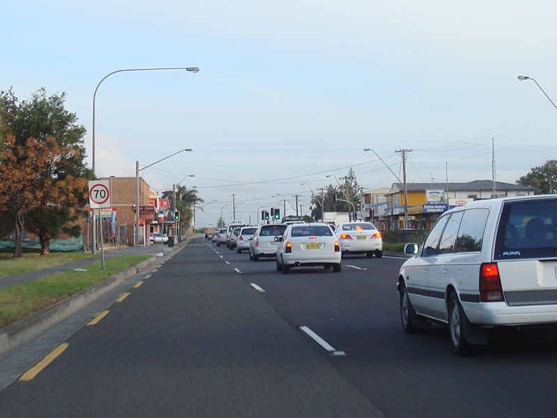
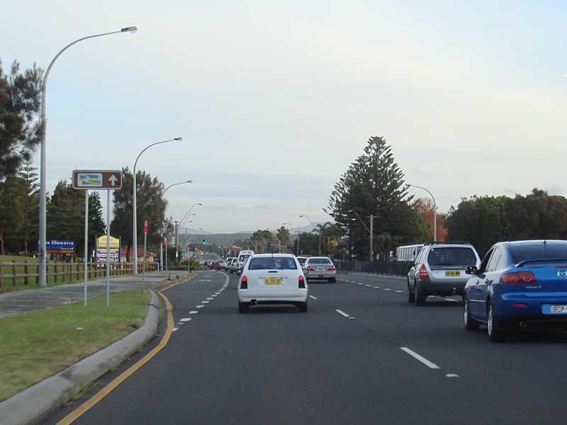
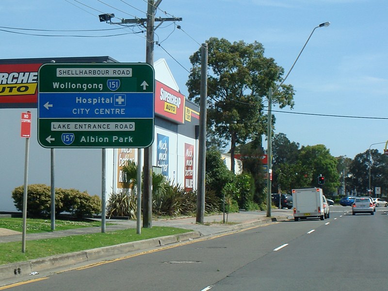
Advance
Directional Sign: AD sign on Shellharbour Rd (SR151) approaching Lake Entrance Rd (SR157) and George St in Warilla, November 2010. Image © Paul Rands |
|
 |
Intersection Directional Sign: ID sign at Flinders on the roundabout with Dunmore Rd (former SR151), November 2010. Image © Paul Rands |
 |
Distance sign: RD sign at Warilla, November 2010. Image © Paul Rands |
|
 |
Distance sign: RD sign at Flinders after the Princes Hwy (NR1) and Lindsays Ln interchange, November 2010. Image © Paul Rands |
 |
Grand Pacific Drive Distance sign: RD sign at Warilla, November 2010. Image © Paul Rands |
|
 |
Grand Pacific Drive Distance sign: RD sign at Flinders, November 2010. Image © Paul Rands |
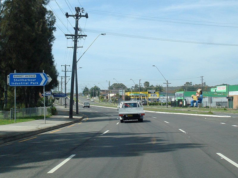 |
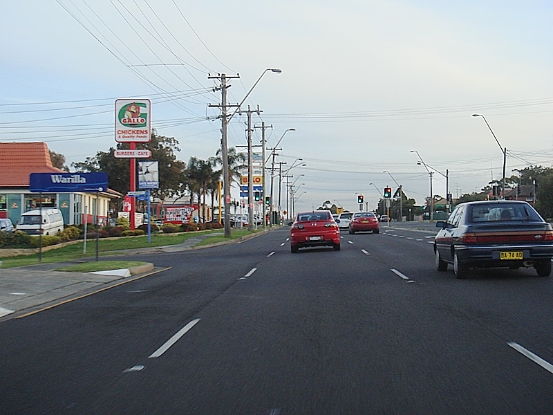
Sunset Avenue: Corner of Shellharbour Rd (SR151) and Sunset Av in Warilla, November 2010. Image © Paul Rands |
|
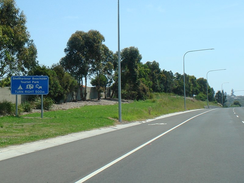 |
Services Sign: Advance directional sign approaching the entrance to Shellharbour Beach Caravan Park, November 2010. Image © Paul Rands |
 |
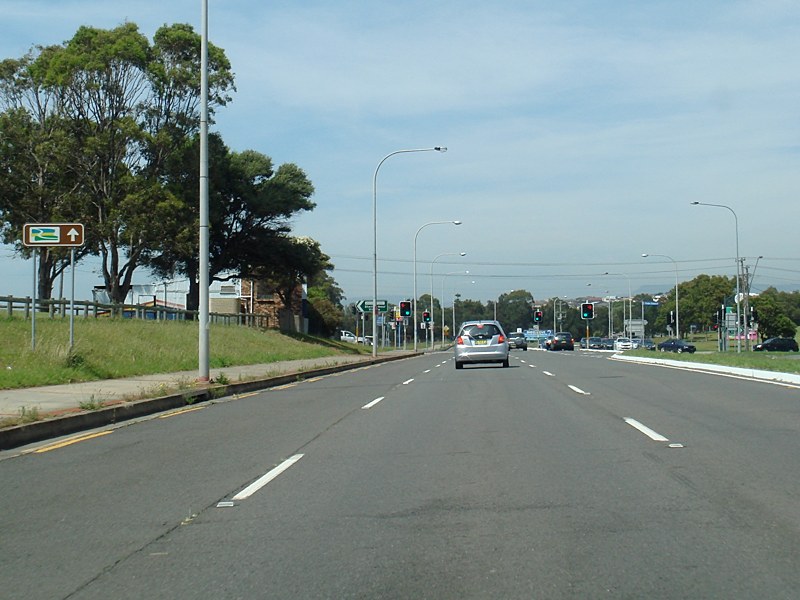
Entering Barrack Heights: Shellharbour Rd (SR151) as it enters the town of Barrack Heights, November 2010. Image © Paul Rands |
|
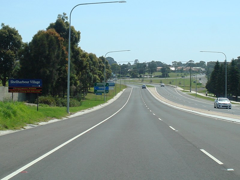 |
Entering Shellharbour: Shellharbour Rd (SR151) as it enters Shellharbour, November 2010. Image © Paul Rands |
 |
Woodlands Drive: Corner of Shellharbour Rd (SR151) and Woodlands Dr in Barrack Heights, November 2010. Image © Paul Rands |
|
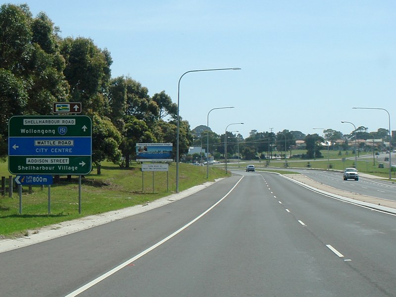 |
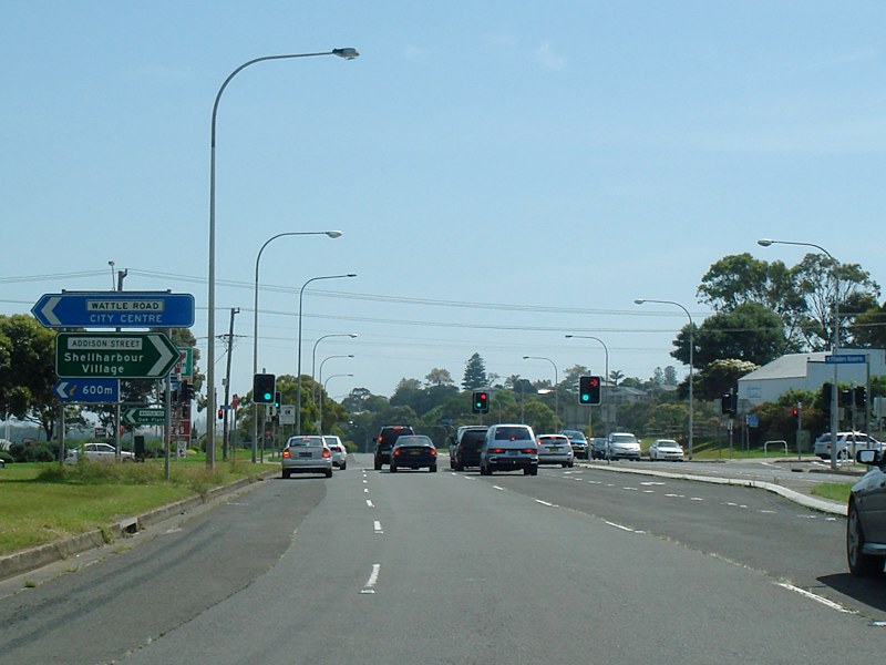
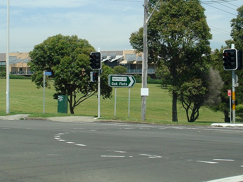
Advance Directional Sign: AD sign approaching Addison St and Wattle Rd in Shellharbour, November 2010. Click here for a photo of the sign prior to coverplating from January 2006. Image © Paul Rands |
 |
Advance Directional Sign: AD sign approaching Addison St and Wattle Rd in Shellharbour, November 2010. Image © Paul Rands |
|
 |
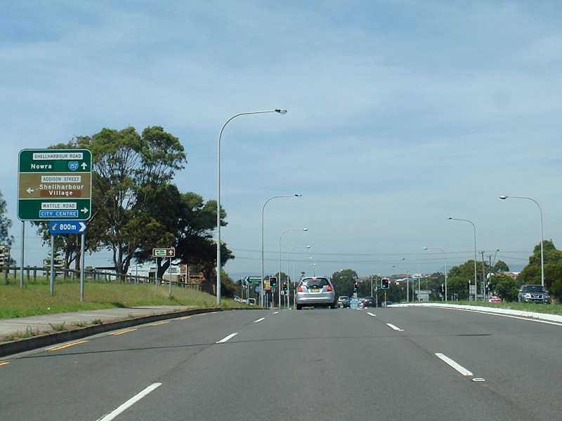
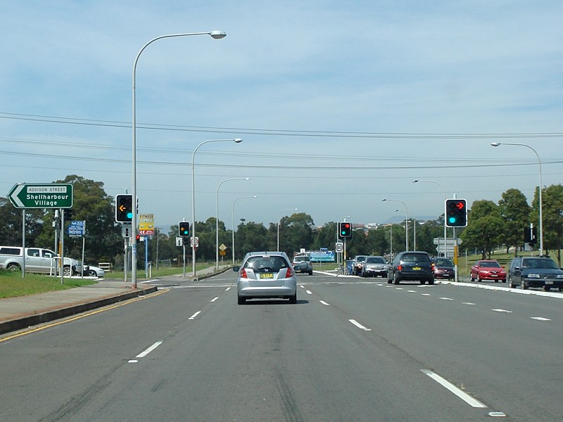
Addison
Street and Wattle Road
Intersection: Northbound at Shellharbour outside the cemetery and Shellharbour Workers Club, November 2010. Image © Paul Rands |
 |
Trailblazer: Grand Pacific Drive trailblazer at Shellharbour, November 2010. Image © Paul Rands |
|
 |
Addison
Street and Wattle Road
Intersection: Northbound at Shellharbour outside the cemetery and Shellharbour Workers Club, November 2010. Image © Paul Rands |
 |
Addison Street & Wattle Road: Shellharbour Rd (SR151) at the Addison St & Wattle Rd junction in Shellharbour, November 2010. Image © Paul Rands |
|
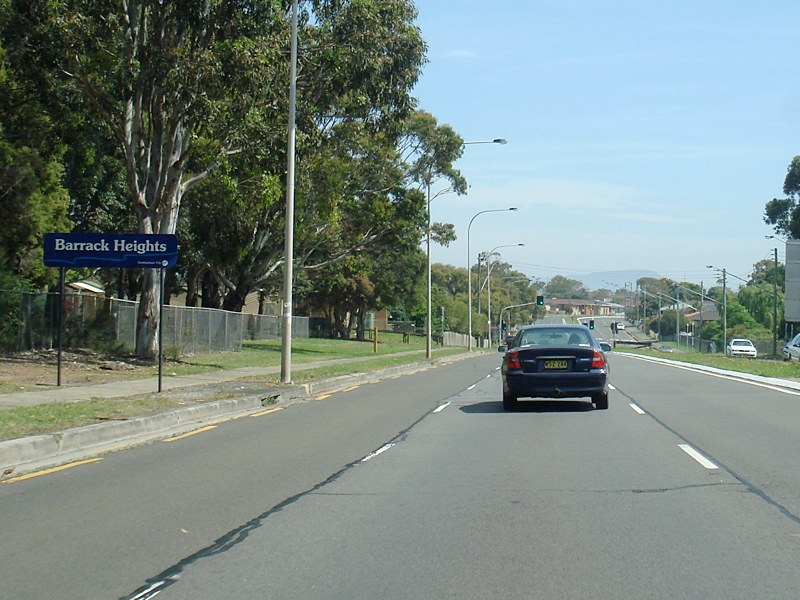 |
Entering Barrack Heights: Shellharbour Rd (SR151) as it enters the town of Barrack Heights, November 2010. Image © Paul Rands |
 |
Addison Street & Wattle Road: Shellharbour Rd (SR151) at the Addison St & Wattle Rd junction in Shellharbour, November 2010. Image © Paul Rands |
|
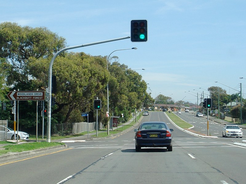 |
Woodlands Drive: Corner of Shellharbour Rd (SR151) and Woodlands Dr in Barrack Heights, November 2010. Image © Paul Rands |
 |
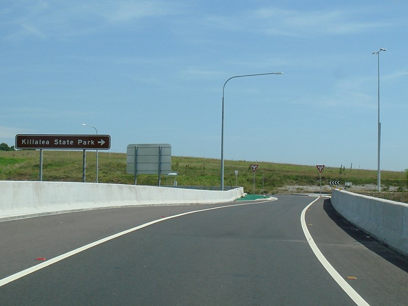
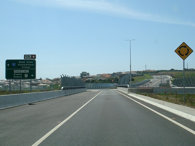
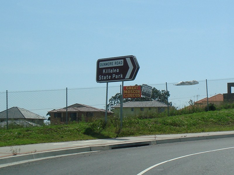
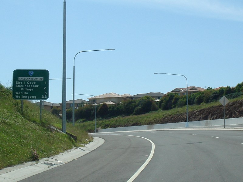
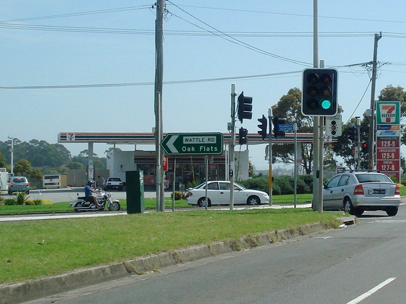
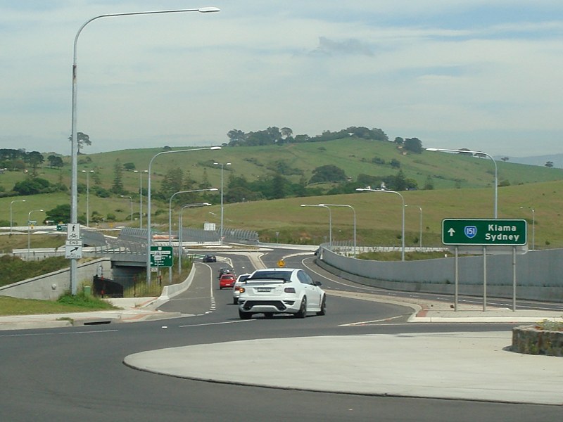
Advance Directional Sign: AD sign at Shell Cove, approaching the roundabout with Dunmore Rd (former SR151), November 2010. Image © Paul Rands |
|
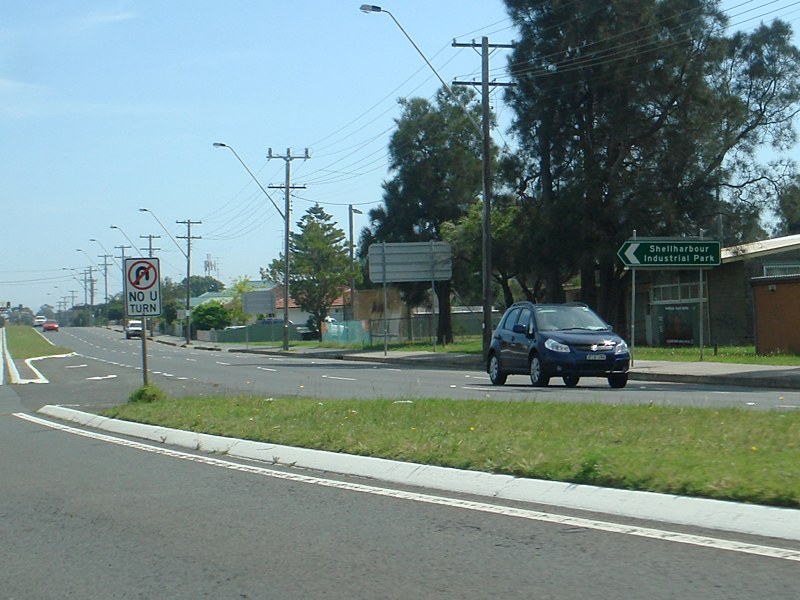 |
Sunset Avenue: Corner of Shellharbour Rd (SR151) and Sunset Av in Barrack Heights, November 2010. Image © Paul Rands |
 |
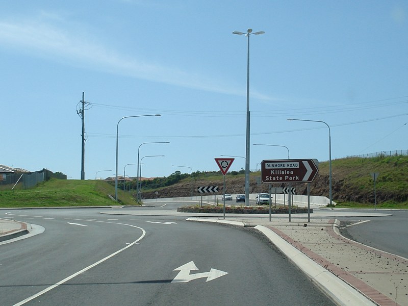
Intersection Directional Sign: ID sign at Shell Cove on the roundabout with Dunmore Rd (former SR151), November 2010. Image © Paul Rands |
|
 |
Entering Warilla: Shellharbour Rd as it enters Warilla, November 2010. Image © Paul Rands |
 |
Intersection Directional Sign: ID sign at Shell Cove on the roundabout with Dunmore Rd (former SR151), November 2010. Image © Paul Rands |
|
 |
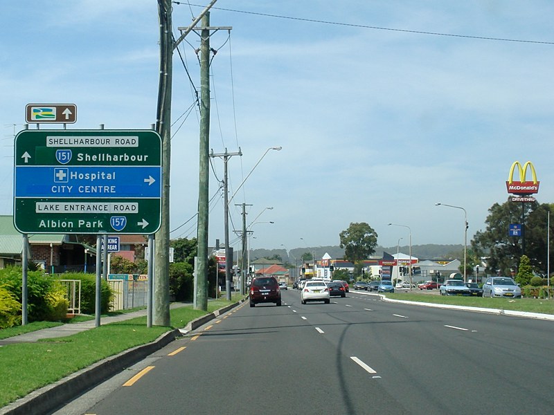
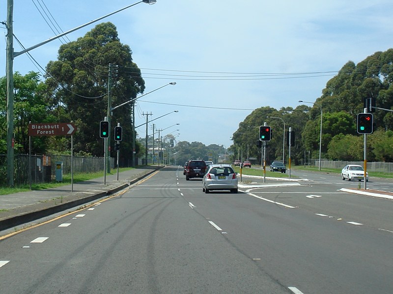
Lake
Entrance Road Intersection
Approach: Northbound at Warilla as you approach the corner of Shellharbour Road, Lake Entrance Road (SR157) and George Street, November 2010. Image © Paul Rands |
 |
Intersection Directional Sign: ID sign at Shell Cove on the roundabout with Dunmore Rd (former SR151), November 2010. Image © Paul Rands |
|
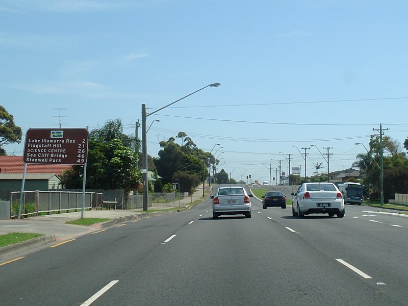 |
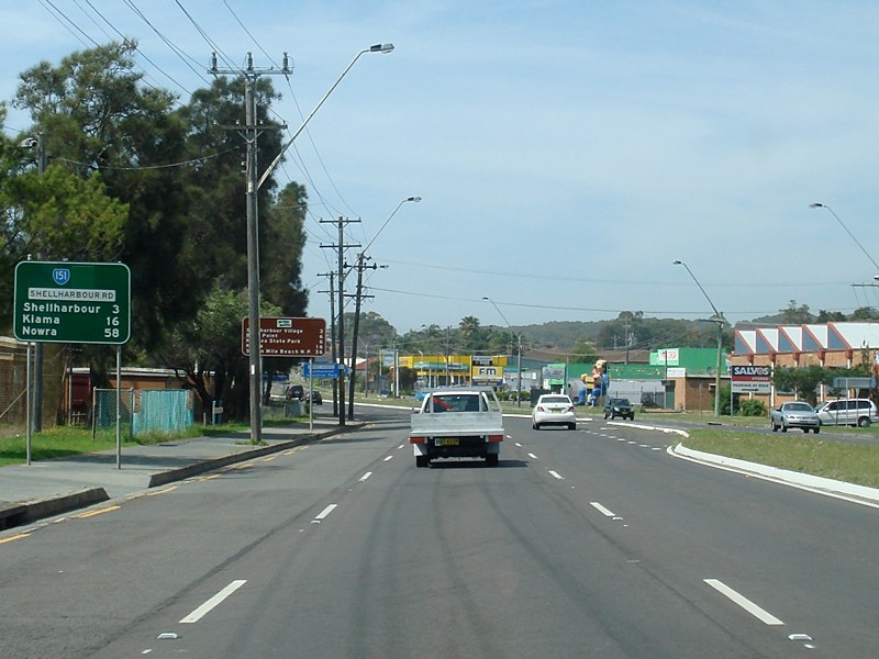
Distance Sign: RD sign at Warilla for Grand Pacific Drive, which follows Shellharbour Road through this area, November 2010. Image © Paul Rands |
 |
Advance Directional Sign: AD sign at Dunmore on the interchange with Princes Hwy (NR1) and Lindsays Ln, November 2010. Image © Paul Rands |
|
 |
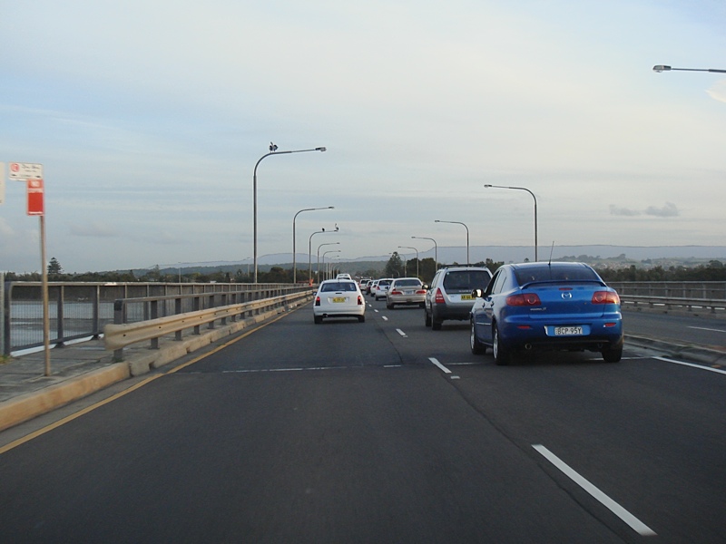
Windang
Bridge: Built in the very early 70s, this bridge crosses the southern inlet of Lake Illawarra. Northbound, December 2005. Image © Paul Rands |
 |
Intersection Directional Sign: ID sign at Dunmore on the interchange with Princes Hwy (NR1) and Lindsays Ln, November 2010. Image © Paul Rands |
|
 |
Windang
Town Centre: Northbound through the Windang town centre, January 2006. Note the right hand front traffic signal - it has an all traffic sign mounted on the post which faces Boronia Avenue. Painted on the back of it is the town name Figtree and an arrow. This sign was probably installed during 1970s. A guess would be that this sign was recycled from roadworks for the Southern Fwy (NR1). The sign has since been replaced. Image © Paul Rands |
|||
 |
Northbound
at Windang: Passing the Oasis caravan park and approaching the old 2WL AM radio transmitter, January 2006. Image © Paul Rands |
|||
| Click here for the contiunation of SR151 between North Wollongong and Windang | ||||
1 Roads
& Traffic Authority
2 Vincent Muller
Last updated: 17-Dec-2019 0:55
This site © Paul Rands. All rights reserved. Some portions © (copyright) by their respective and credited owners. Permission must be obtained before using any images from this site. For details, please email by clicking here.