|
|
|
|
|
 |
Great Western Highway, Mitchell Highway & Barrier Highway (National Route 32) - Wellington to Molong (Decommissioned) |
Statistics:
Route Numbering:
General Information:
National Route 32 is the main route linking the New South Wales state capital, Sydney, with the west of the state. The road varies from arterial road conditions, rural expressway and rural highway.
The Mitchell Highway links north-western NSW with Dubbo, Bathurst and eventually Sydney.The highway starts at Bathurst as National Route 32 and heads west through the Great Dividing Range to Orange then continues north through Molong, Wellington and Dubbo. From Dubbo, the highway follows the Bourke railway line in a north-westerly direction to Nyngan. The highway's route number changes to NR71 (after the Barrier Highway junction at Nyngan), and then it continues north-west to Bourke and terminates at the QLD border, just north of Barringun.
The Mitchell Highway is named after Major Thomas Mitchell, who was Surveyor-General of New South Wales in the 1820s and explored much of inland New South Wales and Victoria.
History:
| Molong to Wellington | Wellington to Molong | |||
| Preview: | Description: | Preview: | Description: | |
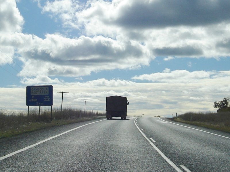 |
Rest Area Sign: AD sign for the Gamboola Rest Area. Looking northwest at Belgravia, July 2006 Image © Paul Rands |
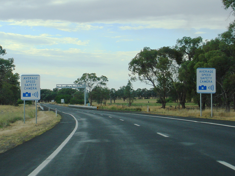 |
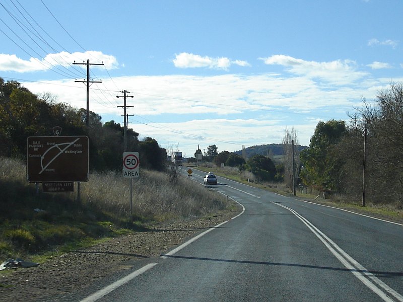
Average Speed Safety Camera Zone: The beginning of the point-to-point speed camera zone at Cundumbul. December 2012. Image © Paul Rands |
|
 |
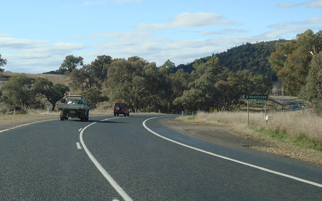
Tantallon Road Intersection: Looking northwest at Tantallon Road, Jul 2006. Image © Paul Rands |
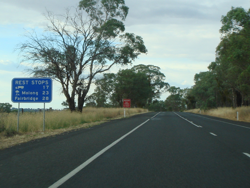 |
Distance Sign: Reassurance directional sign for rest areas, Larras Lee. December 2012. Image © Paul Rands |
|
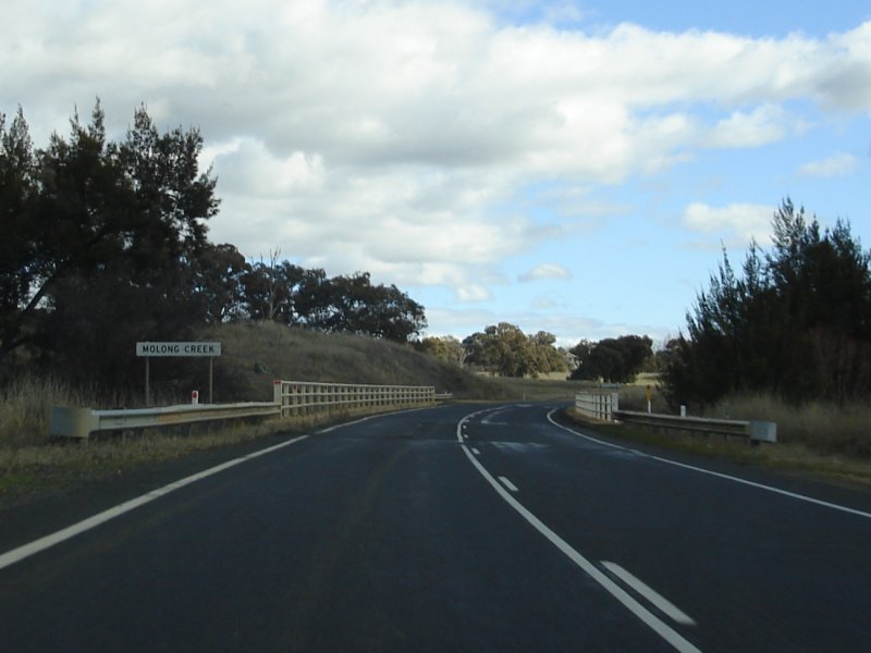 |
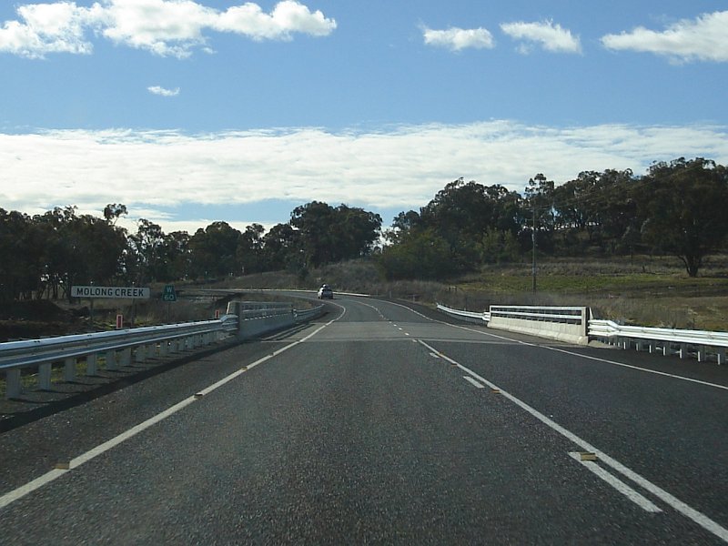
Molong Creek: Entering Molong, July 2006. Image © Paul Rands |
 |
End Average Speed Safety Camera Zone: The end of the point-to-point speed camera zone at Molong. December 2012. Image © Paul Rands |
|
 |
50km/h Town Sign: Sign indicating that all speed limits on local streets in Molong is 50 km/h, July 2006. Image © Paul Rands |
 |
Black Advance Directional Sign: Black AD sign approaching Edward St in Molong, August 2011. |
|
 |
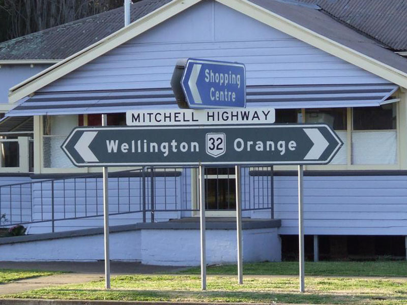
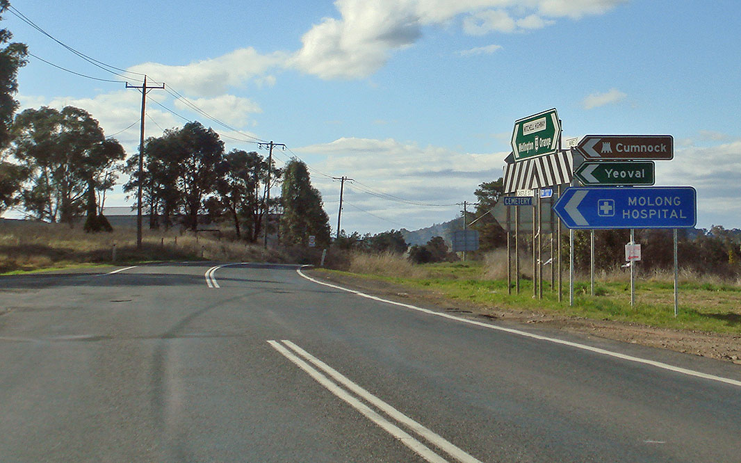
AD Sign: Signage as you approach the intersection with Wellington Street at Molong. July 2006. The route numbers should be prefixed with 'To'. Image © Paul Rands |
 |
Edward Street: Corner of Mitchell Hwy (NR32) and Edward St (SR81 / unnumbered) at Molong, December 2002. Image © Michael Greenslade |
|
 |
Wellington Street: NR32 as it passes Wellington St, Molong, July 2006. Image © Paul Rands |
 |
Black Advance Directional Sign: Black AD sign approaching Gidley St in Molong, August 2011. |
|
 |
Black AD Sign: Black directional sign as you approach the Bank Street intersection, Molong, July 2006. Image © Paul Rands |
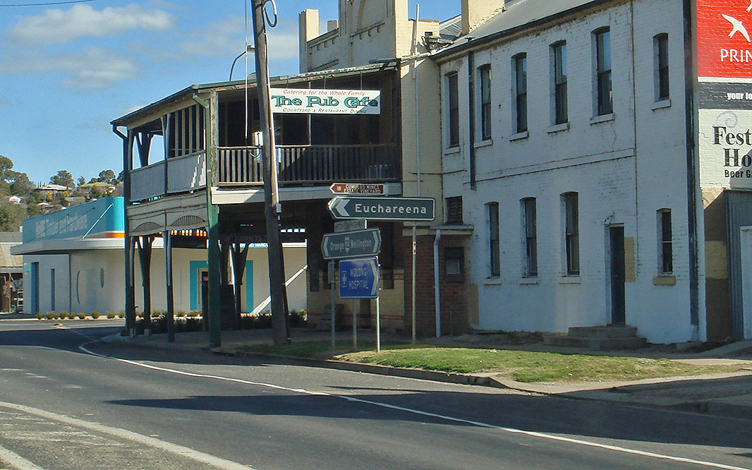 |
Black Sign Assembly: Signs as you head northbound at the Euchareena Rd intersection in Molong, August 2011. Image © Paul Rands |
|
 |
Bank Street Intersection: Northbound at the junction with Bank St at Molong, July 2006. Image © Paul Rands |
 |
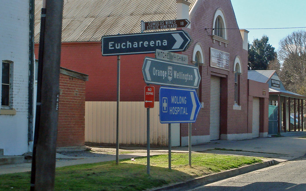
Black Interesection Directional Sign: Black ID sign facing Euchareena Rd in Molong, August 2011. Image © Paul Rands |
|
 |
Black Intersection Directional Sign: Black ID sign facing Bank St, Molong, August 2011. Image © Paul Rands |
 |
Bank Street Intersection: Corner of Mitchell Hwy (NR32) and Bank St at Molong, July 2006. Image © Paul Rands |
|
 |
Black Sign Assembly : Signs as you head northbound at the Euchareena Rd intersection in Molong, August 2011. Image © Paul Rands |
 |
AD Sign: Advance directional sign approaching Wellington Street at Molong. August 2011. The route numbers should be prefixed with 'To'. Image © Paul Rands |
|
 |
Gidley Street intersection: Passing through the Gidley St junction in Molong, July 2006. Image © Paul Rands |
|||
 |
Black Intersection Directional Sign: Black ID sign assembly facing Gidley St at Molong, August 2008. Image © Richard Wardle |
|||
 |
Black AD Sign: Westbound at the intersection with Edward Street in Molong, August 2011. Image © Paul Rands |
|||
 |
Edward Street Intersection: ID sign at Edward Street, indicating the road is known as Peabody Road, July 2006. Image © Paul Rands |
|||
 |
ID Sign: Intersection directional sign at Hill Street in Molong, July 2006. Image © Paul Rands |
|||
 |
Distance Sign: Northbound RD sign as you leave Molong, July 2006. Image © Paul Rands |
|||
 |
Tourist Drive Sign: Diagrammatic AD sign approaching Castle Street in Molong, July 2006. Image © Paul Rands |
|||
 |
AD Sign: Advance directional sign approaching Castle Street, Molong, July 2006. Image © Paul Rands |
|||
 |
Intersection Directional Sign: ID sign at the junction with Castle St, Molong, August 2011. Image © Paul Rands |
|||
 |
Black Advance Directional SIgn: Black AD sign on Castle St Molong, approaching Mitchell Hwy, August 2008. Image © Richard Wardle |
|||
 |
Intersection Directional Sign: ID sign facing Castle St, Molong, August 2011. Image © Paul Rands |
|||
 |
Shreeves Road: Corner of Mitchell Hwy (NR32) and Shreeves Rd, Molong, August 2011. Image © Paul Rands |
|||
 |
Molong Creek: Heading northwest over Molong Creek at The Shades, July 2006. Image © Paul Rands |
|||
 |
Shades Road Fingerboard: ID signage at Shades Road, Molong, August 2011. Image © Paul Rands |
|||
 |
Bell River: Crossing Bell River at Larras Lee, August 2011. Image © Paul Rands |
|||
 |
Crocketts Lane Intersection : ID sign for Crocketts Lane at Larras Lee. August 2011. Image © Paul Rands |
|||
 |
Three Rivers Road : Intersection with Three Rivers Road at Larras Lee, August 2011. Image © Paul Rands |
|||
 |
Larras Lee Road: Corner of Mitchell Hwy (NR32) and Larras Lee Rd at Larras Lee, August 2011. Image © Paul Rands |
|||
 |
Bell River : Crossing Bell River again, this time at Eurimbula, July 2006. Image © Paul Rands |
|||
 |
Council Sign: Council area signage approachomg Wongalee Road at Eurimbula, July 2006. Image © Paul Rands |
|||
 |
Typical Conditions: The typical conditions of the Mitchell Hwy as it passes through Cundumbul. July 2006. Image © Paul Rands |
|||
 |
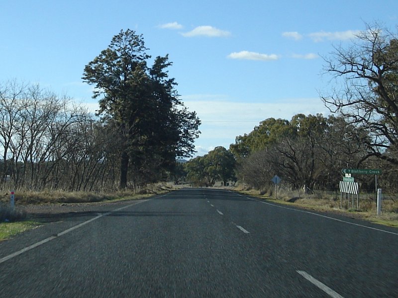
Narrow Bridge Sign : Northbound approaching Blathery Creek at Neurea, July 2006. Image © Paul Rands |
|||
 |
No Overtaking Sign : Northbound approaching Blathery Creek at Neurea, July 2006. Image © Paul Rands |
|||
 |
Blathery Creek: Passing over Blathery Creek at Neurea. July 2006. Image © Paul Rands |
|||
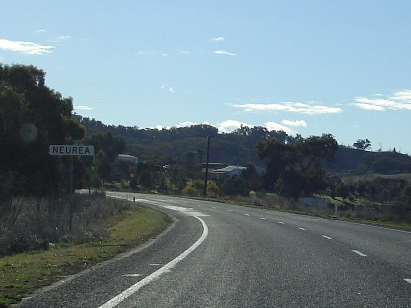 |
Entering Neurea: Northbound in the small town of Neurea, July 2006. Image © Paul Rands |
|||
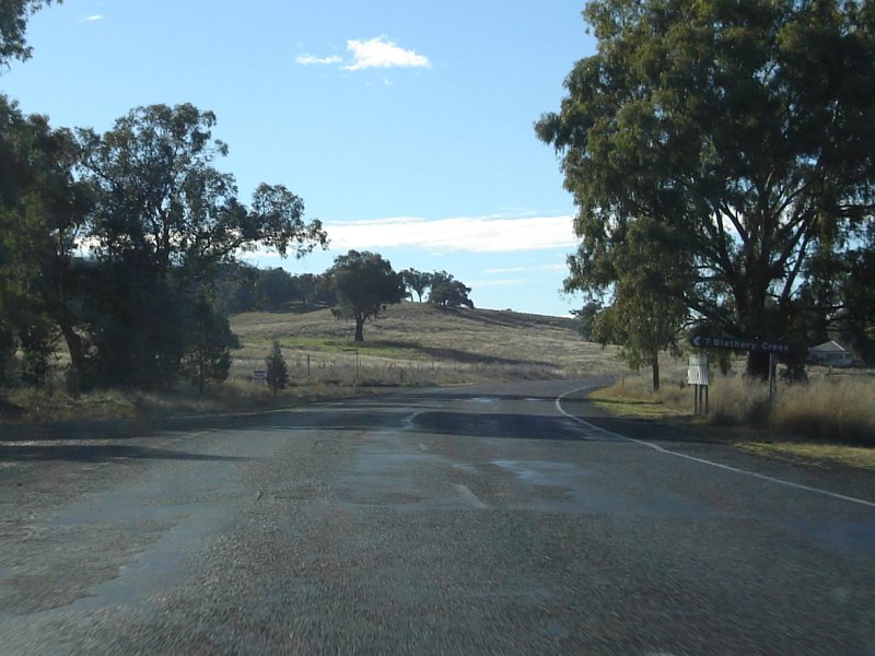 |
Blathery Creek Turnoff: Northbound ID sign at Neurea, July 2006. Image © Paul Rands |
|||
 |
Bell River : Crossing Bell River again, this time at Neurea, July 2006. Image © Paul Rands |
|||
 |
Burrendong Road: Northbound at Black Rock at the Burrendong Road intersection, July 2006. Image © Paul Rands |
|||
Click here for the continuation of NR32 between Molong and Bathurst |
||||
1 Roads and Traffic Authority, Schedule of Classified Roads (and unclassified Regional Roads),
25 February 2008
2 Department of Main Roads.
The Roadmakers, A History of Main Roads in New South Wales, ISBN 0
7240 0439 4
3 Roads & Traffic Authority, Community update, Road activity update – Western NSW, February 2003.
Last updated: 19-Oct-2021 0:22
This site © Paul Rands. All rights reserved. Some portions © (copyright) by their respective and credited owners. Permission must be obtained before using any images from this site. For details, please email by clicking here.