|
|
|
|
|
Statistics:
Route Numbering:
General Information:
Pialligo Avenue is an arterial road linking Canberra Airport and Canberra's eastern suburban area to Queanbeyan.
The route name is of doubtful meaning. Associated with the foundation of settlement in Canberra, the name first appeared on Surveyor Robert Dixon's map of 1829. "Pialligo" is said to be an Aboriginal word for 'a place for a pow-wow', and is also said to mean 'I'll tell you by and by'. 1
History:

| Kowen to Pialligo | Pialligo to Kowen | |||
| Preview: | Description: | Preview: | Description: | |
 |
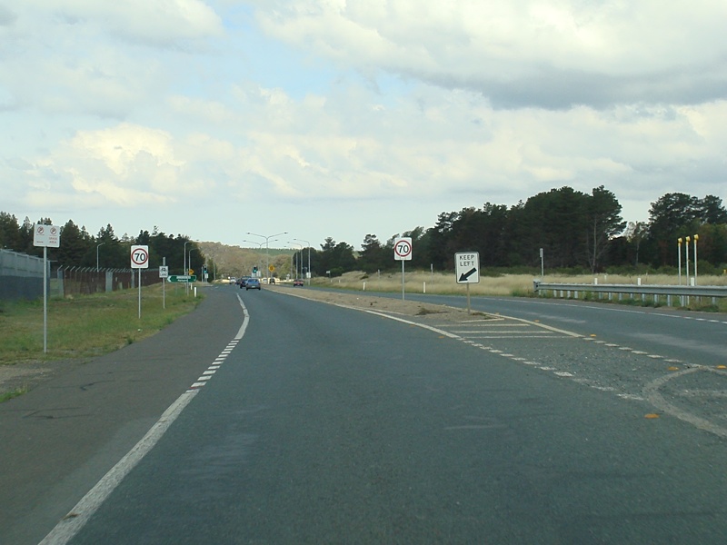
Urban Speed Limit Sign: Sign at Majura indicating the default urban speed limit in the ACT, February 2010. Image © Paul Rands |
 |
Advance Directional Sign: AD sign at Pialligo approaching the Terminal Av exit to Canberra International Airport, December 2014. Image © Paul Rands |
|
 |
Welcome to Ngunnawal Country: Sign welcoming visitors to the area of the local indigenous community, February 2010. Image © Paul Rands |
 |
Advance Directional Sign: AD sign at Pialligo approaching the McCann St and Terminal Av exits to Canberra International Airport, December 2014. Image © Paul Rands |
|
 |
Oaks Estate Road Intersection: Corner of Pialligo Av and Oaks Estate Rd at Majura, February 2010. Note the Overdimensional Route 2 top knot. Image © Paul Rands |
 |
Lane Allocation Signs: Lane allocation signs over Terminal Av, Pialligo, at the entrance to Canberra International Airport, December 2014. Image © Paul Rands |
|
 |
Oaks Estate Road Intersection: Corner of Pialligo Av and Oaks Estate Rd at Majura, February 2010. Image © Paul Rands |
 |
Advance Directional Sign: AD sign at Pialligo approaching Brindabella Circuit, December 2009. Image © Paul Rands |
|
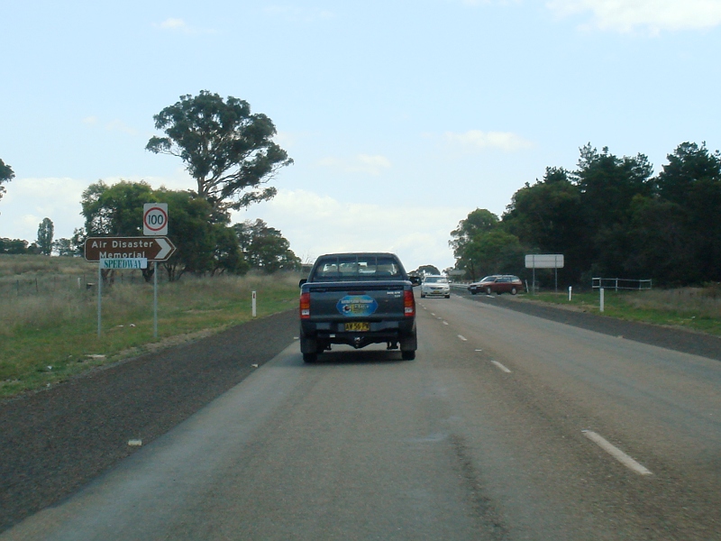 |
Approaching the Air Disaster Memorial & Speedway: Intersection directional sign near the turn off to the speedway and Air Disaster Memorial, February 2010. It commemorates ten people, including three Cabinet Ministers and the Chief of the General Staff, who were killed when an RAAF Lockheed Hudson bomber crashed on 13 August 1940. 6 Image © Paul Rands |
 |
Part Time Traffic Signals: Part time traffic signals near Brindabella Cct at Pialligo, near Canberra Airport, December 2009. Image © Paul Rands |
|
 |
Stockyards Junction: Pialligo Av at Majura as it passes the entrance to the stockyards, February 2010. Image © Paul Rands |
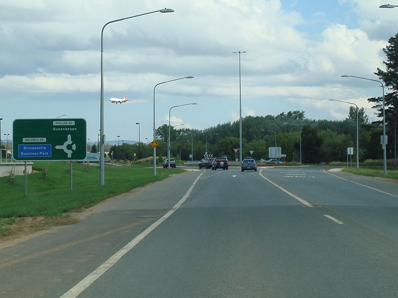 |
Advance Directional Sign: AD sign at Pialligo approaching Molonglo Circuit, December 2009. Image © Paul Rands |
|
 |
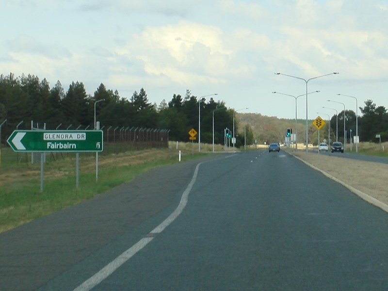
Glenora Drive Junction: Corner of Pialligo Av and Glenora Dr at Pialligo, February 2010. Image © Paul Rands |
 |
Divided Road Ahead: Approaching a small section of divided road, at the eastern edge of Canberra Airport at Pialligo, December 2009. Image © Paul Rands |
|
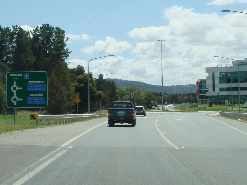 |
Advance Directional Sign: AD sign at Pialligo, approaching Molonglo Dr and Brindabella Cct, February 2010. Image © Paul Rands |
 |
Passing Airport Runway Approach: Eastbound at Pialligo as you pass the approach to the north-south runway of Canberra Airport, December 2009. Image © Paul Rands |
|
 |
Advance Directional Sign: Pialligo Av approaching Brindabella Cct at Pialligo, February 2010. Image © Paul Rands |
 |
Glenora Drive Intersection: Intersection direction sign at Pialligo near the Glenora Drive intersection, December 2009. Image © Paul Rands |
|
 |
Advance Directional Sign: Diagrammatic AD sign at Pialligo, approaching Terminal Av, February 2010. Image © Paul Rands |
 |
Near The Stock Yards: Looking southeast at Majura near the stock yards, December 2009. Image © Paul Rands |
|
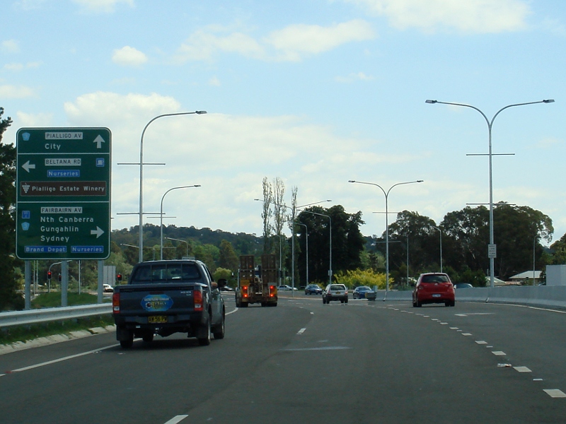 |
Advance Directional Sign: AD sign at Pialligo approaching Beltana Rd, Fairbairn Av (TD3) and the Tourist Drive 3 section of Pialligo Av, February 2010. Image © Paul Rands |
 |
Approaching The Speedway and Air Disaster Memorial Junction: Looking southeast at Majura, December 2009. Image © Paul Rands |
|
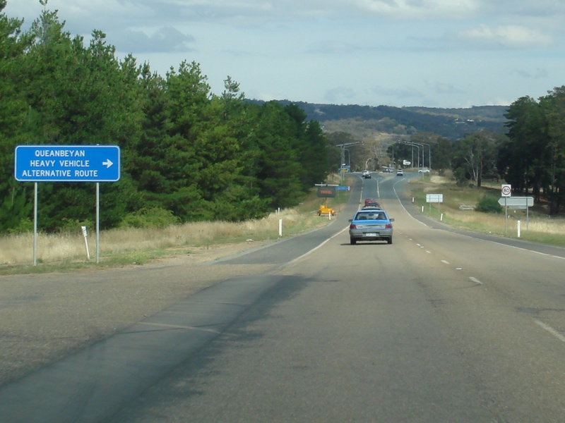 |
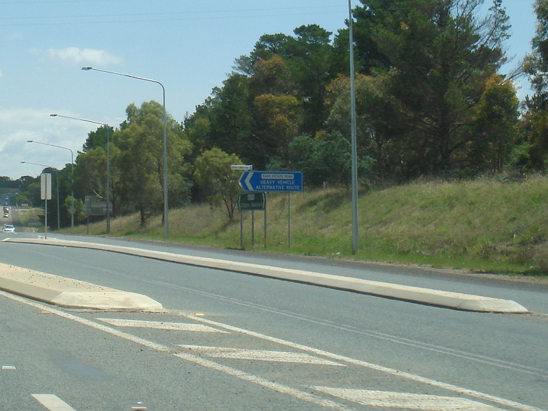
Heavy Vehicle Route AD Sign: Advance directional sign for heavy vehicles approaching Oaks Estate Road at Majura, December 2009. Image © Paul Rands |
|||
 |
Heavy Vehicle Route Supplemental AD Sign: Supplemental advance directional sign for heavy vehicles approaching Oaks Estate Road at Majura, December 2009. Image © Paul Rands |
|||
 |
Intersection Directional Sign: ID sign at the junction with Oaks Estate Road at Majura, December 2009. Image © Paul Rands |
|||
 |
Intersection Directional Sign: ID sign directional sign for heavy vehicles at the junction with Oaks Estate Road at Majura, December 2009. Image © Paul Rands |
|||
 |
Advance Directional Sign: AD sign at Majura approaching the junction with Yass Road and Sutton Road, December 2009. Image © Paul Rands |
|||
 |
Yass Road & Sutton Road Intersection: ID sign at Majura at the junction with Yass Road and Sutton Road, December 2009. Image © Paul Rands |
|||
| Click here for Pialligo Avenue as Decommissioned Tourist Drive 3 Click here for the continuation of the route as Morshead Drive |
||||
1 ACT Planning & Land Authority Place Name Search, Pialligo Avenue
2 Chief Minister, ACT, John Stanhope, Media Release, Work Starts on Canberra Airports Road Project, 27 February 2008
3 Chief Minister, ACT, John Stanhope, Media Release, Stage one of airport road to open by Christmas, 14 August 2008
4 Chief Minister, ACT, John Stanhope, Media Release, New roads officially open at Canberra airport, 3 April 2009
5 Territory and Municipal Services, Media Release, Traffic Lights on Pialligo Avenue become operational, 25 September 2009
6 War Memorials in Australia, Air Disaster Memorial
Last updated: 10-Nov-2018 23:16
This site © Paul Rands. All rights reserved. Some portions © (copyright) by their respective and credited owners. Permission must be obtained before using any images from this site. For details, please email by clicking here.